Around Lake Baikal (Russia / Siberia Part 2) – May 2024
Am Baikal See (Russland / Sibirien Teil 2) - Mai 2024
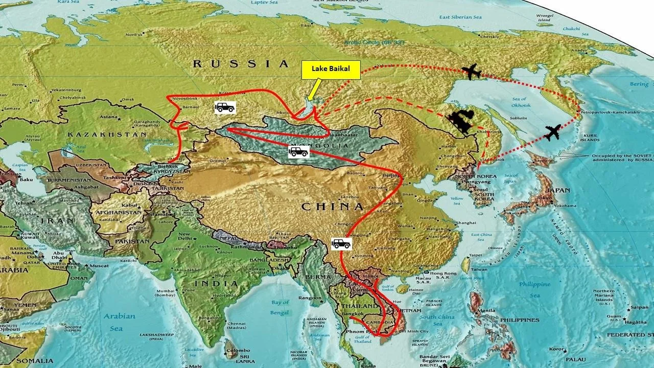
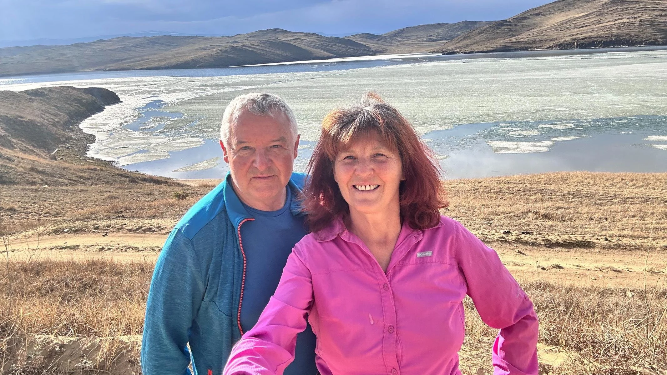
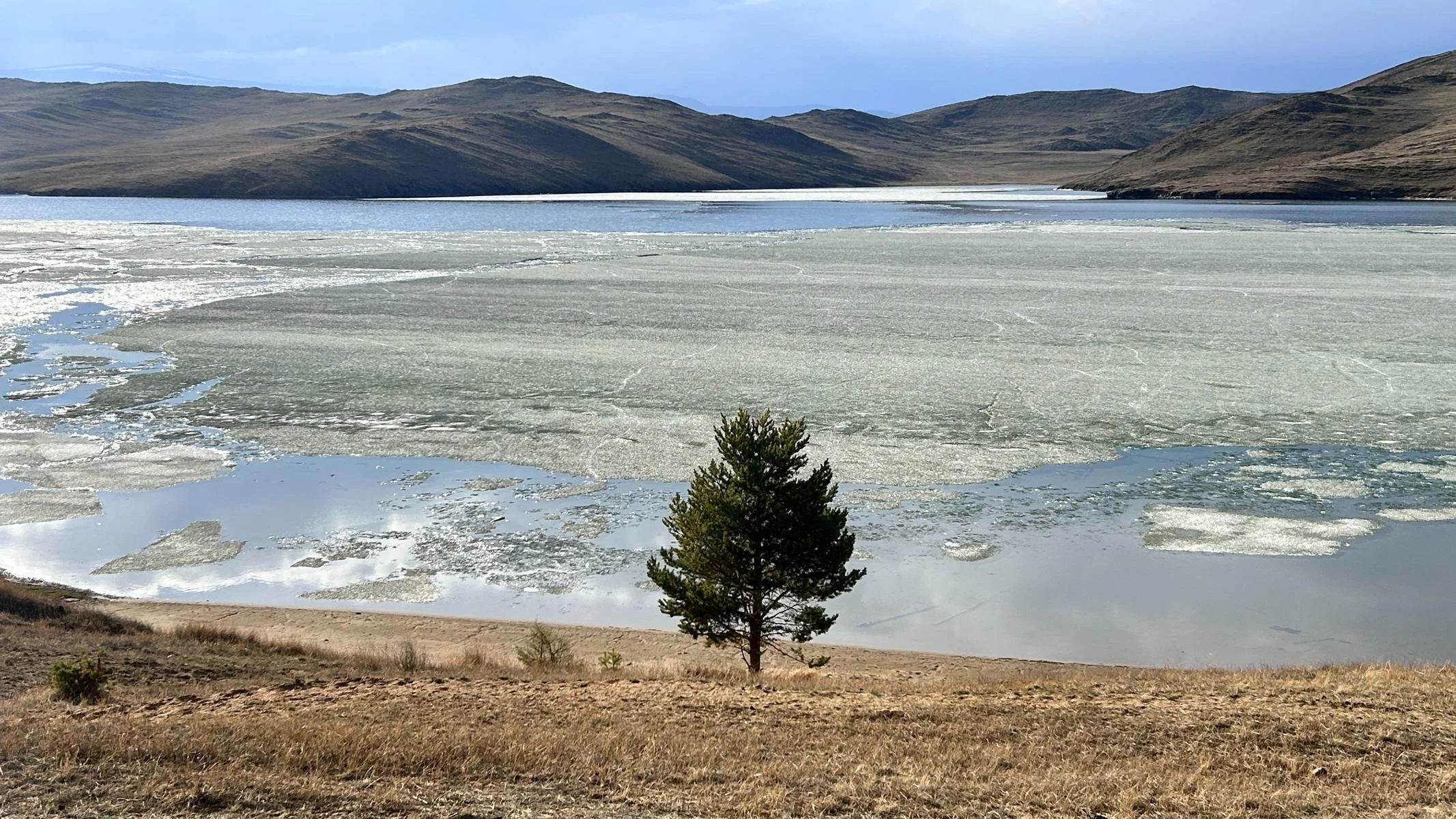
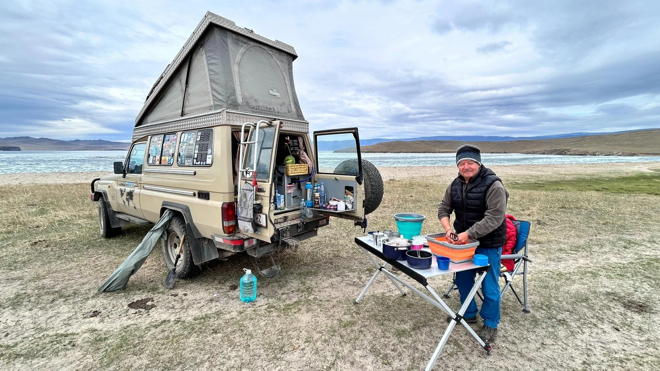
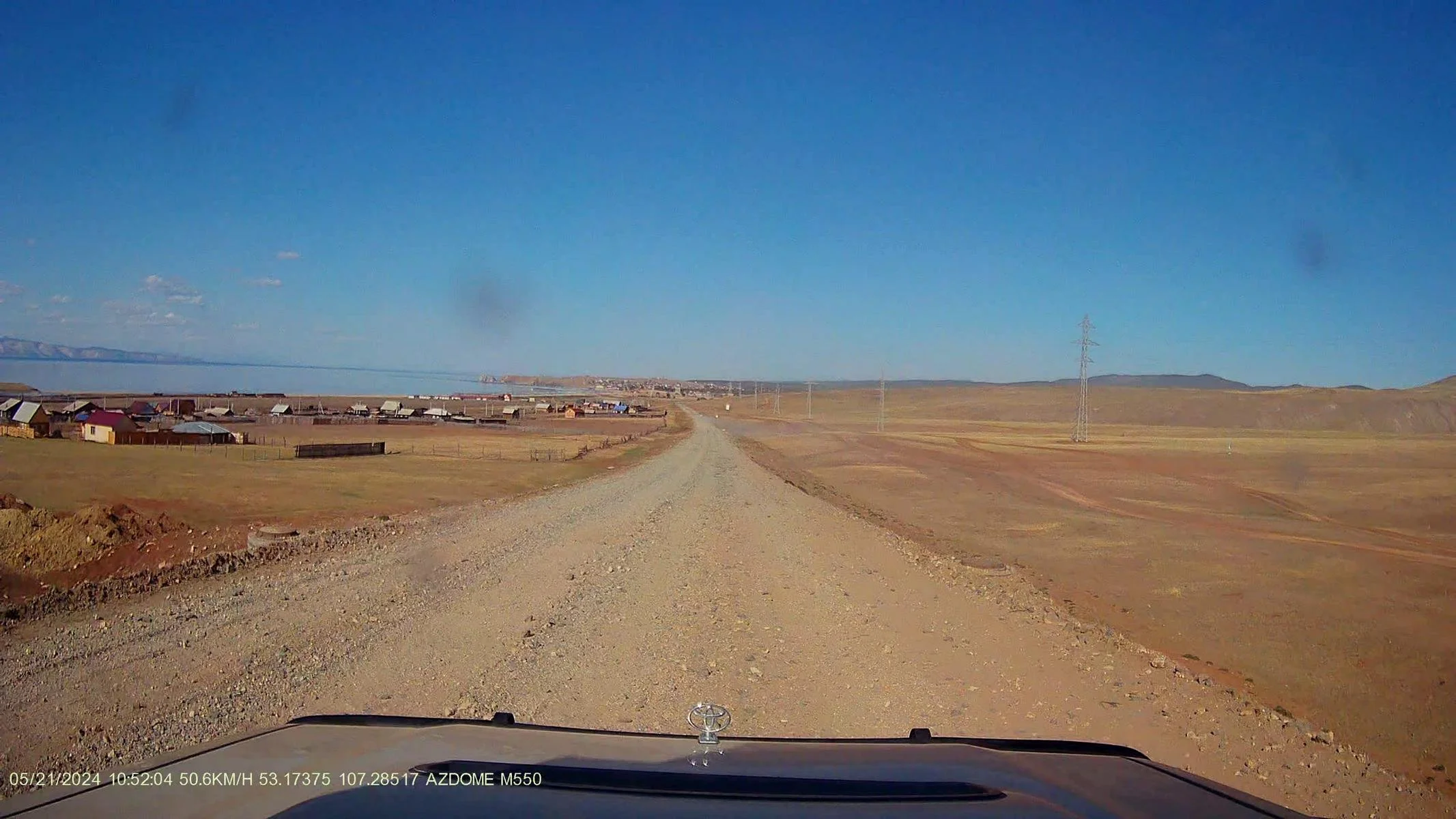
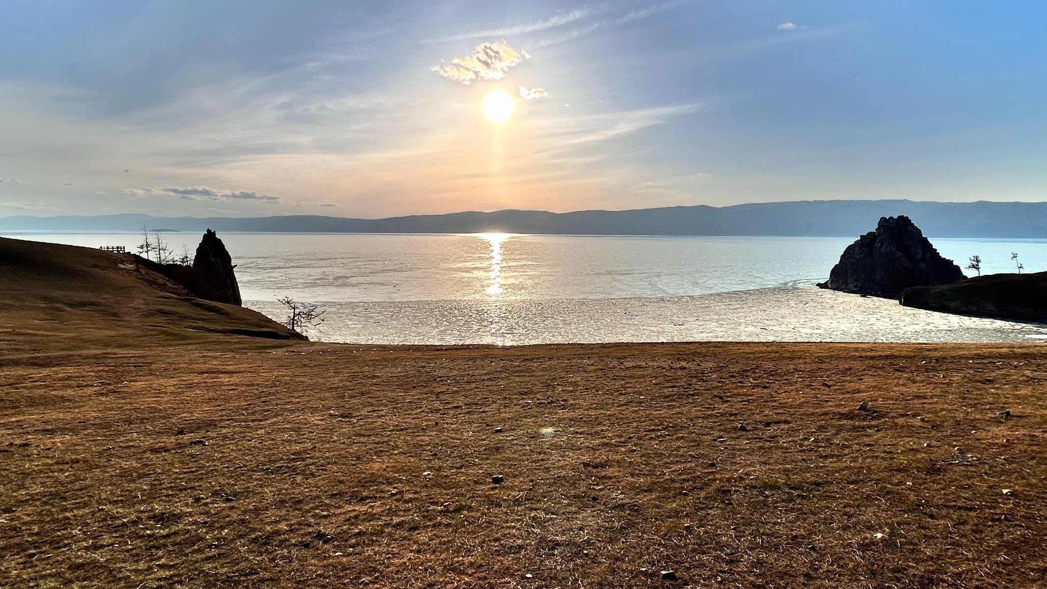
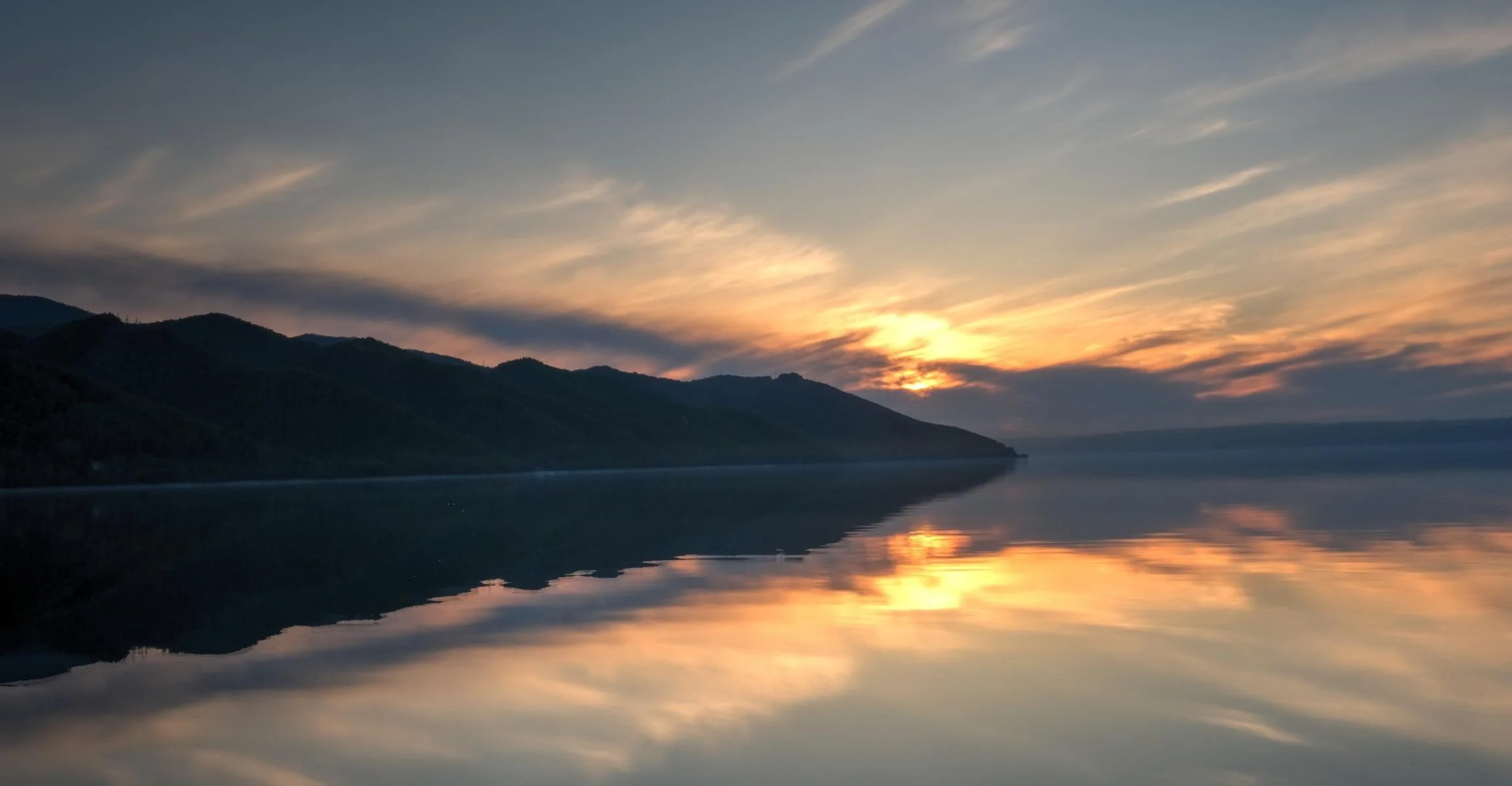
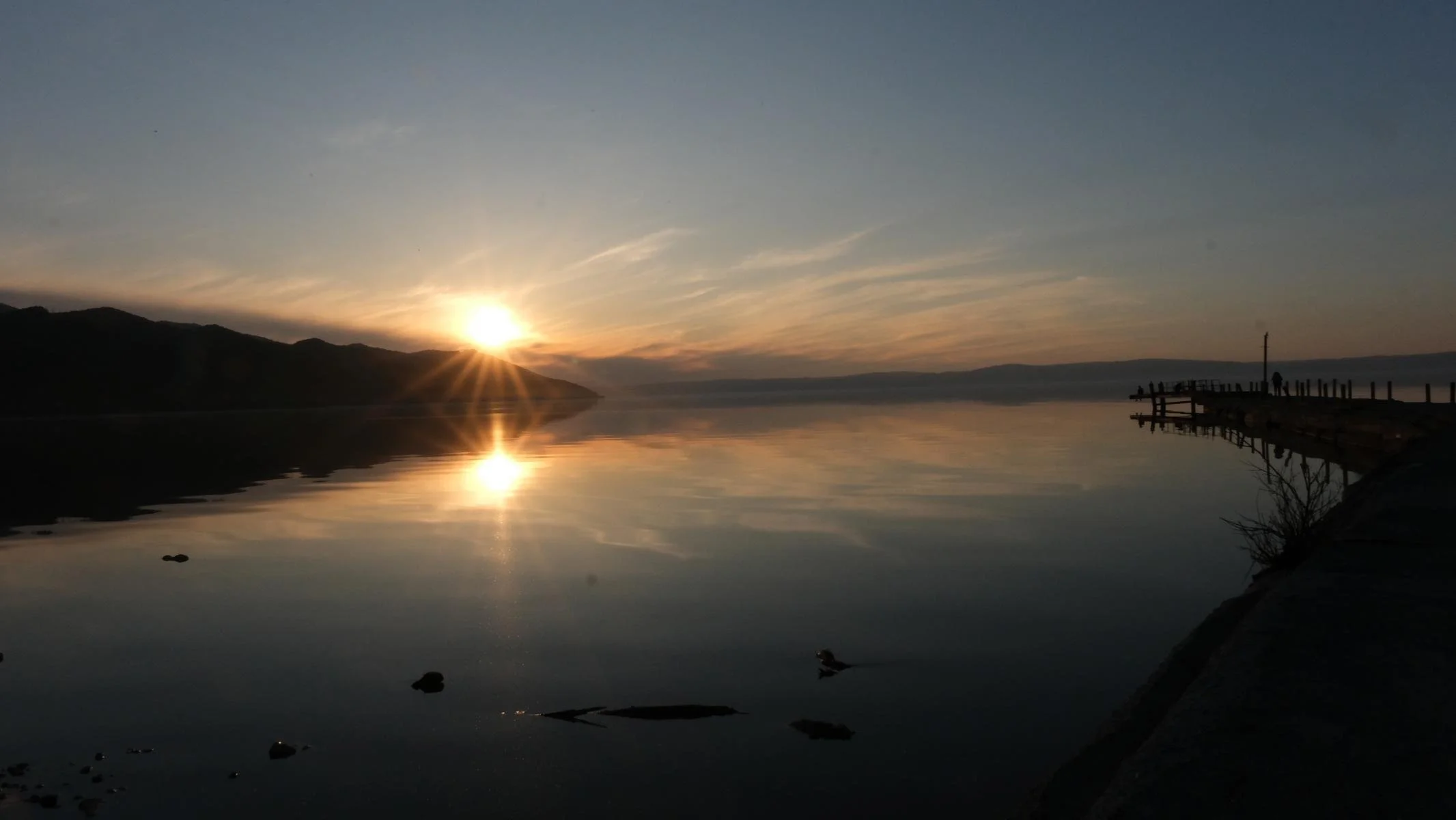
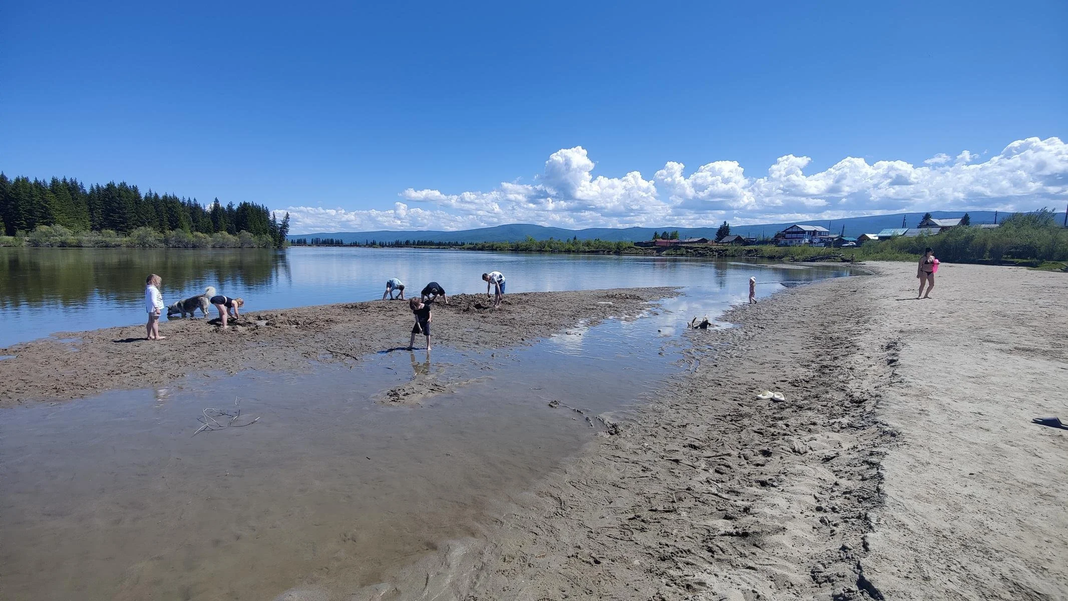
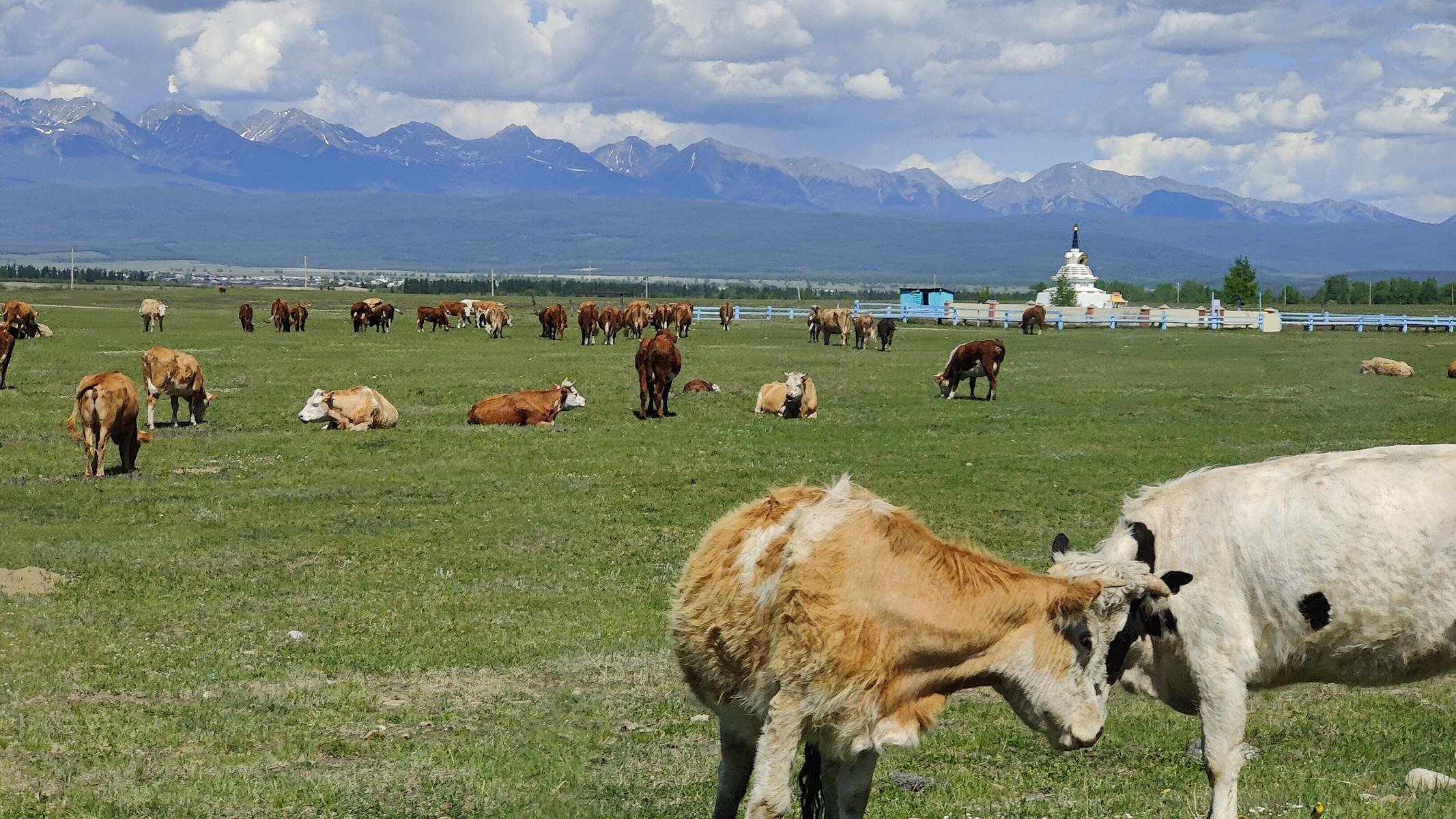
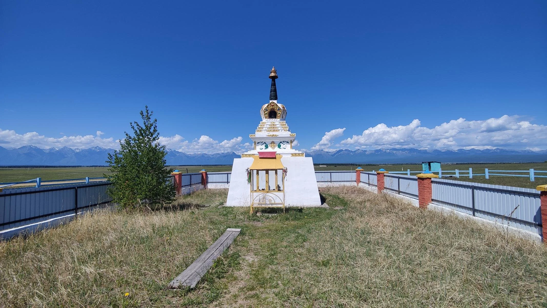
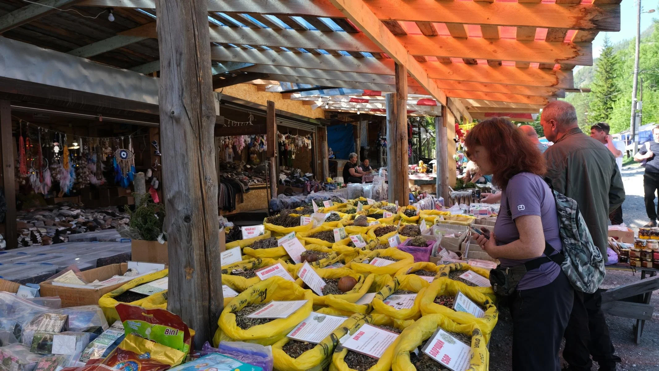
In May, we spent three weeks at Lake Baikal in Siberia. The fact that we were travelling outside of the main tourist season proved to be an advantage, as we had a lot of places to ourselves that are otherwise overrun by tourists in the summer. We first travelled to the west coast to Olkhon Island. We then spent a few days with a Russian family in Baikalsk in the south. We then travelled on to the east coast to the Svyatoi Nos peninsula and the Barguzin Valley.
Im Mai verbrachten wir drei Wochen am Baikalsee in Sibirien. Dass wir außerhalb der Hauptreisesaison unterwegs waren, erwies sich meist als Vorteil, weil wir viel Plätze für uns alleine hatten, die sonst im Sommer von Touristen gestürmt werden. Wir fuhren zunächst an die Westküste zur Insel Olchon. Im Anschluss verbrachten wir dann einige Tage bei einer russischen Familie in Baikalsk im Süden. Danach fuhren wir weiter zur Ostküste auf die Halbinsel Swjatoi Nos und ins Bargusin Tal.
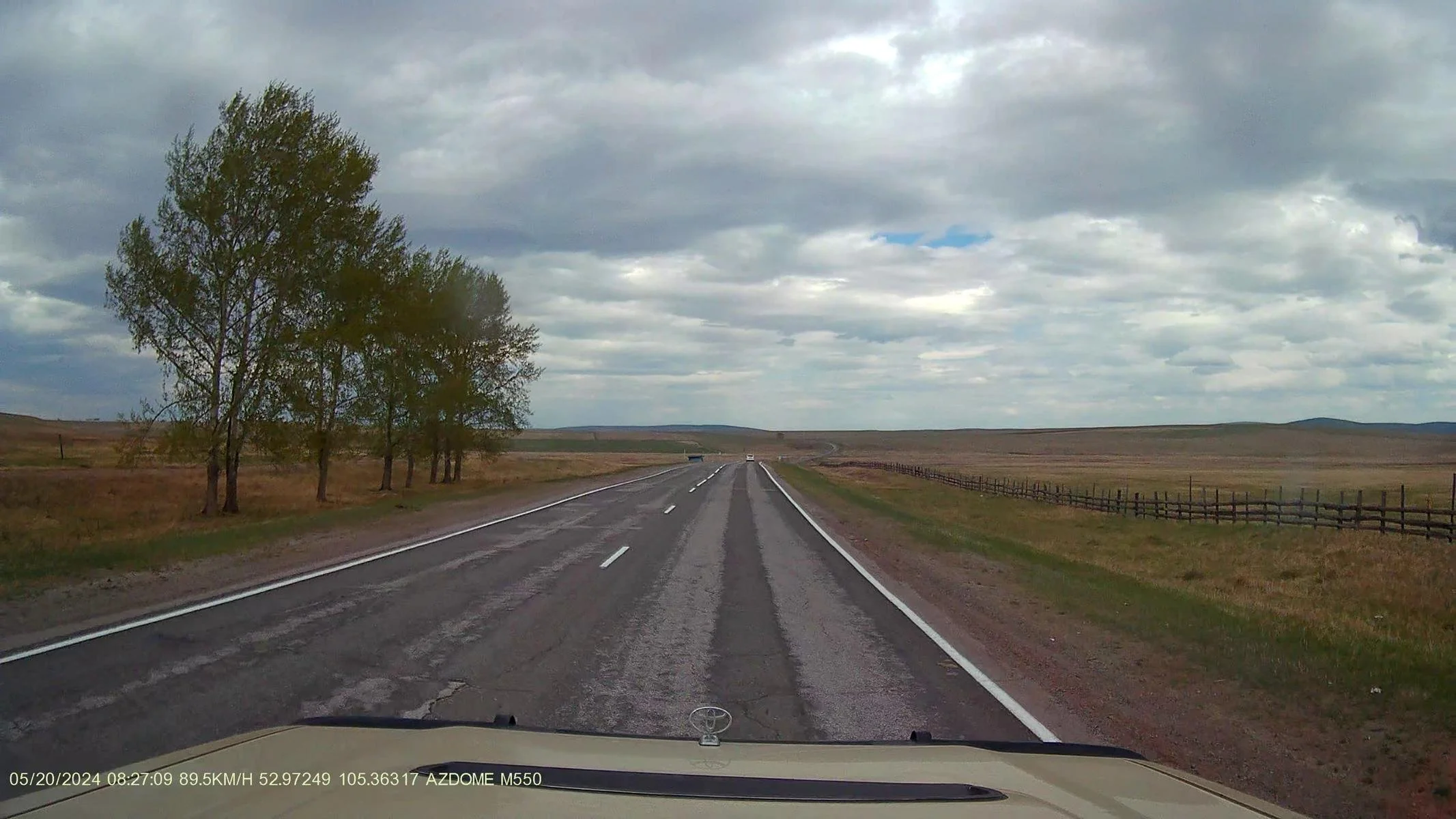
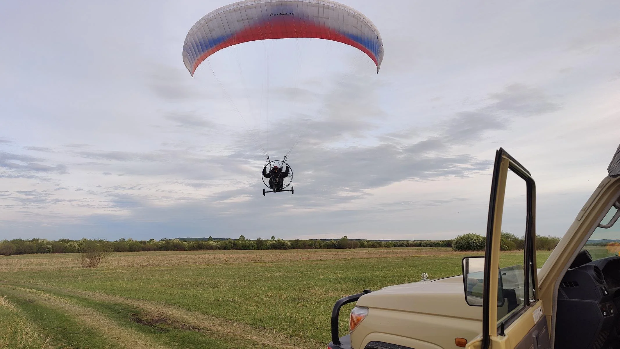
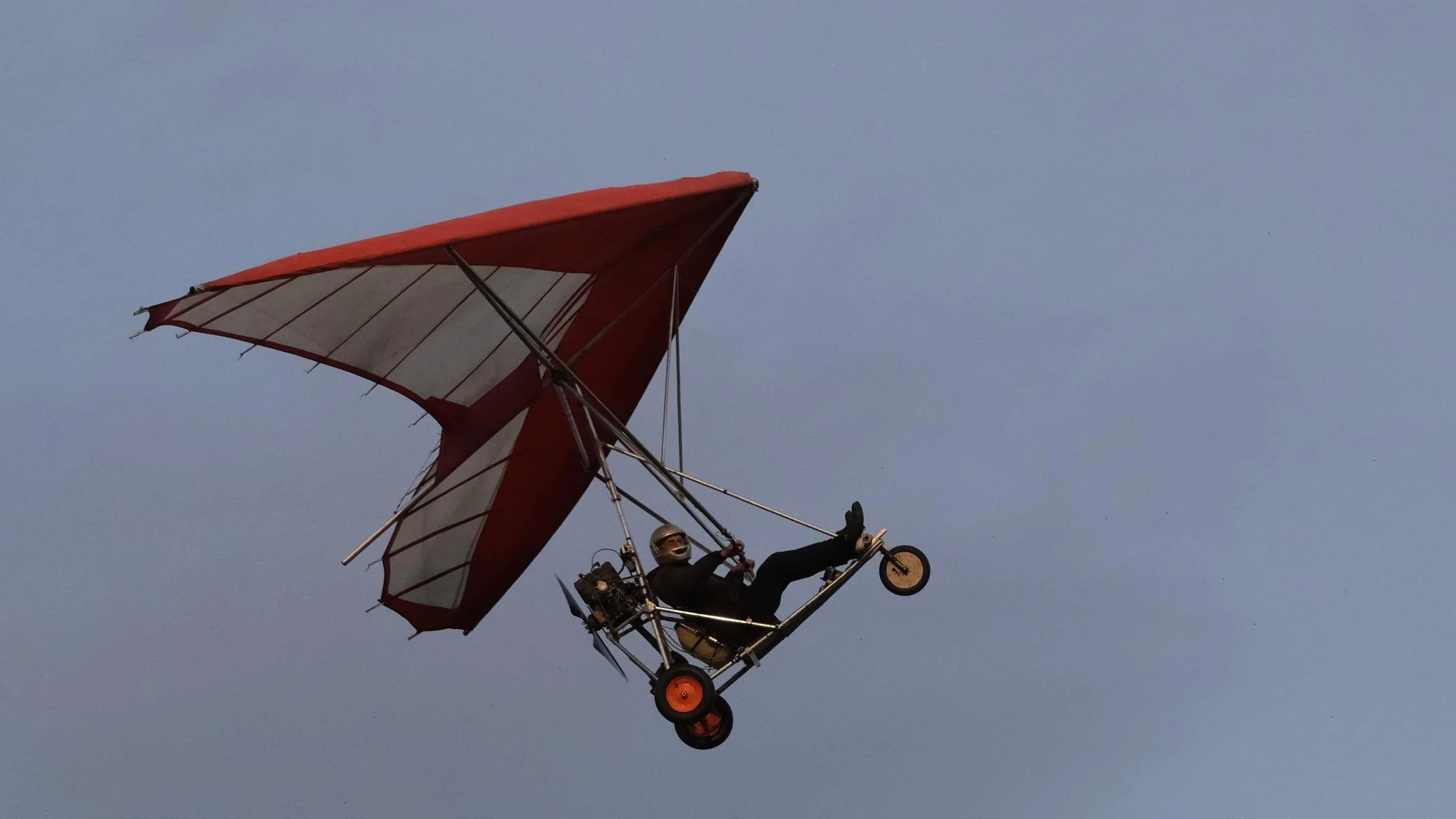
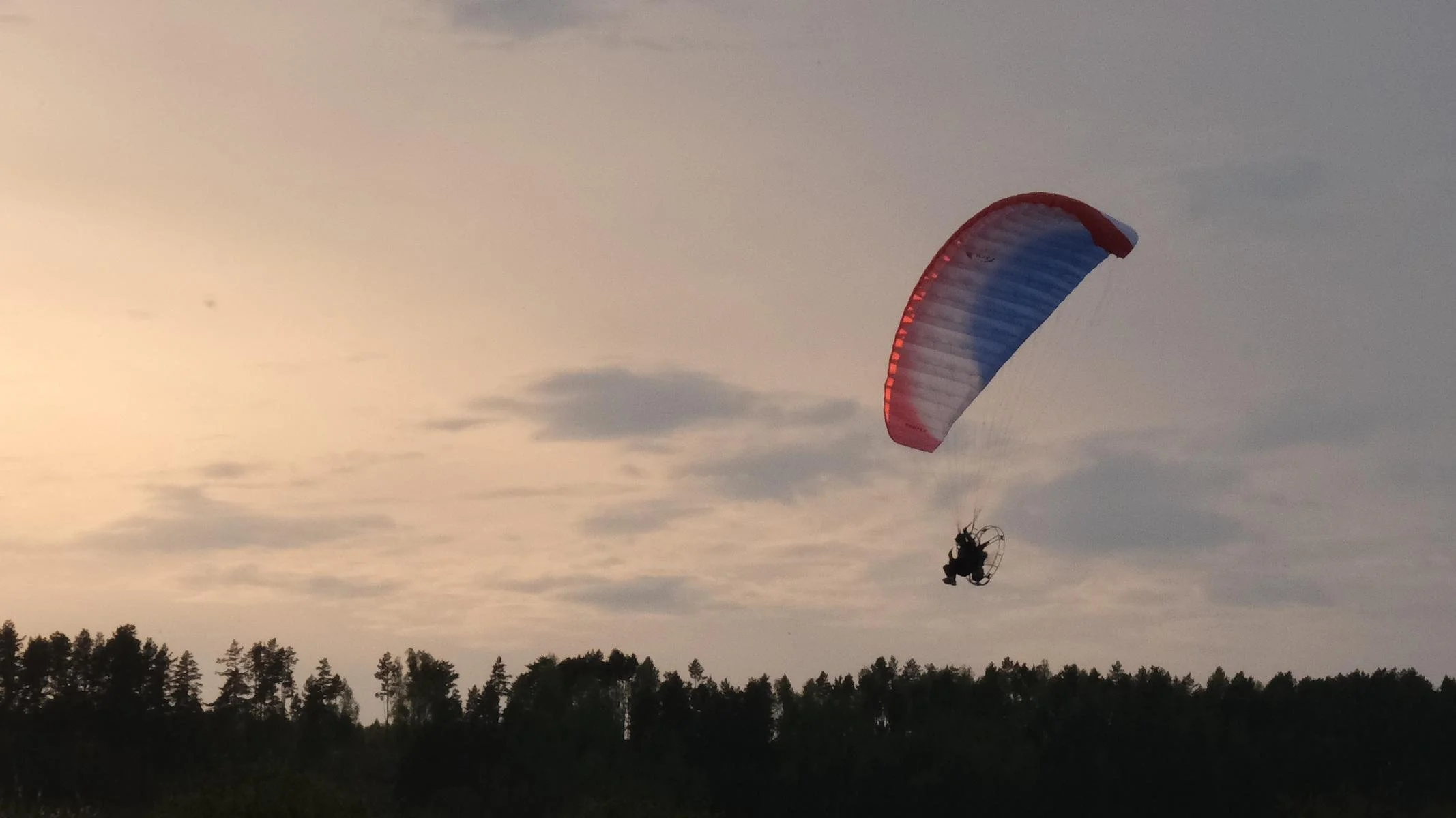
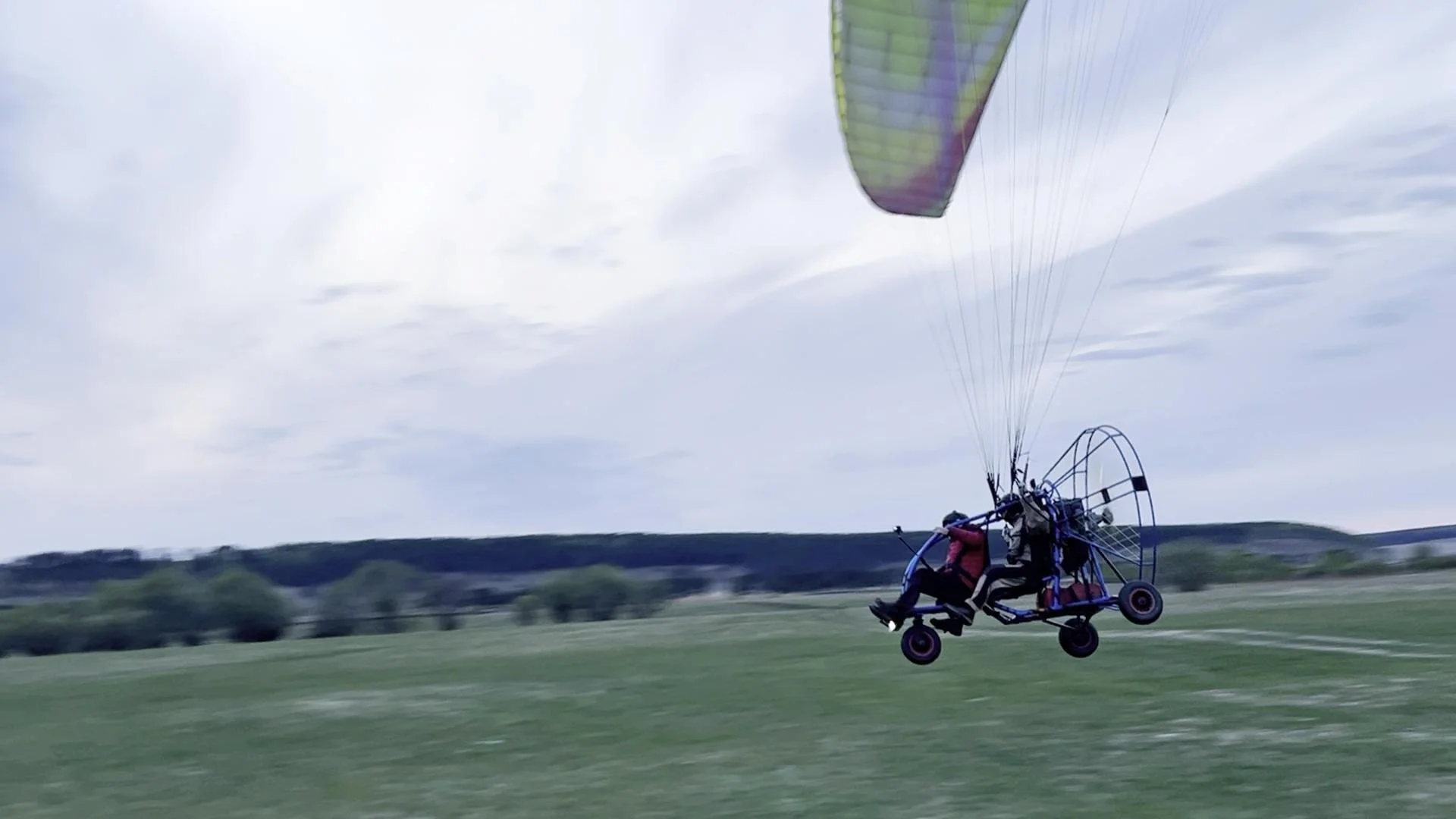
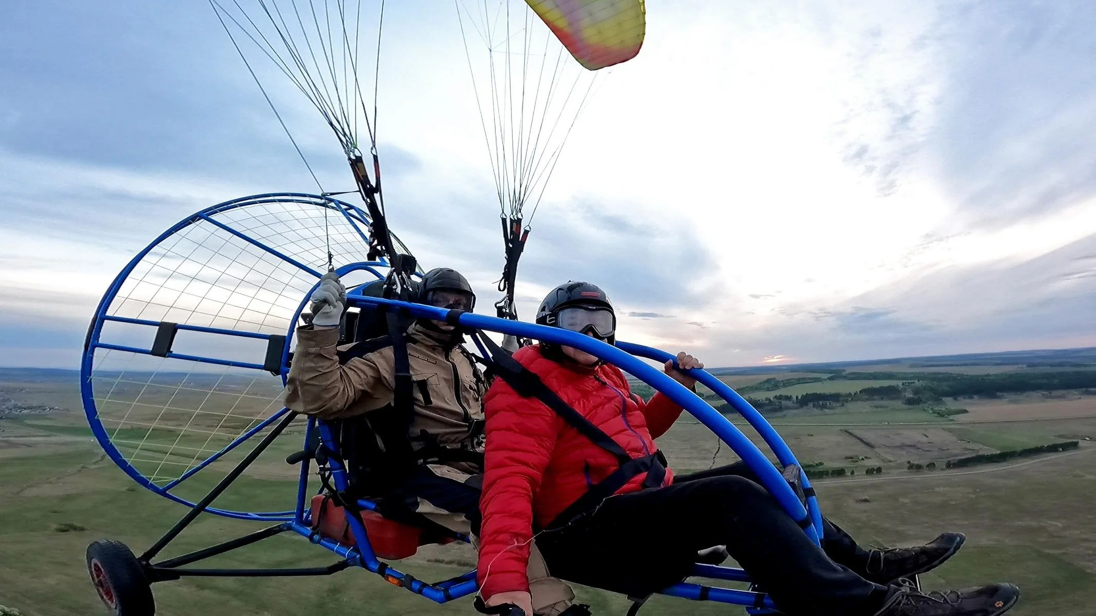
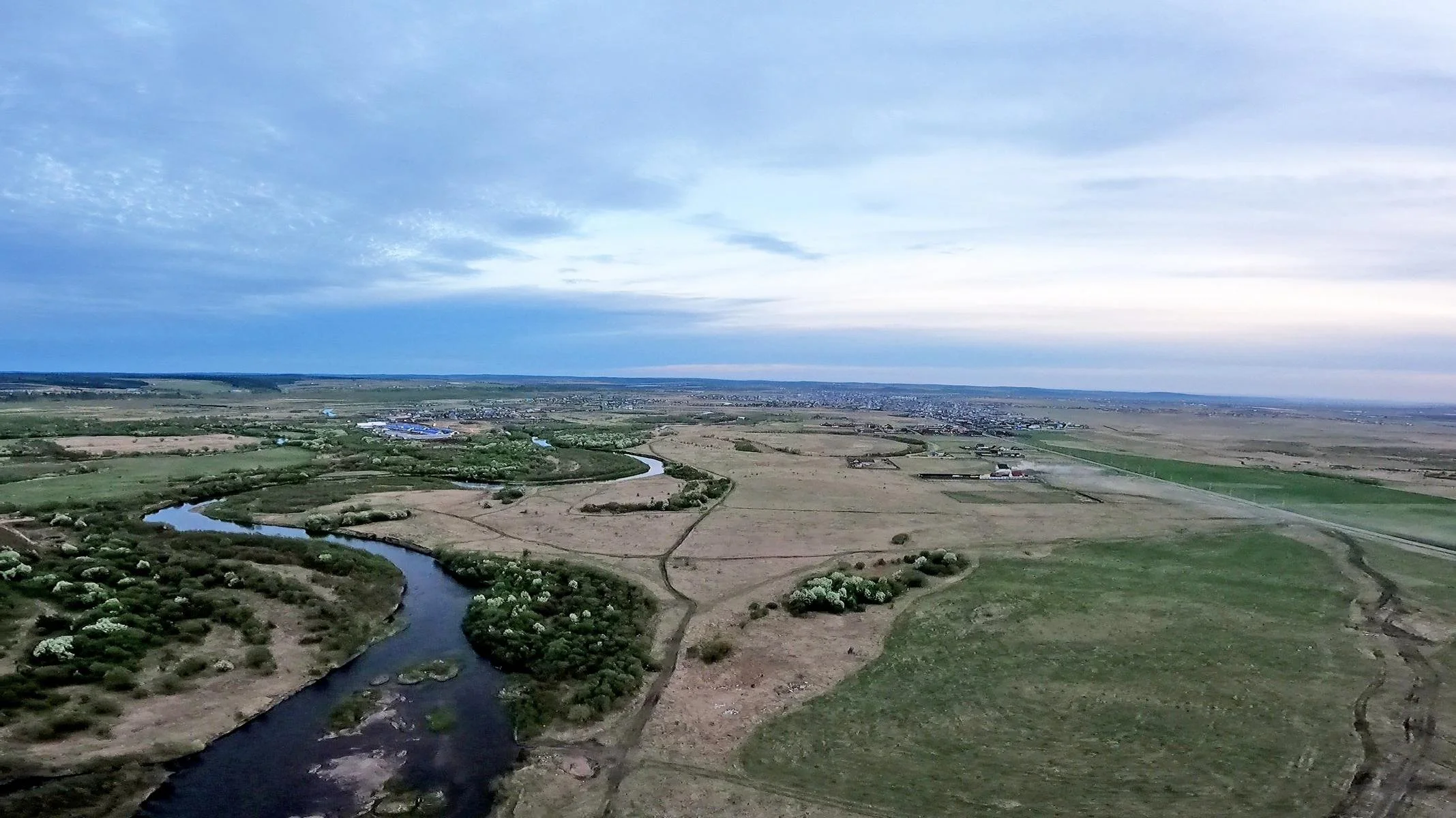
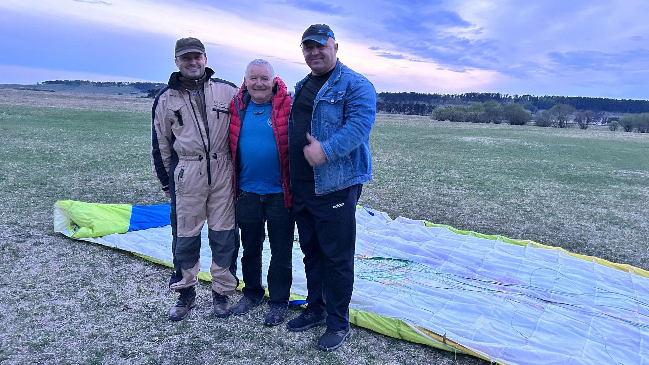
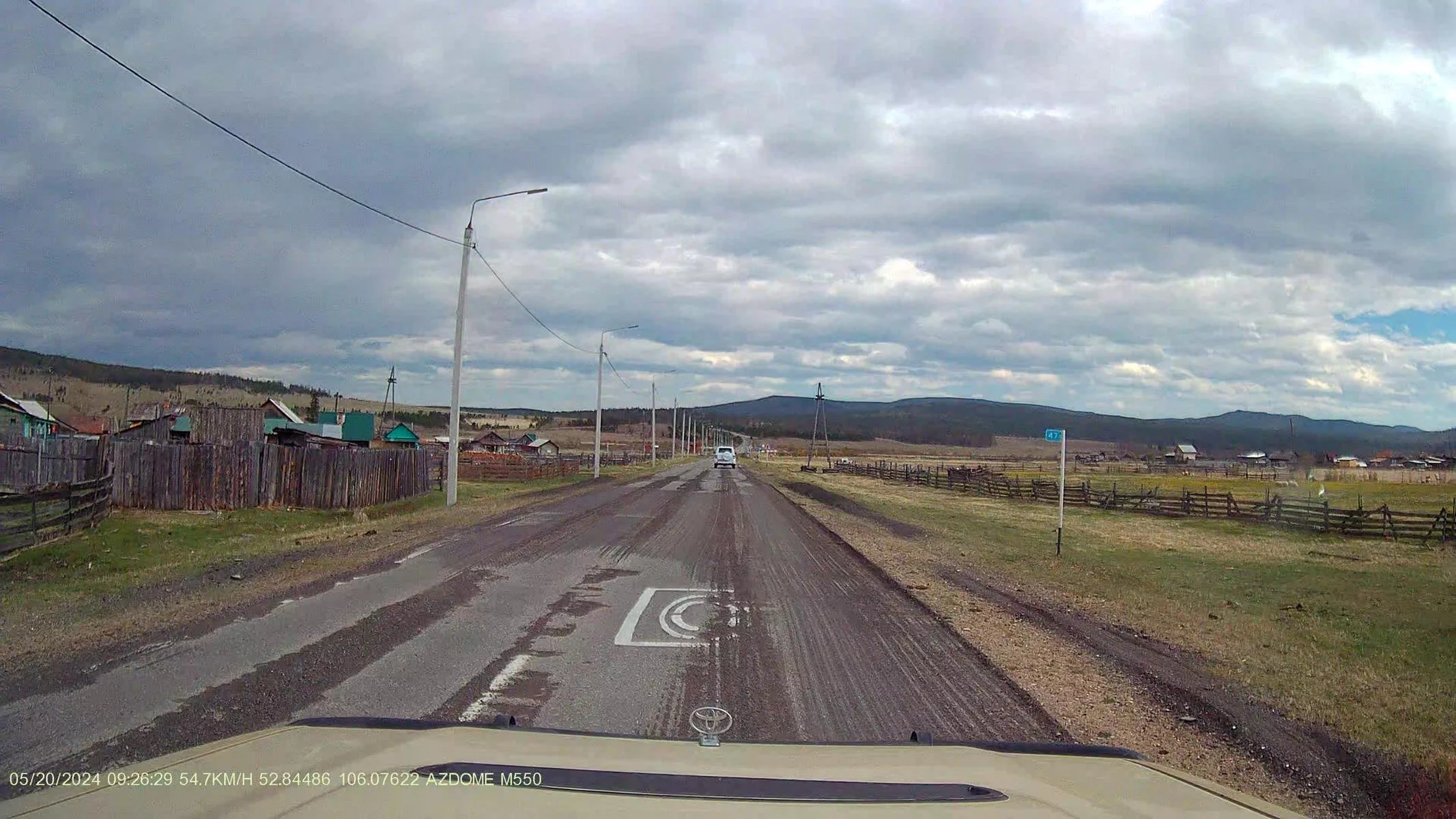
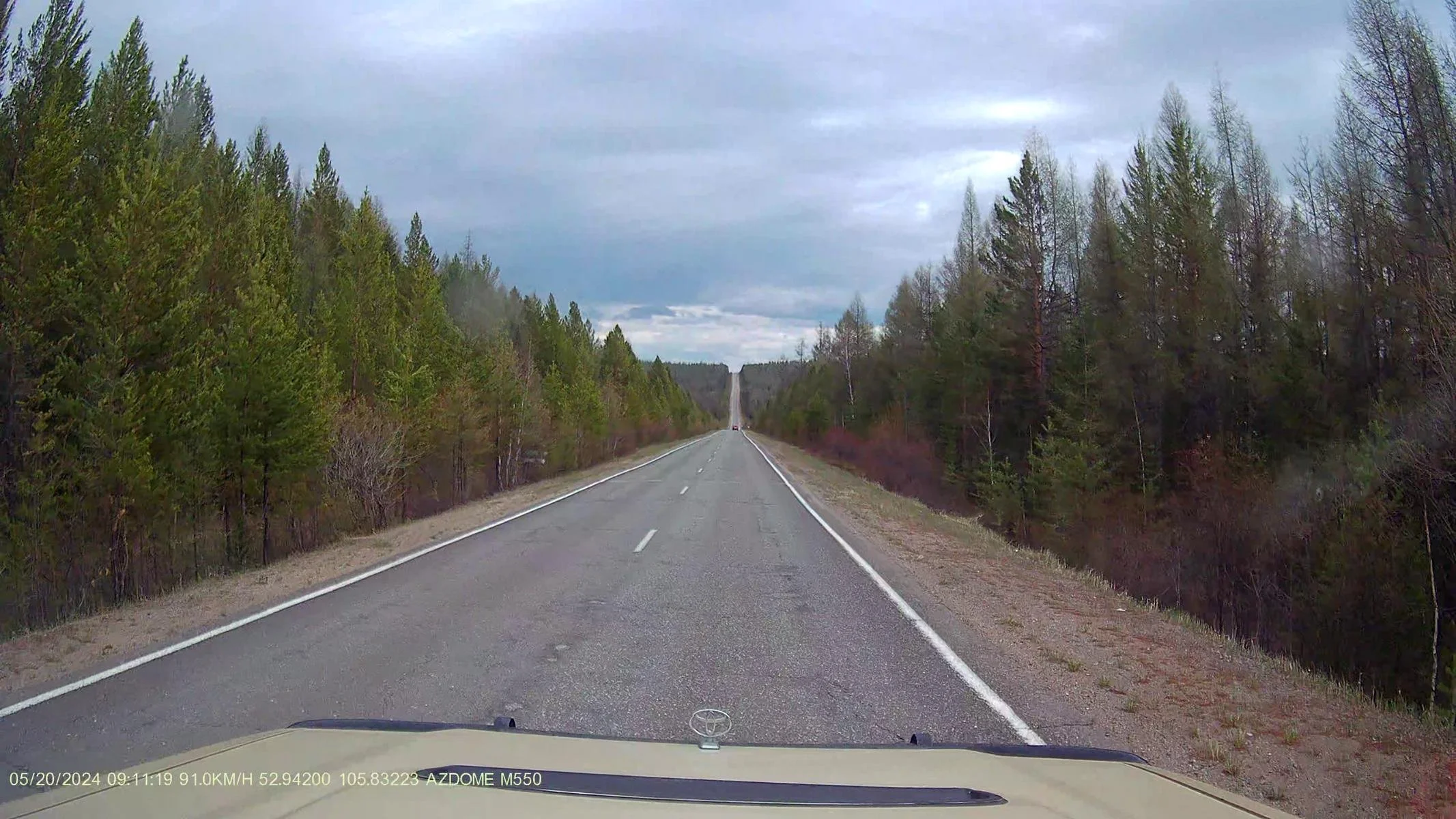
It's a good 300 kilometres from Irkutsk to Olkhon Island. On the way there, we happened to see some motorised paragliders and hang gliders in the air. A friendly pilot invited me (Oskar) on a flight, which I of course accepted immediately 😊. I was thrilled to be up in the air again so unexpectedly!!!
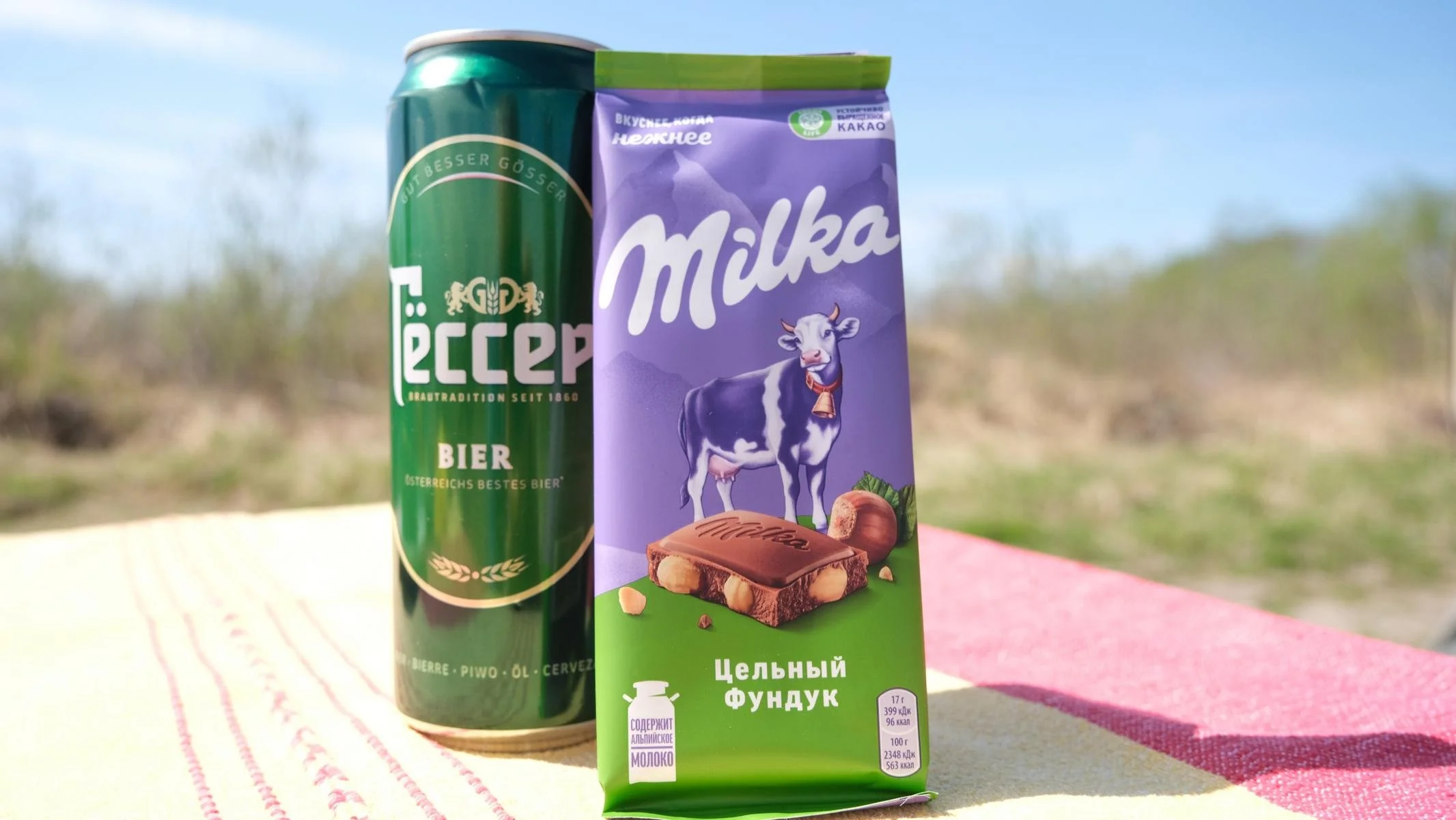
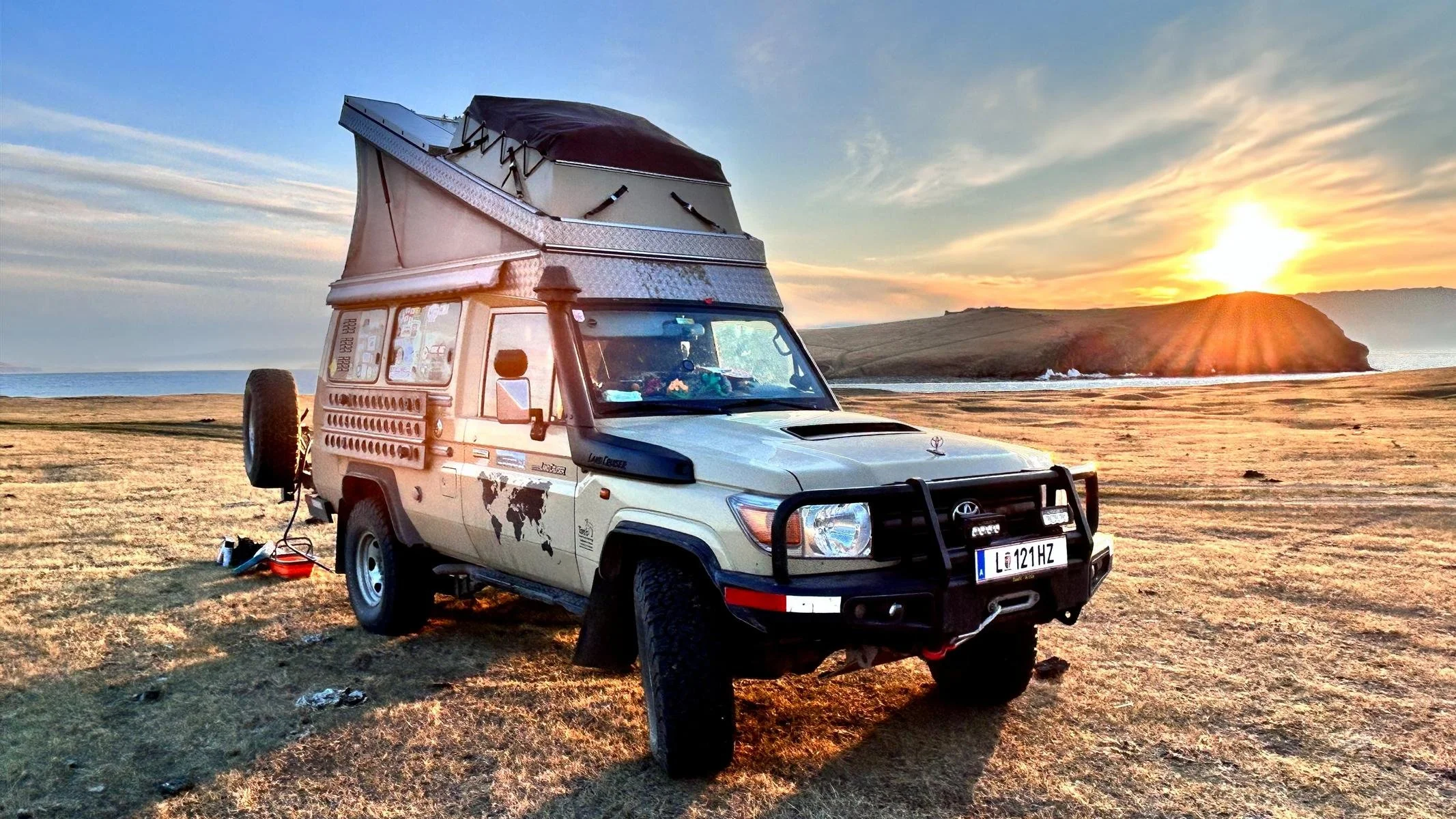
There was plenty of space on the route for wild camping and we are always happy when we find Austrian products such as Gösser beer and Milka chocolate in a supermarket (both are like medicine for homesickness 😊).
Es sind gut 300 km von Irkutsk zur Insel Olchon. Auf dem Weg dorthin sahen wir zufällig einige Motor-Para- und Hängegleiter in der Luft. Ein freundlicher Pilot lud mich (Oskar) auf einen Rundflug ein, was ich natürlich sofort annahm 😊. Ich war begeistert, so unerwartet wieder einmal in der Luft zu sein!!!
Es gab jede Menge Platz auf der Strecke zum Wild-Campieren und wir freuen uns immer, wenn wir österreichische Produkte, wie z.B. Gösser-Bier und Milka Schokolade in einem Supermarkt finden (beides wirkt wie Medizin gegen Heimweh 😊).
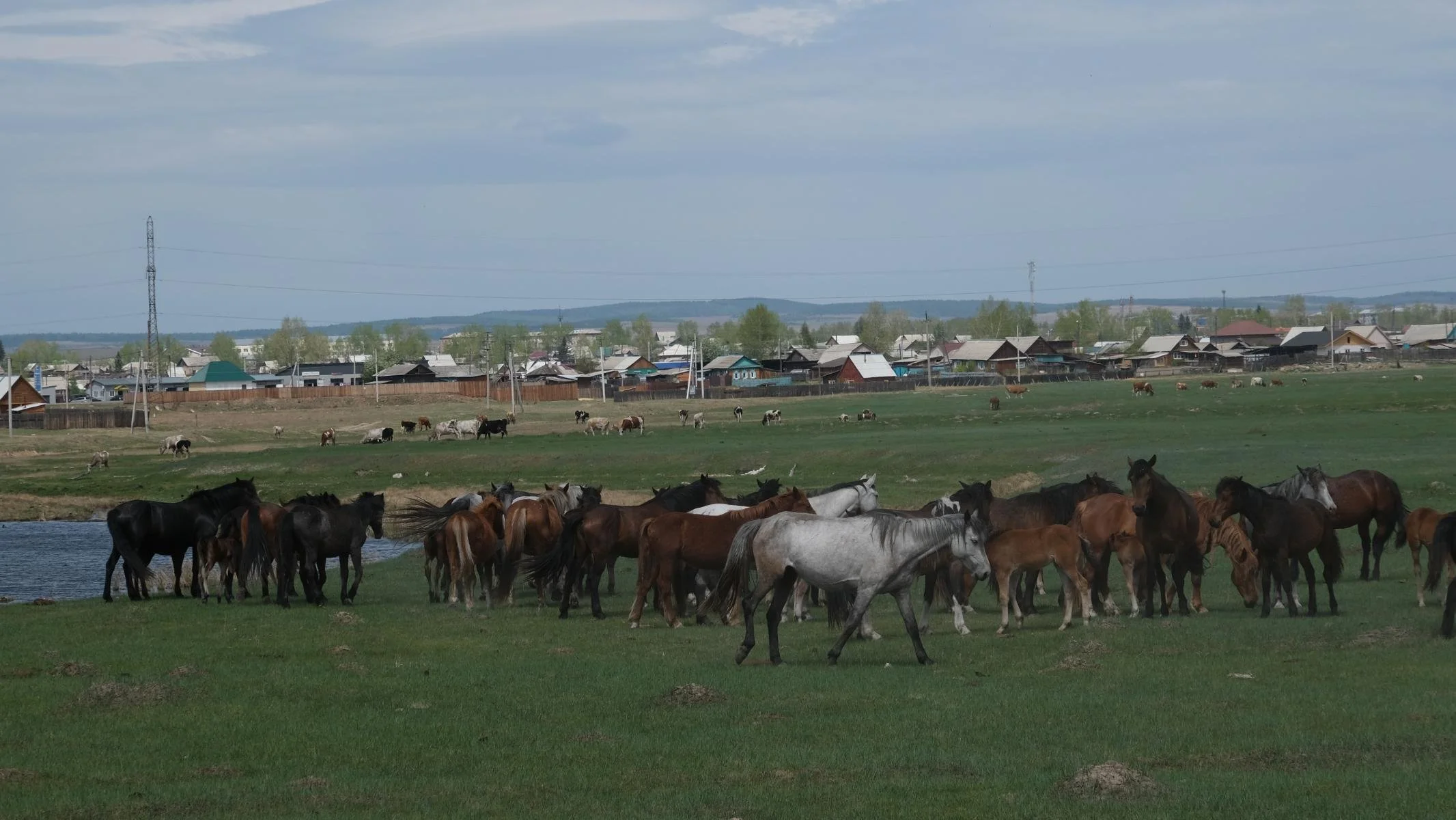
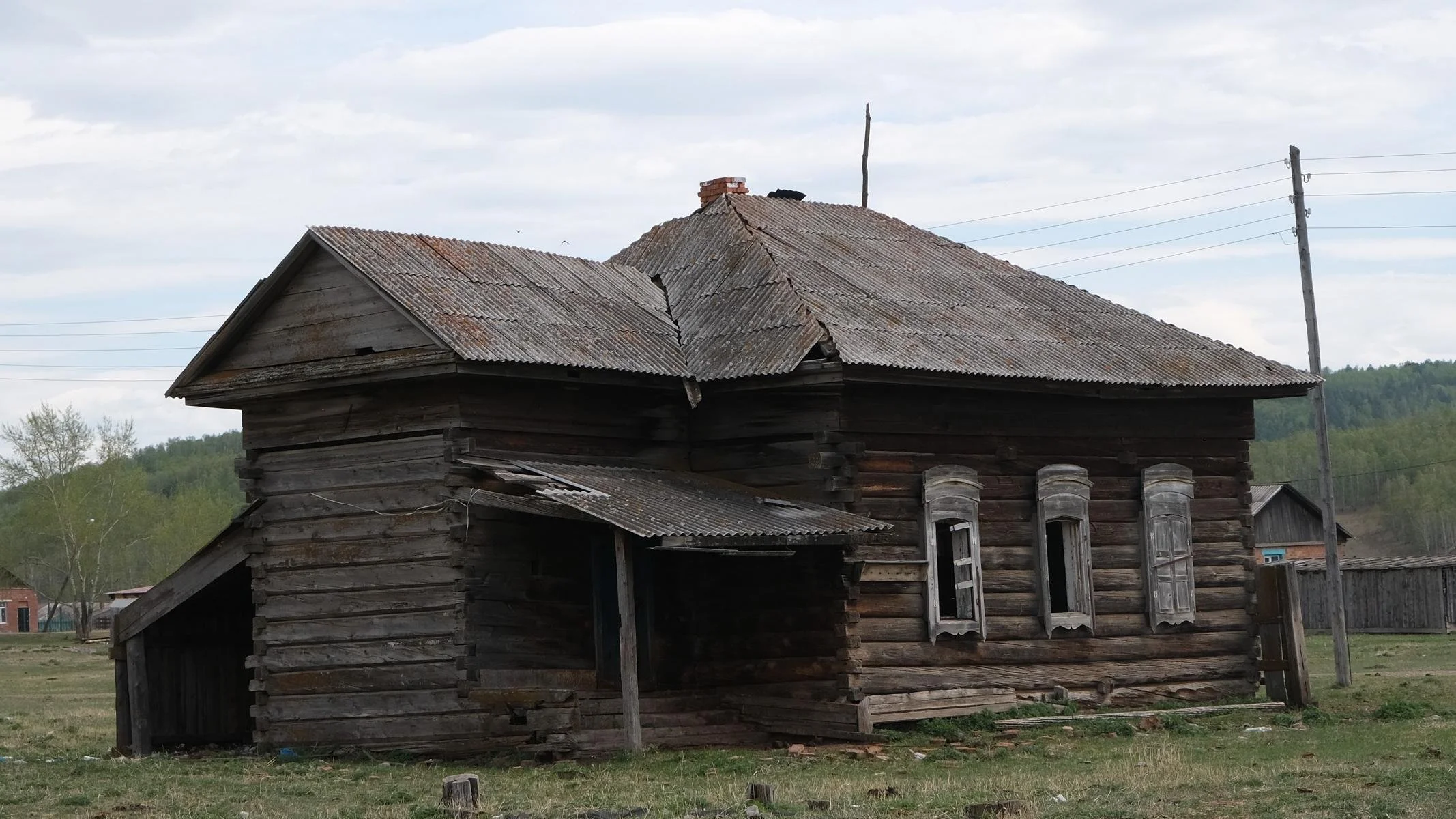
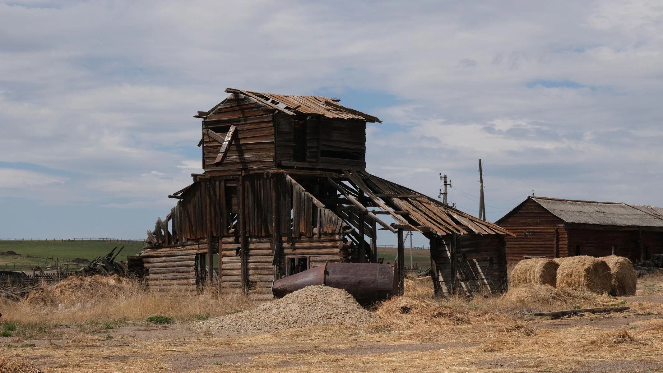
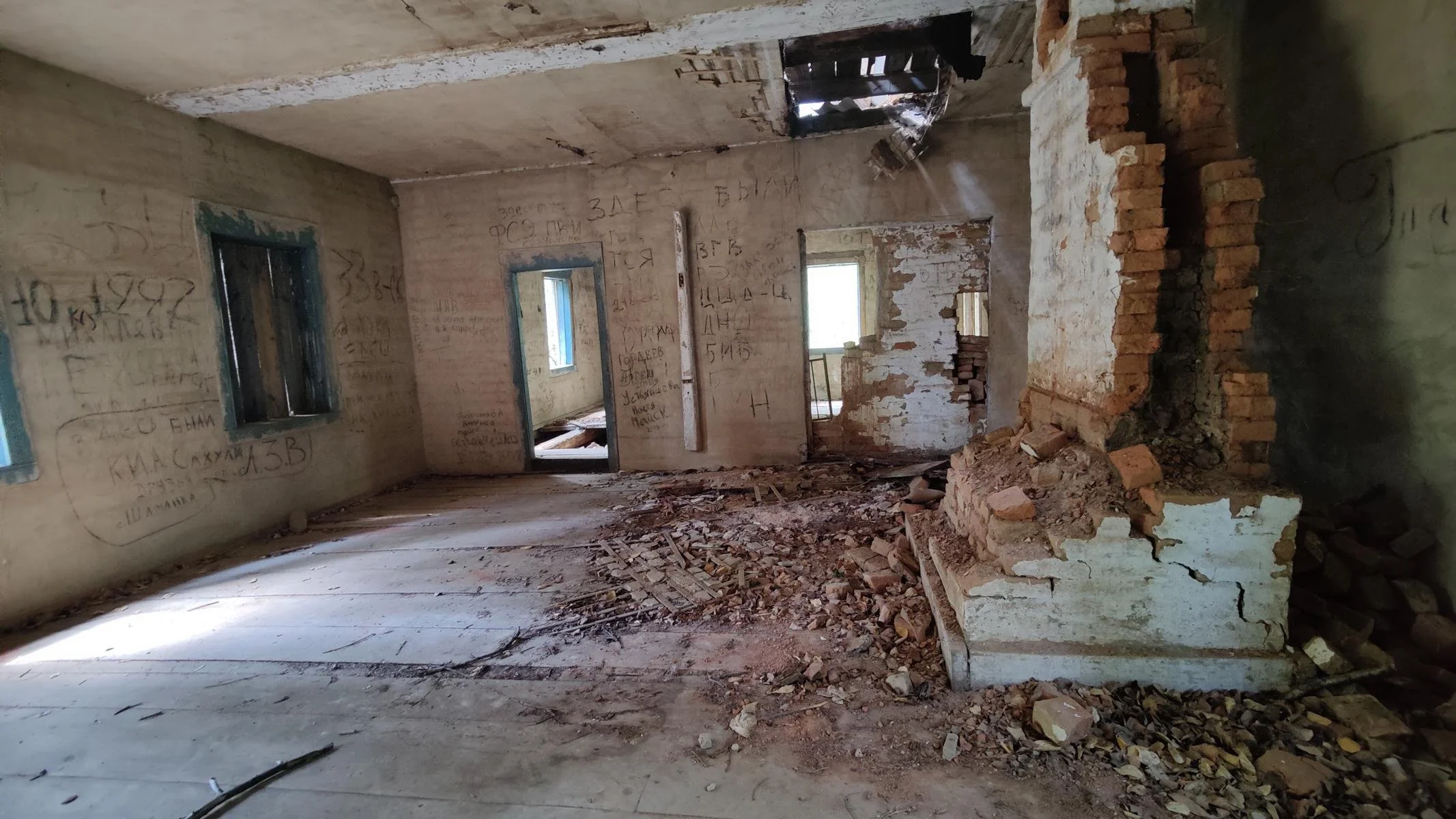
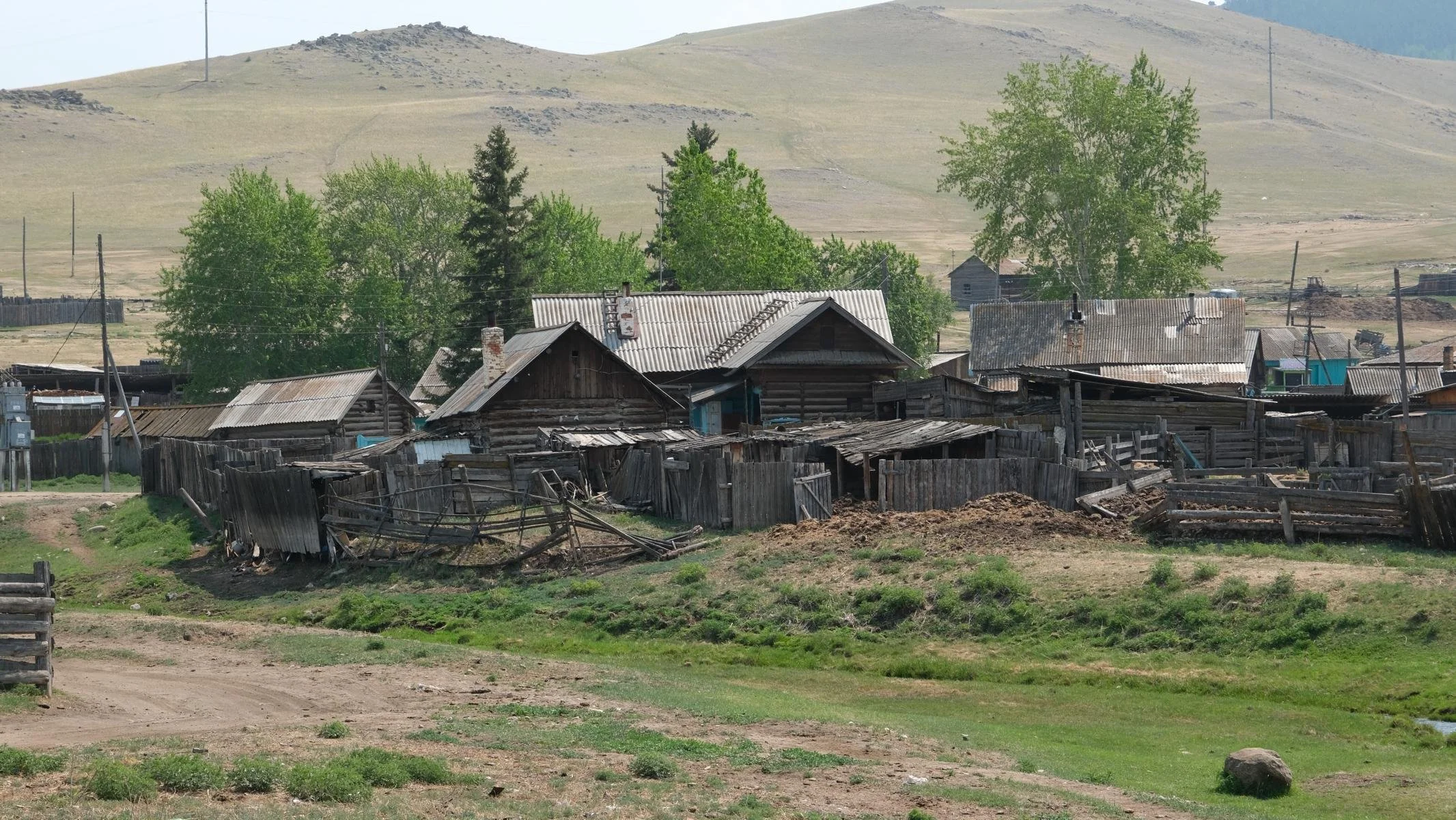
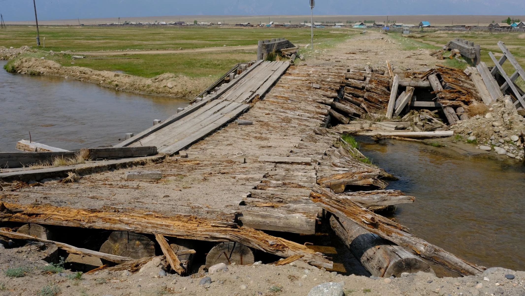
To the left and right of the road we found many abandoned and decaying collective farms. From a photographic point of view, they offer fantastic photo opportunities as lost places. However, the social tragedy behind this is that the young ones are moving away because there is too little profitable work and a few old people are left behind.
Links und rechts der Straße fanden wir viele verlassene und verfallende Kolchosen. Aus fotographischer Sicht bieten sie fantastische Fotomotive als lost places. Dahinter steht allerdings die soziale Tragik, dass die Jungen wegziehen, weil es zu wenig ertragreiche Arbeit gibt und wenige Alte zurückbleiben.
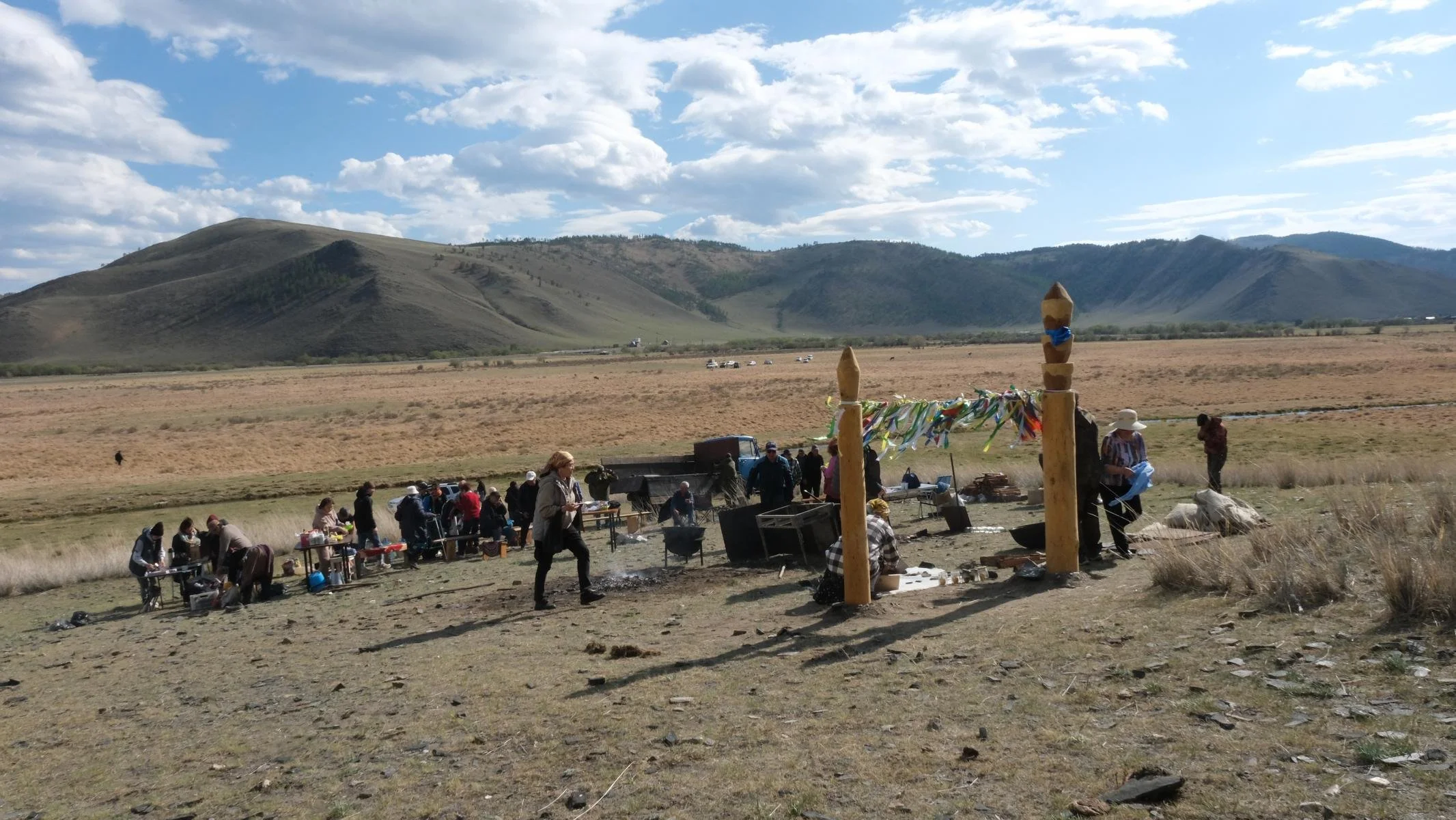
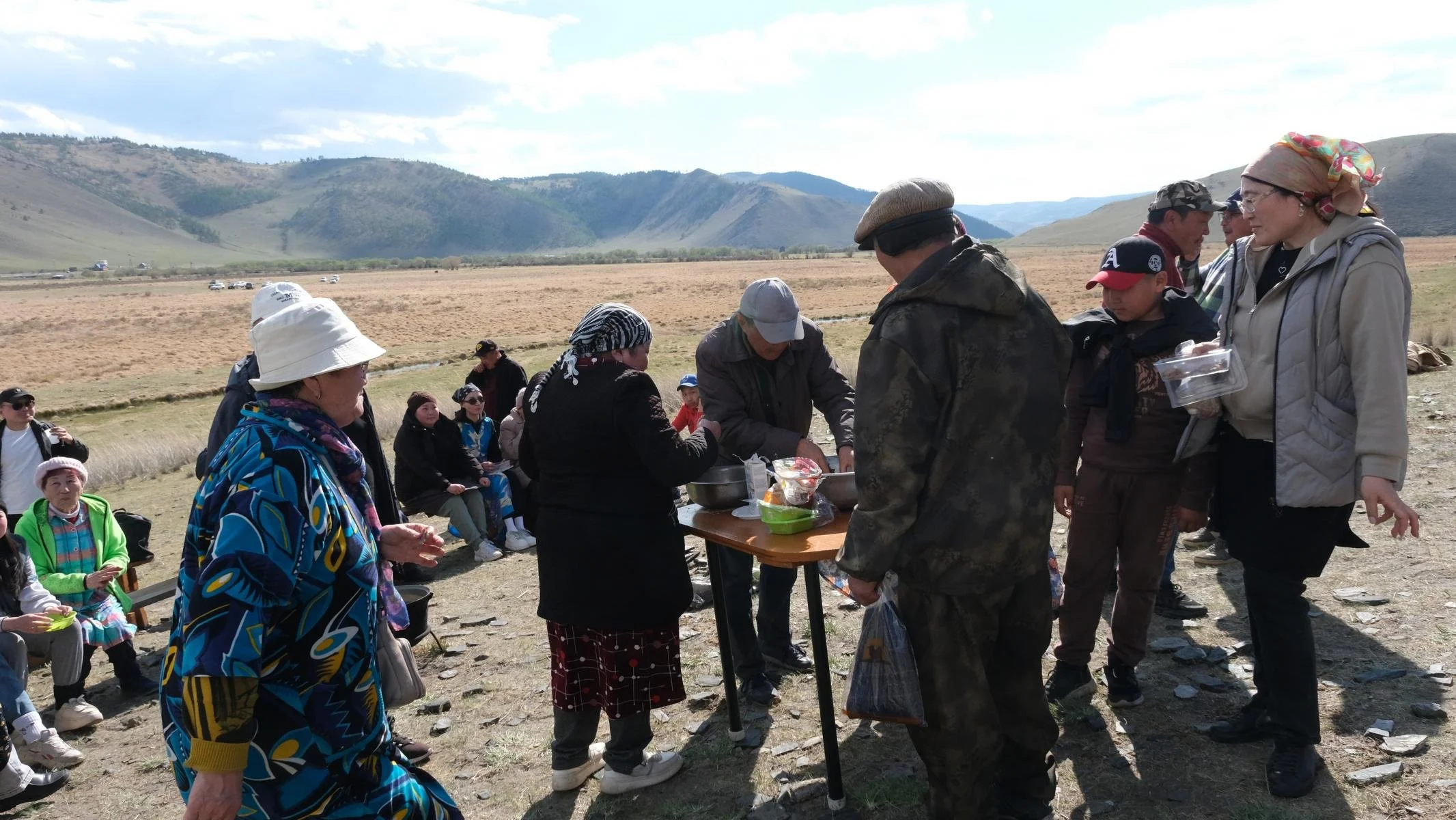
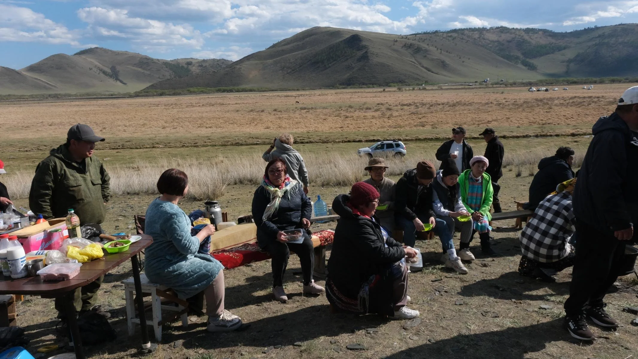
We saw a small gathering at the foot of a hill. The participants were very friendly and invited us for a meal. The clan elder proudly explained to us that they are all descendants from the Mongols and meet once a year at the place where their ancestors used to tether their horses. Some have travelled hundreds of kilometres to be there.
Am Fuße eines Hügels sahen wir eine kleine Versammlung. Die Teilnehmer*innen waren sehr freundlich und luden uns zum Essen ein. Der Klan-Älteste erklärte uns stolz, dass sie alle von den Mongolen abstammen und sich einmal im Jahr an dem Ort treffen, wo ihre Vorfahren früher ihre Pferde angebunden hätten. Manche sind hunderte Kilometer angereist, um dabei zu sein.
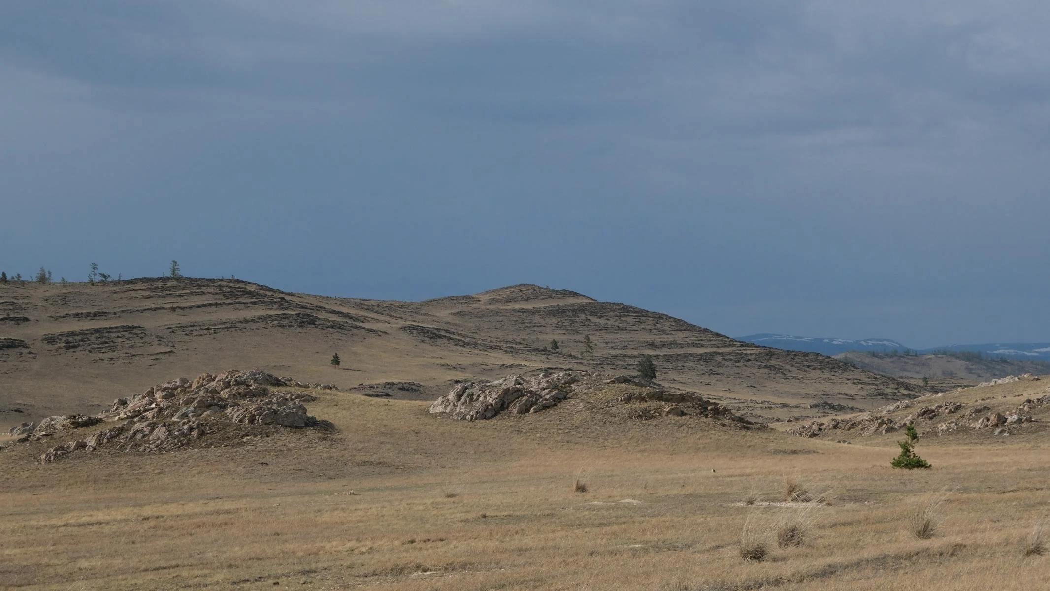
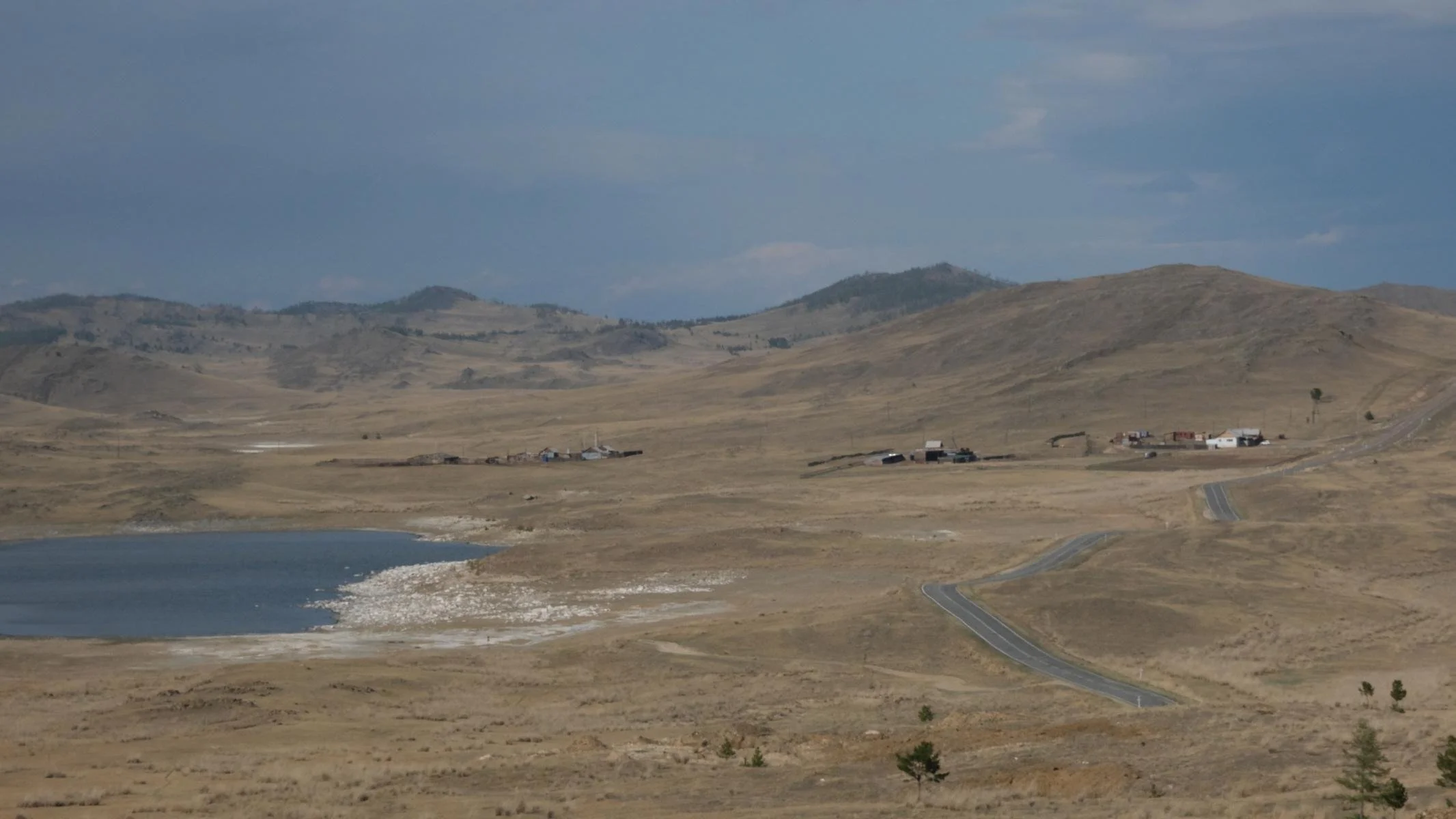
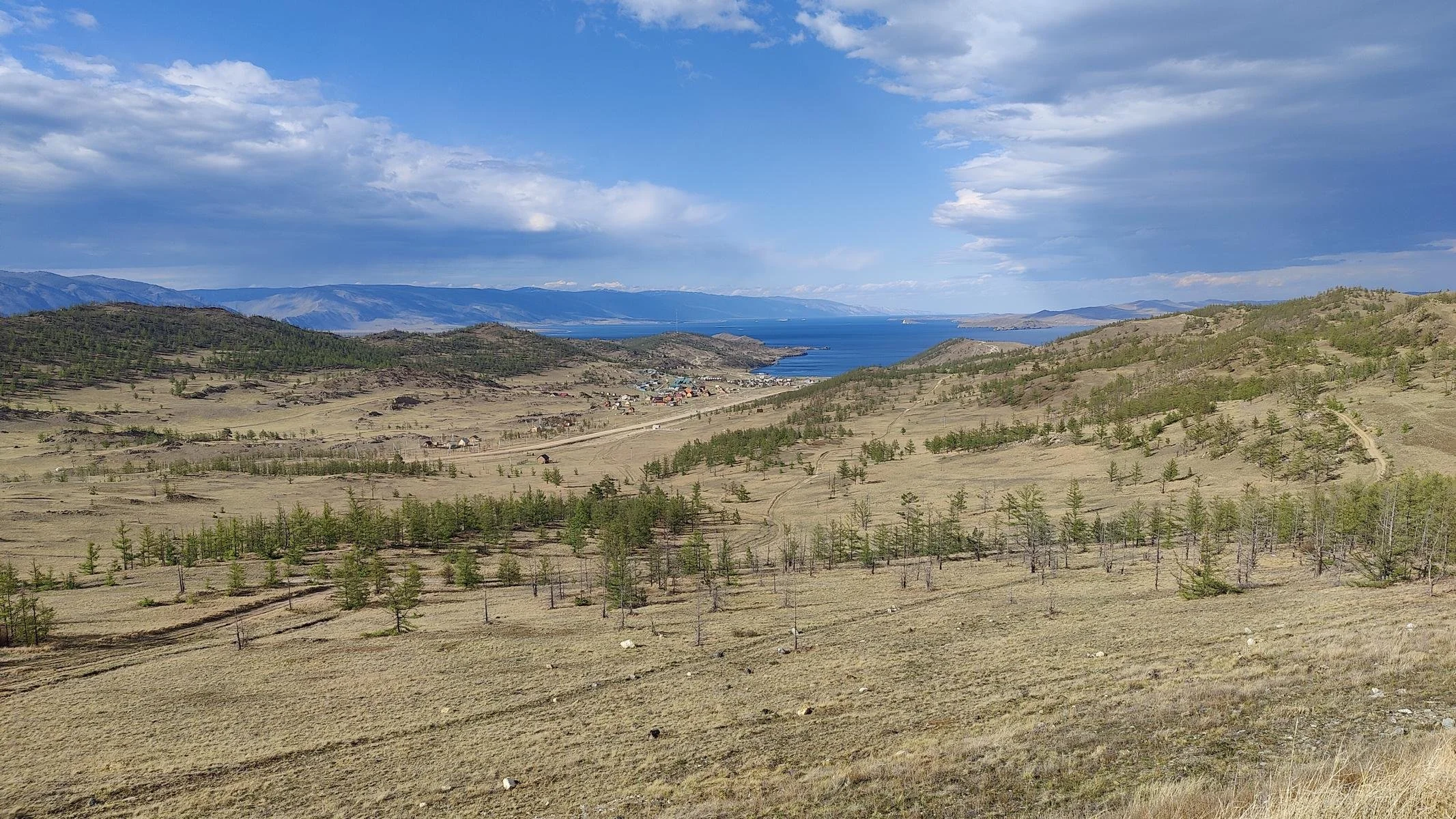
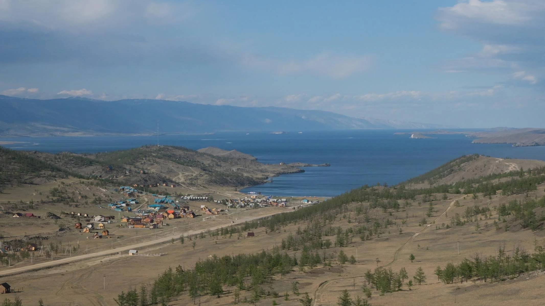
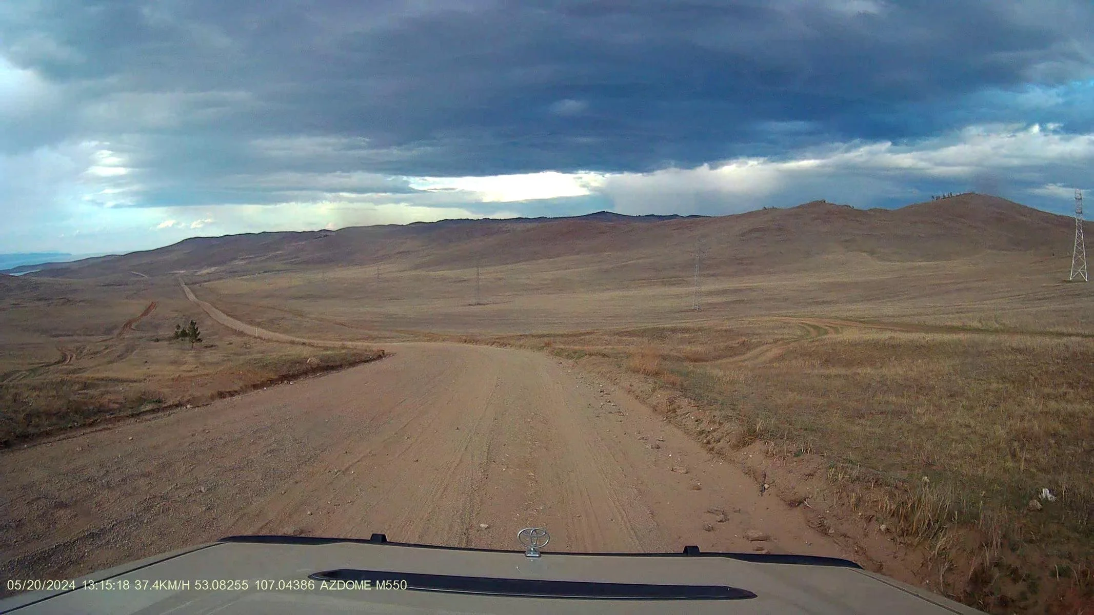
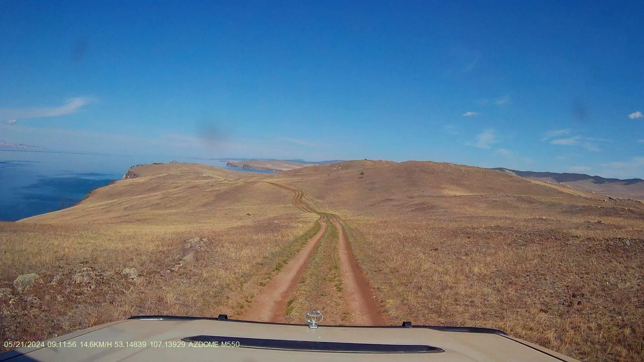
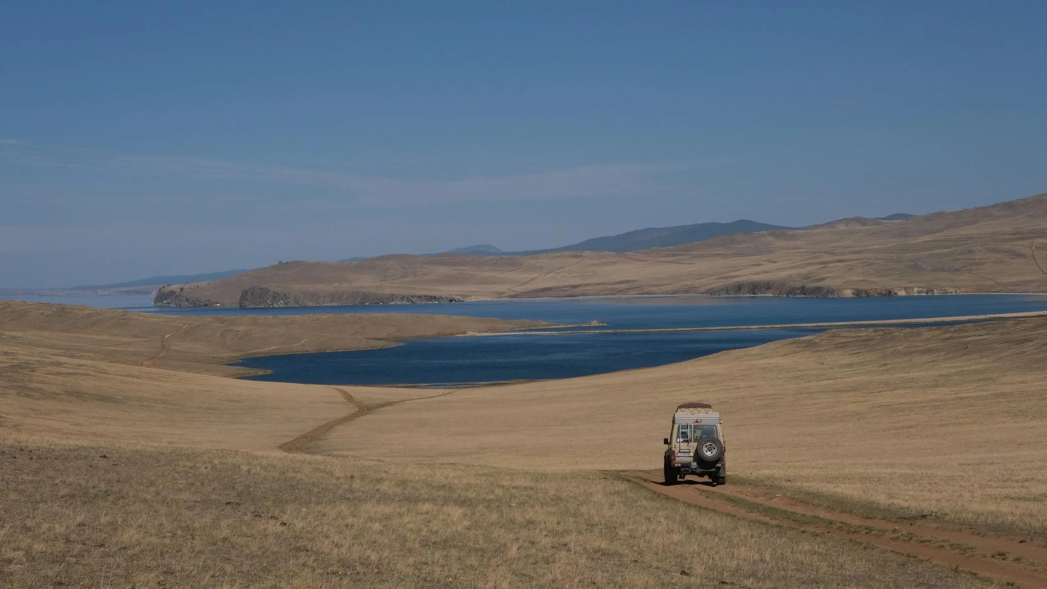
The closer we got to Lake Baikal, the more hilly the landscape became. At some places you can see the sloping layers of rock caused by geological folding. And then: the first view at Lake Baikal!
Je näher wir zum Baikalsee kamen, desto hügeliger wurde die Landschaft. Teilweise sieht man die schräggestellten Gesteins-Schichten, die von der geologischen Auffaltung herrühren. Und dann: Der erste Blick auf den Baikalsee!
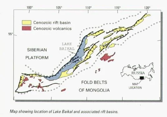
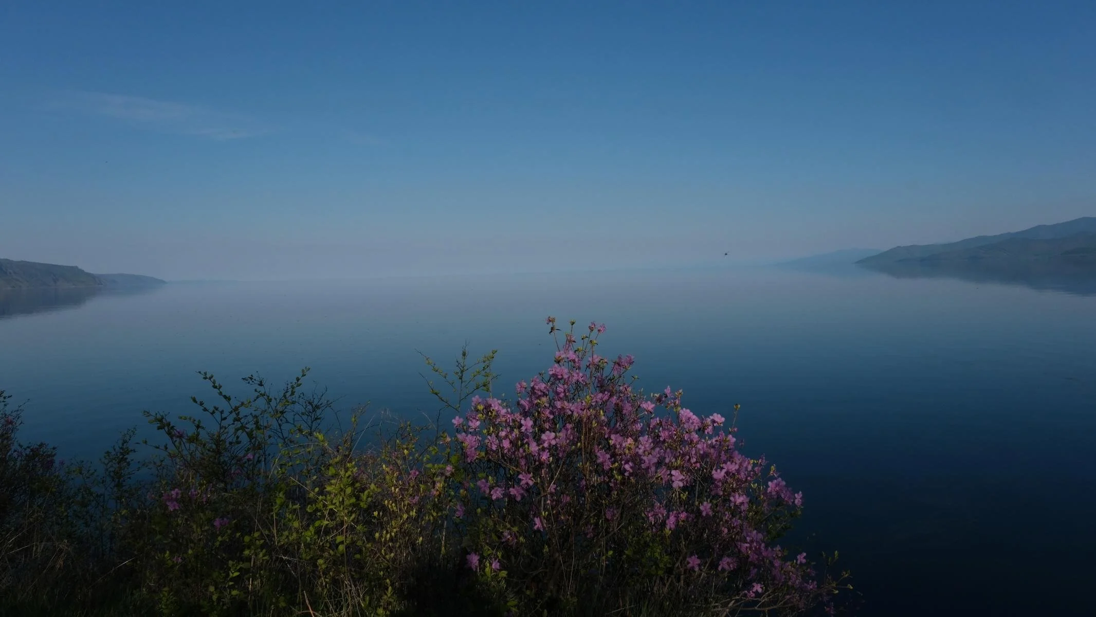
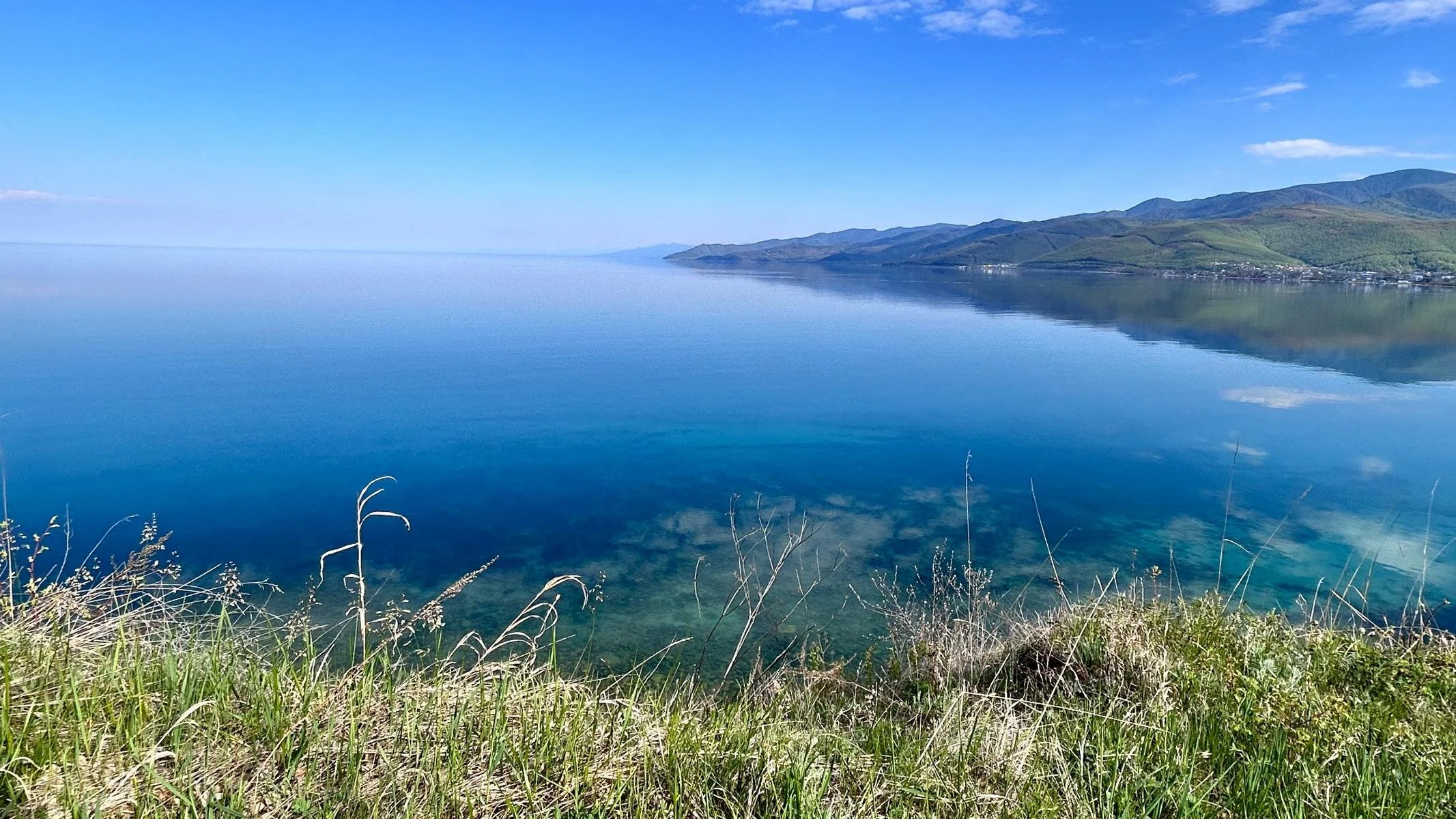
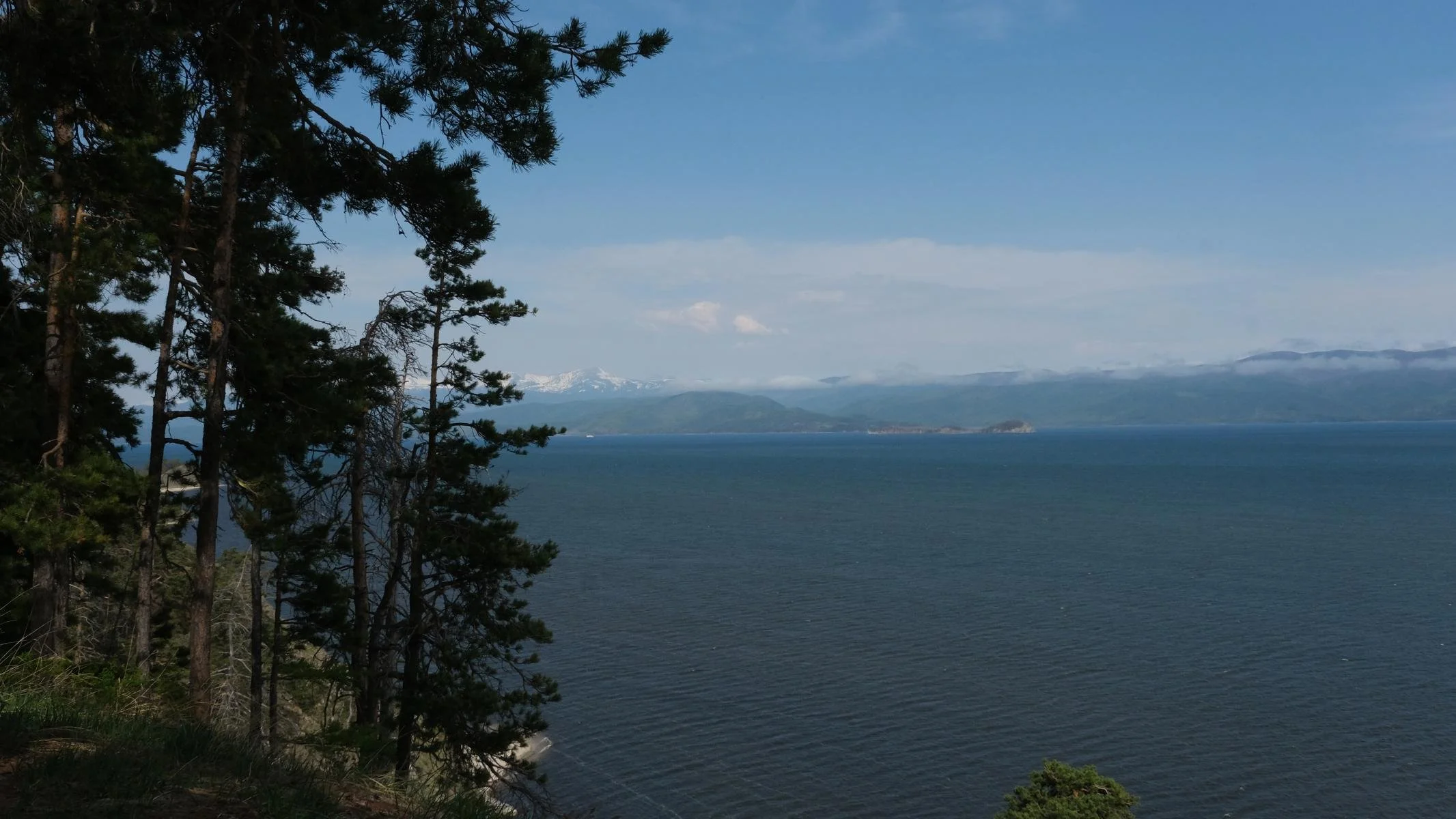
Lake Baikal (a UNESCO World Heritage Site) is located in the 1,600 km long Baikal Trench (Baikal Rift Zone) and is a lake of superlatives: it is the oldest and deepest lake on earth (25-30 million years old, 1,642 meters deep) and the largest freshwater lake in the world in terms of water volume. It contains around 22% of the world's liquid freshwater reserves. Lake Baikal has 300 tributaries and only one outflow (the Angara near Irkutsk). The water surface is at 455 meters above sea level. Its length is 636 km / 395 mi, the maximum width 79 km / 49 mi. In terms of latitude, it is approximately at the same level as Denmark. However, due to the continental climate, it is frozen over for four to five months of the year with a layer of ice more than a meter thick. It is then possible to drive across the lake by car. Due to the purity of the water, visibility is up to 40 meters.
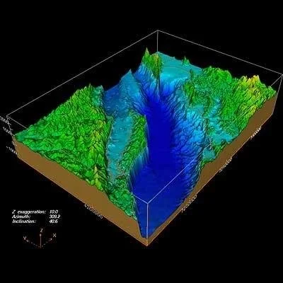
Lake Baikal is the result of plate tectonics. The Indian subcontinent pushing under the Eurasian plate has not only created the Himalayas and the Tibetan plateau, but has also caused a deep rift valley further north, through which the Eurasian plate and the Amur plate are drifting apart and a new ocean will form in a few million years. The two shores are moving two centimeters further apart every year. Without the sedimentary rock brought in by the rivers, Lake Baikal would actually be around 8,000 meters deep, as the third photo shows. The surrounding mountains are up to 3,000 meters high.
The microclimate created by Lake Baikal is home to many endemic plants and animals that can only be found here. The omul, a white fish that is offered at many markets, is well known. The Baikal seal is the only seal species that lives exclusively in fresh water.
Der Baikalsee (ein UNESCO-Weltnaturerbe) liegt im 1.600 km langen Baikalgraben (Baikal-Rift Zone) und ist ein See der Superlativen: Er ist der älteste und tiefste See der Erde (25-30 Millionen Jahr alt, 1.642 m tief) und gemessen am Wasservolumen der größte Süßwassersee der Welt. Er enthält zirka 22 % der flüssigen Süßwasservorräte der Erde. Der Baikalsee hat 300 Zuflüsse und nur einen Abfluss (die Angara bei Irkutsk). Die Wasser Oberfläche befindet sich auf 455 m Meereshöhe. Seine Längenausdehnung beträgt 636 km / 395 mi, die maximale Breite 79 km 49 mi. Der geographischen Breite nach befindet er sich etwa auf der Höhe von Dänemark. Wegen des kontinentalen Klimas ist er dennoch vier bis fünf Monate im Jahr mit einer mehr als einen Meter dicken Eisdecke zugefroren. Dann kann man mit dem Auto quer über den See fahren. Wegen der Reinheit des Wassers beträgt die Sicht bis zu 40 m.
Der Baikal-See ist ein Ergebnis der Plattentektonik. Der indische Subkontinent, der sich unter die Eurasische Platte schiebt, hat nicht nur den Himalaya und das Tibetische Hochplateau geschaffen, sondern bewirkte weiter im Norden einen tiefen Grabenbruch, durch den die Eurasische Platte und die Amur Platte auseinanderdriften und in einigen Millionen Jahren ein neues Meer entstehen wird. Die beiden Ufer rücken jedes Jahr um zwei Zentimeter weiter auseinander. Ohne das durch die Flüsse herangeführte Sedimentgestein wäre der Baikalsee – wie das dritte Foto zeigt - eigentlich rund 8.000 m tief. Die umliegenden Berge sind bis zu 3.000 m hoch.
In dem vom Baikal See geschaffenen Microklima gibt es viele endemische Pflanzen und Tiere, die nur hier vorkommen. Bekannt ist der Omul, ein Weißfisch, der auf vielen Märkten angeboten wird. Die Baikal Robbe ist die einzige Robbenart, die ausschließlich im Süßwasser lebt.
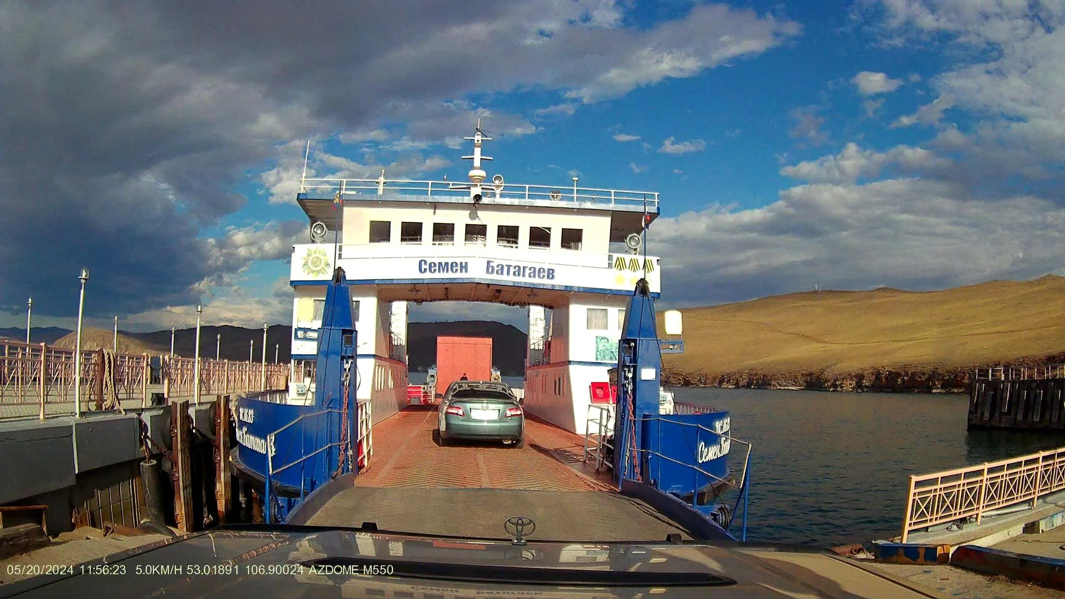
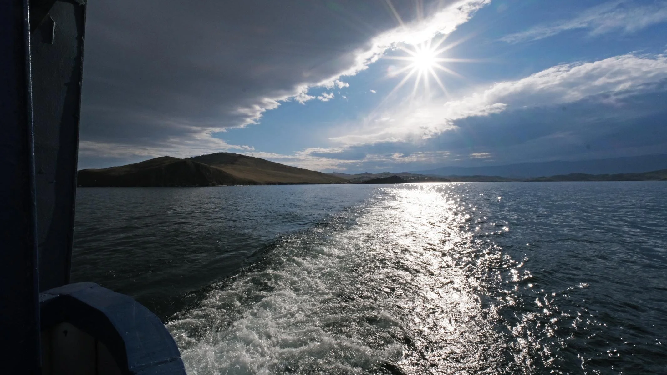
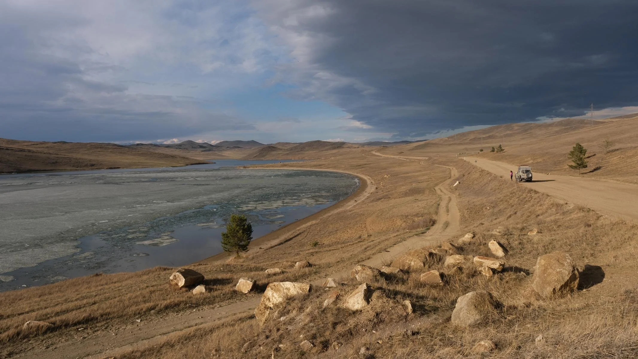
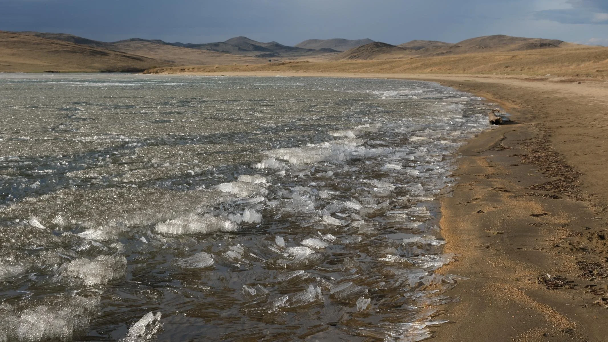
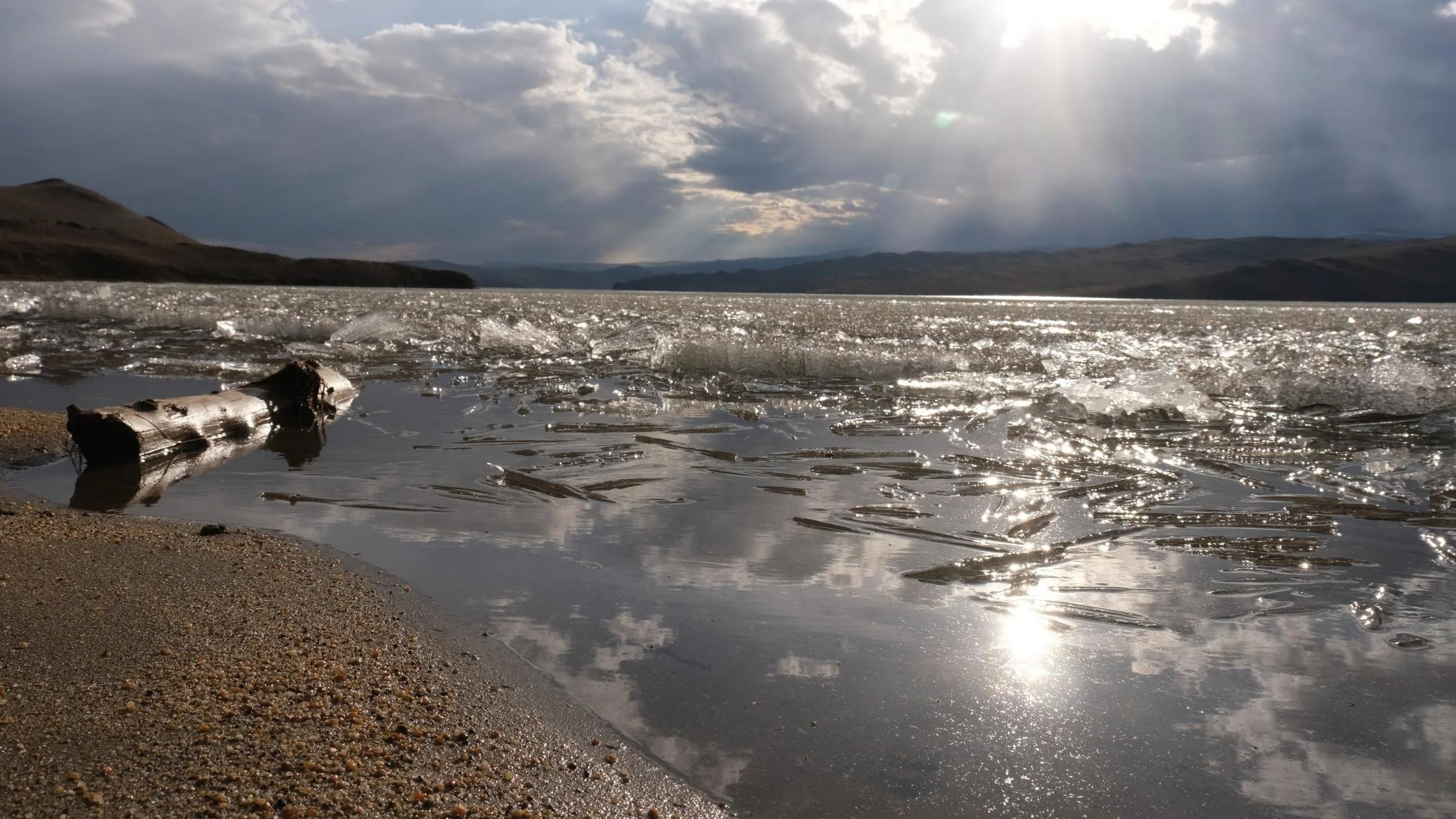
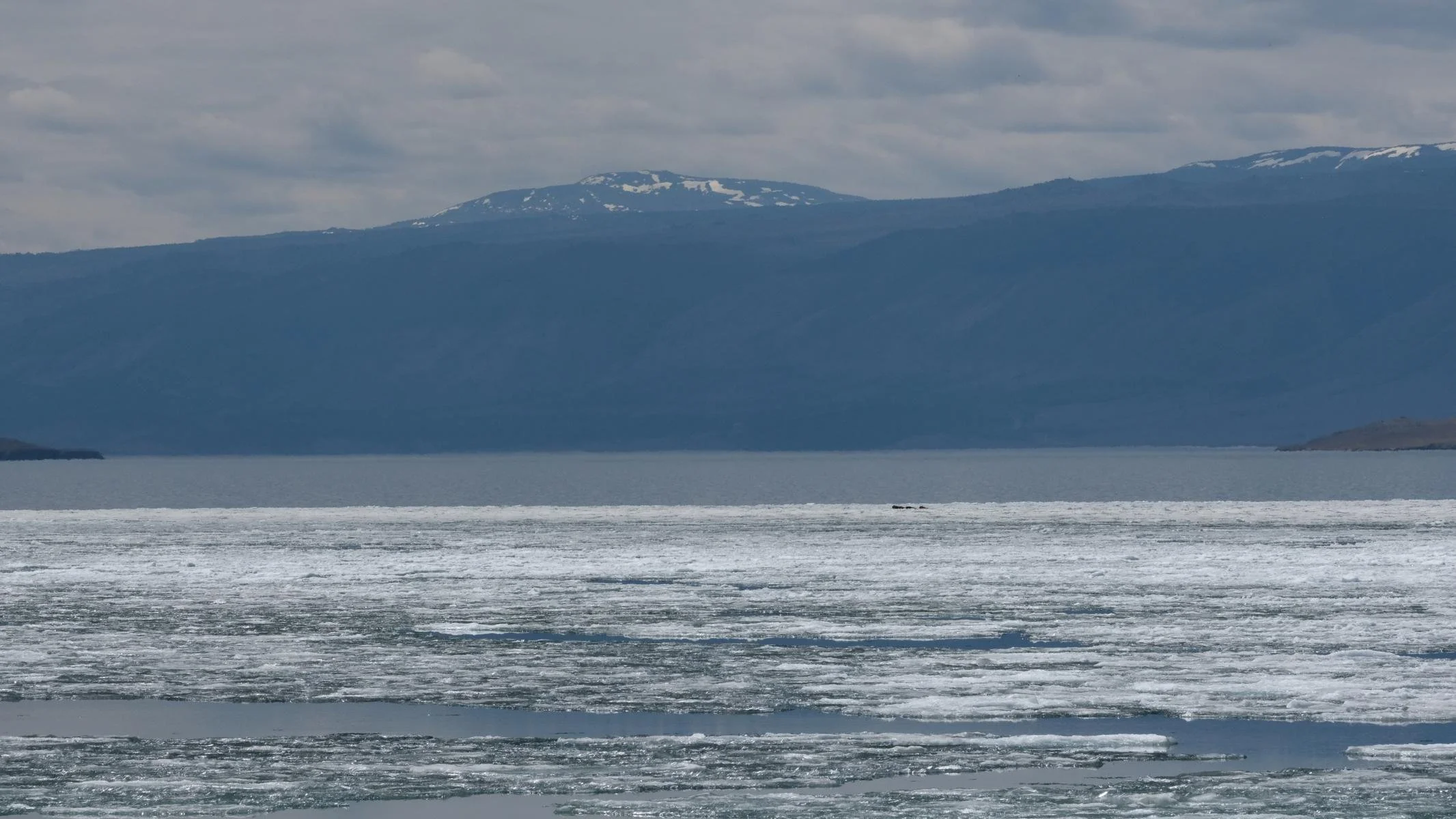
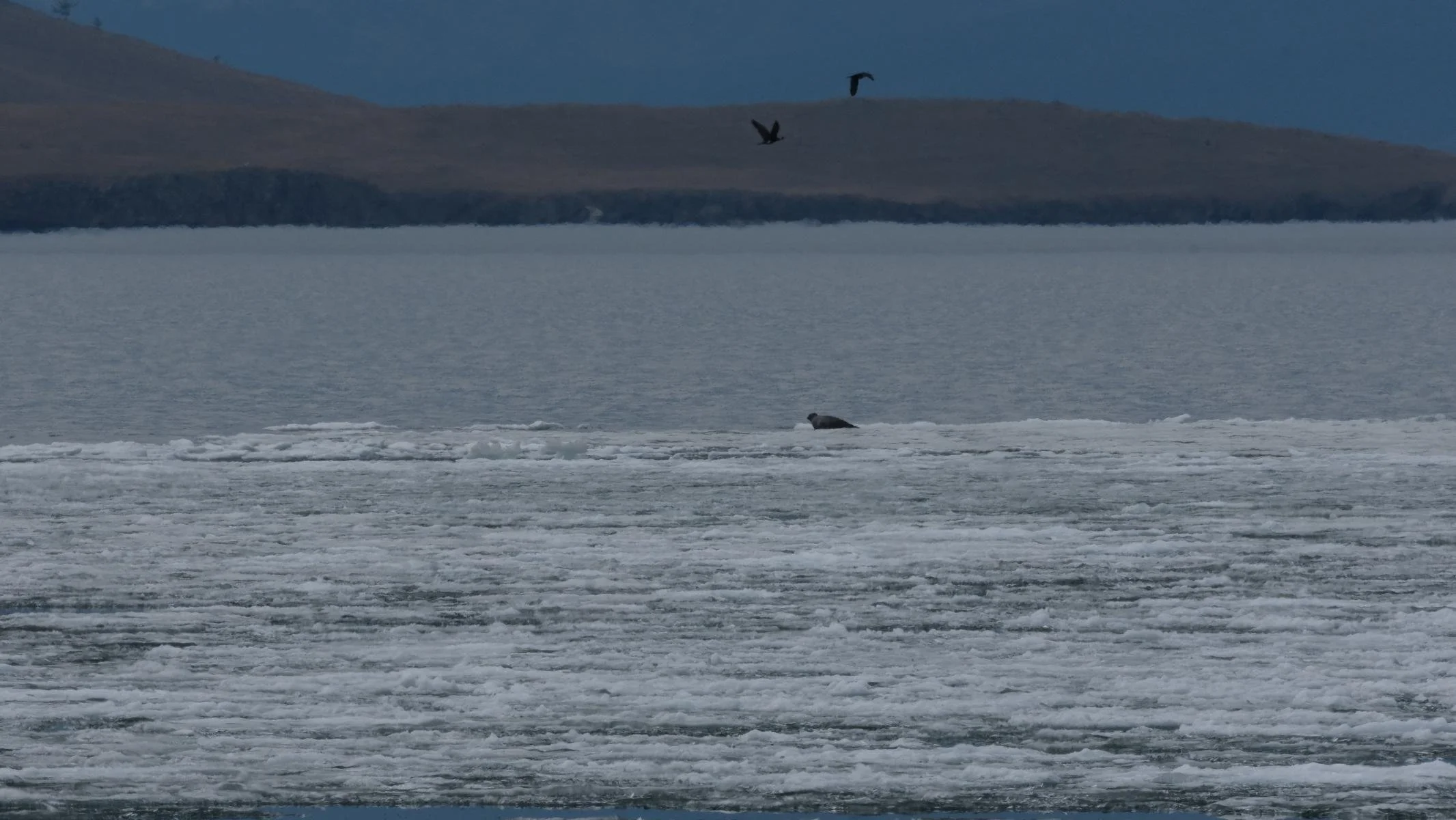
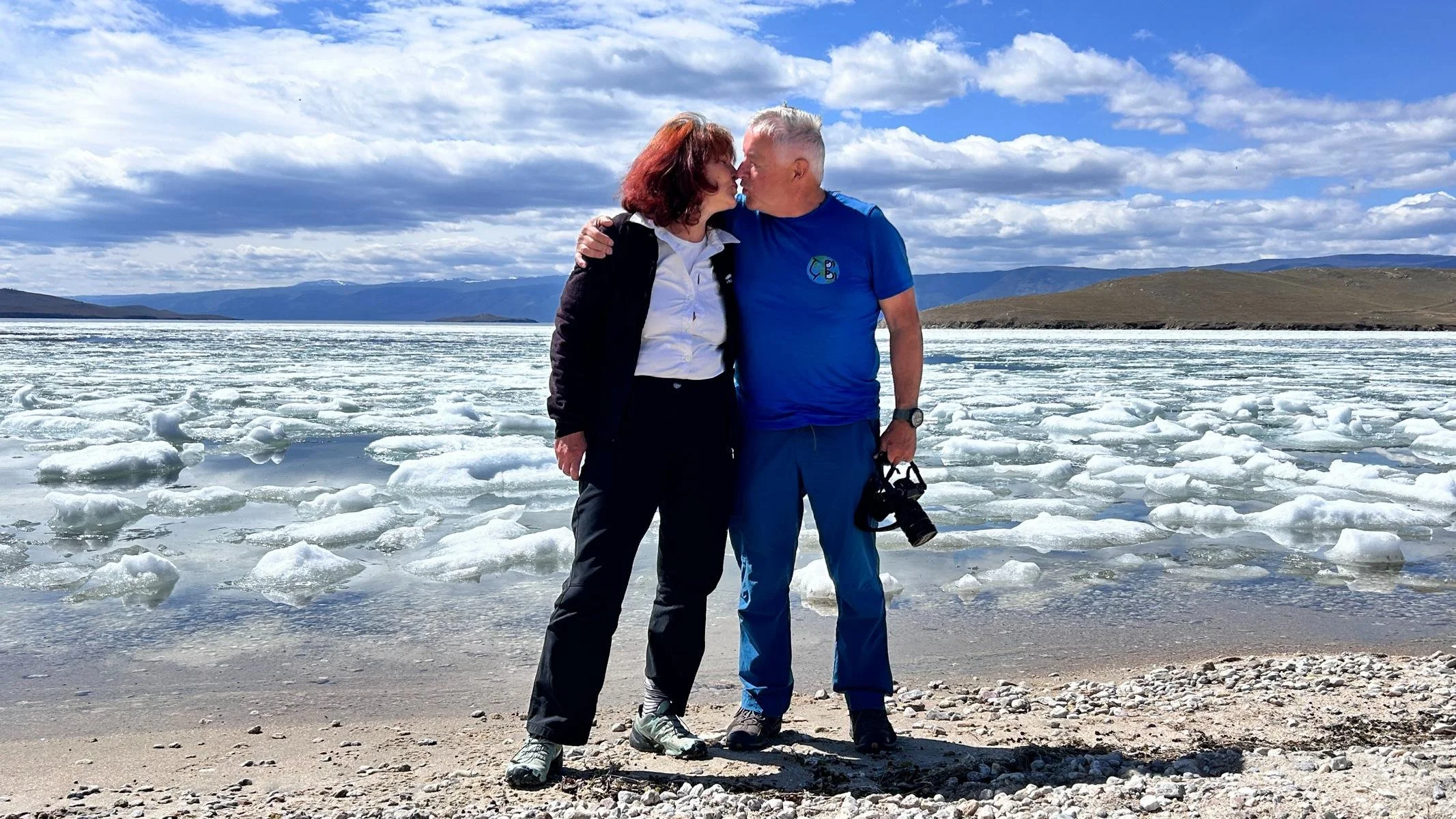
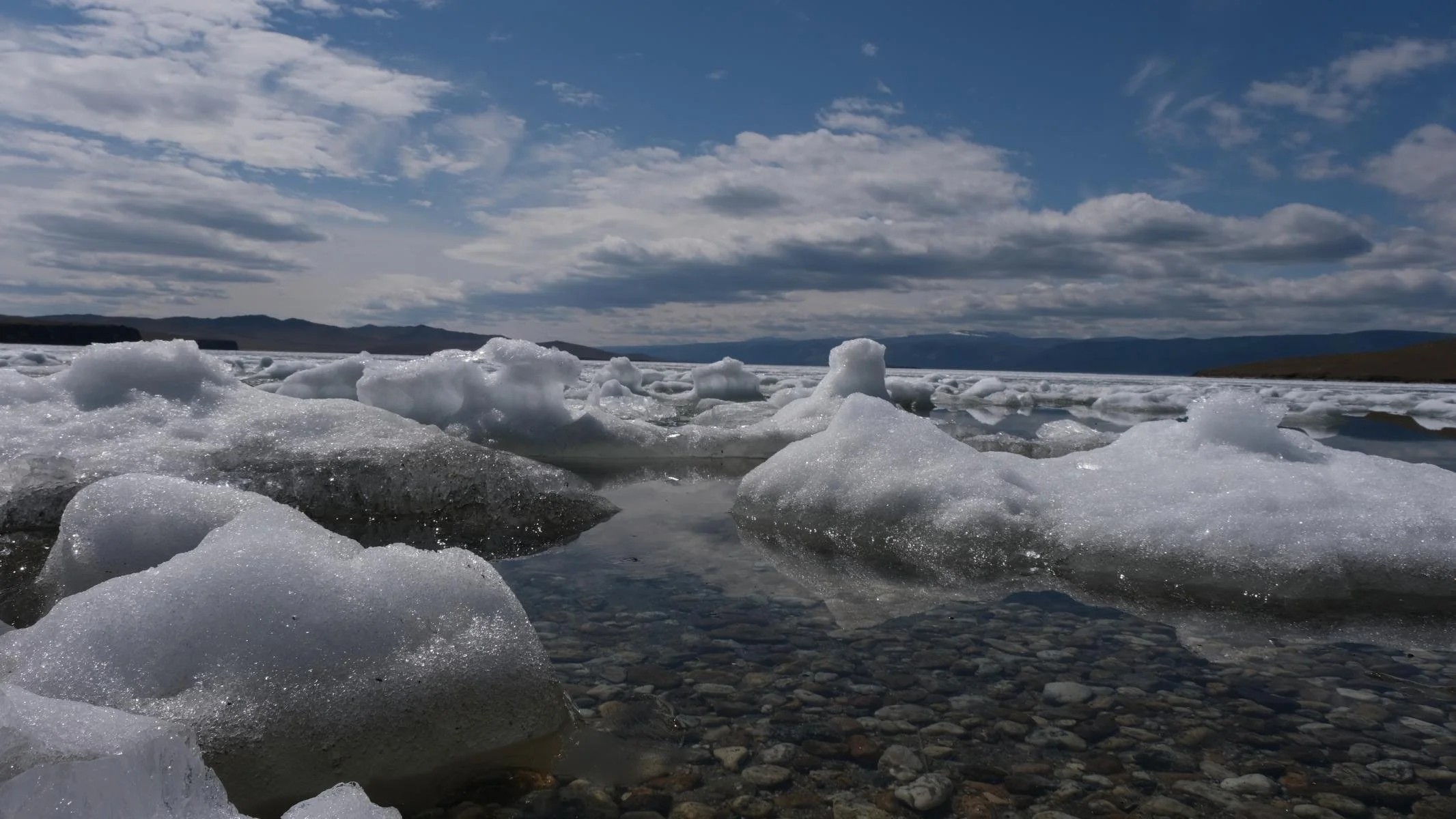
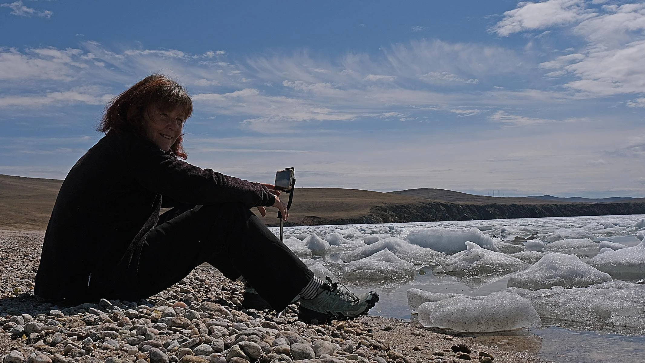
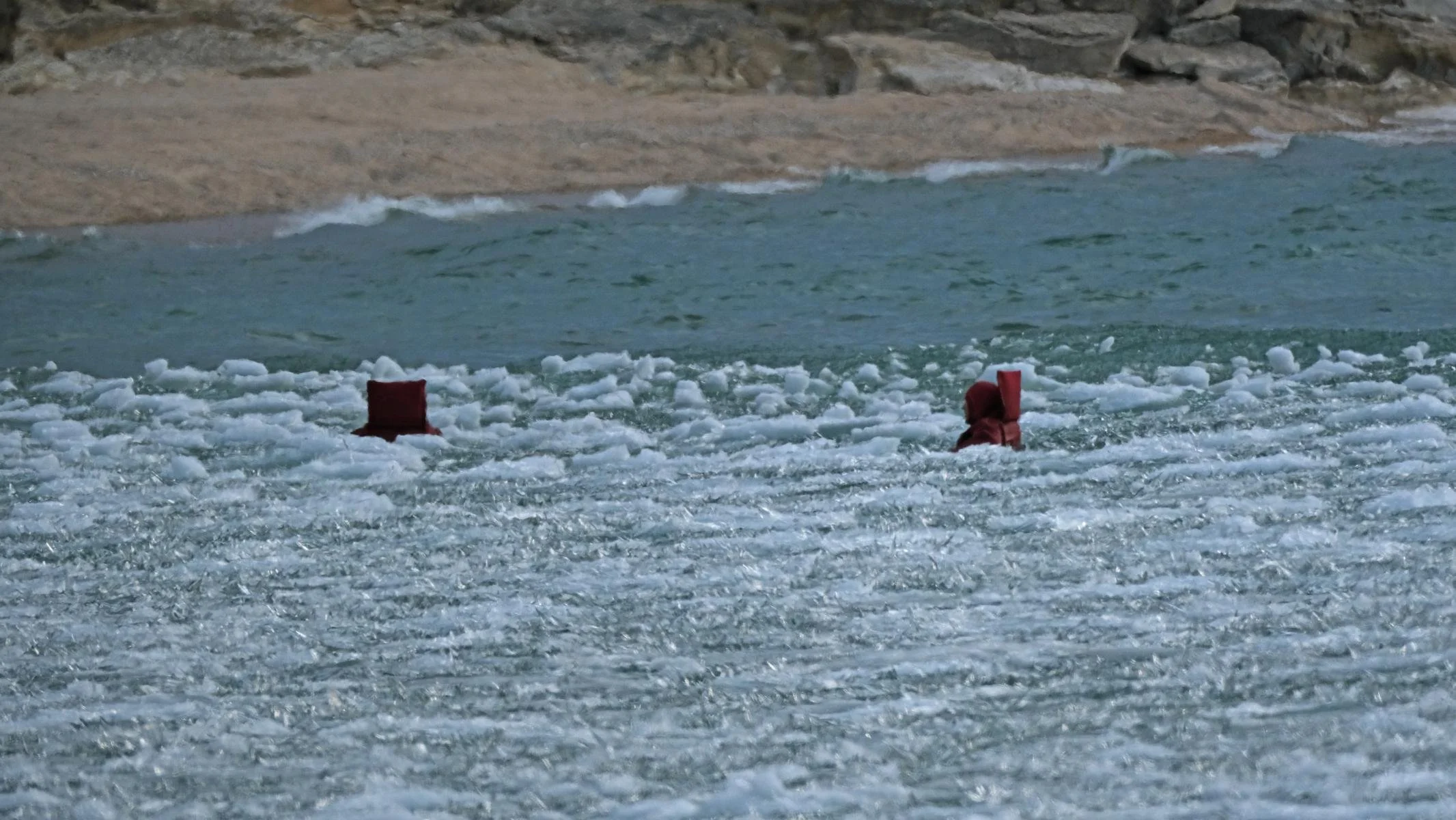
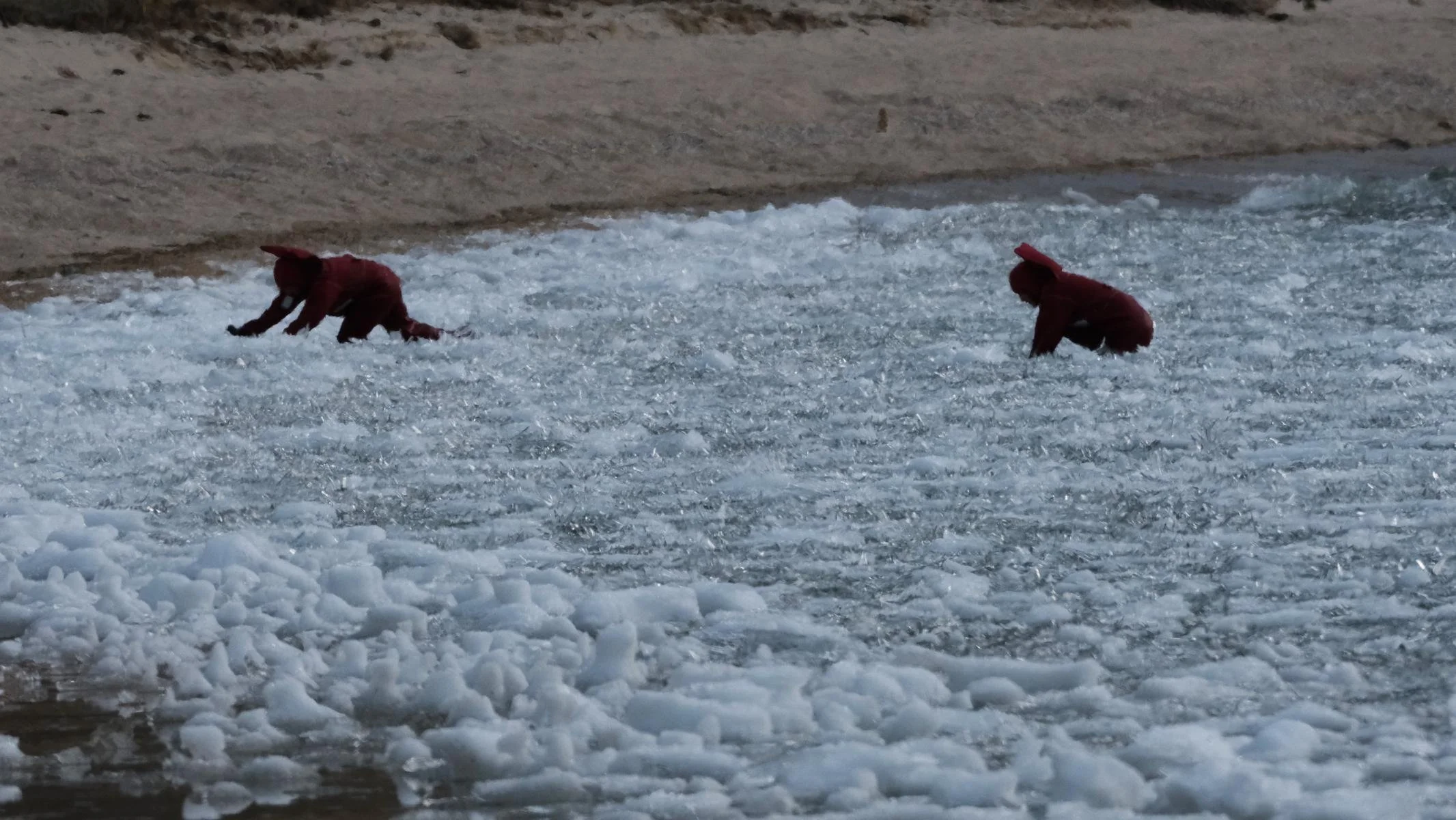
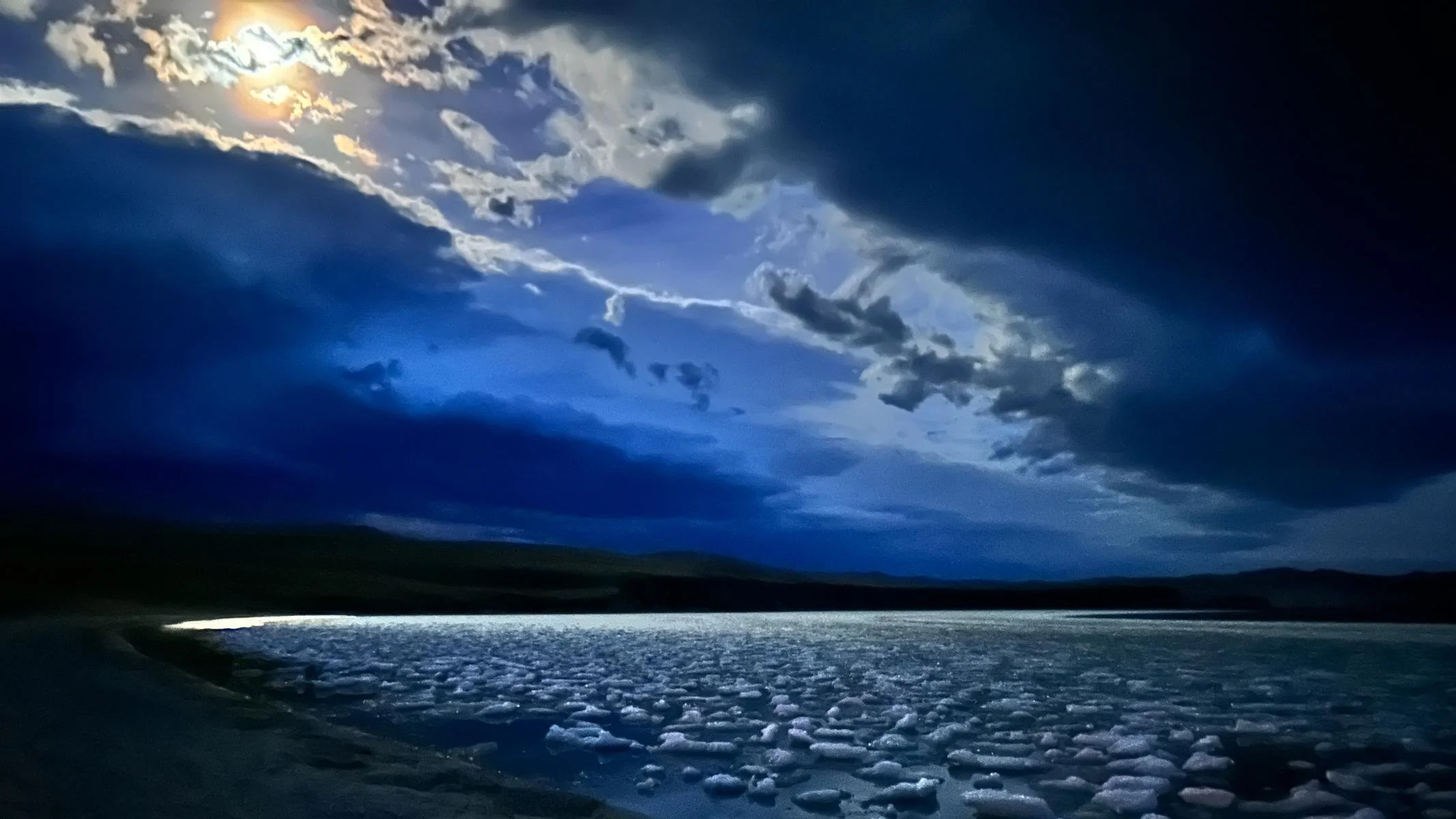
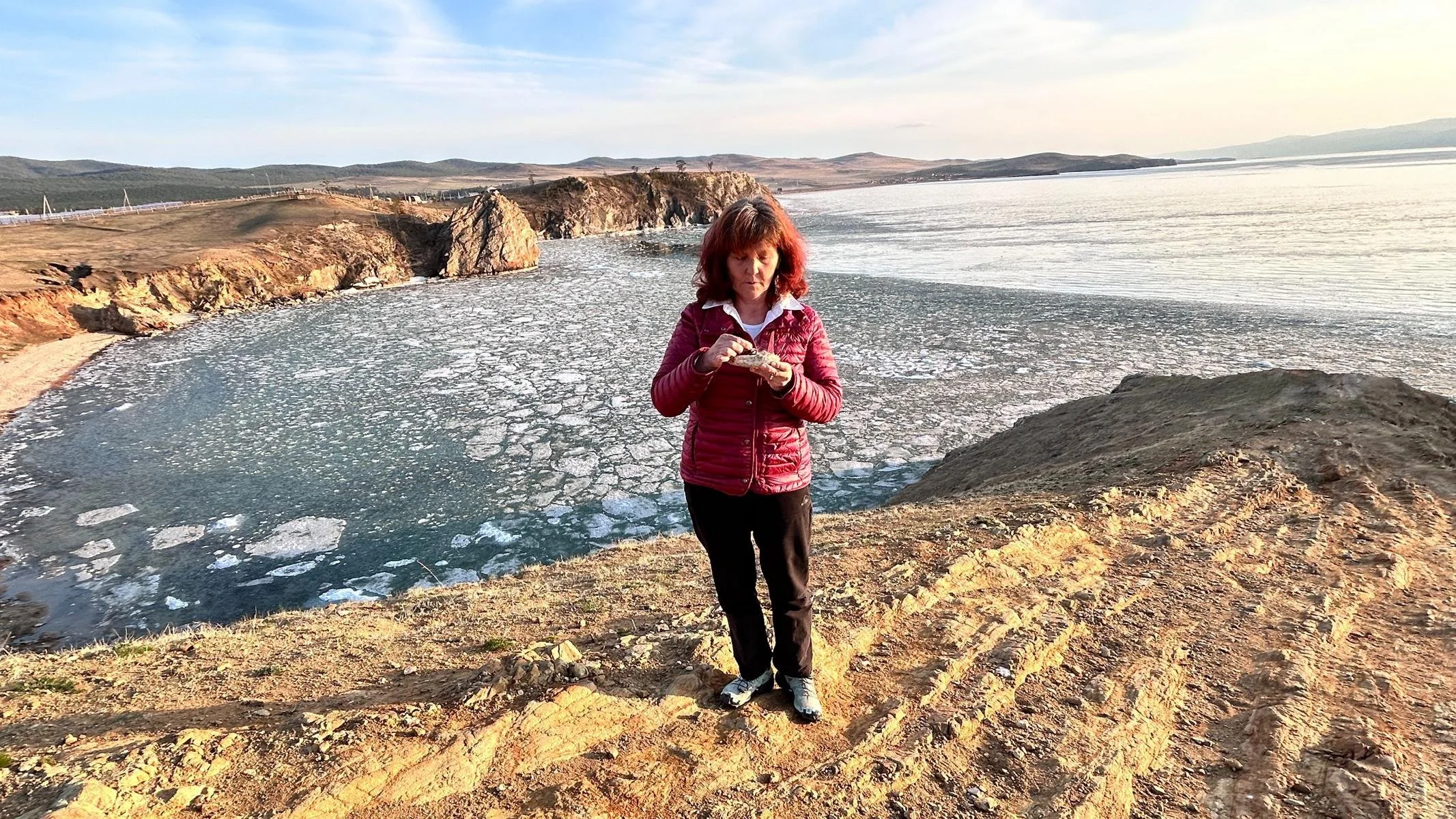
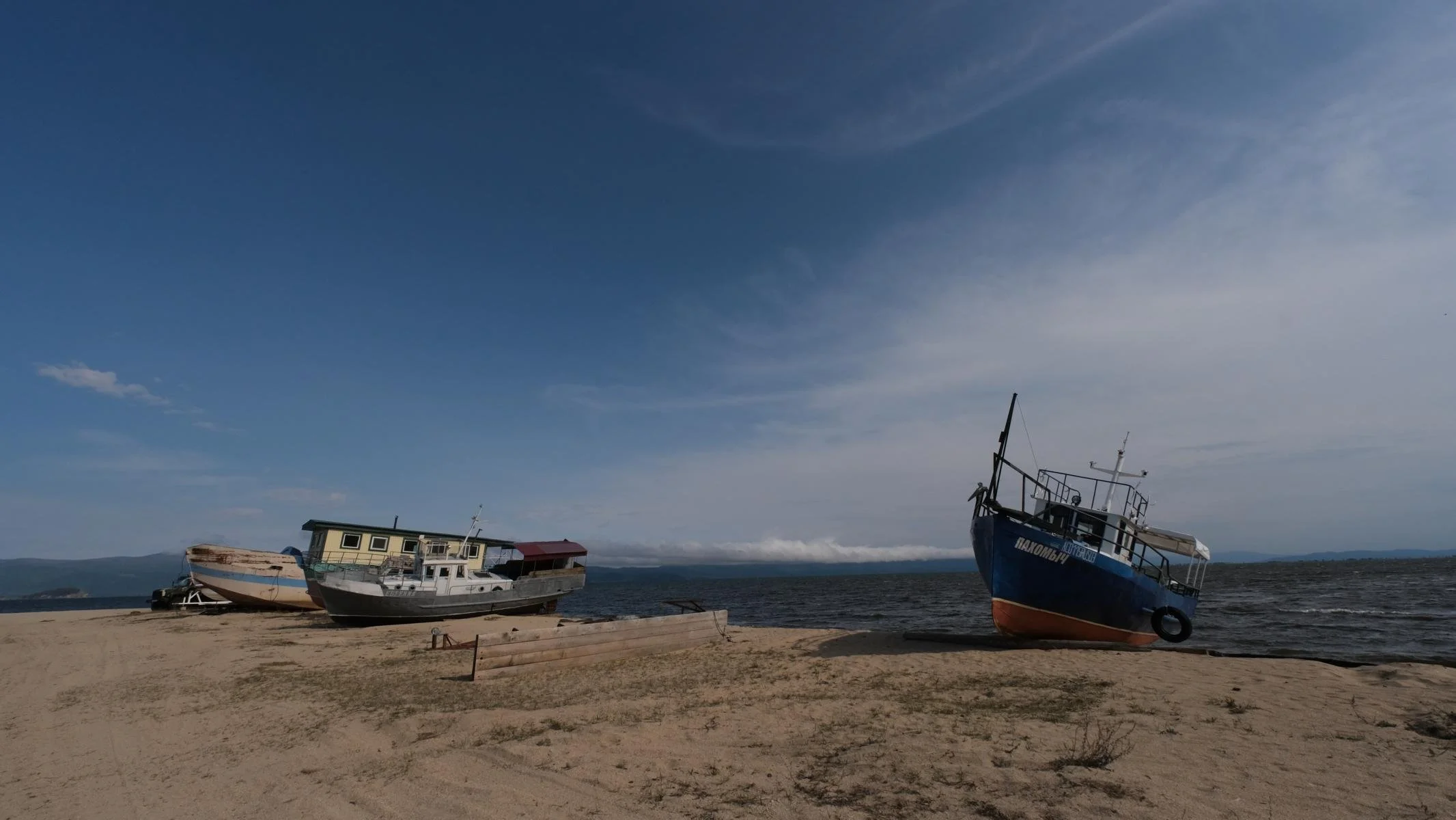
We took the free ferry across to Olkhon Island. The island is 72 km (44.7 mi) long and 21 km (13 mi) wide. The 1,750 inhabitants live from farming, fishing and summer/winter tourism. Although it was mid-May, we encountered drift ice in the first bay. Moved against each other by the wind and waves, the small ice floes made a strange cracking and crackling sound. At one point we were lucky and saw some seals in the distance using the ice for mating. At another point, we were amazed to see two men working their way out of the ice. It turned out that they were ice swimmers. They were wearing special wetsuits to keep them dry and thick warm clothing underneath for thermal protection. They offered us their equipment, but we declined with thanks. It was a special atmosphere to spend the night so close to the ice.
Mit der kostenlosen Fähre setzten wir auf die Insel Olchon über. Die Insel ist 72 km (44.7 mi) lang und 21 km (13 mi) breit. Die 1.750 Einwohner*innen leben von der Landwirtschaft, dem Fischfang und vom Sommer-/Winter-Tourismus. Obwohl wir Mitte Mai hatten trafen wir bereits in der ersten Bucht auf Treibeis. Durch Wind und Wellen gegen einander bewegt erzeugten die kleinen Eisschollen ein eigenartig-knackendes und knisterndes Geräusch. Einmal hatten wir Glück und sahen in der Ferne einige Robben, die das Eis zur Paarung nutzten. An einer anderen Stelle beobachteten wir zu unserem Staunen, wie zwei sich zwei Männer aus den Eis herausarbeiteten. Es stellte sich heraus, das es Eisschwimmer sind. Sie trugen spezielle Neoprenanzüge, die sie trocken halten und darunter dicke warme Kleidung für den Wärmeschutz. Sie boten uns ihre Ausrüstung an, was wir aber dankend ablehnten. Es war eine besondere Atmosphäre so nah am Eis zu übernachten.
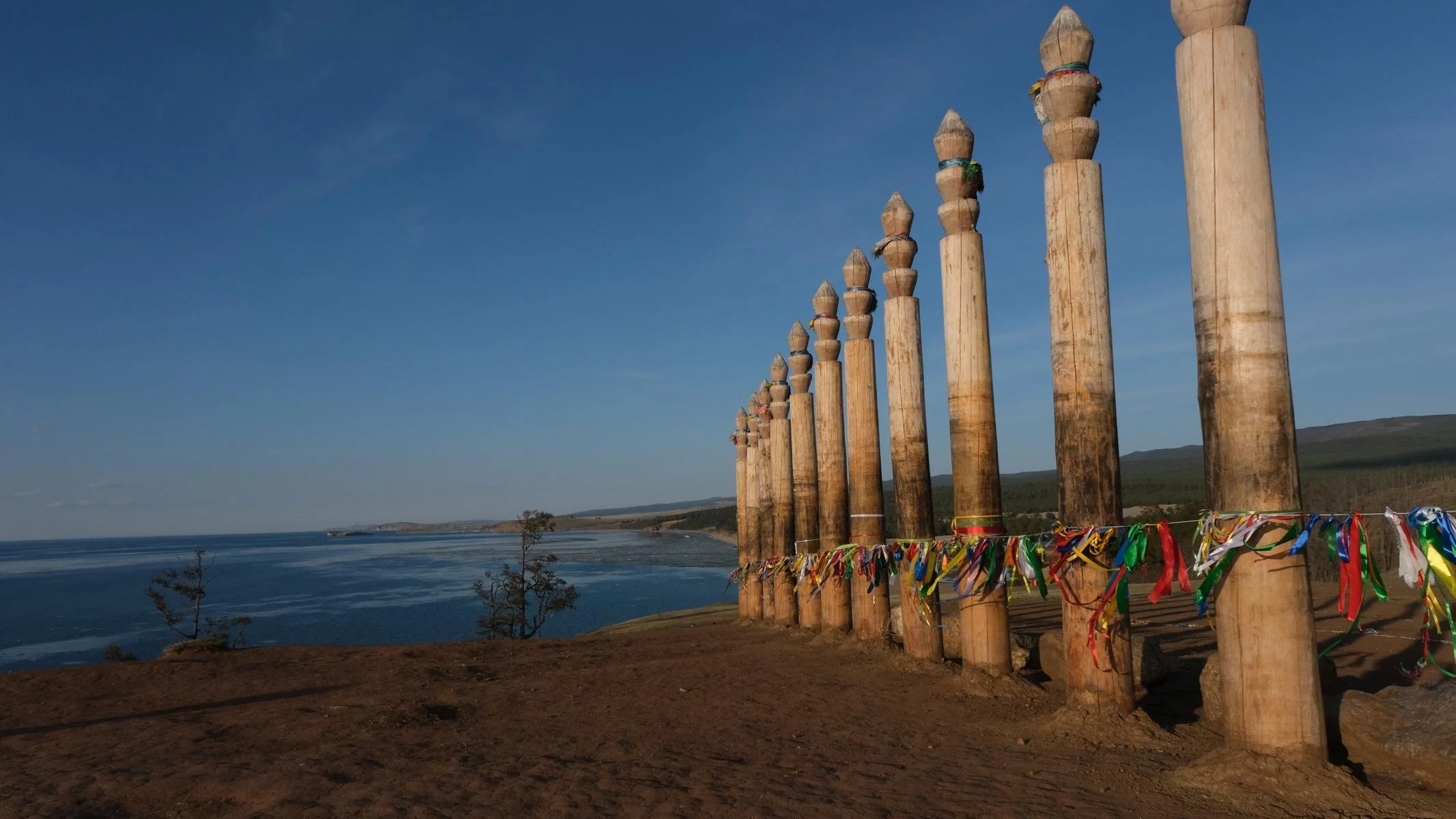
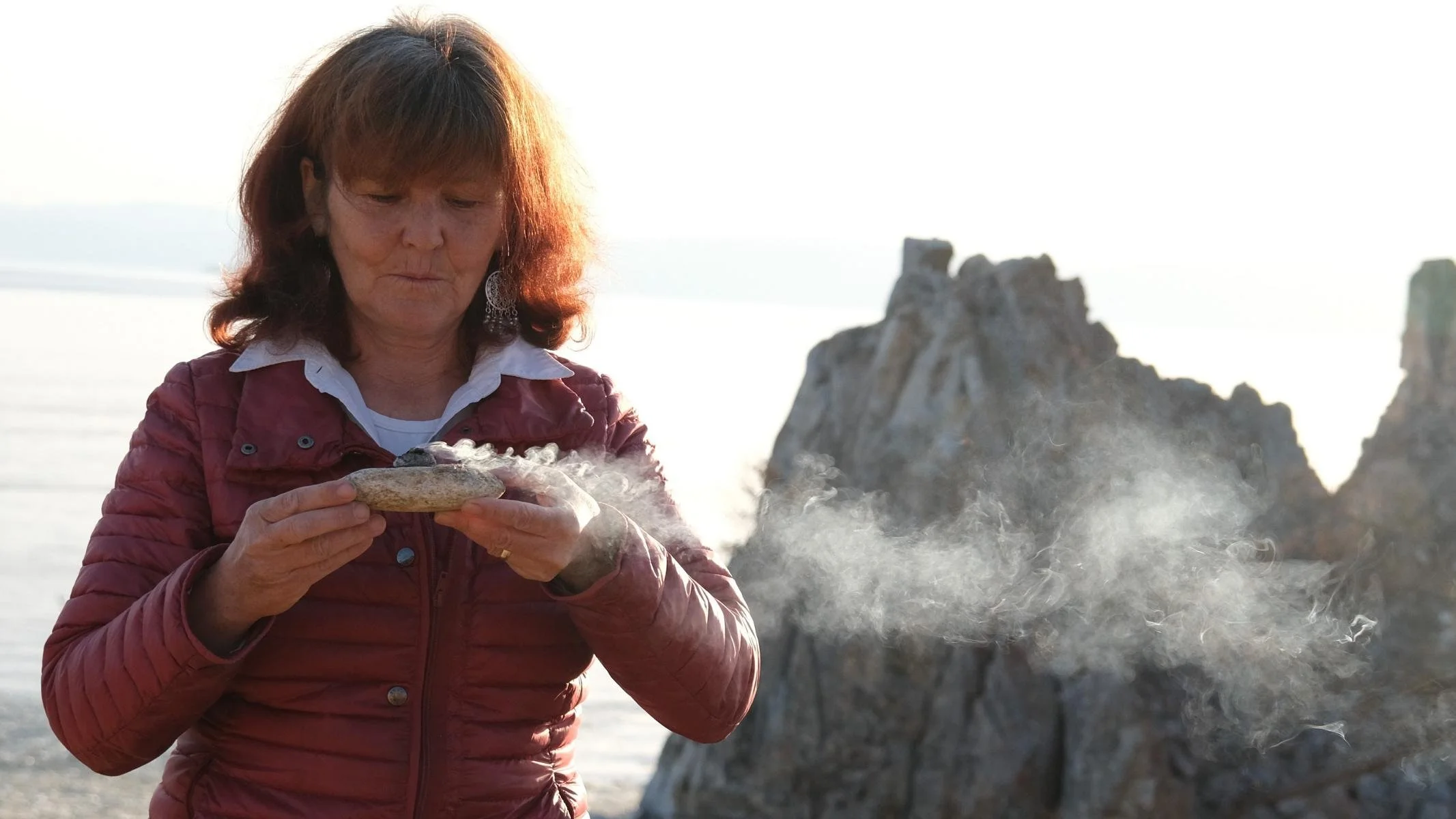
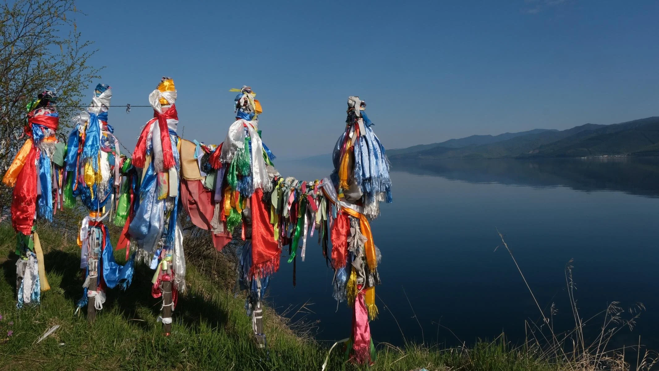
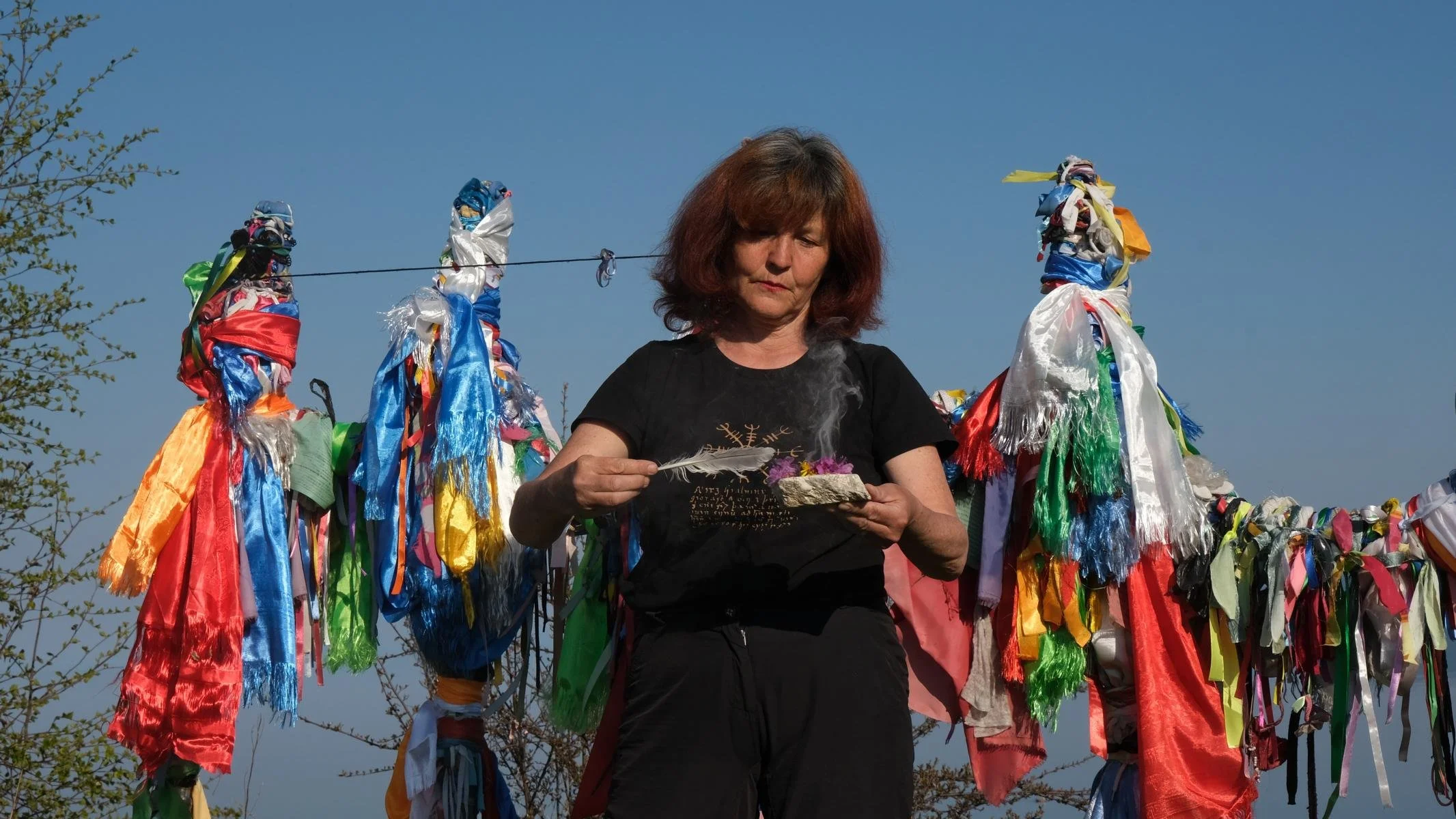
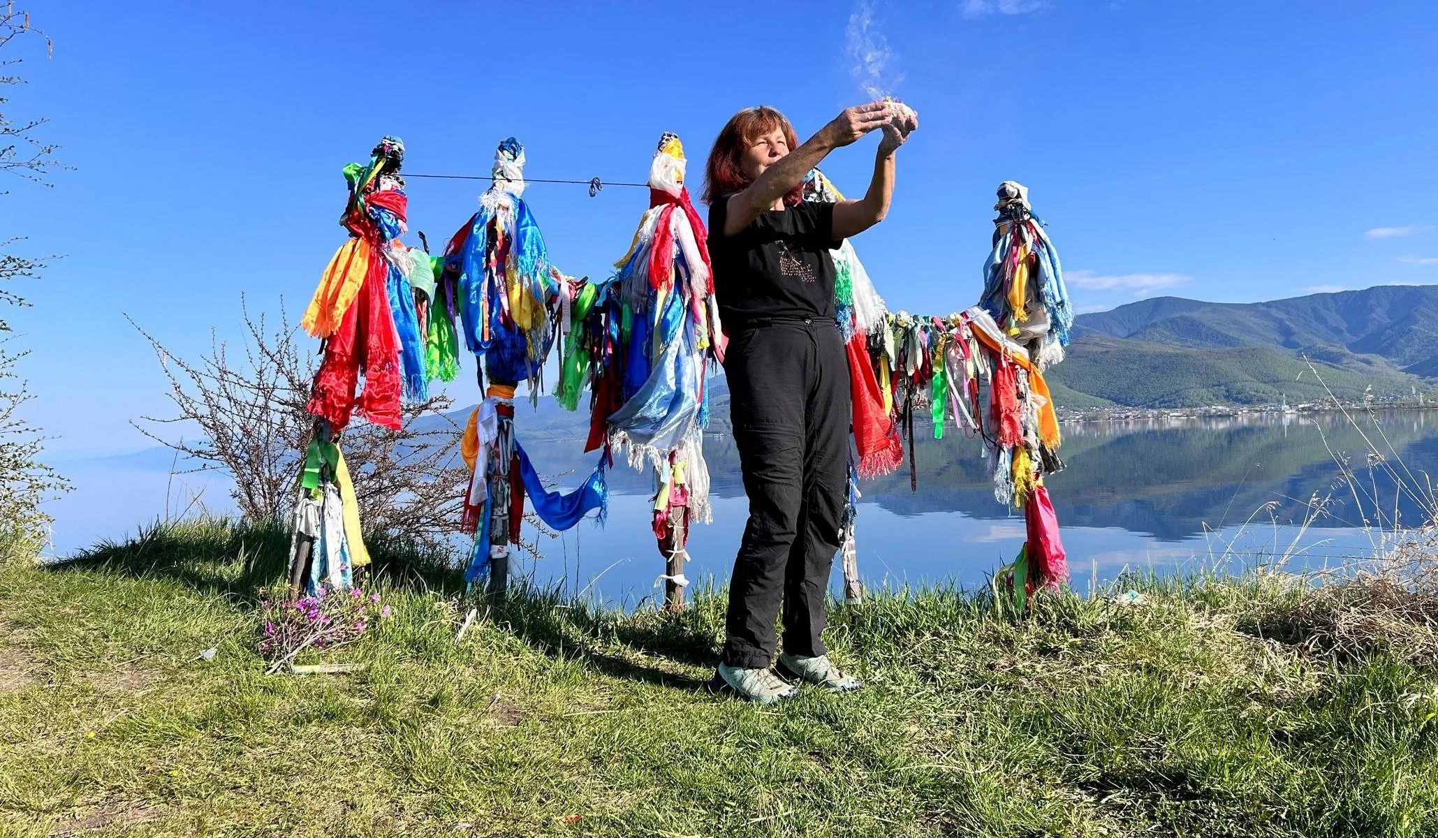
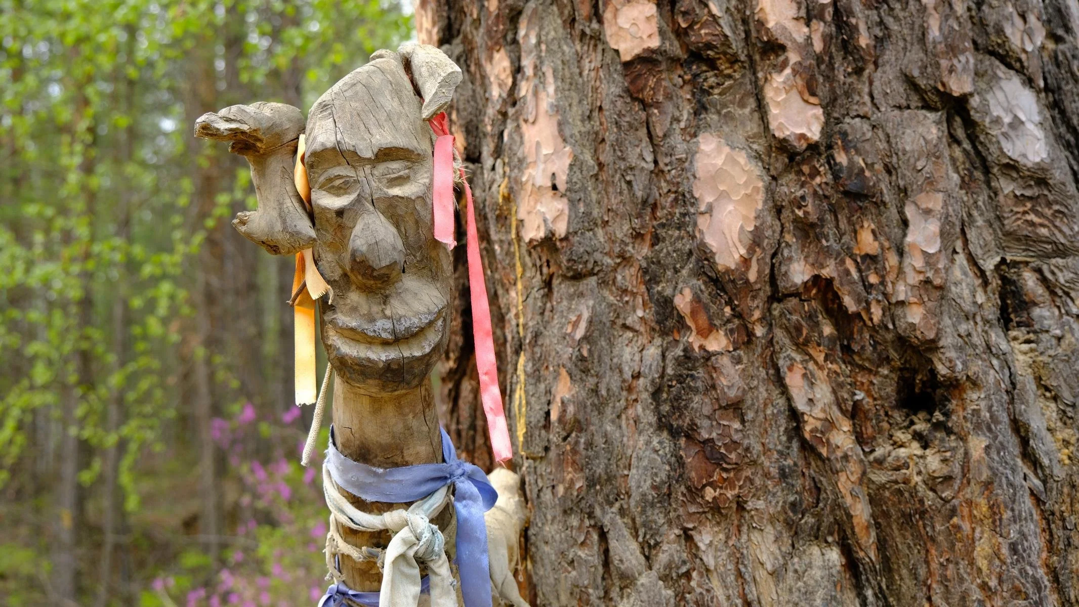
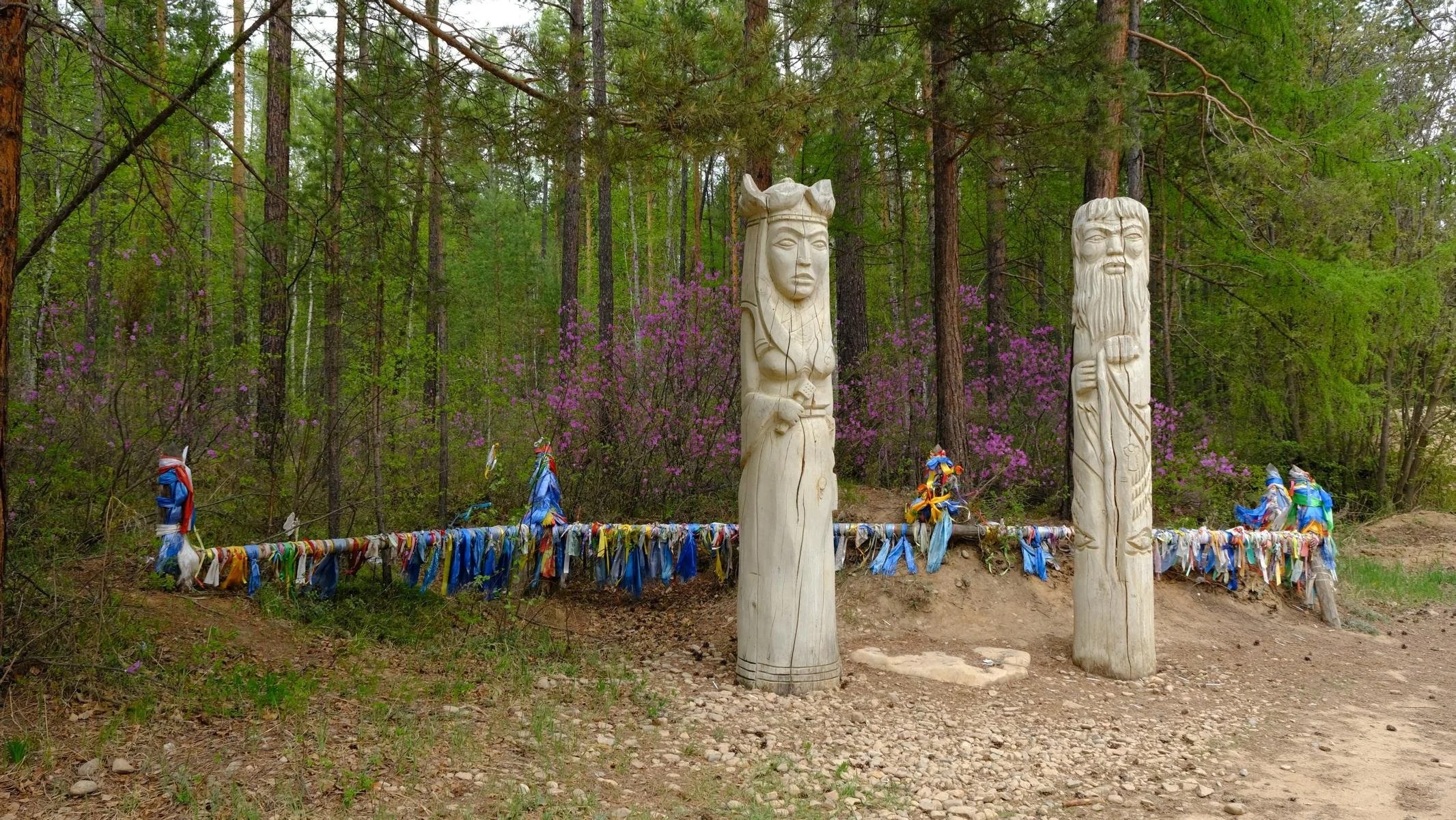
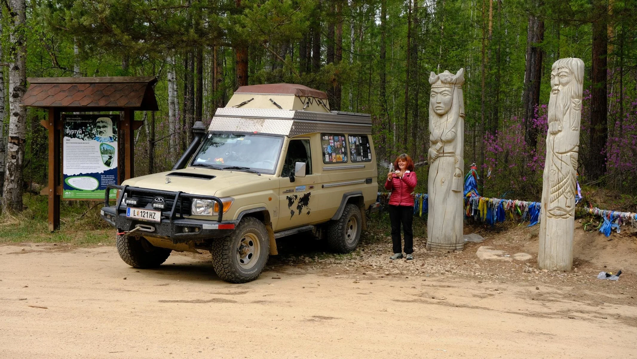
The next day, we drove along the coast past a cult site made of stone pyramids to Chuzir, the capital of the island. There is a striking rock formation called ‘Shaman Rock’. Several times a year, the Buryat shamans of Lake Baikal gather here to hold their ceremonies. Ursula used this ‘place of power’ for an incense ritual. Since it was a few weeks before the summer tourist season, we had the coves to ourselves for several days.
Am nächsten Tag fuhren wir entlang der Küste vorbei an einer Kultstelle aus Steinpyramiden nach Chuzir, der Hauptstadt der Insel. Dort befindet sich eine markanter Felsformation, die „Schamanen-Fels“ genannt wird. Mehrmals im Jahr versammeln sich an dieser Stelle die Burjaten-Schamanen des Baikalsees, um ihre Zeremonien abzuhalten. Ursula nützten diesen „Kraft-Platz“ für ein Räucherritual. Da es einige Wochen vor Beginn der Sommer-Urlaubssaison war, hatten wir mehrere Tage die Buchten für uns alleine.
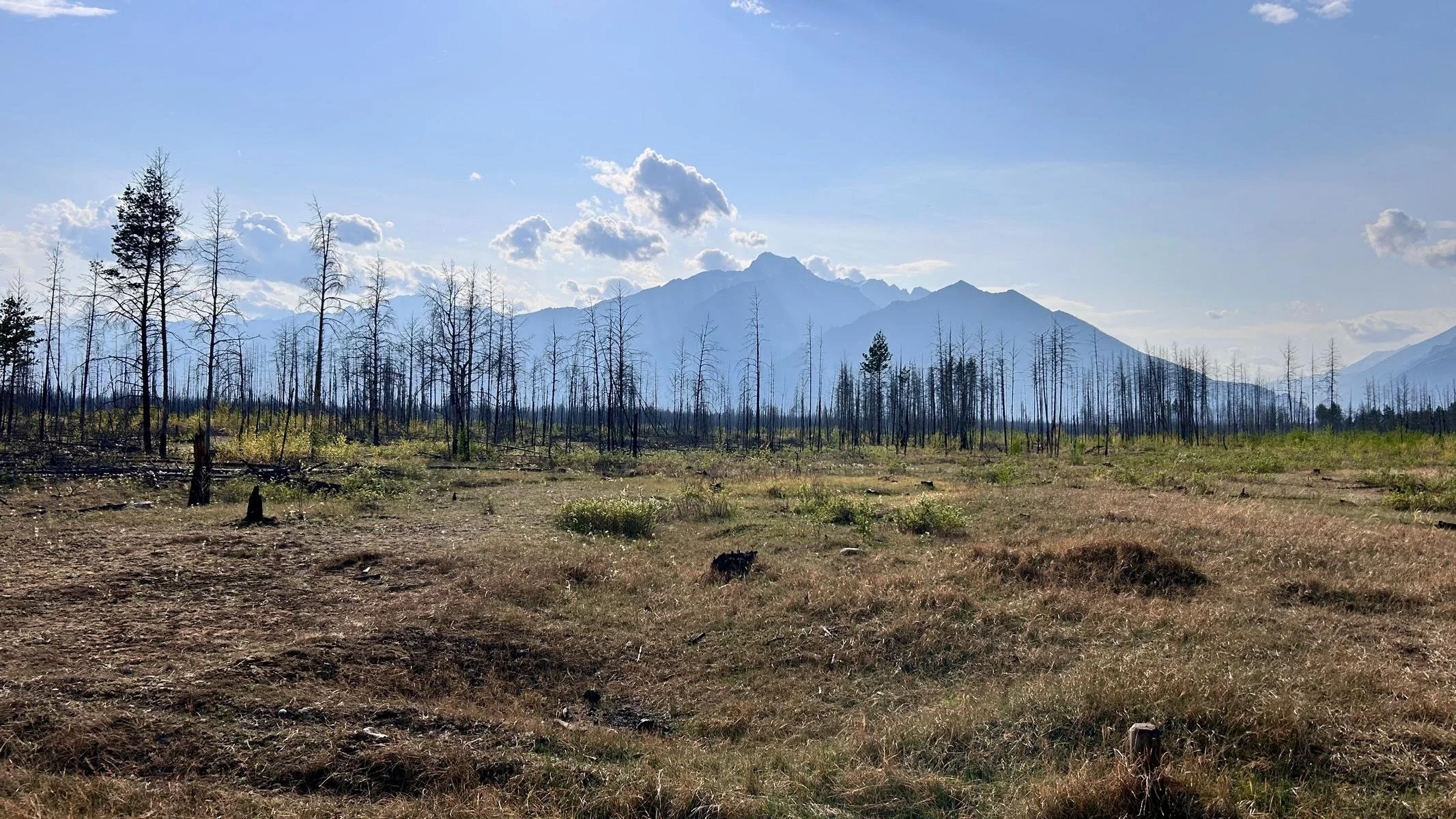
Unfortunately, it was not possible to continue to the northern part of Olkhon Island because it was closed due to the risk of forest fires. We therefore turned back and travelled about 400 km to the southern tip of Lake Baikal.
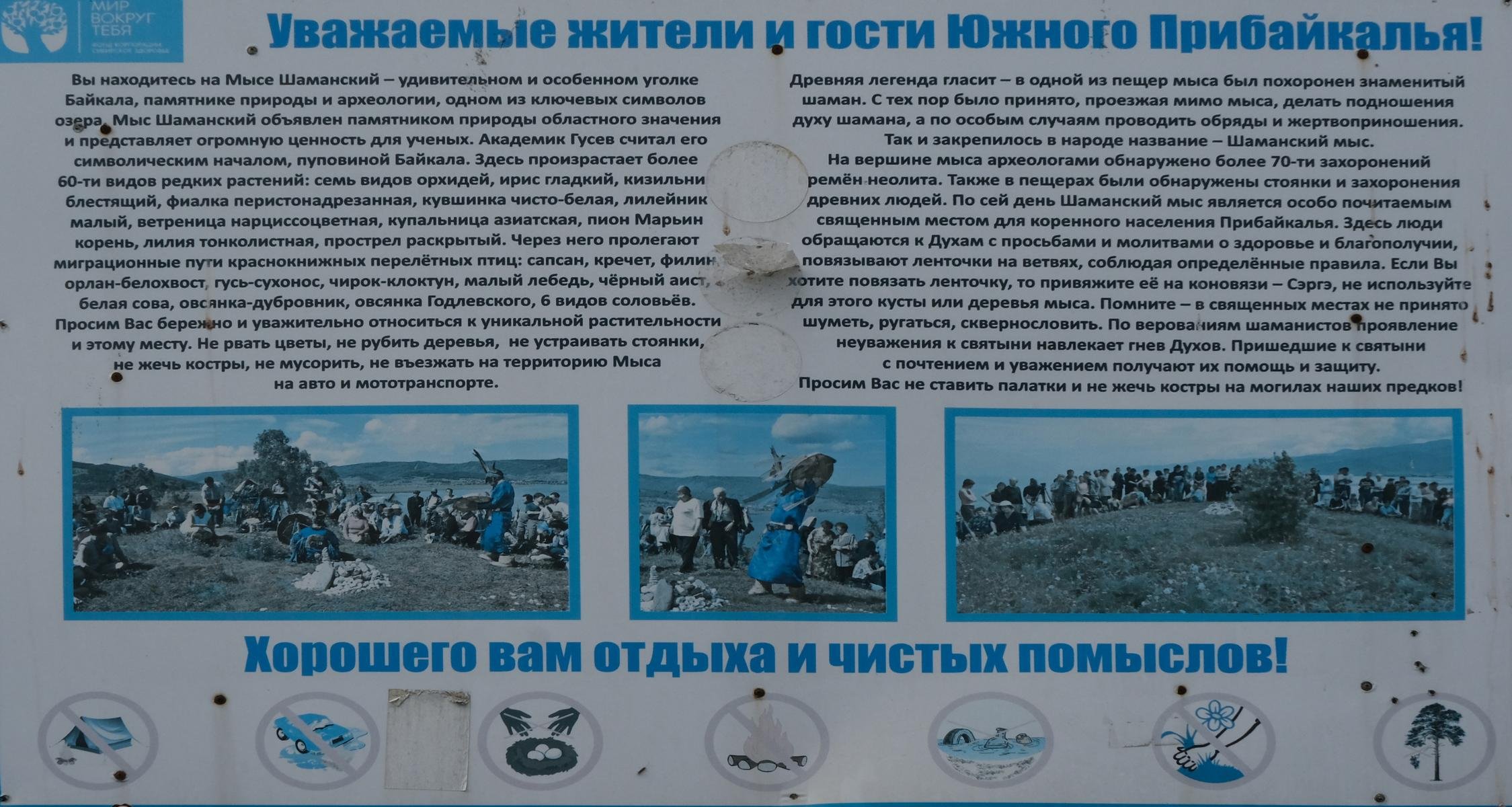
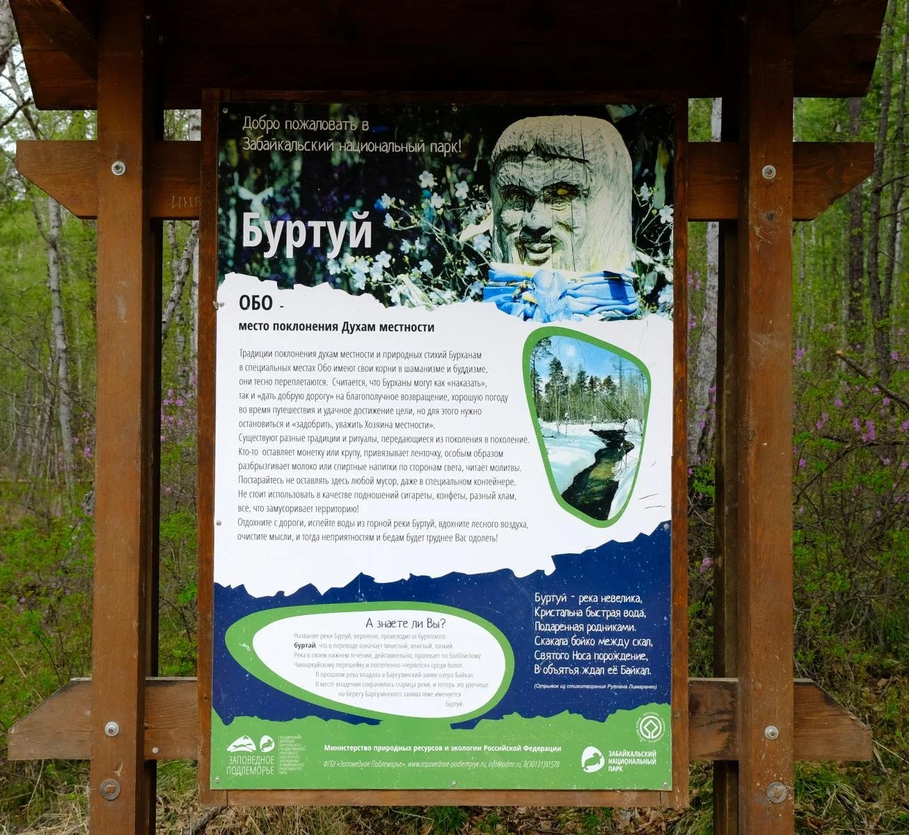
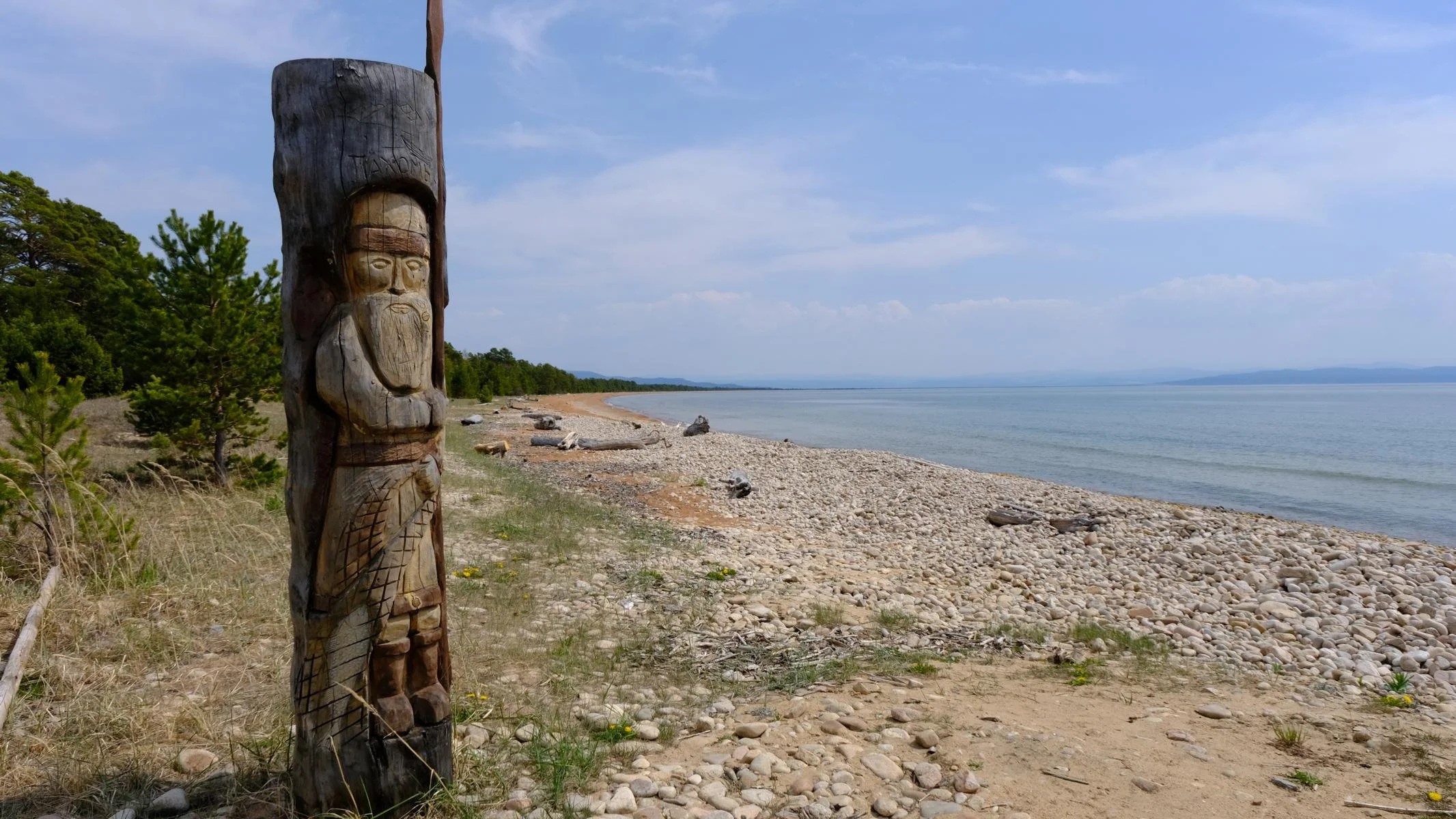
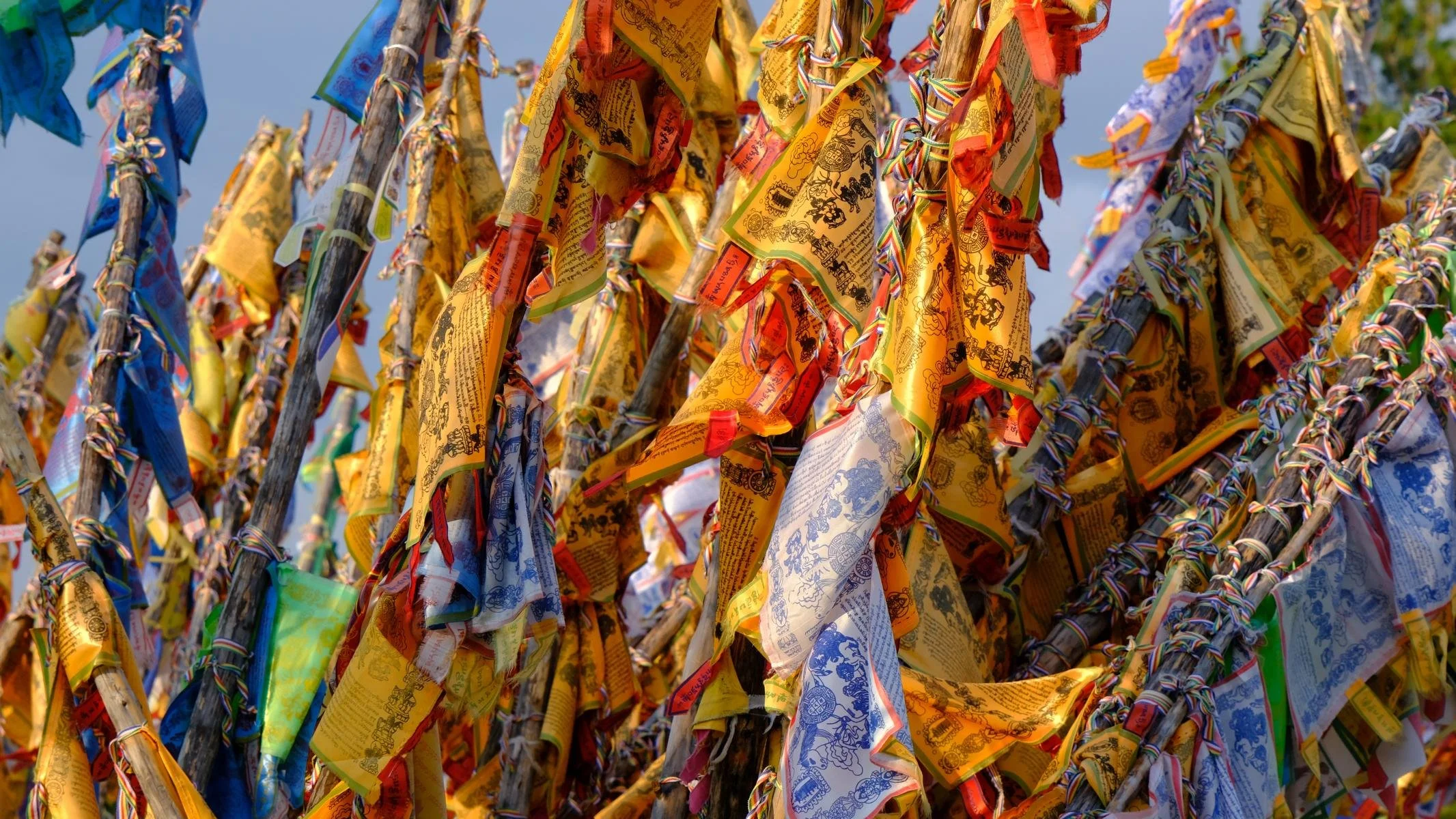
Shamanism is deeply rooted in the indigenous Siberian cultures. During the Soviet era, shamanism was categorized as backward and counter-revolutionary and was suppressed. We were therefore very surprised to find so many declared shaman cult sites on our trip. Obviously, indigenous shamanism had continued to exist and survive as an undercurrent during the Soviet era. Distinctive terrain formations and places are regarded as ‘places of power’ by the indigenous population, as is also common in other cultures. Another place we visited was a shaman rock right at the southern tip of Lake Baikal.
Leider war eine Weiterfahrt in den Nordenteil der Insel Olchon nicht möglich, weil er wegen Waldbrand Gefahr gesperrt war. Darum kehrten wir um und fuhren ca. 400 km zur Südspitze des Baikalsees.
Der Schamanismus ist tiefverwurzelt in den indigenen sibirischen Kulturen. Während der Sowjet-Zeit wurde der Schamanismus als rückständig und konter-revolutionär eingestuft und unterdrückt. Wir waren daher sehr überrascht wie viele deklarierte Schamanen-Kultplätze wir auf unserer Reise vorfanden. Offensichtlich hatte der indigene Schamanismus während der Sowjetzeit als under-current weiterbestanden und überlebt. Markante Geländeformationen und Orte werden wie auch in anderen Kulturen üblich von der indigenen Bevölkerung als „Kraftplätze“ angesehen. Ein weitere Ort, den wir besuchten, war ein Schamanenfelsen genau an der Südspitze des Baikalsees.
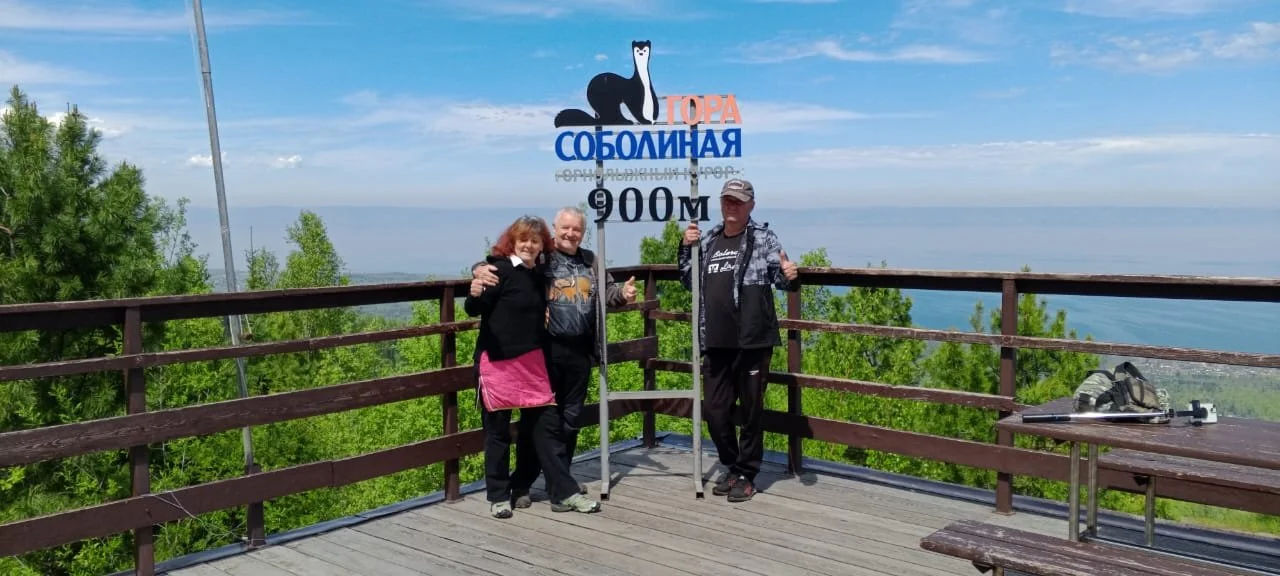
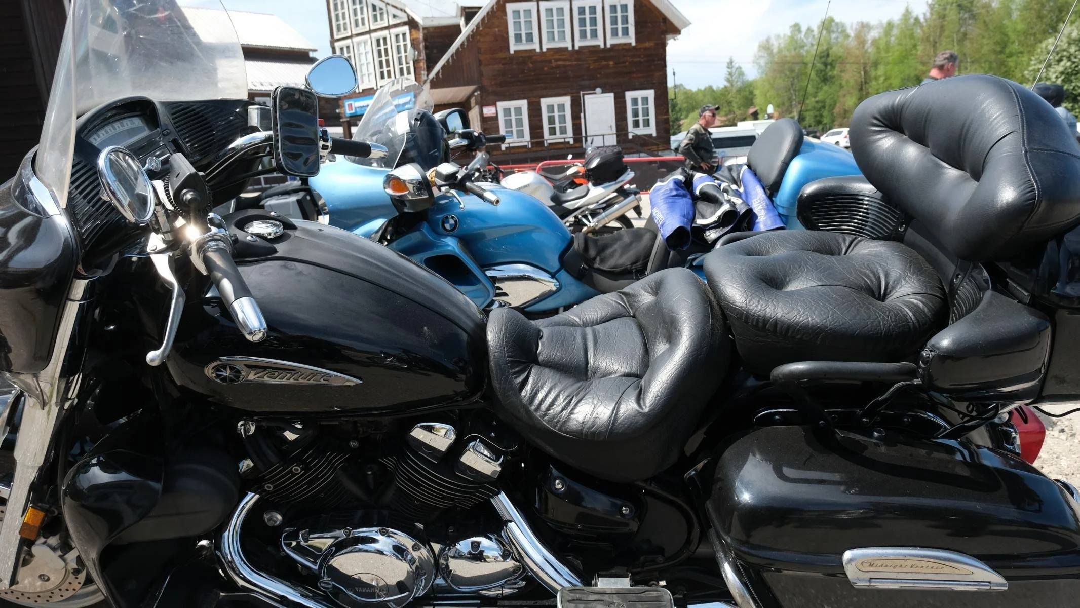
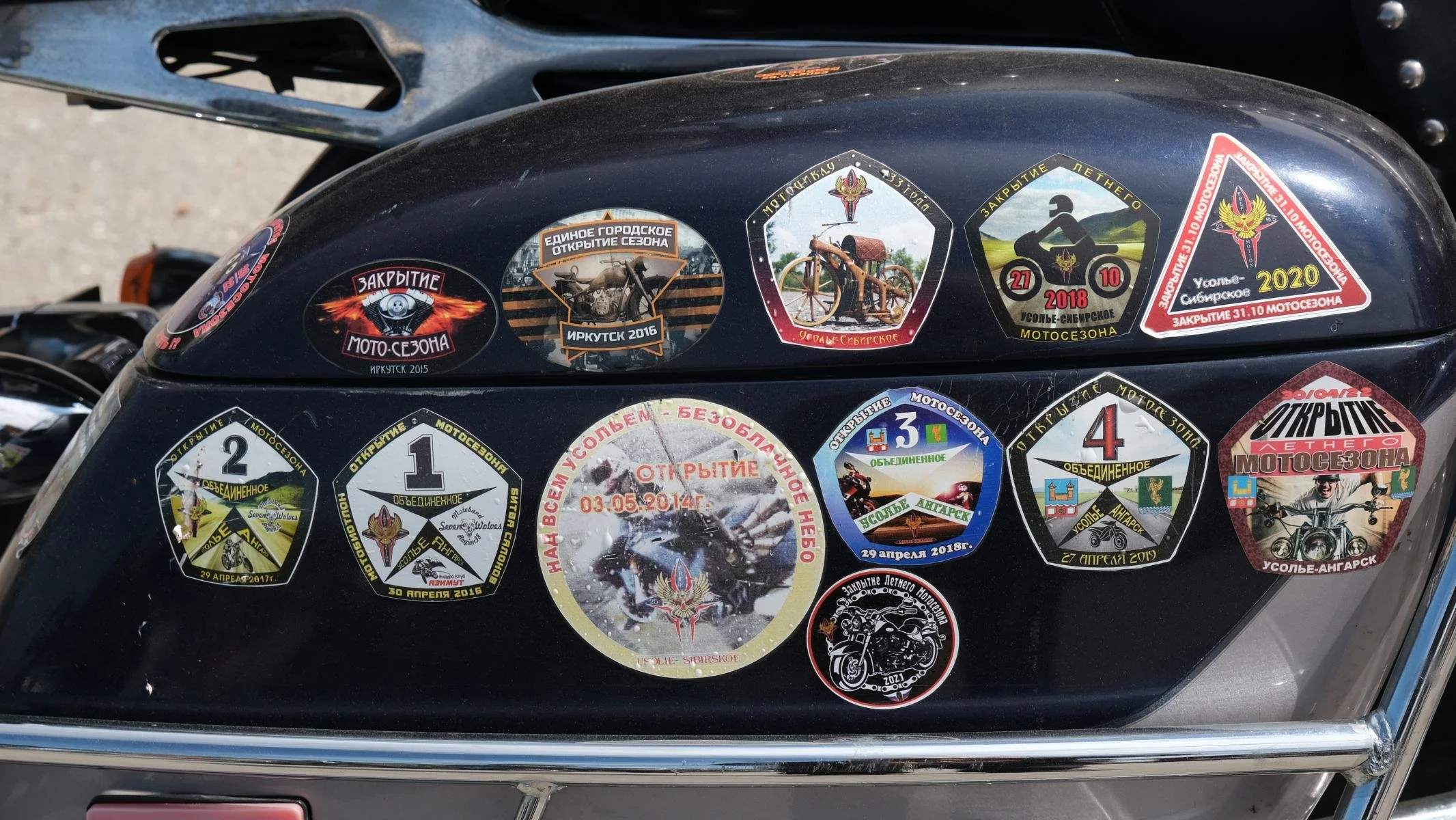
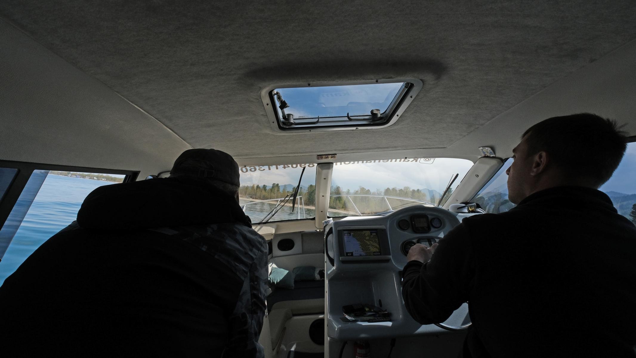
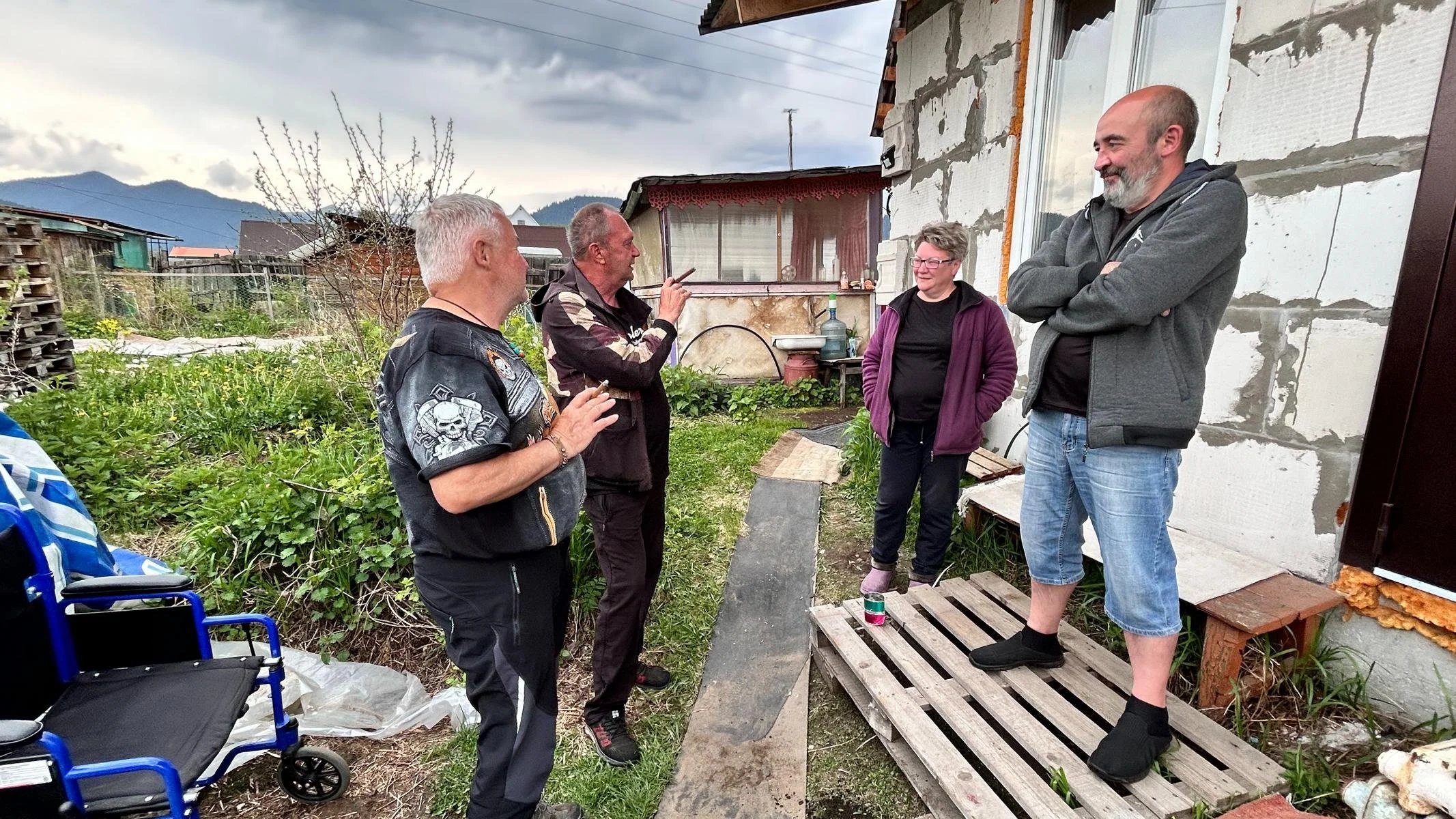
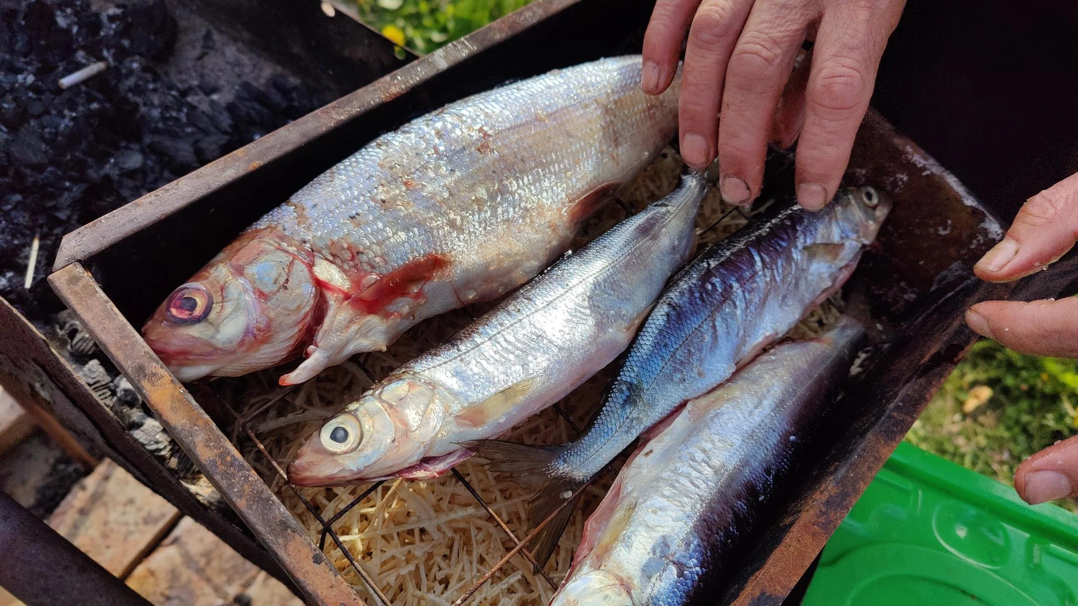
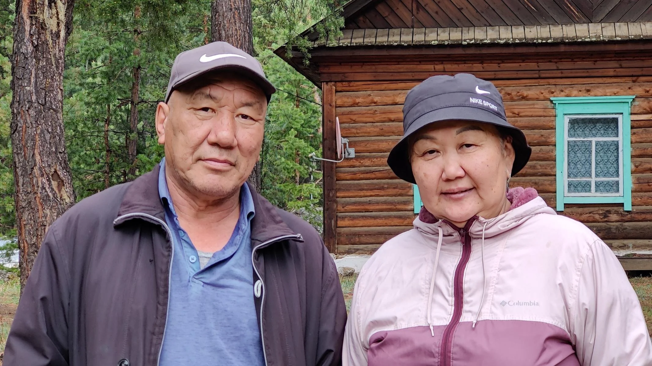
In autumn 2023, we met a Russian family in Georgia who live in Baikalsk in the south of Lake Baikal and invited us to visit them. While the architect Irina was working on a large construction site high up in the north, we were able to spend a few days with her husband Evgeni. Baikalsk is clearly suffering from the fact that the cellulose and paper factory located there had to be closed in 2013 due to severe environmental pollution. There is a small ski resort in Baikalsk called Sobolinaja (Sable Mountain, approx. 1,000 meters high), which guarantees snow from December to the end of April. We met a photogenic motorbike group near the valley station. To see the coast from the water, we chartered a motorboat for a short trip. Evgeni and his neighbors invited us to their dacha to barbecue some excellent Baikal fish. They used the method of placing the fish in a metal box with sawdust so that the fish are slowly smoked.
Wir hatten im Herbst 2023 in Georgien eine russische Familie kennengelernt, die in Baikalsk im Süden des Baikal-Sees wohnt, und uns eingeladen hat, sie zu besuchen. Während die Architektin Irina gerade hoch im Norden auf einer großen Baustelle arbeitet, konnten wir einige Tage bei ihrem Gatten Evgeni verbringen. Baikalsk leidet sichtlich darunter, dass die dort angesiedelte Zellulose- und Papierfabrik 2013 wegen schwerer Umweltschäden geschlossen werden musste. In Baikalsk gibt es ein kleines Schigebiet namens Sobolinaja (Zobelberg, ca. 1.000 m hoch), welches von Dezember bis Ende April Schneesicherheit garantiert. Nahe der Tal-Station trafen wir eine fotogene Motorrad-Gruppe. Um die Küste auch einmal vom Wasser aus zu sehen, charterten wir ein Motorboot für eine kurze Ausfahrt. Evgeni und seine Nachbarn luden uns auf ihre Datscha ein, um hervorragenden Baikal-Fisch zu grillen. Dabei verwendeten sie die Methode, die Fische mit Sägespäne in eine Metallkiste zu legen, sodass die Fische langsam geräuchert werden.
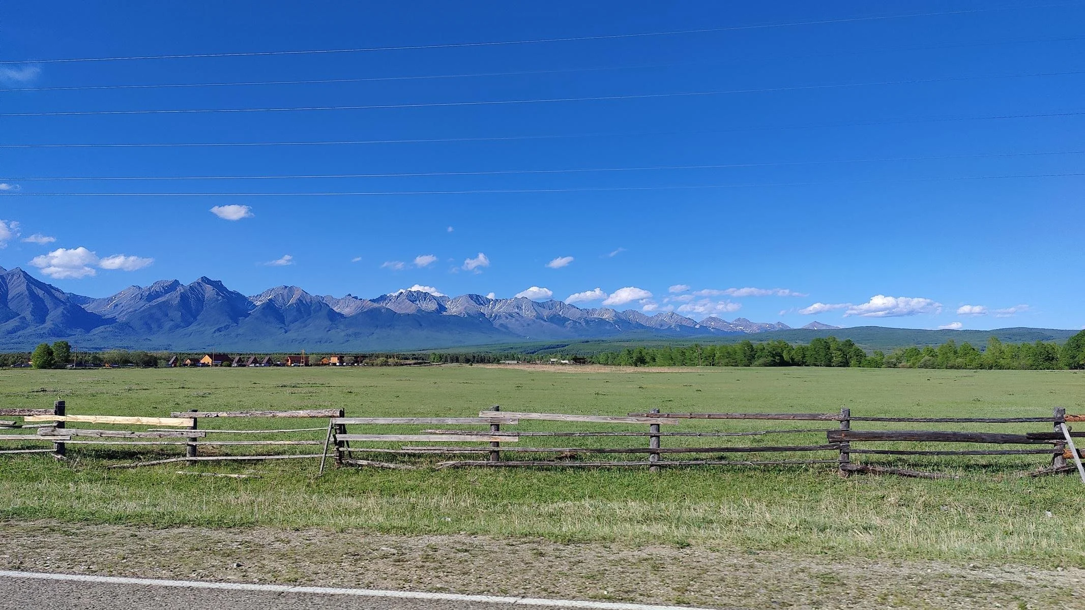
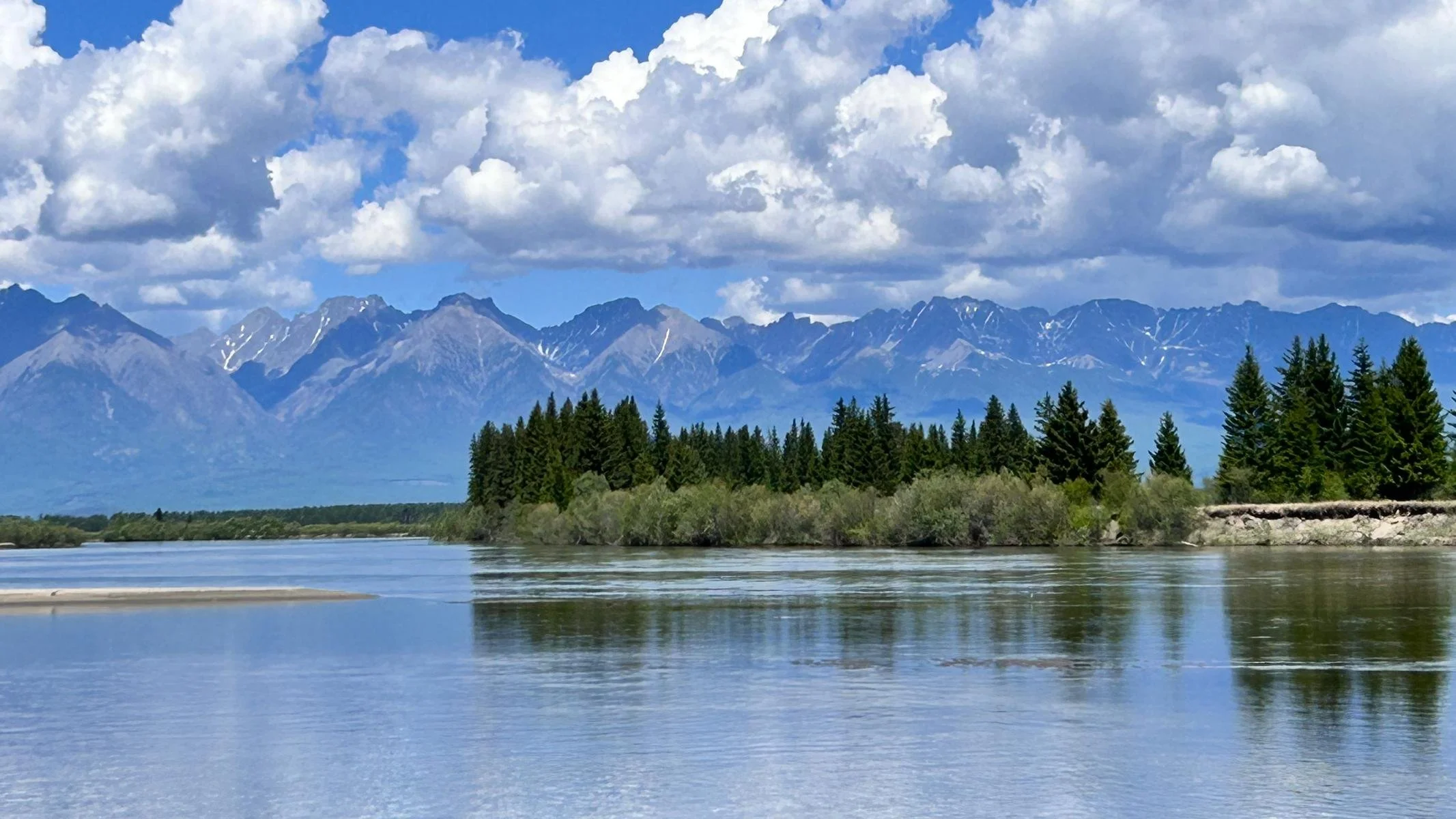
Evgeni took us on a trip to the Tunka Valley, the extension of the Baikal Rift Valley southwards towards Mongolia. The valley, which is around 200 kilometers long, is surrounded by mountains up to 3,000 meters high, which are called the Tunka Alps because of their similarity to the European Alps. During the time of the Old Silk Road, the valley was an important trade route for the tea trade from China to Russia. The valley is home to the Buryat ethnic group, who are related to the Mongols and are Buddhists. The numerous hot springs are a highlight.
Evgeni unternahm mit uns einen Ausflug ins Tunka-Tal, der Verlängerung des Baikal-Grabenbruchs nach Süden in Richtung Mongolei. Das rund 200 km lange Tal wird von bis zu 3.000 m hohen Bergen umgeben, die Tunka-Alpen genannt werden, wegen ihrer Ähnlichkeit mit den europäischen Alpen. Während der Zeit der Alten Seidenstraße war das Tal eine wichtige Handelsroute für den Tee-Handel von China nach Russland. Im Tal lebt die ethnische Gruppe der Burjaten, die mit den Mongolen verwandt und Buddhisten sind. Ein Highlight sind die zahlreichen heißen Quellen.
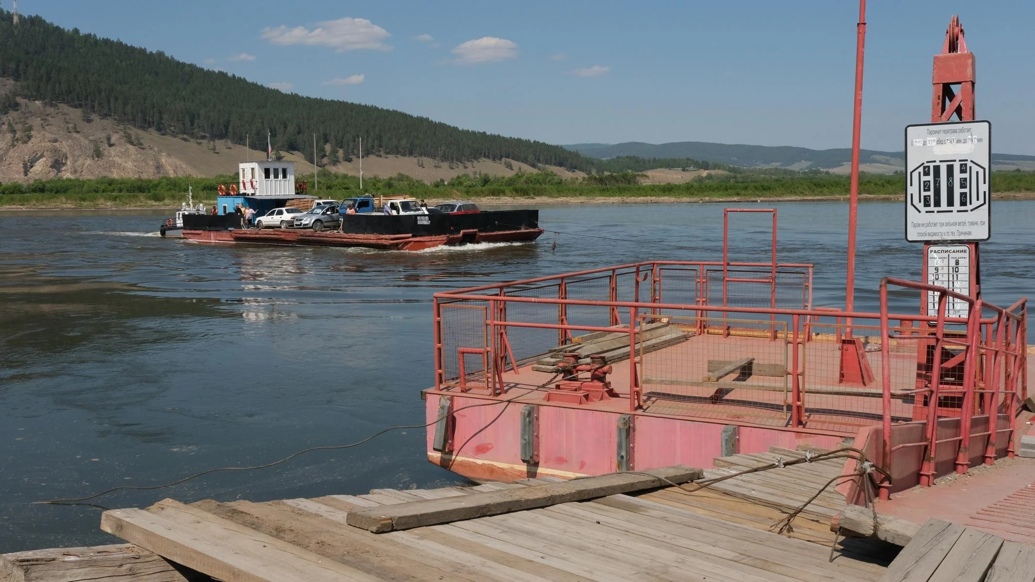
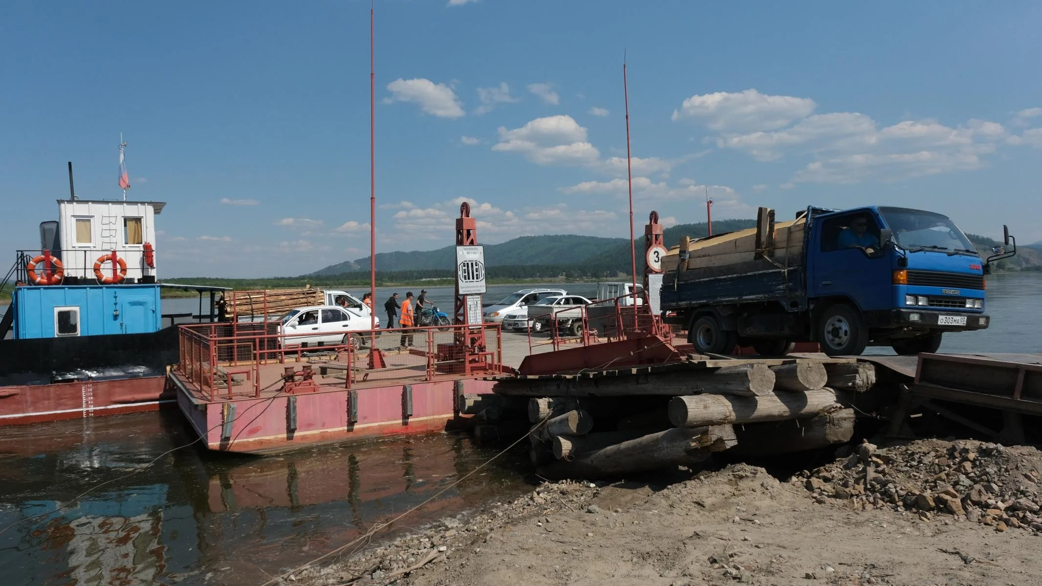
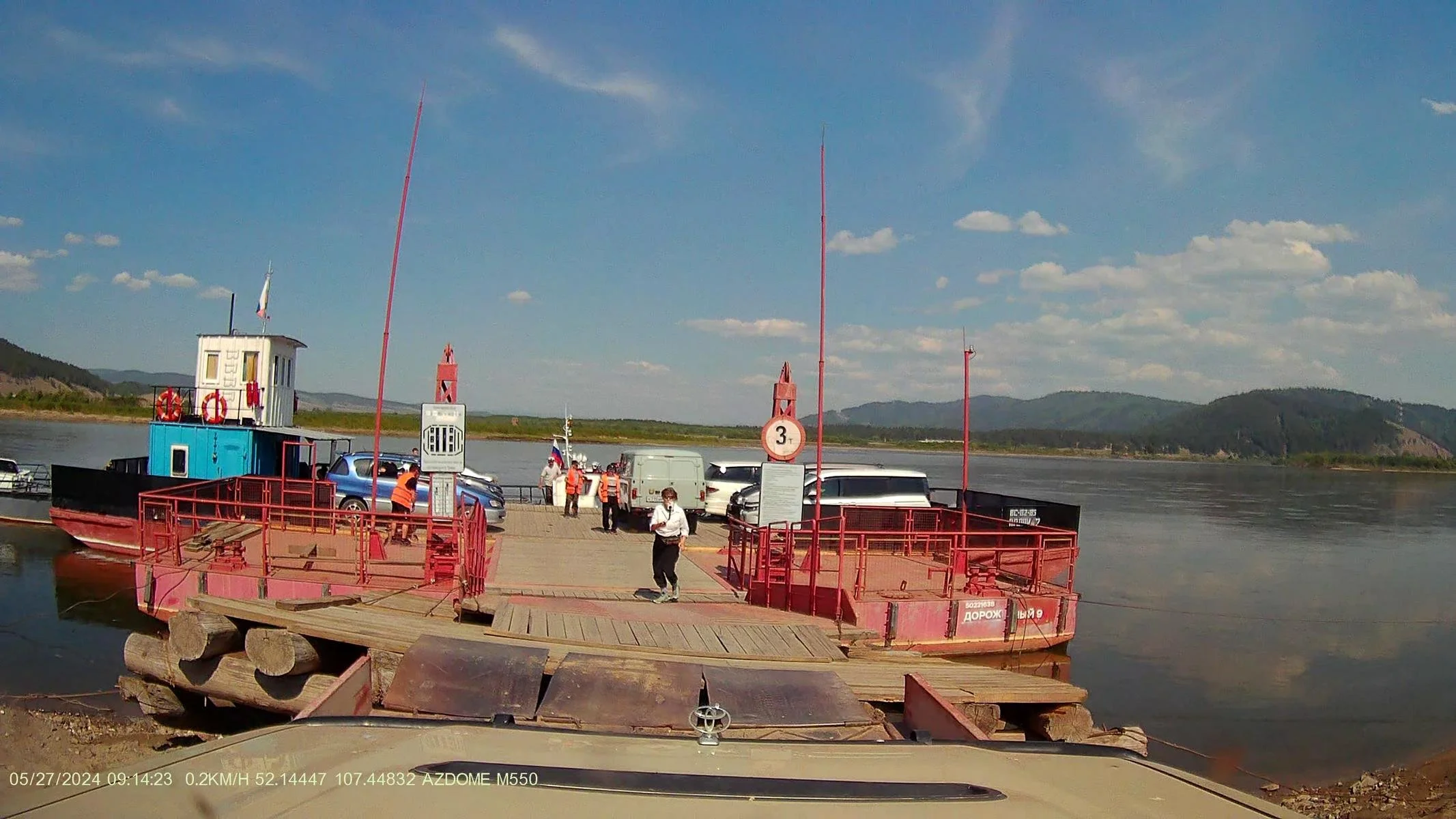
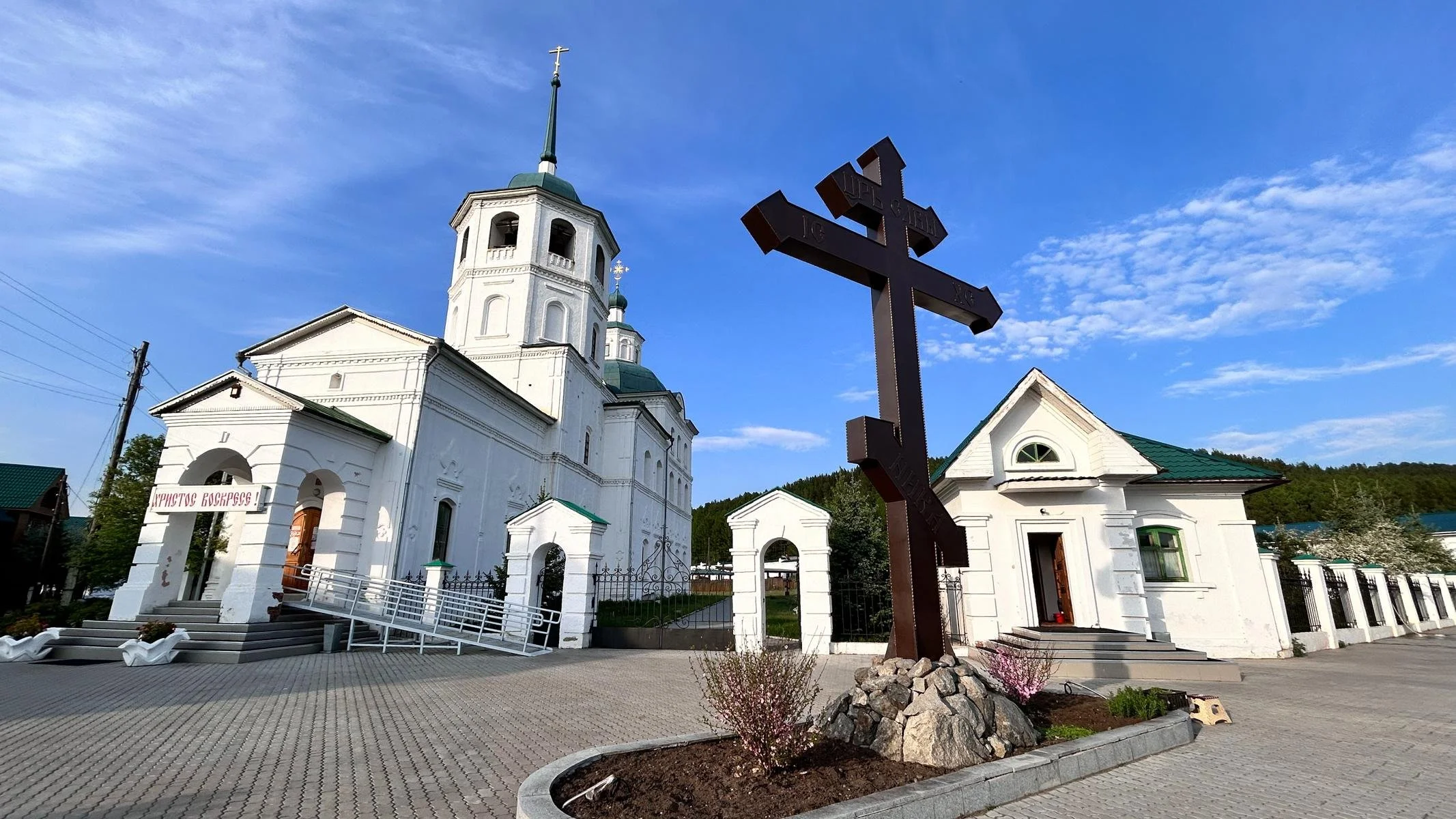
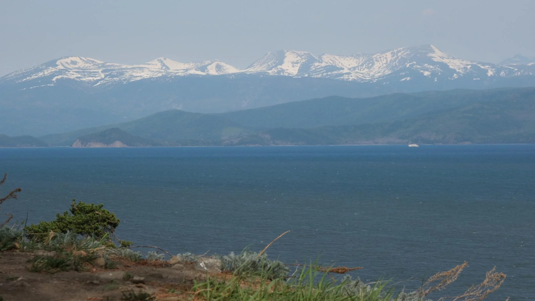
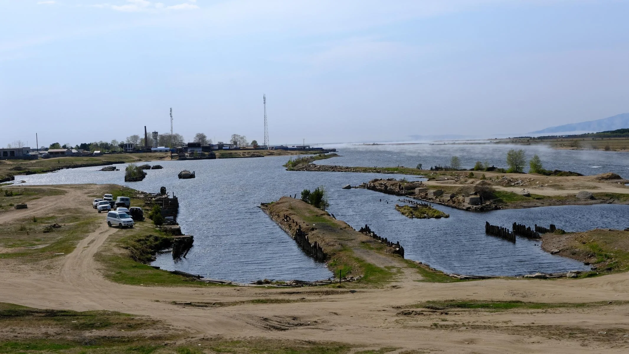
From Baikalsk, we travelled 535 km along the eastern shore to our next destination, the Svyatoi Nos (Holy Nose) peninsula, which is part of the Zabaikalskiy National Park. The ferry ride across the Selenga River and the visit to the Sretensky convent were remarkable on this route. Although it was already the end of May, we were still able to observe ice floes from the shores of Lake Baikal.
Von Baikalsk aus fuhren wir entlang des Ostufers 535 km zu unserem nächsten Ziel, der Halbinsel Swjatoi Nos (Heilige Nase), die Teil des Zabaikalskiy National Park ist. Bemerkenswert an dieser Strecke waren die Benützung der Fähre über den Selenga Fluss und der Besuch des Frauenklosters von Sretensky. Trotzdem es mittlerweile schon Ende Mai war konnten wir am Ufer des Baikalsees noch immer Treibeis-Schollen beobachten.
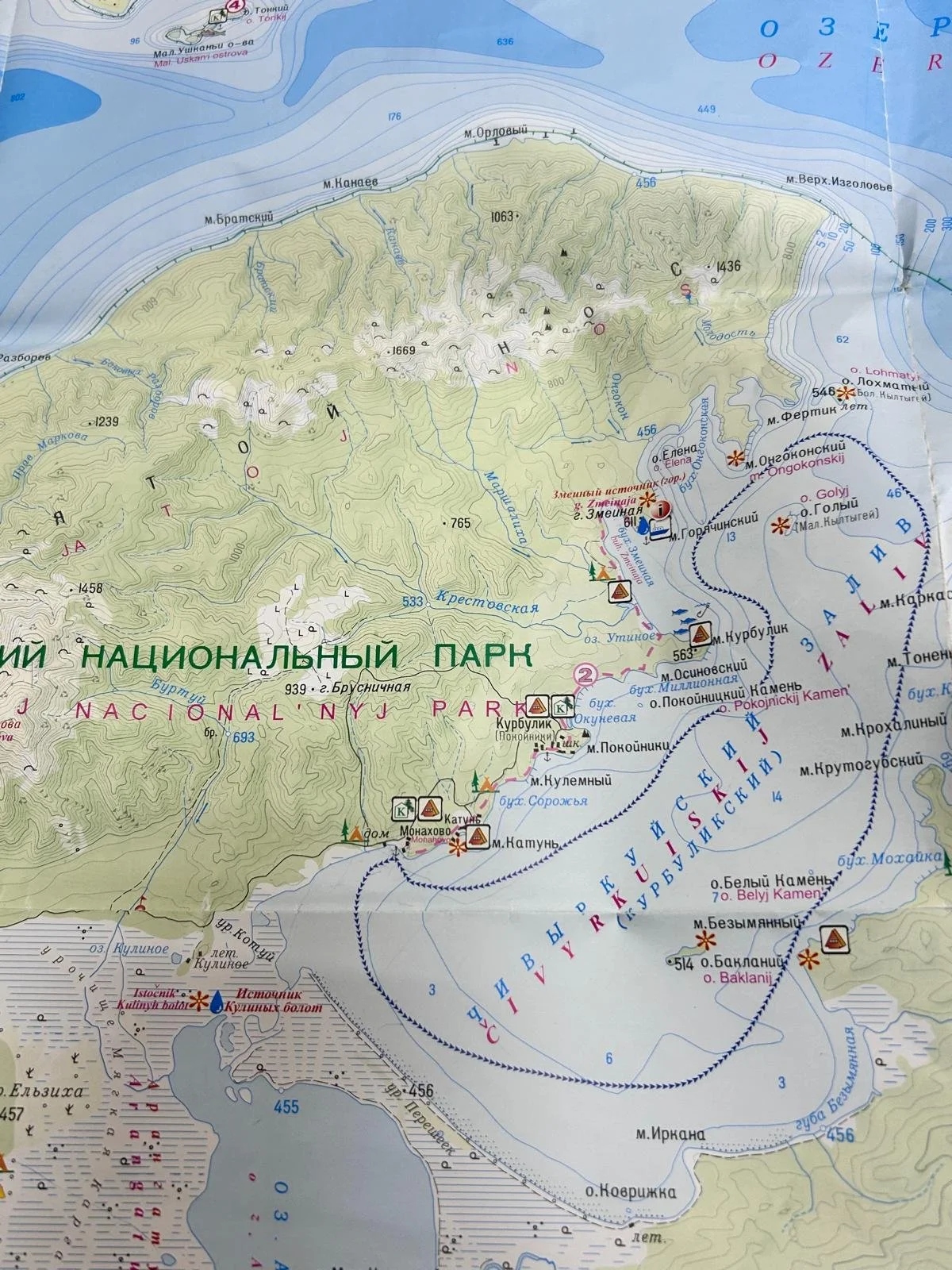
The Svyatoi Nos (Holy Nose) peninsula is part of the Zabaikalskiy National Park. Originally an island, it later became a flat and narrow land bridge due to sedimentation. The peninsula is around 600 km2 in size and very mountainous (highest elevation 1,898 m). The national park is proud of its bear population of around 150 brown bears. The approximately 2,100 km long Great Baikal Trail (long-distance hiking trail, not yet completed) runs through the island and is very well marked with red triangles.
Die Halbinsel Swjatoi Nos (Heilige Nase) ist Teil des Zabaikalskiy National Parks. Ursprünglich eine Insel, entstand später durch Verlandung eine flache und schmale Landbrücke. Die Halbinsel ist rund 600 km2 groß und sehr gebirgig (höchste Erhebung 1.898 m). Der Nationalpark ist stolz auf eine Bärenpopulation von ca. 150 Braunbären. Durch die Insel führt der ca. 2.100 km lange Great Baikal Trail (Weitwanderweg, noch nicht fertiggestellt), der mit roten Dreiecken sehr gut ausgeschildert ist.
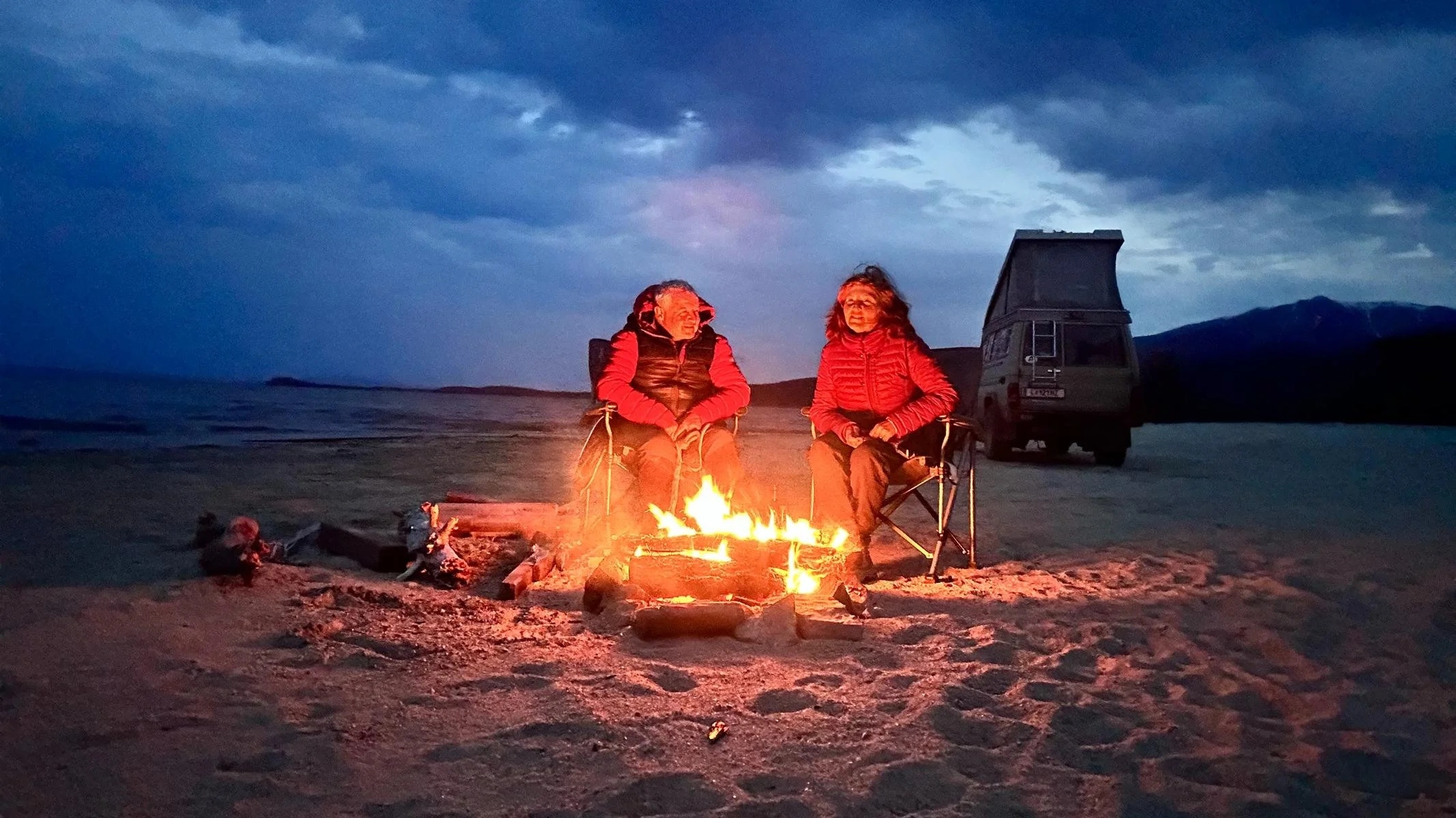
Camping is only permitted in special places in the national park. We spent a few days in the picturesque Monakhovo Bay. It was low season, so we were the only tourists there and spent wonderful evenings around the campfire.
Campieren ist im Nationalpark nur an speziellen Plätzen erlaubt. Wir verbrachten einige Tage in der malerischen Monakhovo Bucht. Es war Vorsaison, so waren wir die einzigen Touristen dort und verbrachten wunderschöne Abende am Lagerfeuer.
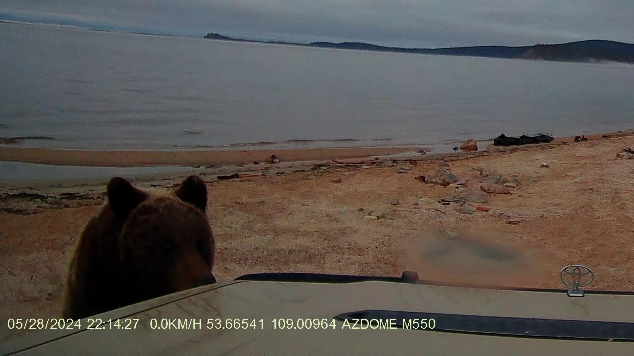
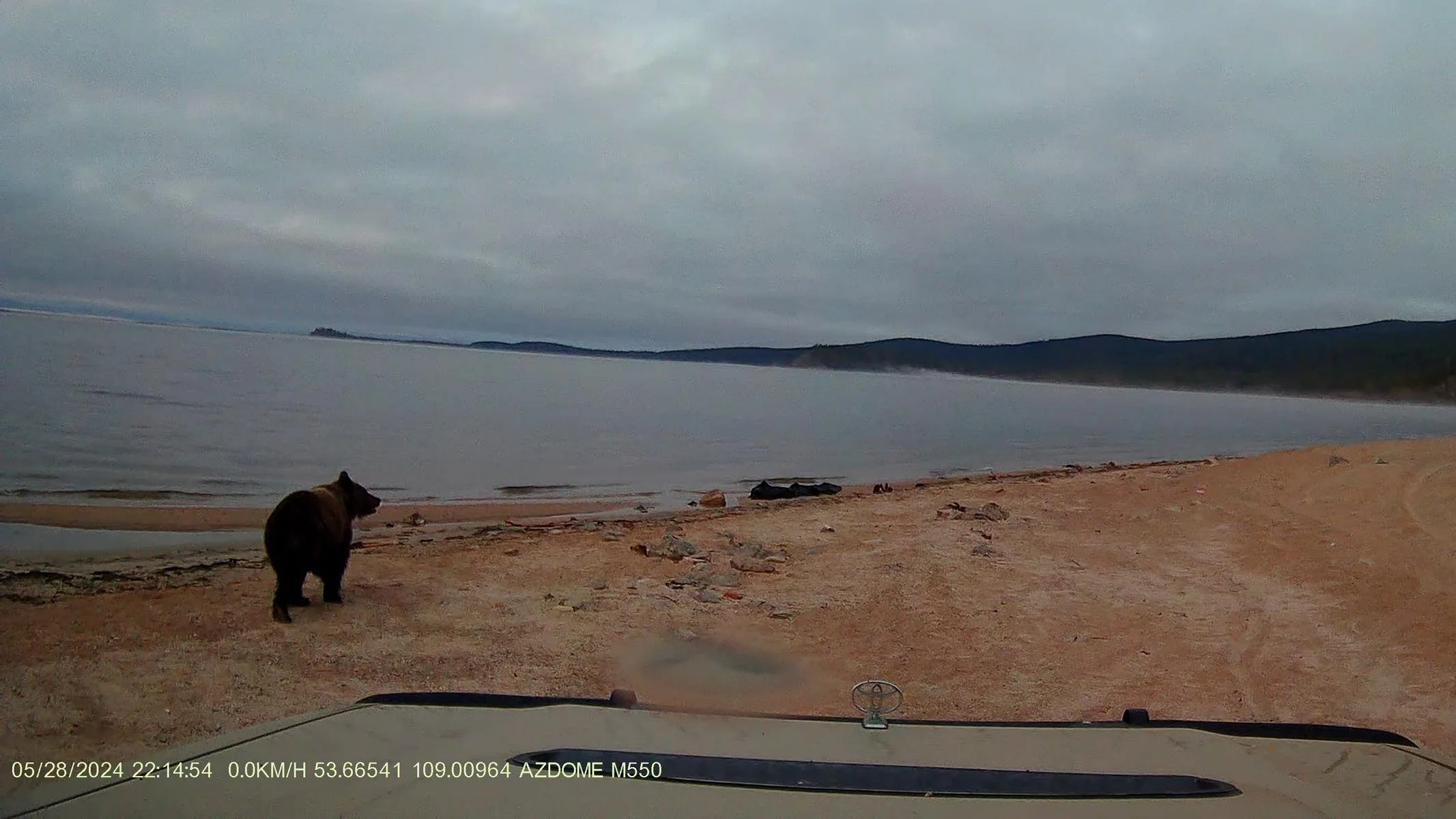
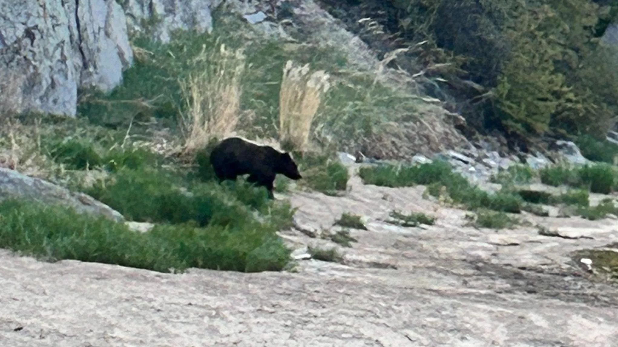
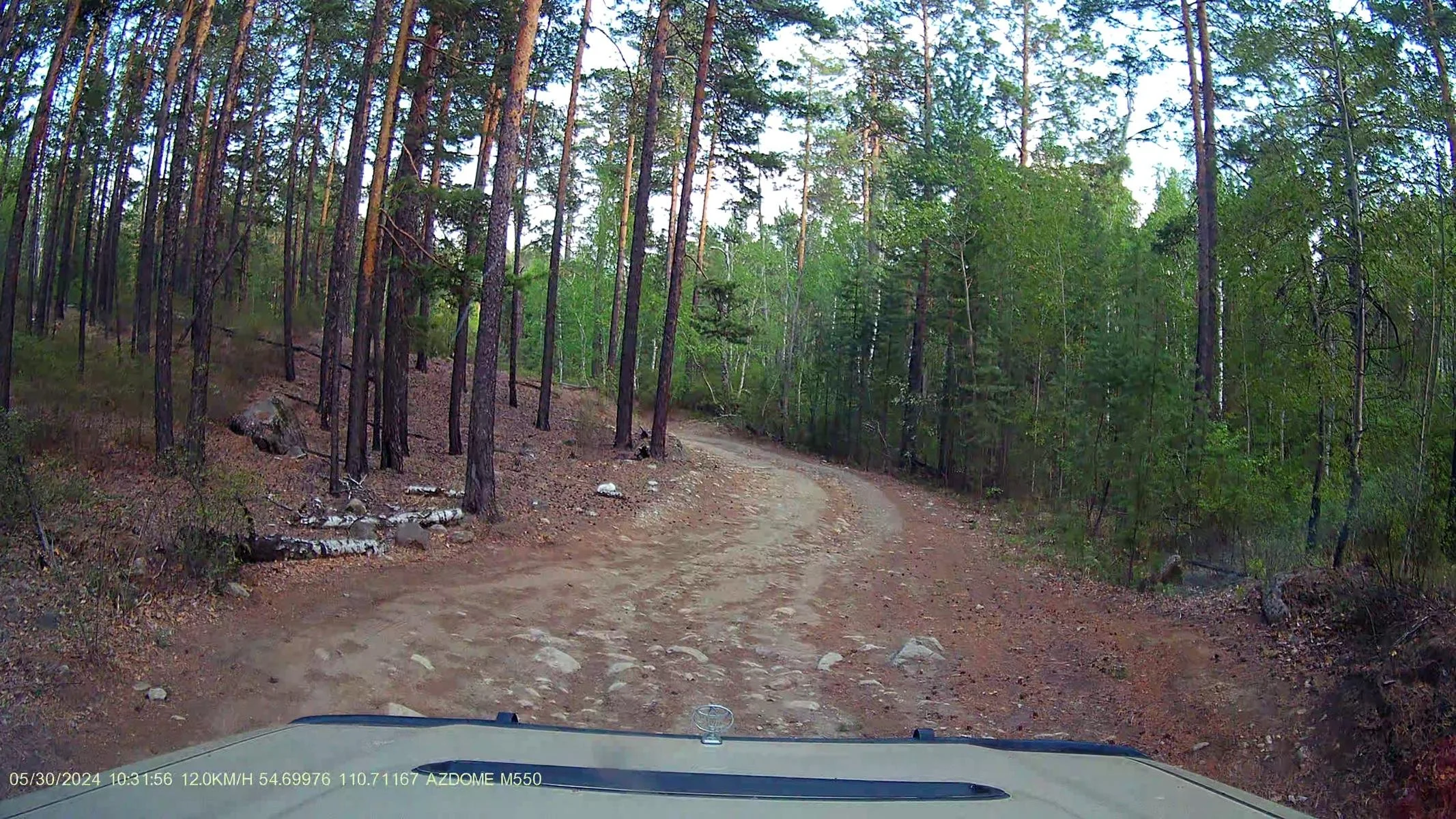
One day at 04:15 in the morning, our car suddenly started to rock. As I looked out from the roof tent, I saw a brown bear inspecting our car and shaking it. As we had learned in North America, we made noise to scare the bear away. It reared up and suddenly we were face to face with the brown bear's snout a meter away. After a short pause for reflection, it trotted off peacefully and climbed up the nearby rock face with incredible skill. By chance, the car's on-board camera had been switched on overnight, so the bear was briefly recorded on video (the first two images). In the morning we found the car covered with the bear's paw prints. It all happened so quickly that we didn't really have time to be scared. Besides, the bear wasn't really aggressive, but rather curious and probably just wanted to see if we had anything to eat.
Eines Tages um 04:15 in der Früh begann unser Auto plötzlich zu schaukeln. Als ich vom Dachzelt aus hinausschaute sah ich wie ein Braunbär unseren Wagen inspizierte und am Auto rüttelte. Wie wir in Nord-Amerika gelernt hatten machten wir Lärm, um den Bären zu vertreiben. Er richtete sich auf und plötzlich waren wir auf einen Meter Entfernung Angesicht zu Angesicht mit der Schnauze des Braunbärens. Nach einer kurzen Nachdenkpause trabte er dann friedlich davon und kletterte mit einer unglaublichen Geschicklichkeit die nahe Felswand hinauf. Zufällig war über Nacht die Bordkamera des Autos eingeschaltet gewesen, sodass der Bär kurz im Video aufgenommen wurde (die ersten beiden Bilder). In der Früh fanden wir dann das Auto bedeckt mit den Abdrücken der Bärentatzen. Das ganz geschah so schnell, dass wir gar keine richtige Zeit hatten, um Angst zu haben. Außerdem war der Bär nicht wirklich aggressive, sondern eher neugierig und wollte wohl nur schauen, ob wir was zum Fressen haben.
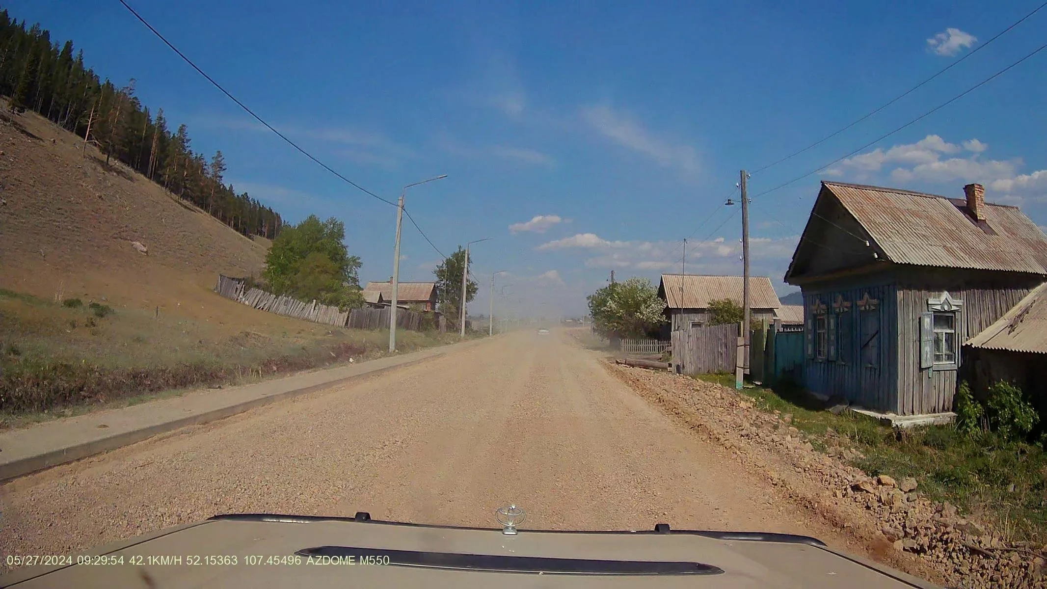
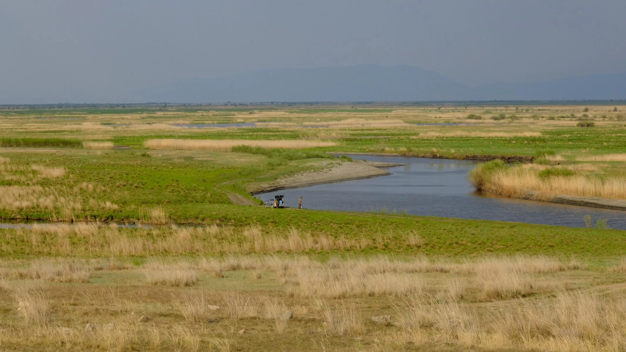
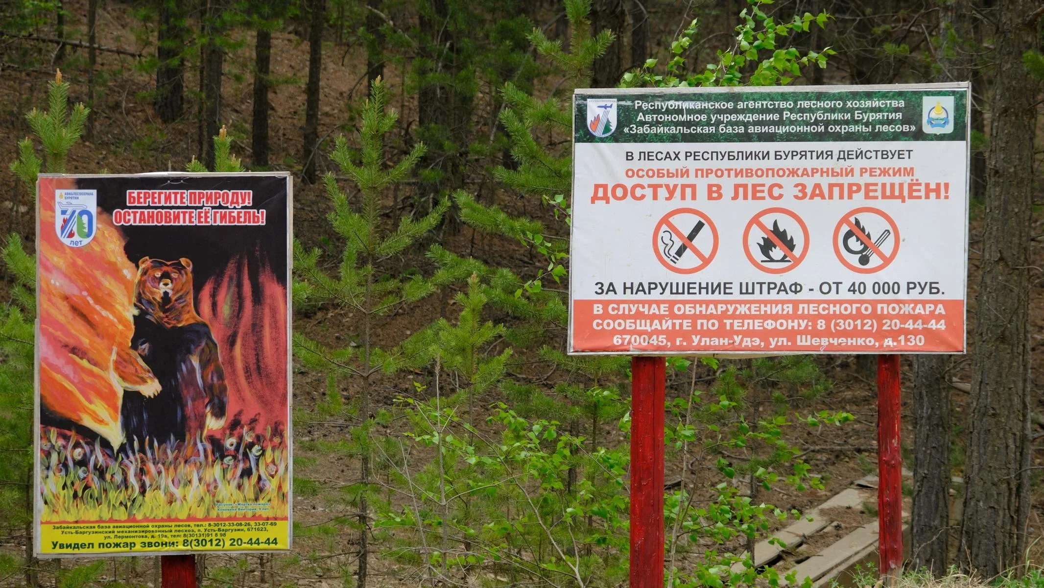
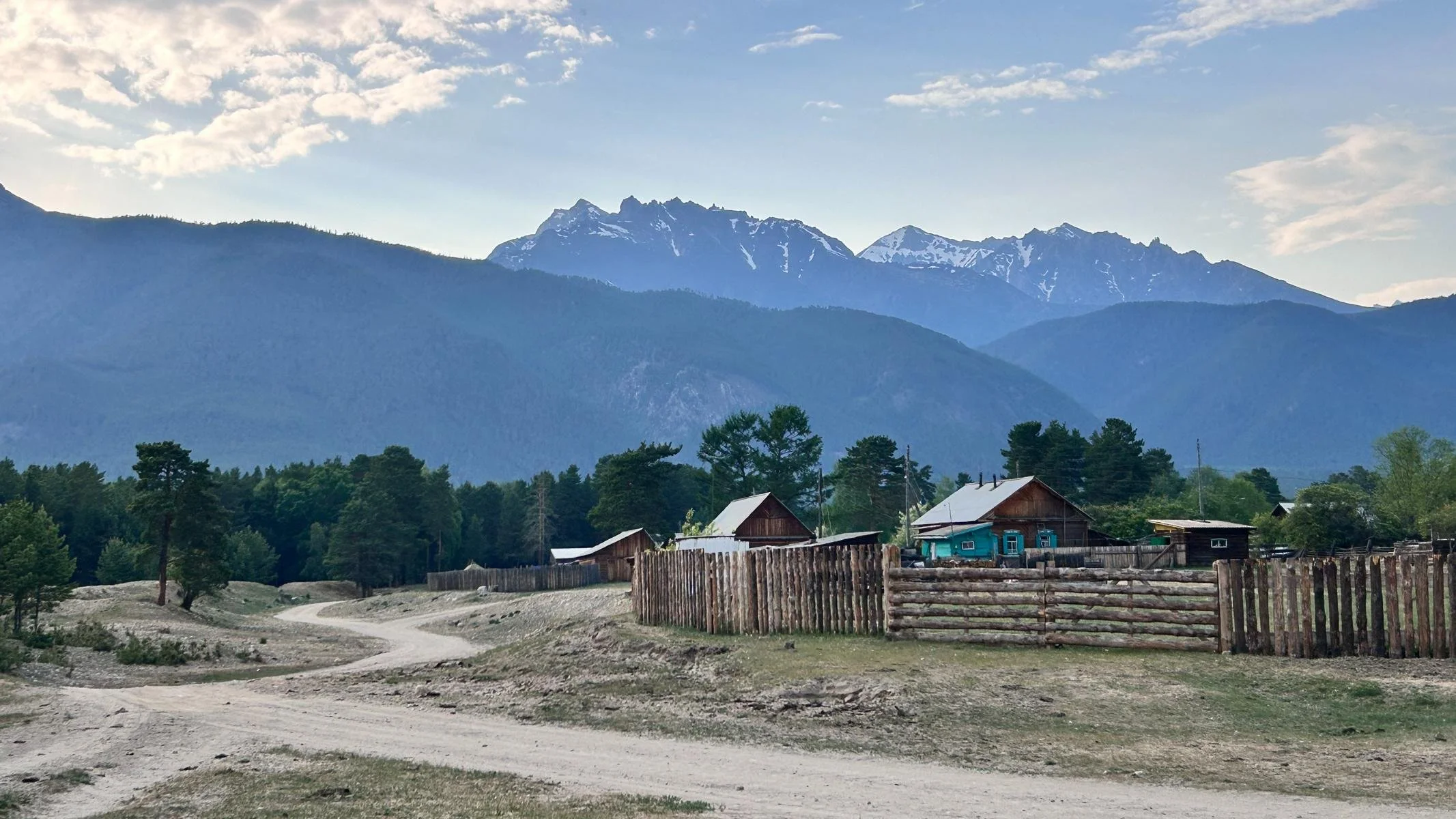
From Svyatoi Nos, we travelled further north into the Barguzin Valley. The flat and partly swampy valley floor, which has been inhabited for over 3,000 years, is flanked by two mountain ranges up to 2,800 meters high. As everywhere in Siberia, there are many signs along the road warning of the danger of forest fires. The valley is populated by the Buryats and Evenks, two ethnic groups who practice Buddhism and lived as nomads until they were forced to settle down in the 1930s.
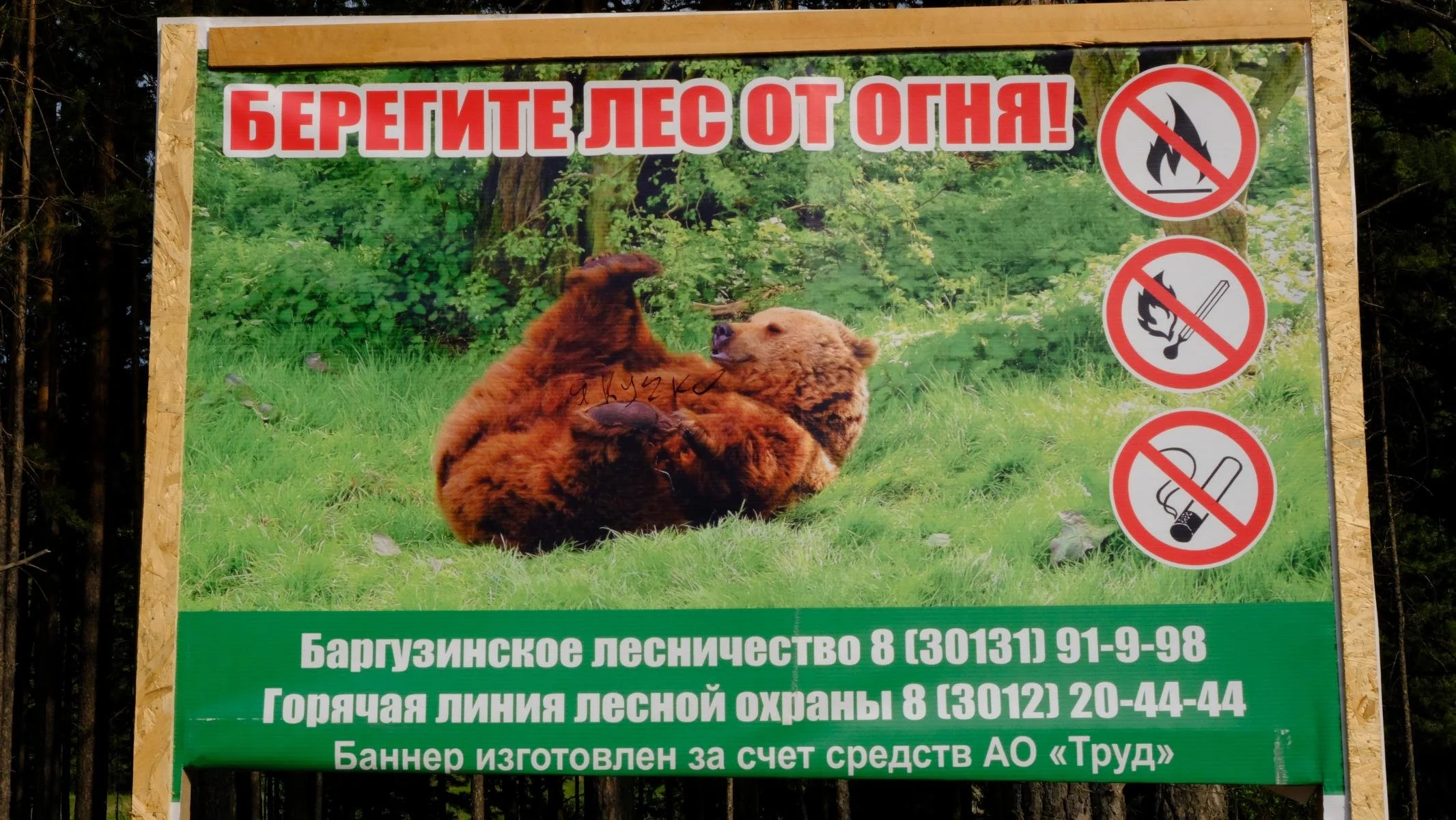
Von Swjatoi Nos fuhren wir weiter nach Norden in das Bargusin Tal. Der flache und teilweise sumpfige Talboden, der seit über 3.000 Jahren besiedelt ist, wird von zwei bis zu 2.800 m hohen Bergketten flankiert. Wie überall in Sibirien stehen entlang der Straße viele Hinweistafeln, die vor der Waldbrandgefahr warnen. Das Tal wird von den Burjaten und Ewenken besiedelt, zwei ethnische Gruppen, die den Buddhismus verehren und bis zu ihrer zwangsweisen Sesshaftmachung in den 1930er Jahren als Nomaden lebten.
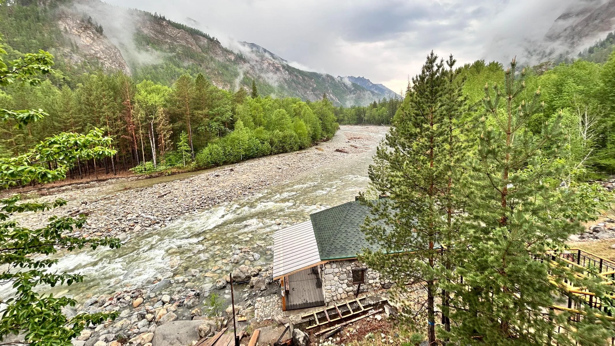
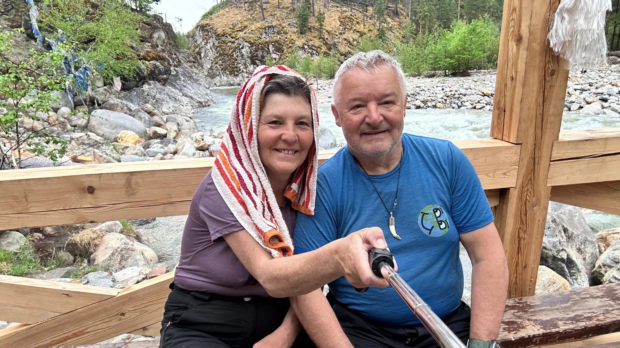
Our destination was the hot springs of Alla in the north of the valley. We camped at a farm belonging to a Buryat family who had tapped a hot spring and built a bathhouse - a rustic experience. A nearby waterfall was still frozen at the end of May. On the return journey, we took the other side of the valley, where the road was much worse and the villages even more remote. In every village there is a memorial to the victims of the Second World War (known in the Soviet Union and now in Russia as the Great Patriotic War) in a central square. When you visualize the long list of fallen soldiers in this small village deep in Siberia, you realize how many millions of people died in the Soviet Union as a result of Nazi Germany's war of aggression.
Unser Reiseziel waren die heißen Quellen von Alla im Norden des Tals. Wir campierten bei einem Bauernhof einer Burjaten Familie, die eine heiße Quelle gefasst und ein Badehaus errichtet hatte – ein rustikales Erlebnis. Ein in der Nähe befindlicher Wasserfall war auch Ende Mai noch tief gefroren. Bei der Rückfahrt nahmen wir die andere Talseite, wo die Straße deutlich schlechter und die Ortschaften noch abgelegener waren. In jedem Dorf gibt es auf einem zentralen Platz ein Denkmal für die Opfer des Zweiten Weltkriegs (der in der Sowjetunion bzw. jetzt in Russland Großer Vaterländischer Krieg genannt wird). Wenn man sich die langen Gefallenenlisten dieses kleinen Dorfs tief in Sibirien vergegenwärtigt wird einem vor Augen geführt, wie viele Millionen Menschen in der Sowjetunion durch den Angriffskrieg von Nazi-Deutschland umgekommen sind.
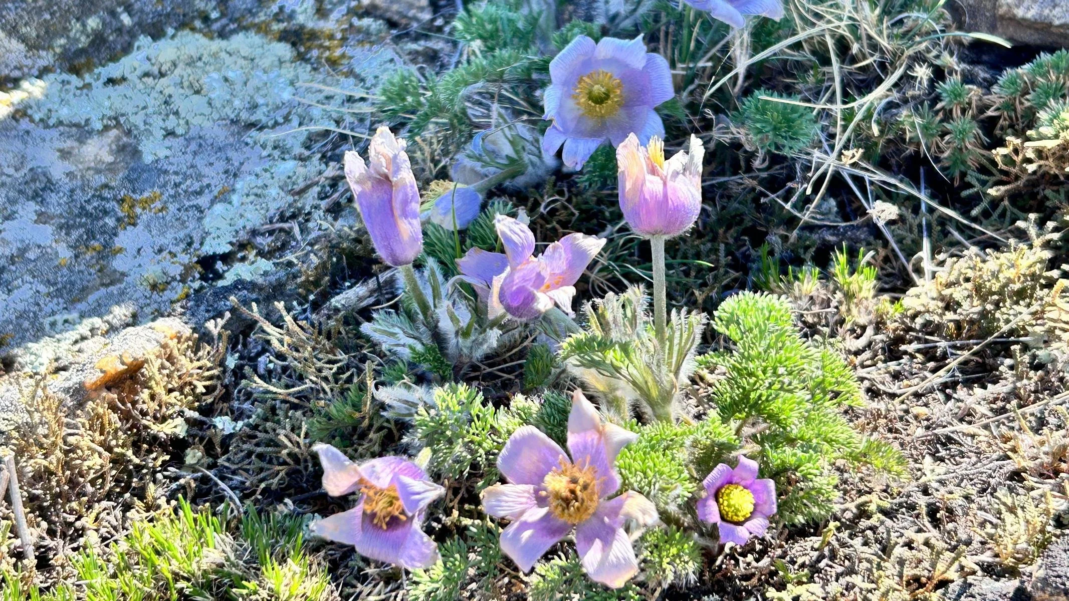
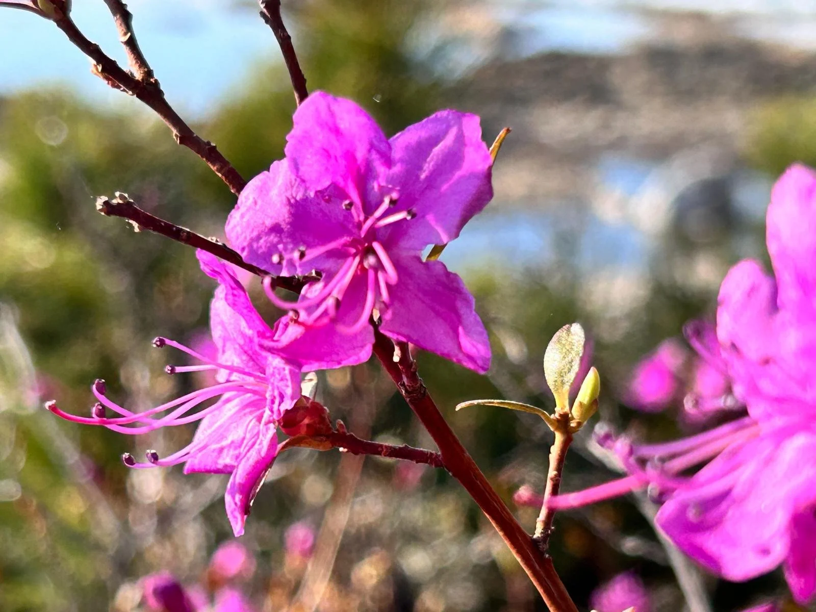
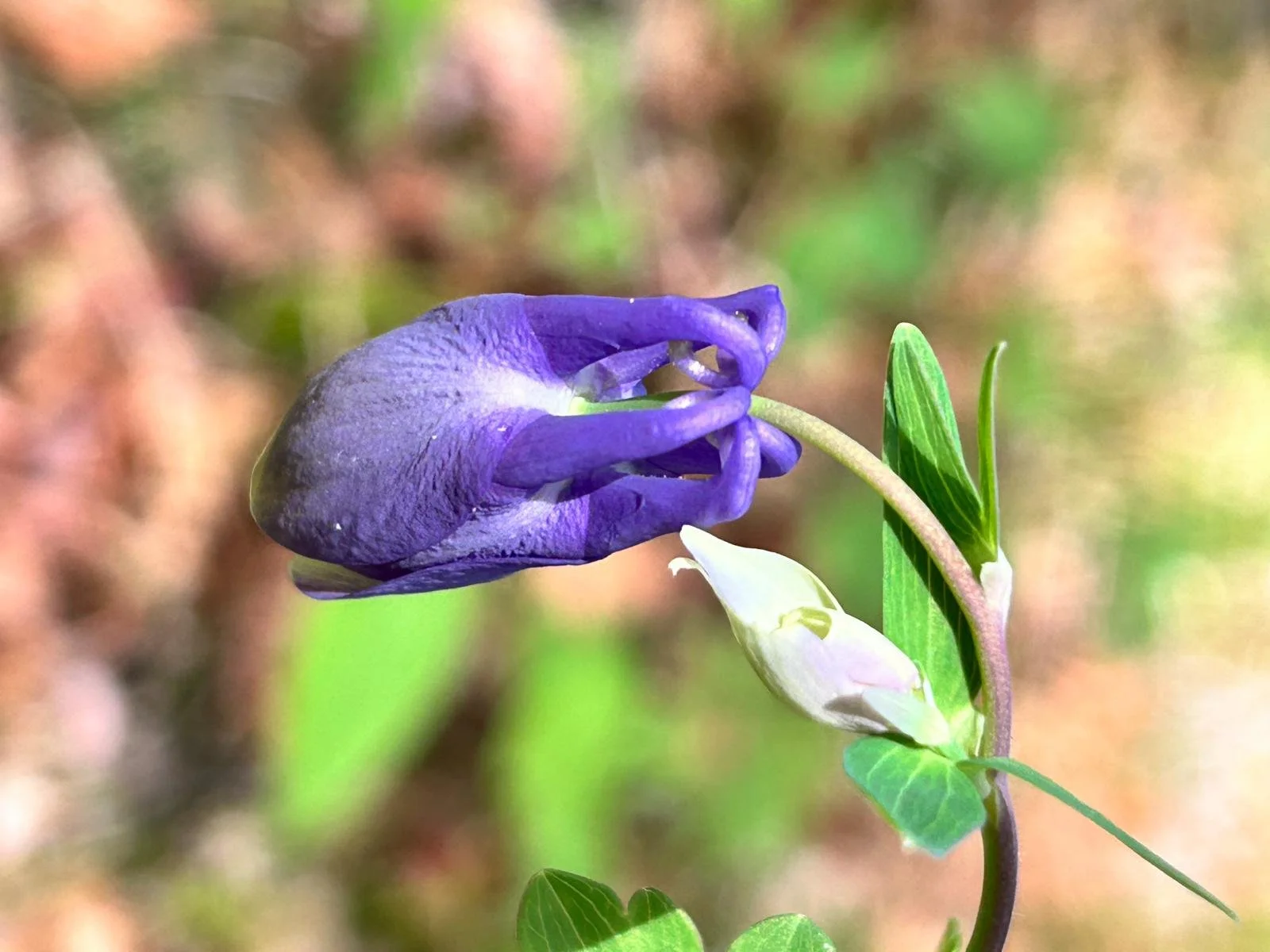
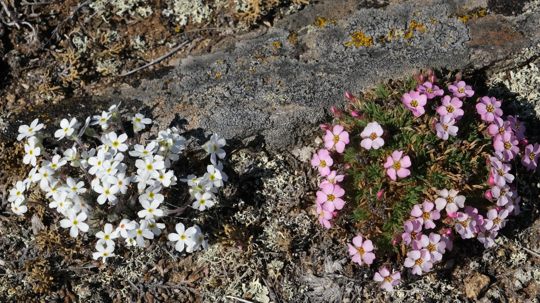
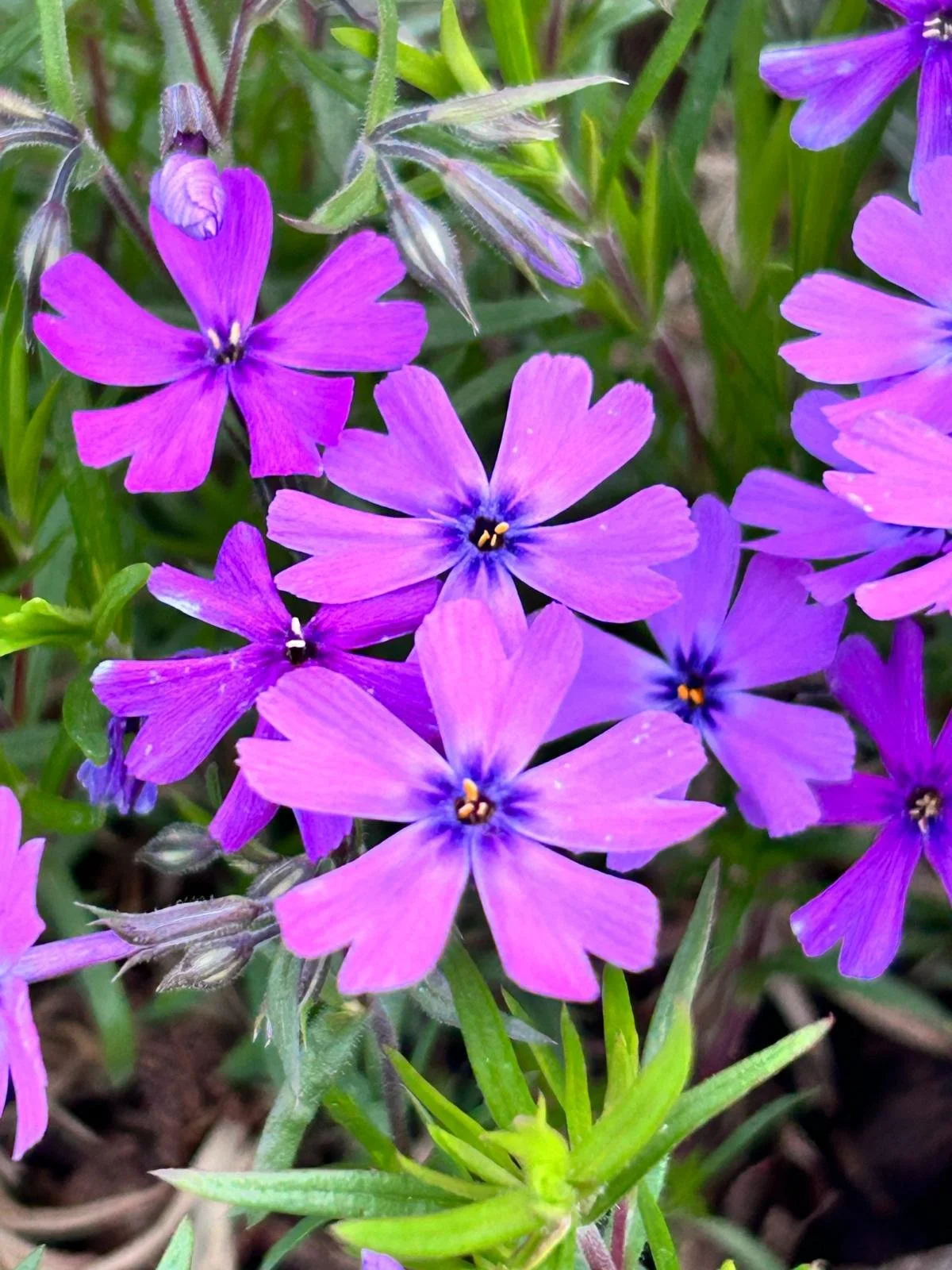
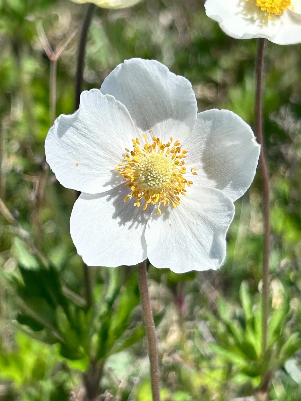
Finally, a few shots of the beautiful flowers we saw on our trip around Lake Baikal.
Zu Abschluss noch ein paar Aufnahmen von den wunderschönen Blumen, die wir auf unserer Reise um den Baikal-See gesehen haben.
