Colombia Jan-April 2018
Between January and April 2018 I travelled six weeks through Colombia. Three weeks I have been accompanied by an old friend and sports colleague of mine, Wolfgang Obermayr.
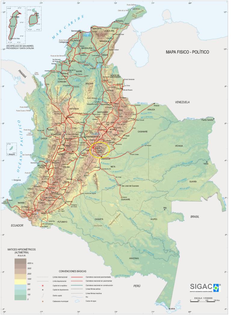
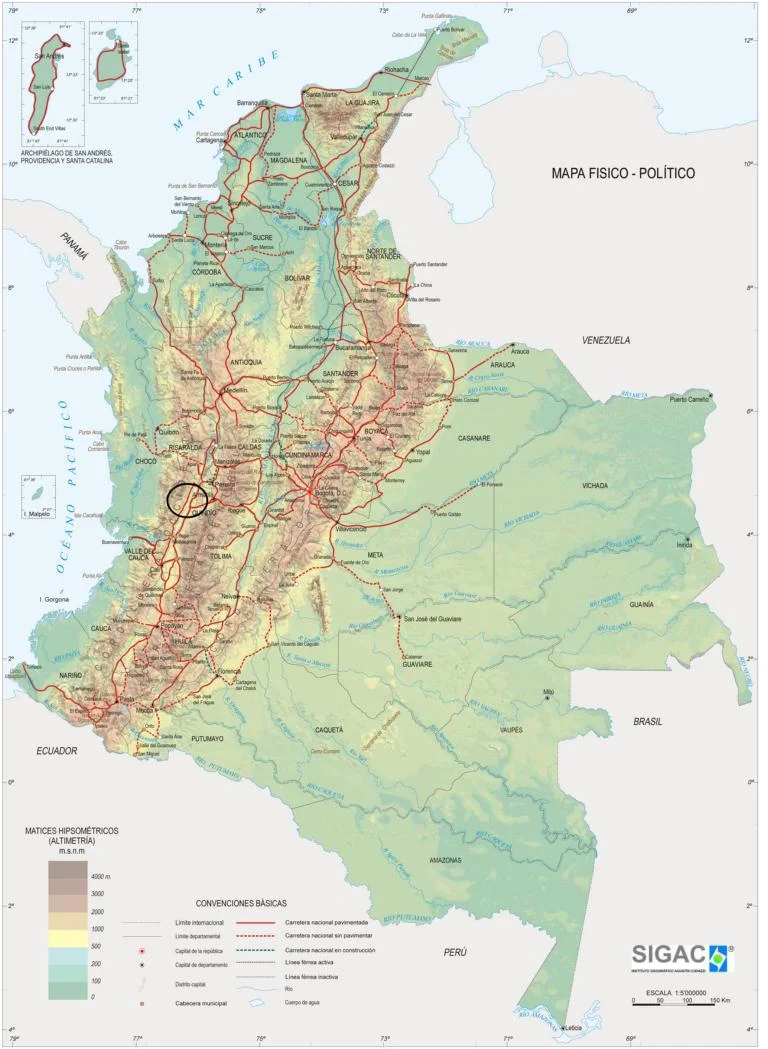
With 1.14 million km2 and 49.5 million inhabitants Colombia is the forth largest economy in Latin America. Besides Spanish there are 68 ethnic languages. The population comprises of "86% Mestizo and White; 10.6% Black (includes Mulatto) and 3.4% Amerindian" (Wikipedia). Colombian territory encompasses Amazon rainforest, Cordelliera de los Andes, tropical grassland and Caribbean and Pacific coastlines. Ecologically, it is one of the world's 17 megadiverse countries, and the most densely biodiverse of these per square kilometer (Wikipedia).
After decades of a low-intensive civil war between government troops, right-wing paramilitaries and left-wing guerilla movements Colombia currently is implementing a difficult peace process.
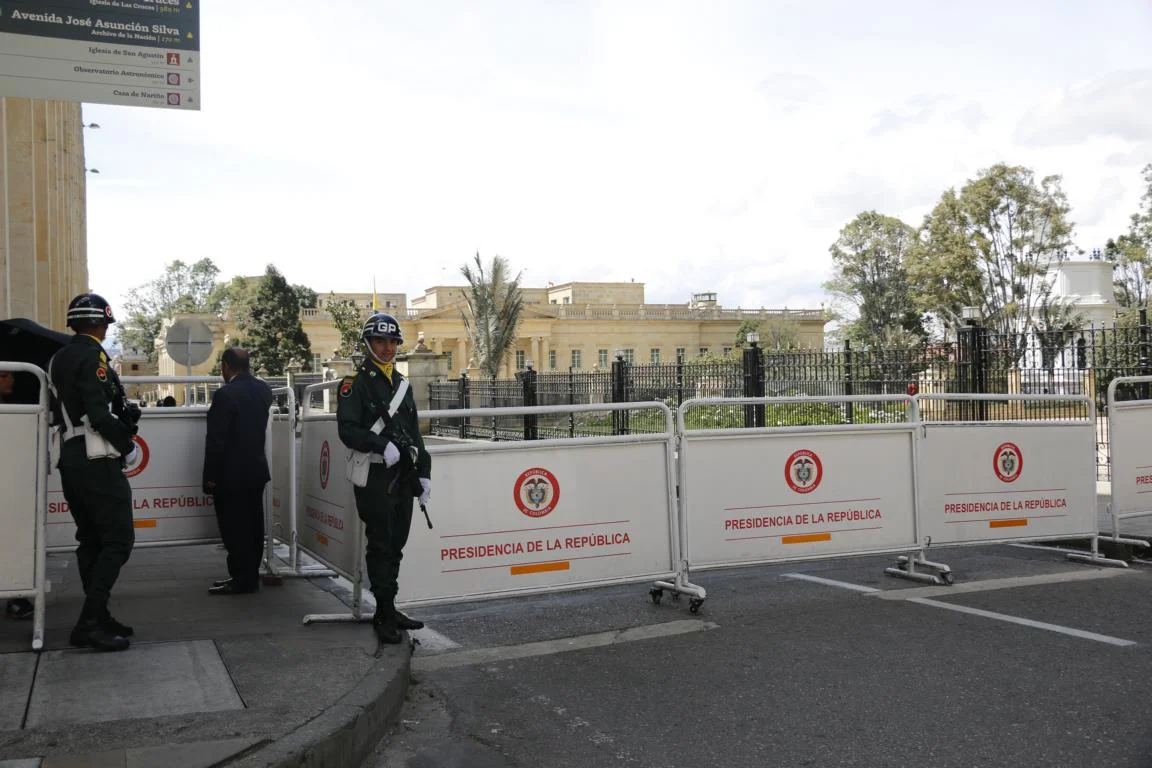
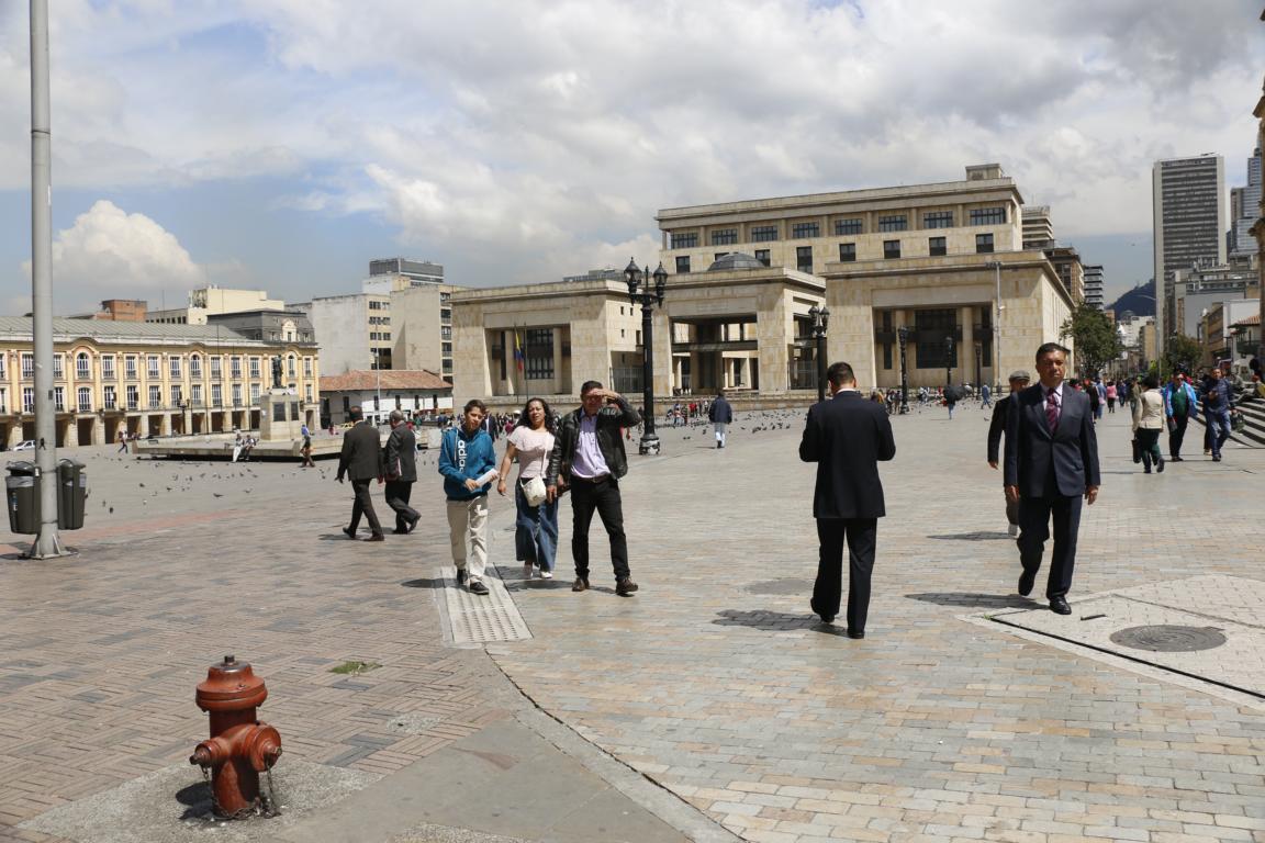
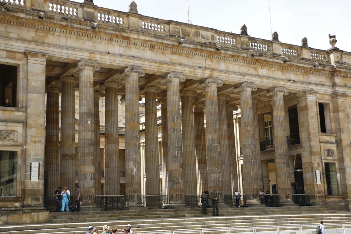
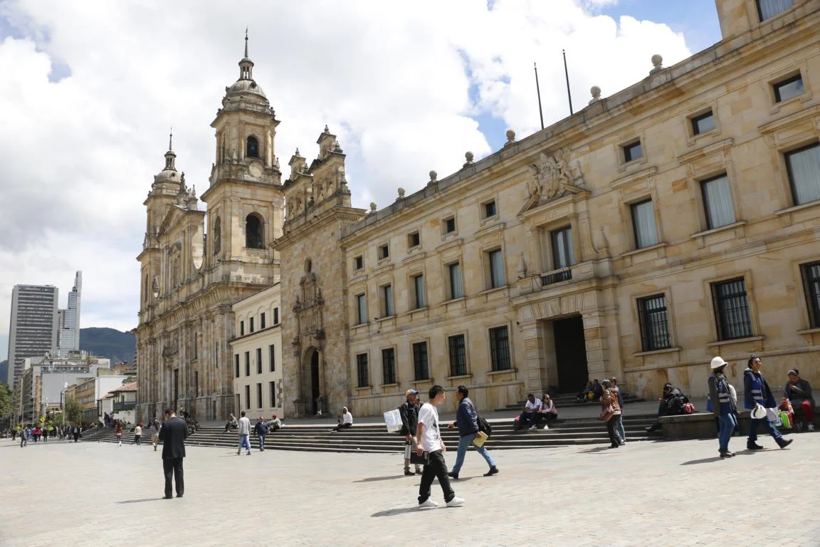
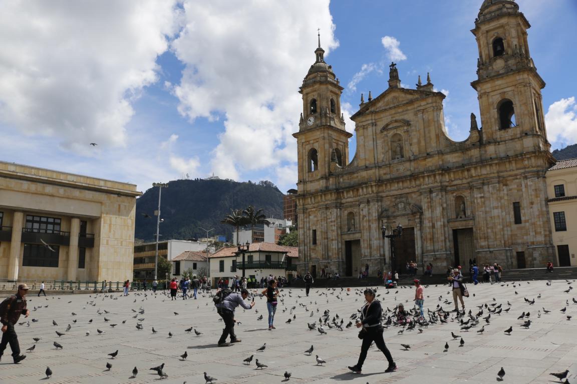
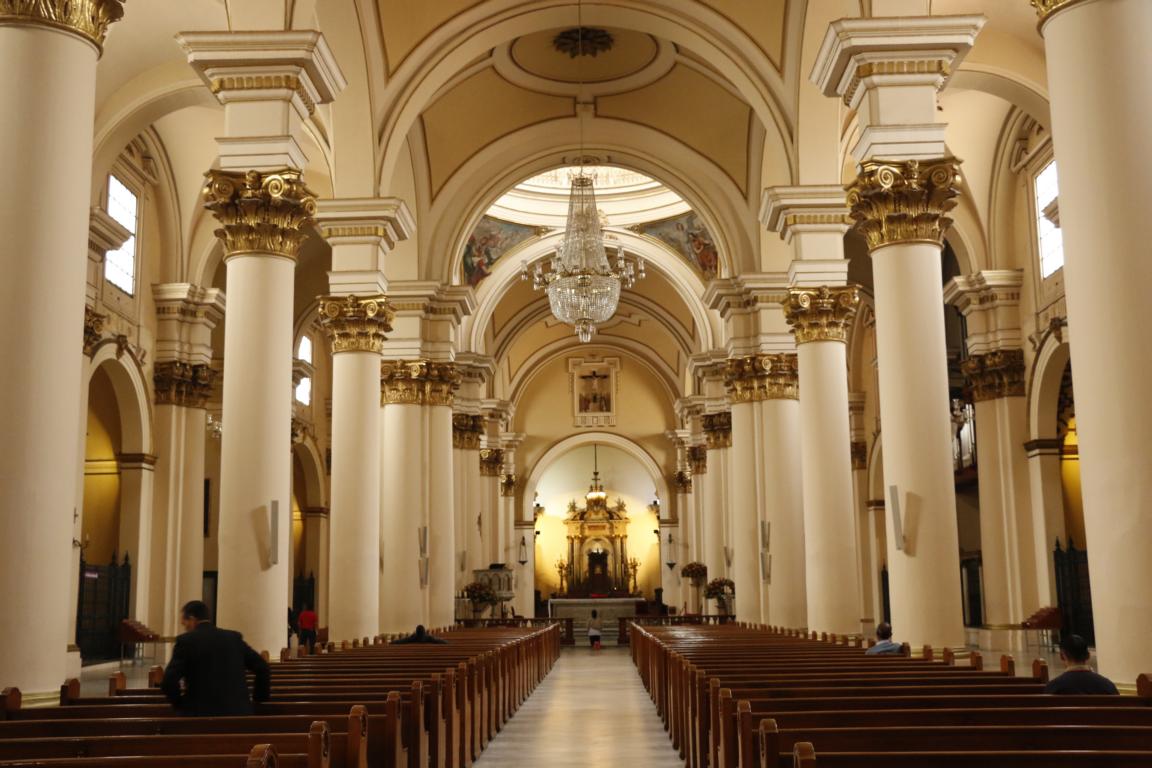
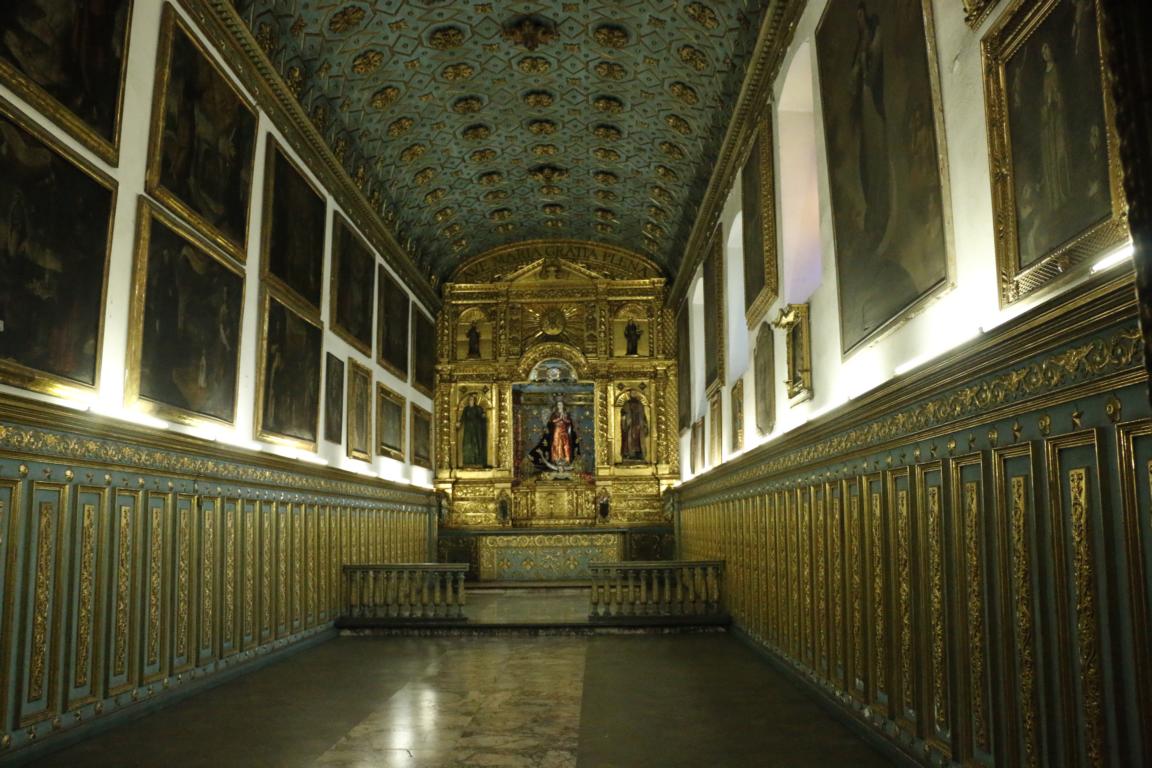
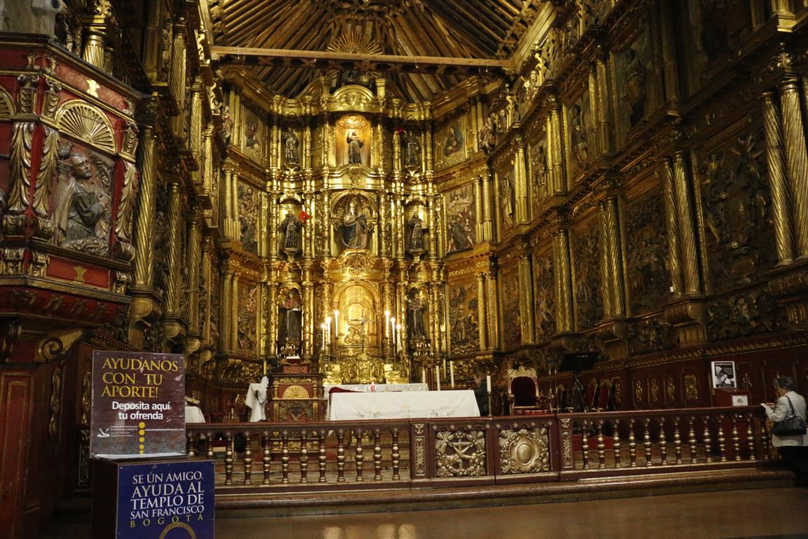
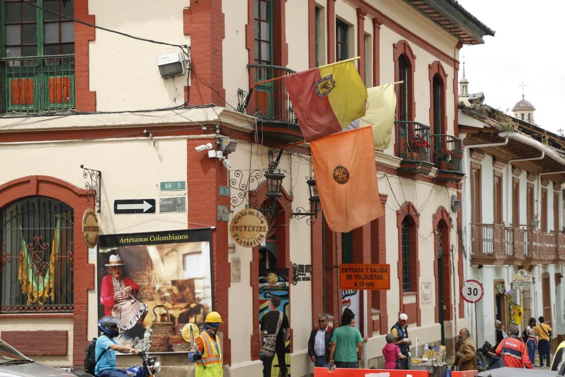
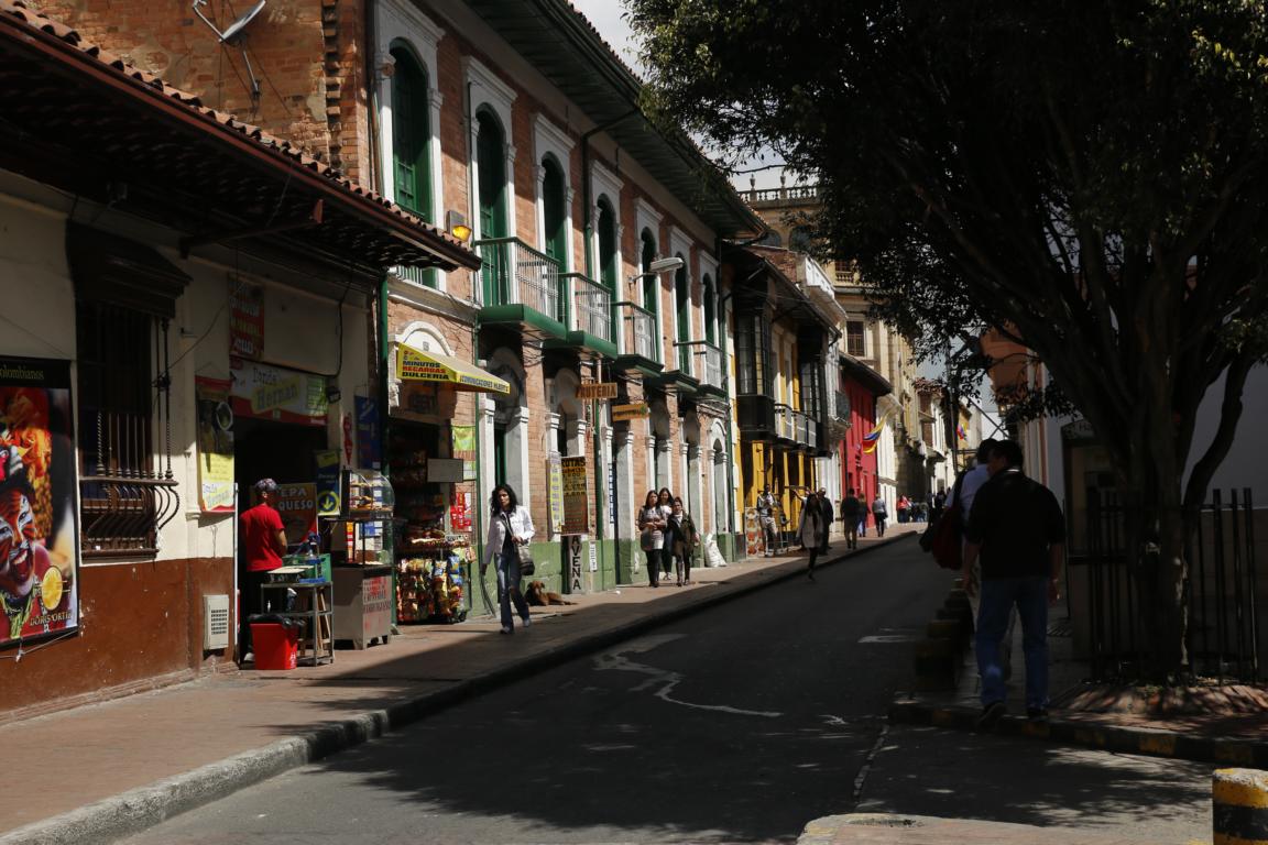
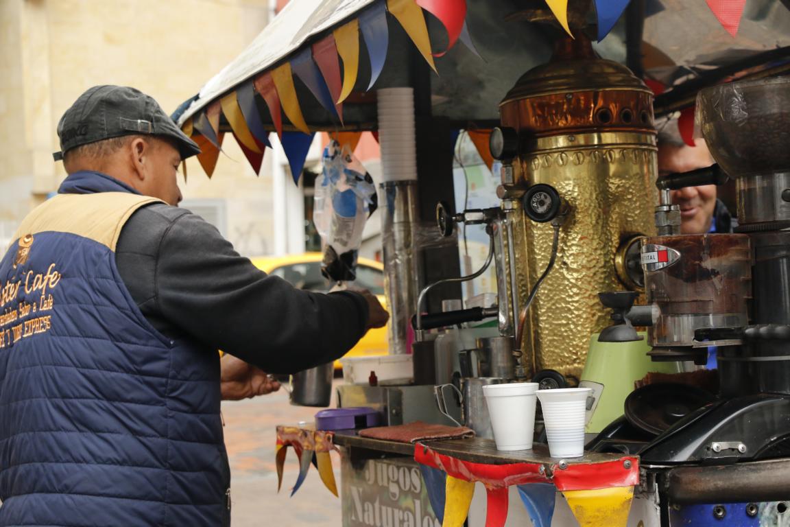
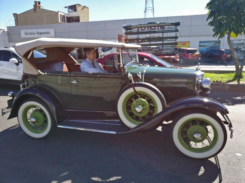
The capital Bogota (8 mill. inhabitants), located in the central highland at 2,600m, during the colonial period was one of the three central Spanish administrative centers besides Mexico and Lima. Pictures show Bogota’s old center, administrative buildings around the Plaza Bolivar and some of the many churches. Colombia’ coffee beans are considered to be among the best in the world.
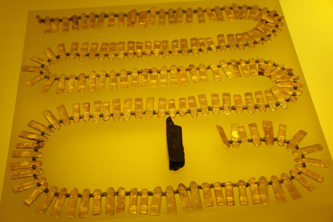
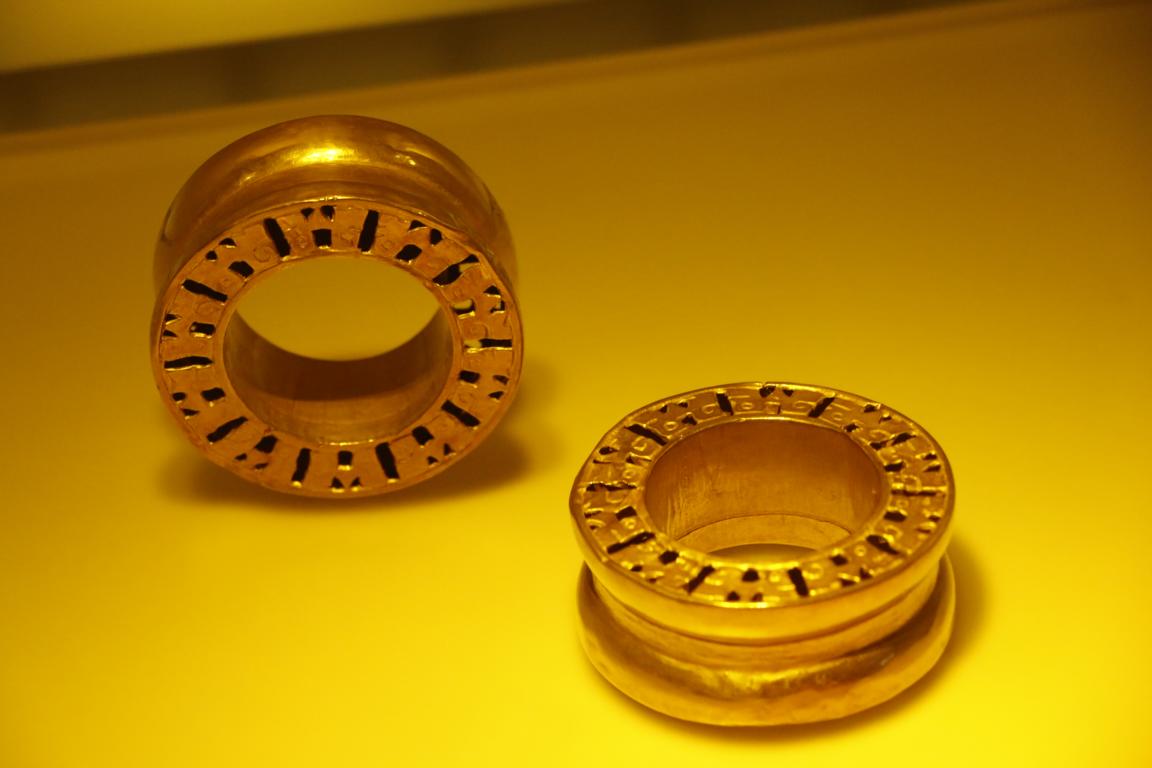
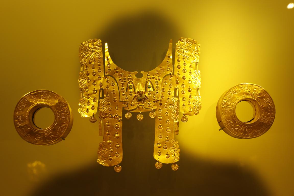
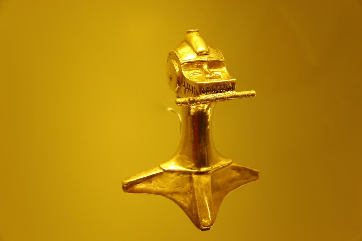
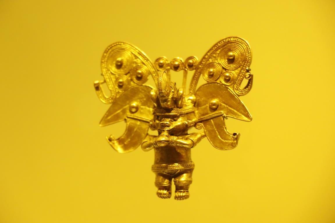
The famous Museo de Oro (Gold Museum) displays one of the greatest exhibitions of gold artifacts in Latin America.
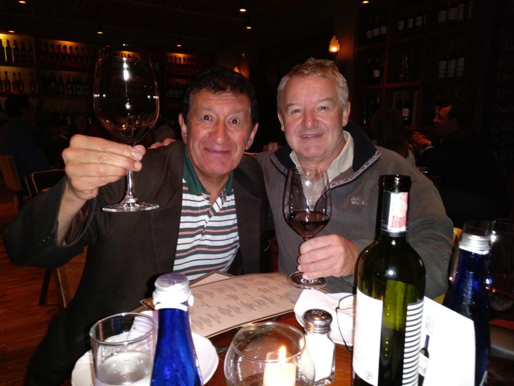
In Bogota I met a Colombian friend from university time in Linz / Austria, Luis Eduardo Castro Zea, which I had not seen for 35 years. We played in the same football team and even found a picture showing how we looked like in 1976.
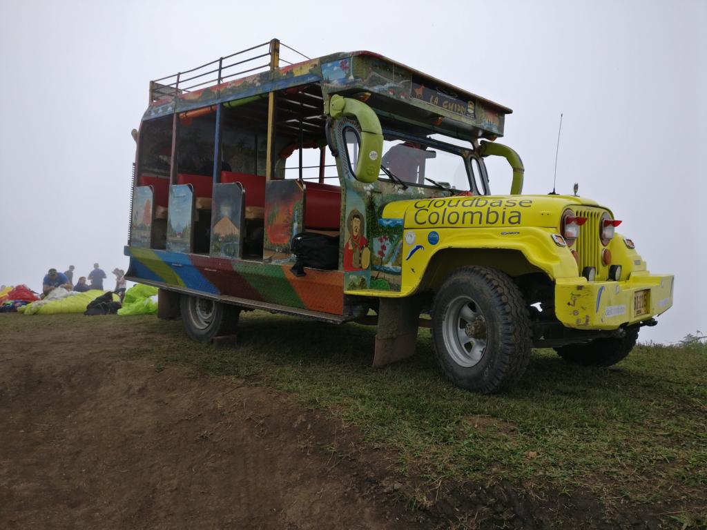
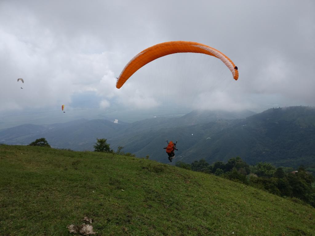
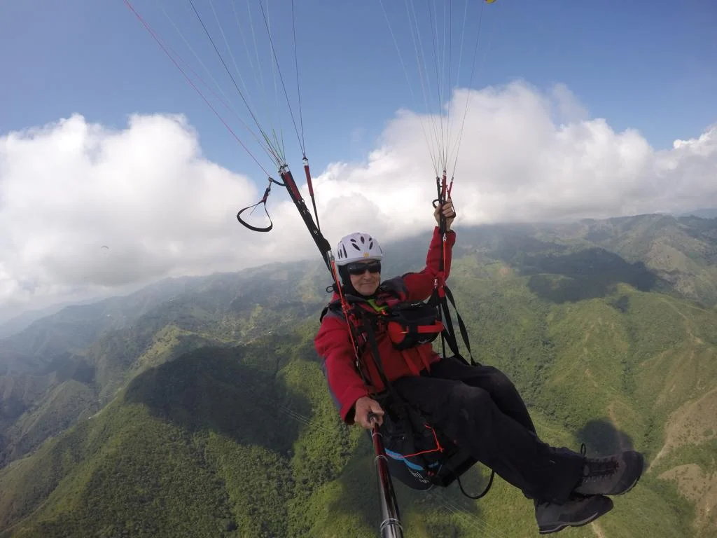
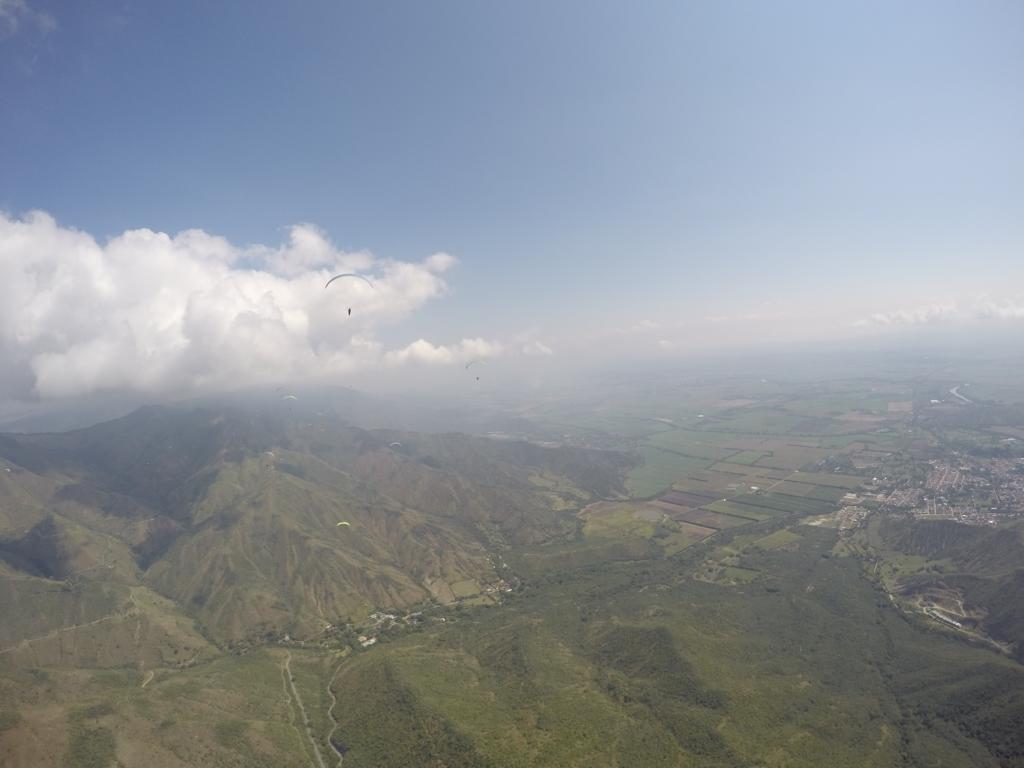
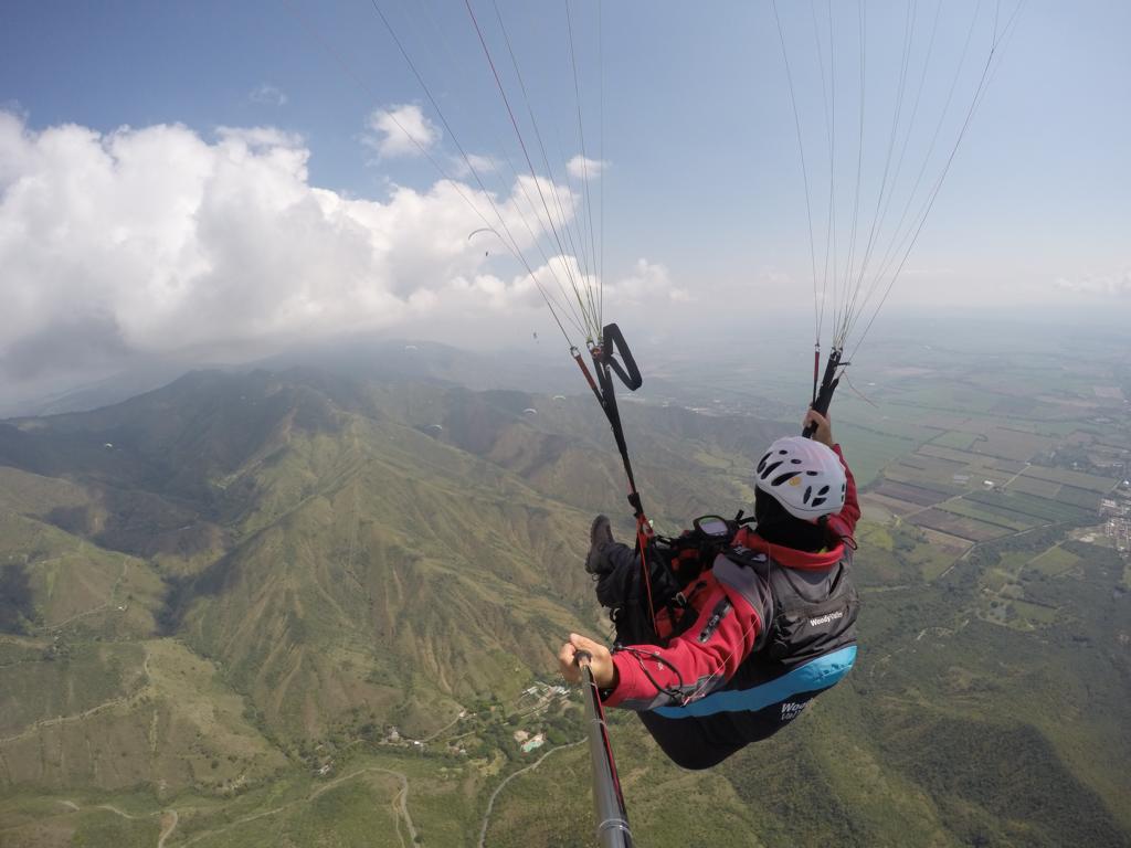
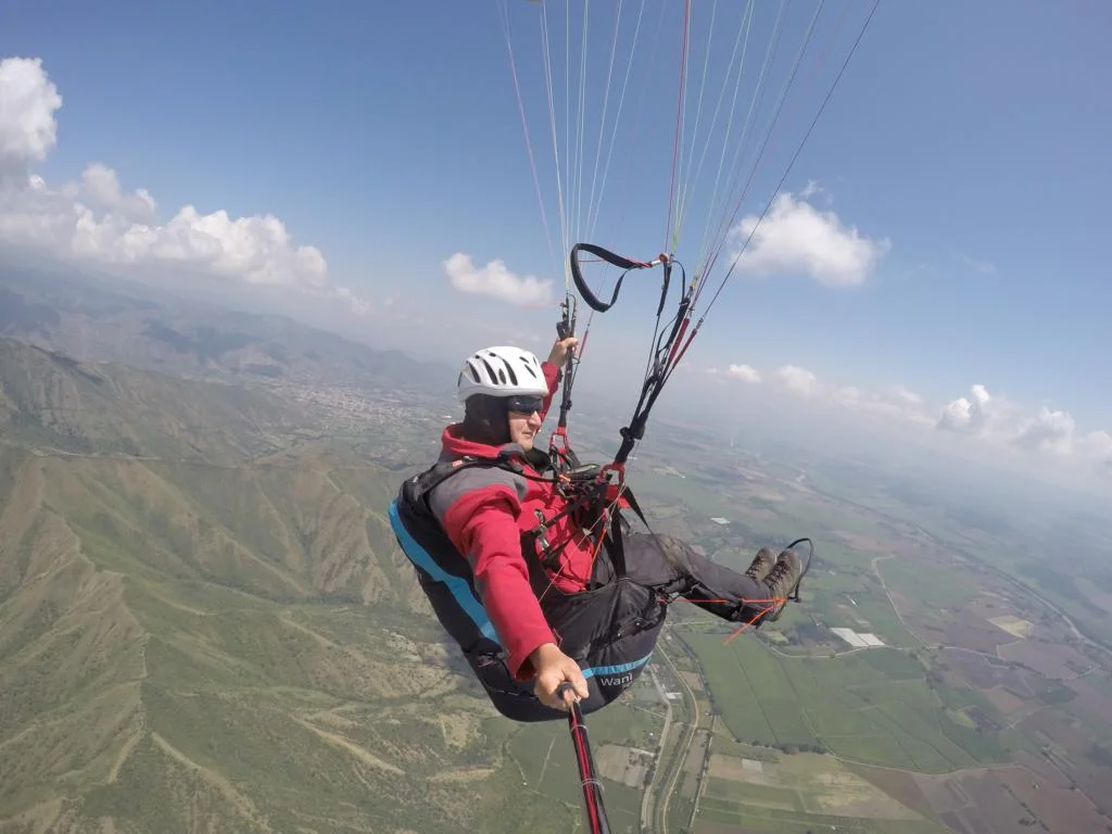
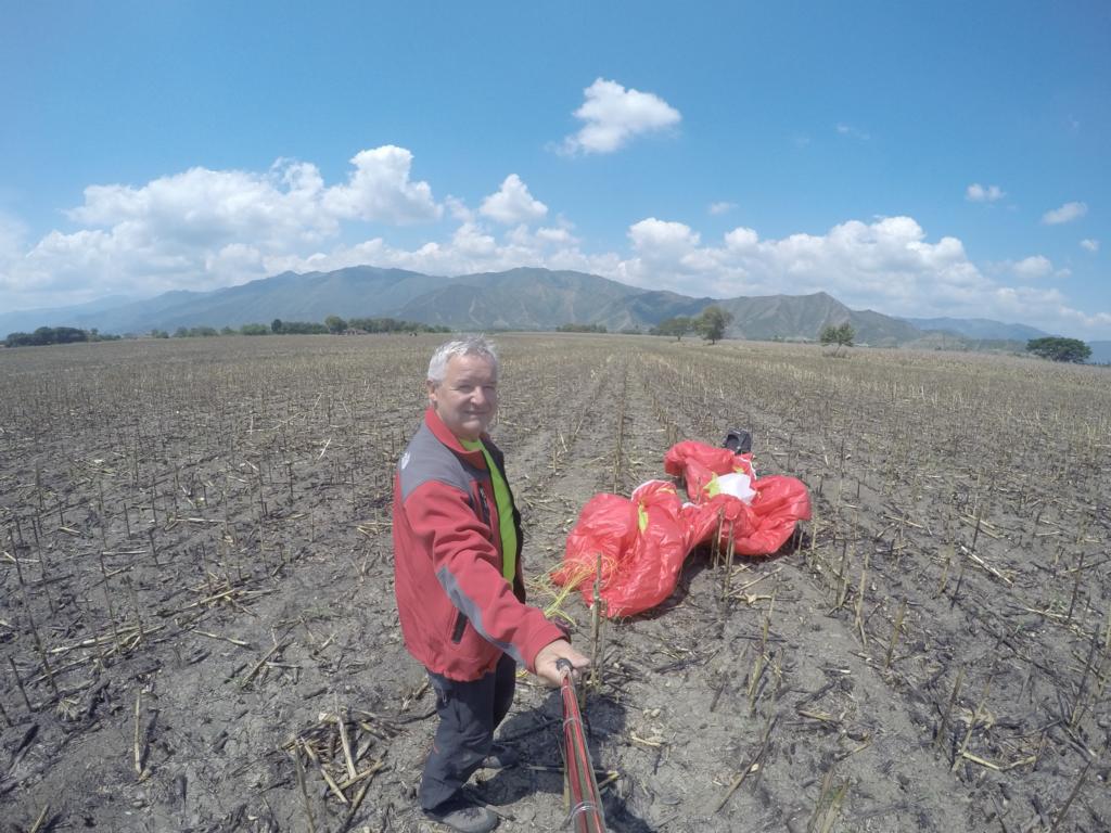
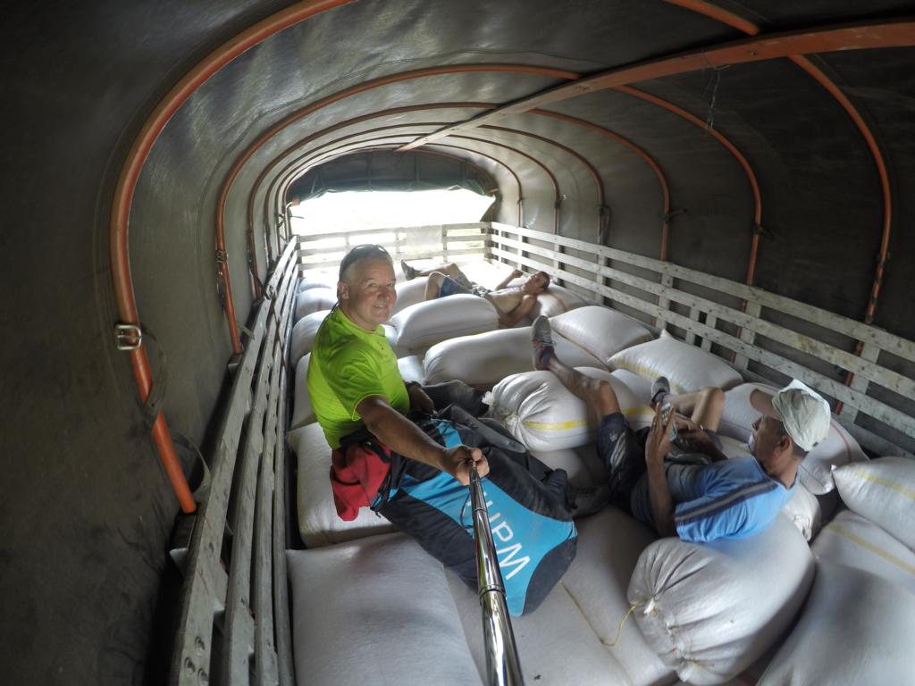
Colombia holds several first-class paragliding sites. I made several cross-country flights in Roldanillio. Photos show a planned triangle-flight which prematurely ended in a corn-field after one hour when I tried to cross the valley. Returned on the back of a truck which carried tons of corn.
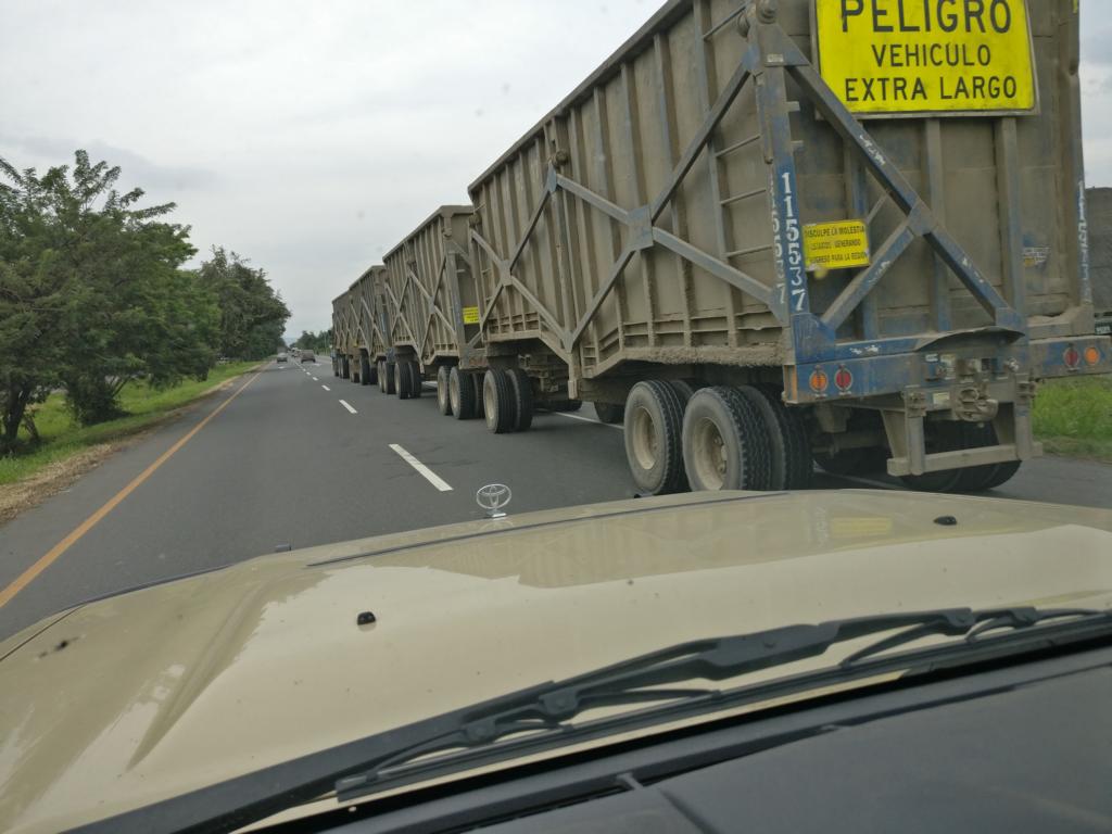
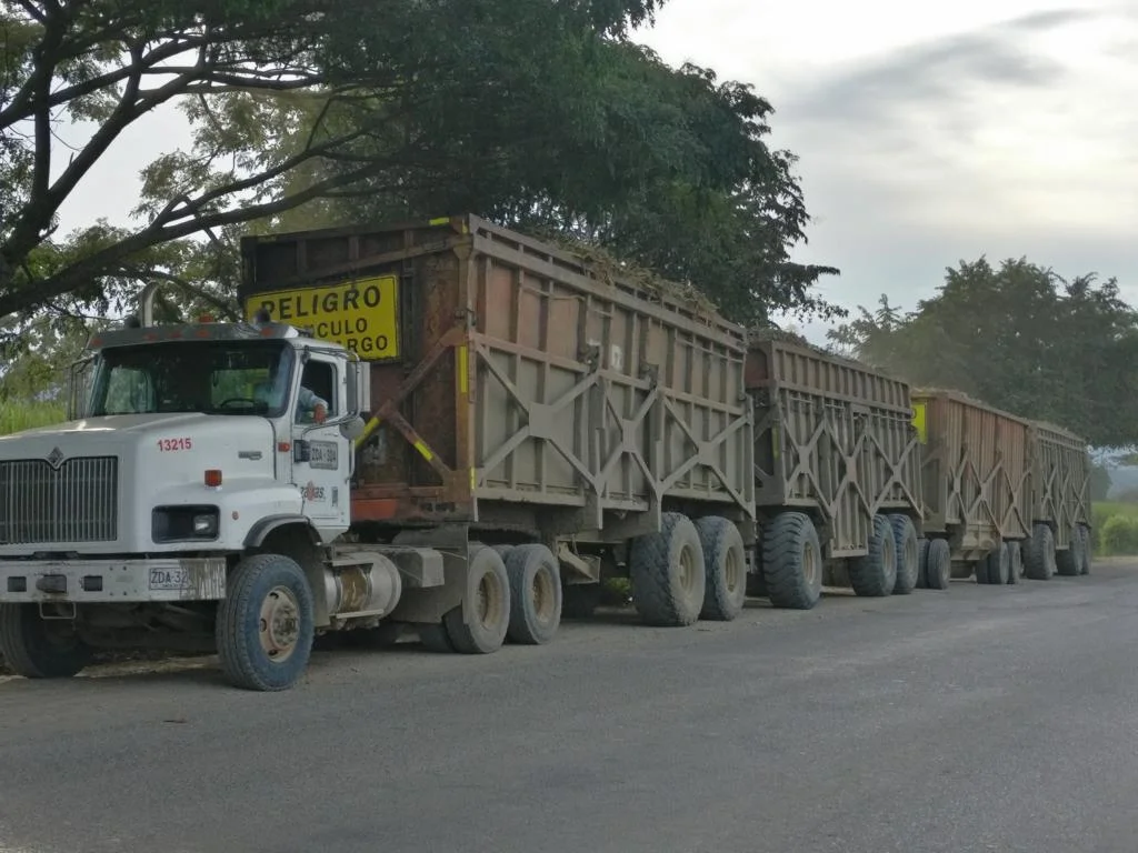
Colombia is a major producer of sugar cane which is transported for processing in a long chain of trailers.
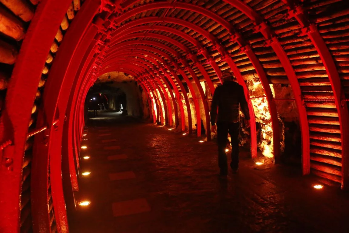
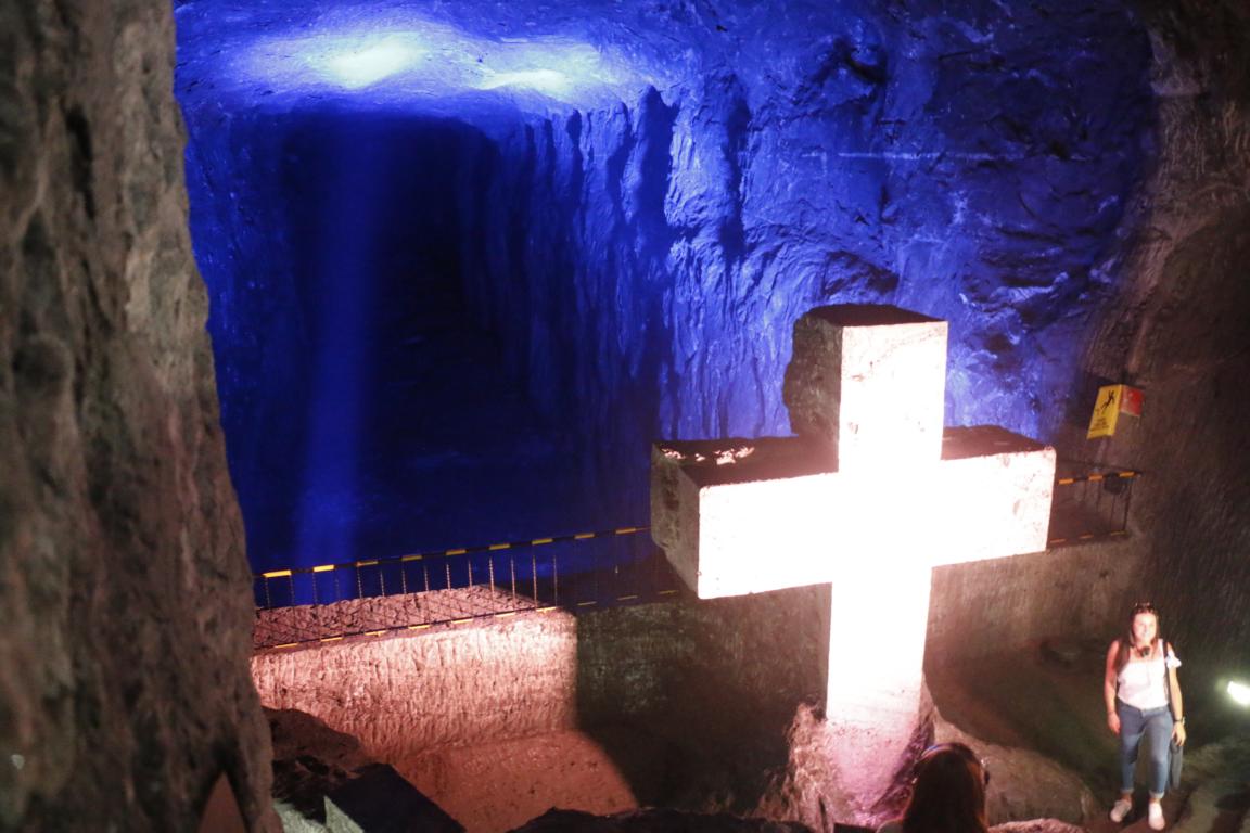
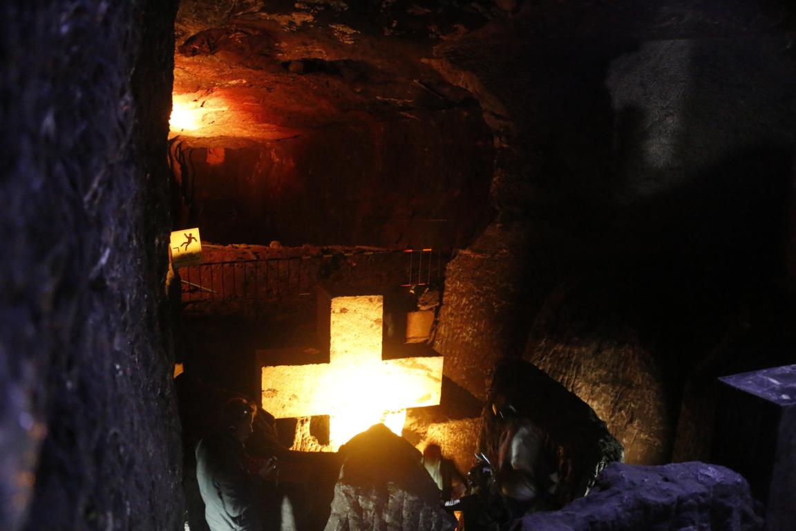
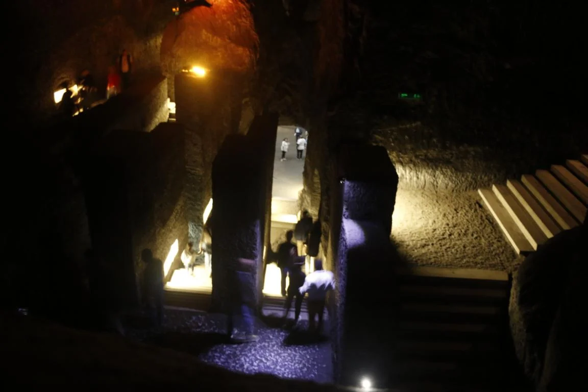
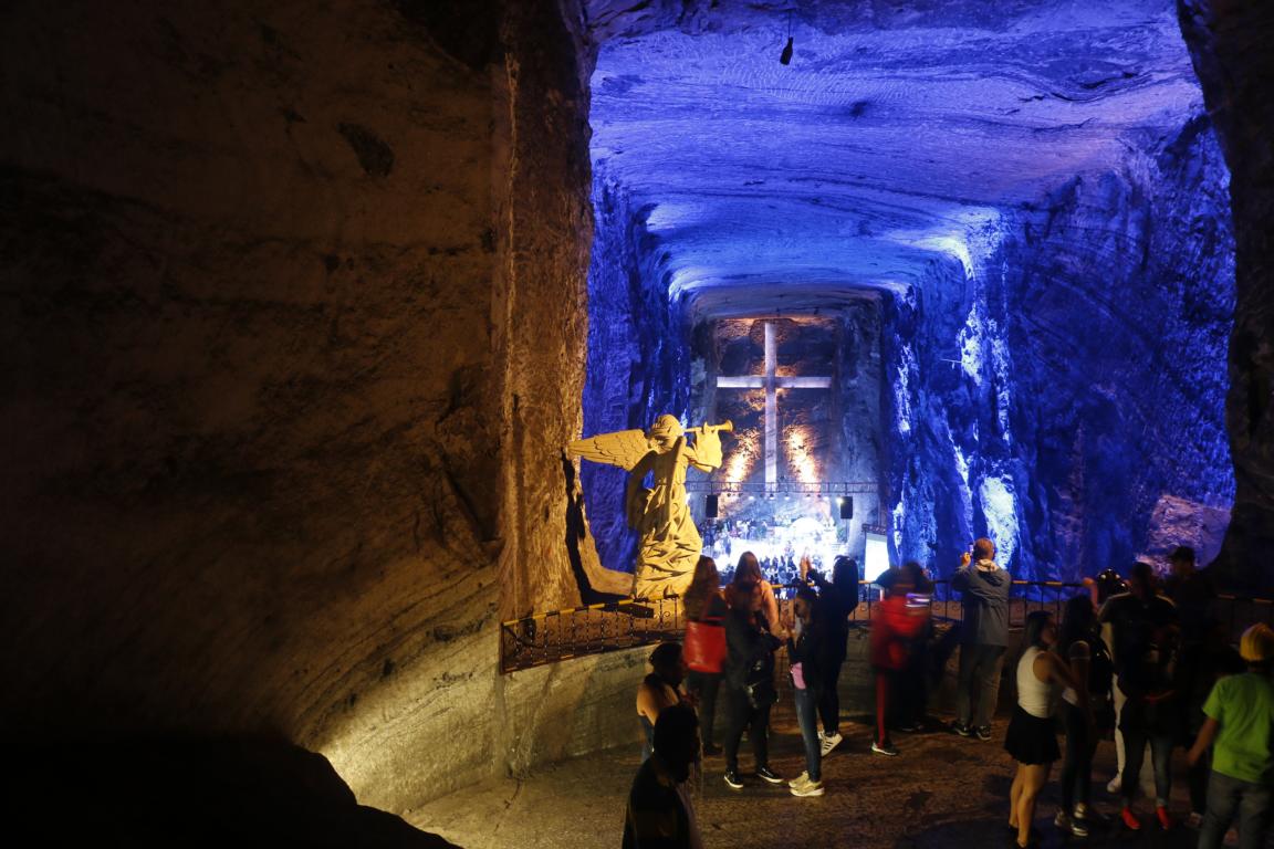
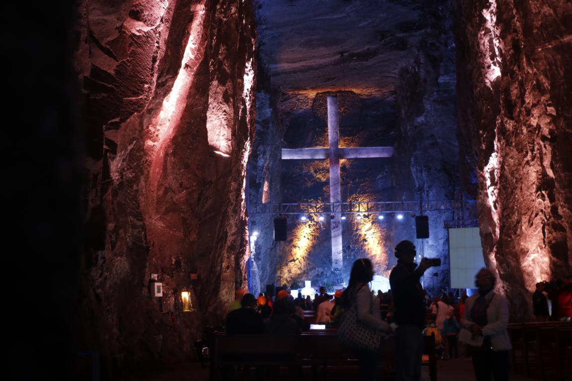
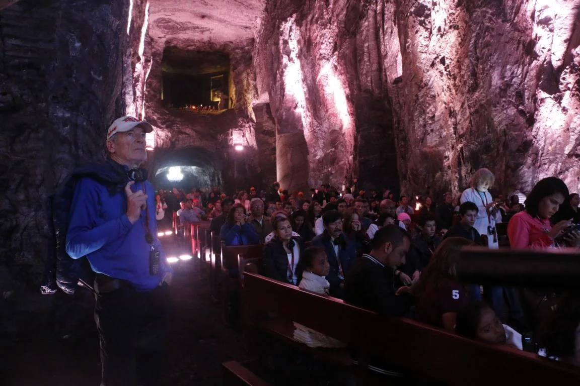
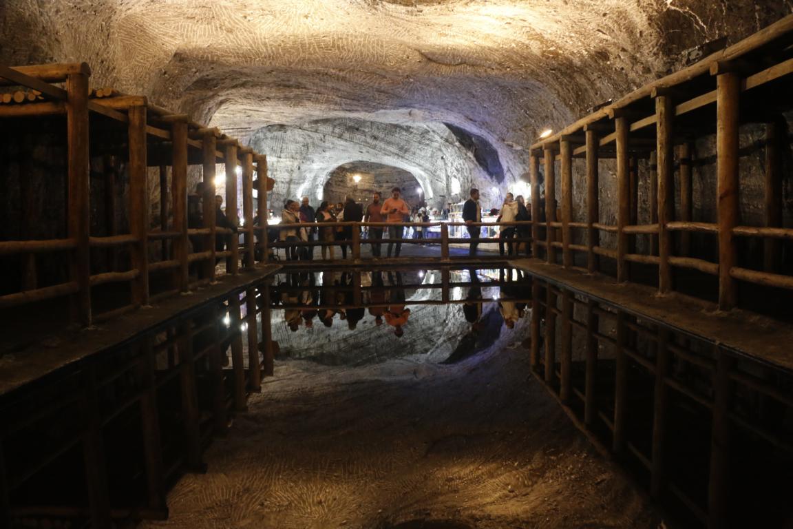
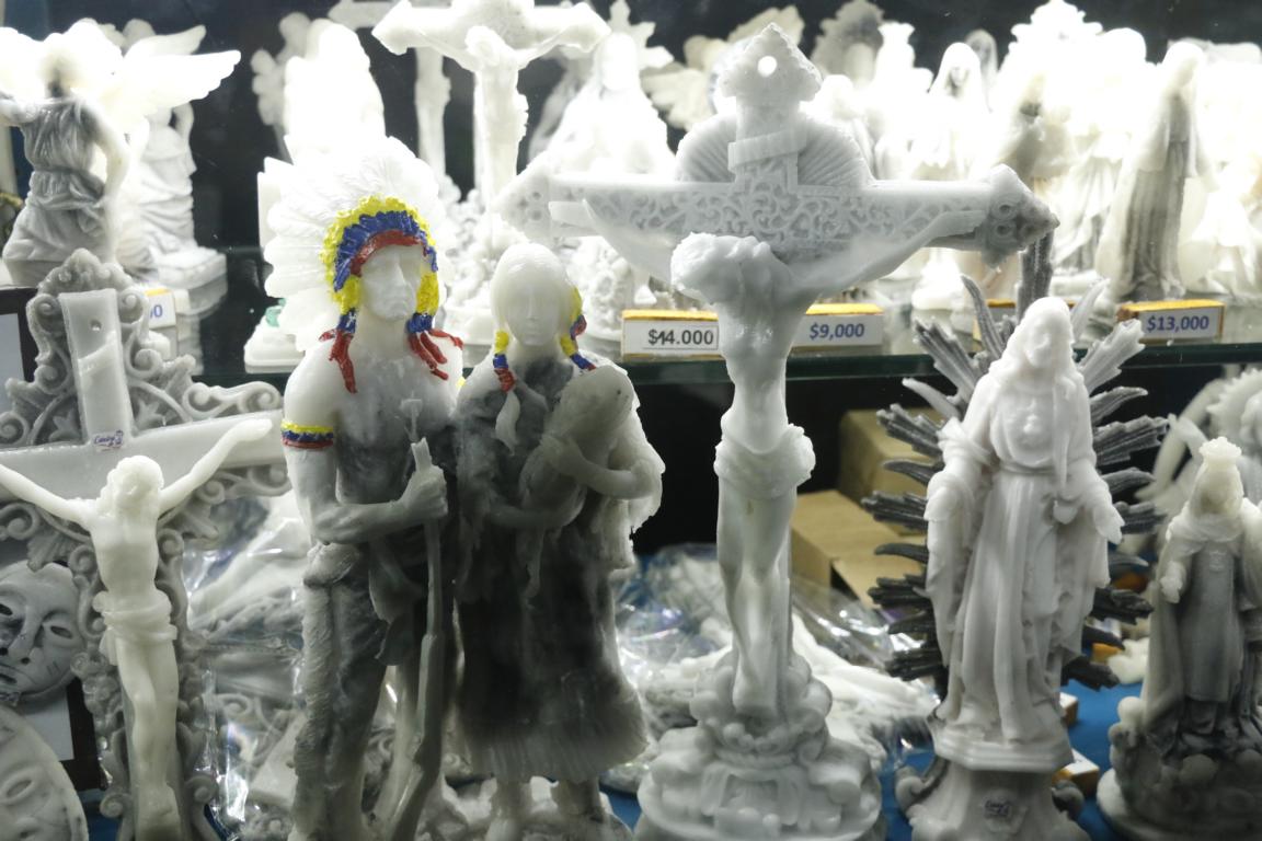
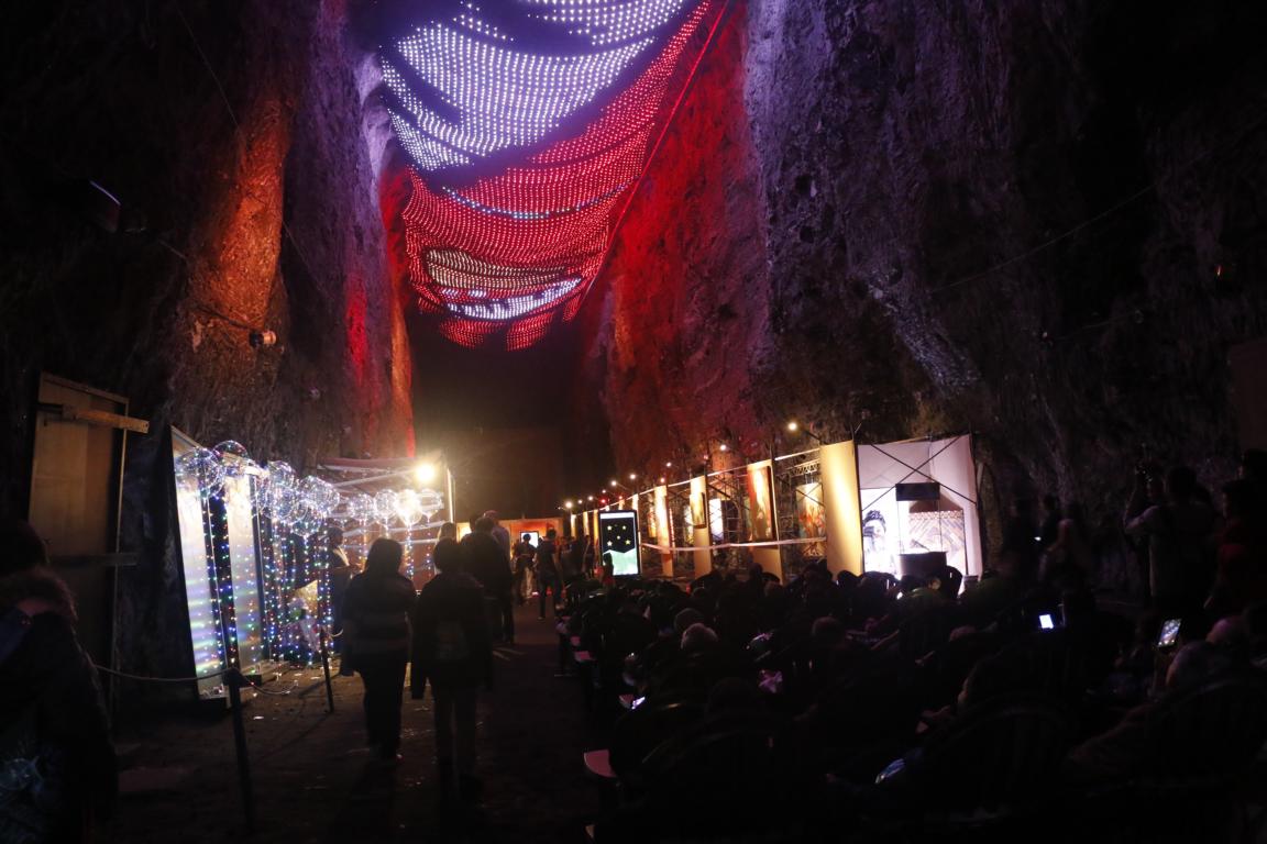
Although I am not a religious person a visual high-light of the journey through Colombia was the visit to the Salt Cathedral of Zipaquirá, 50 km north of Bogota. It is an underground church built in an old salt mine some 200 m below the surface. It consists of a way of the cross, and several big caves which function as churches and galleries. It takes one to two hours for the whole tour.
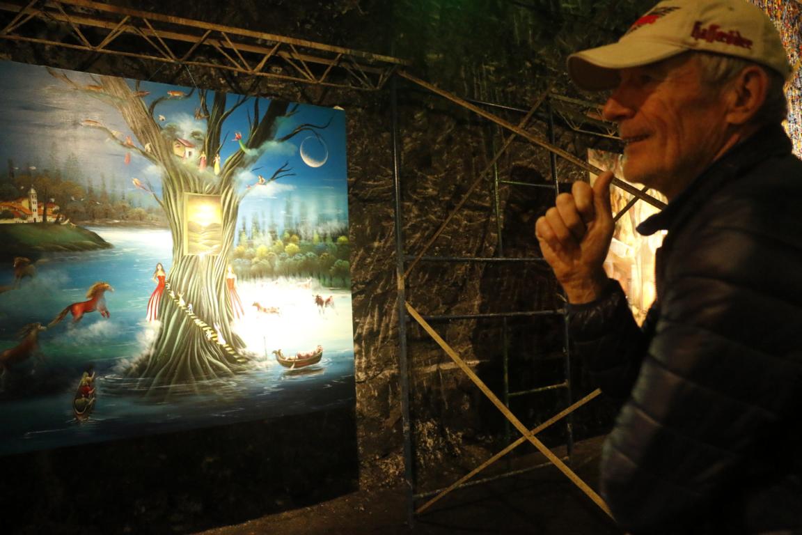
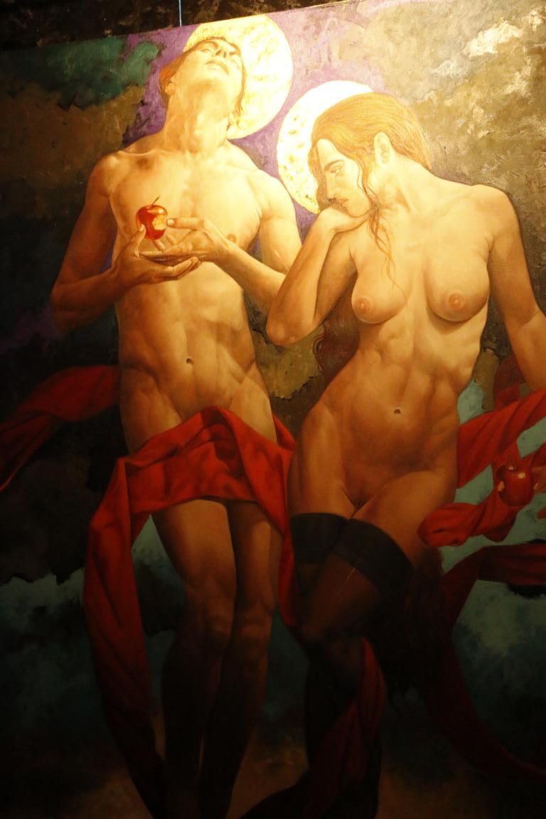
Adjacent to the salt cathedral there is an underground gallery displaying some “religiously not-so-correct” paintings.
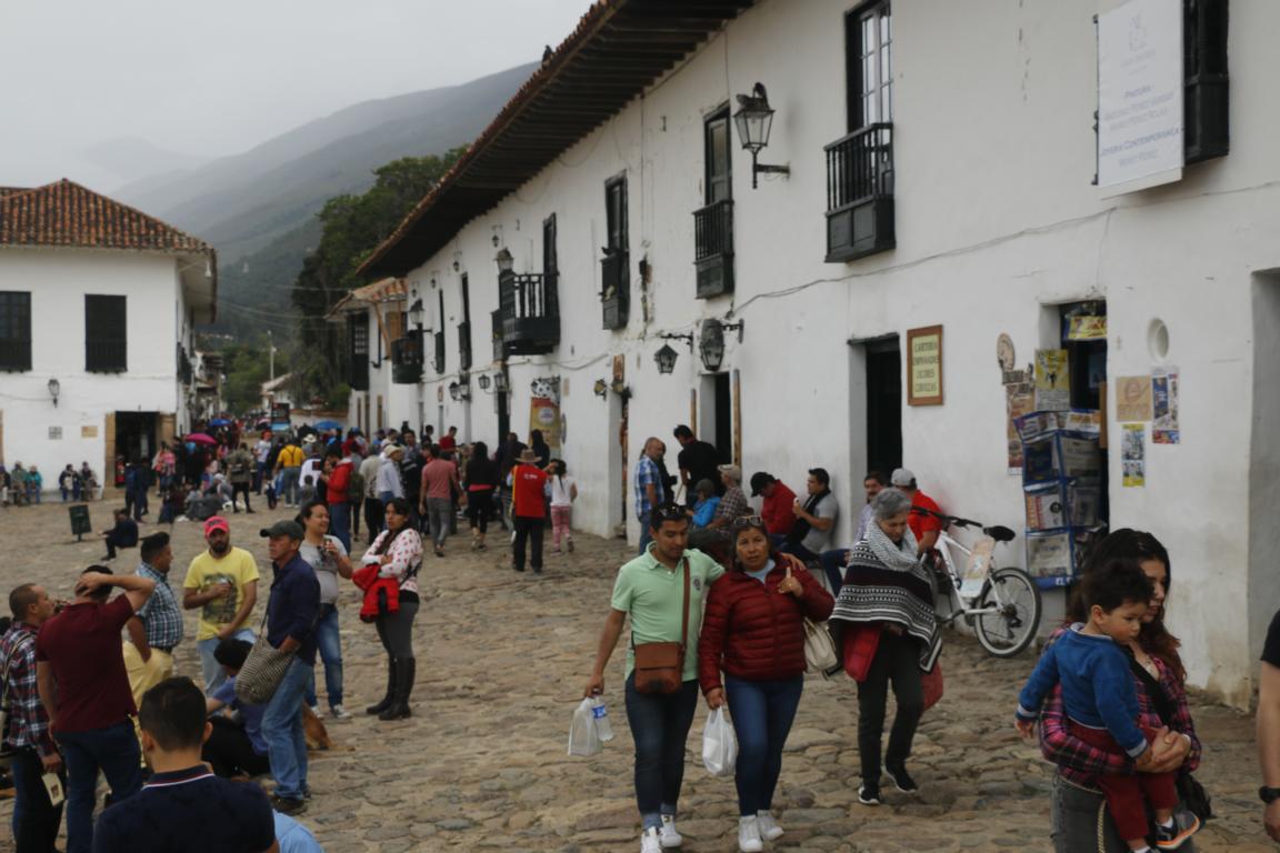
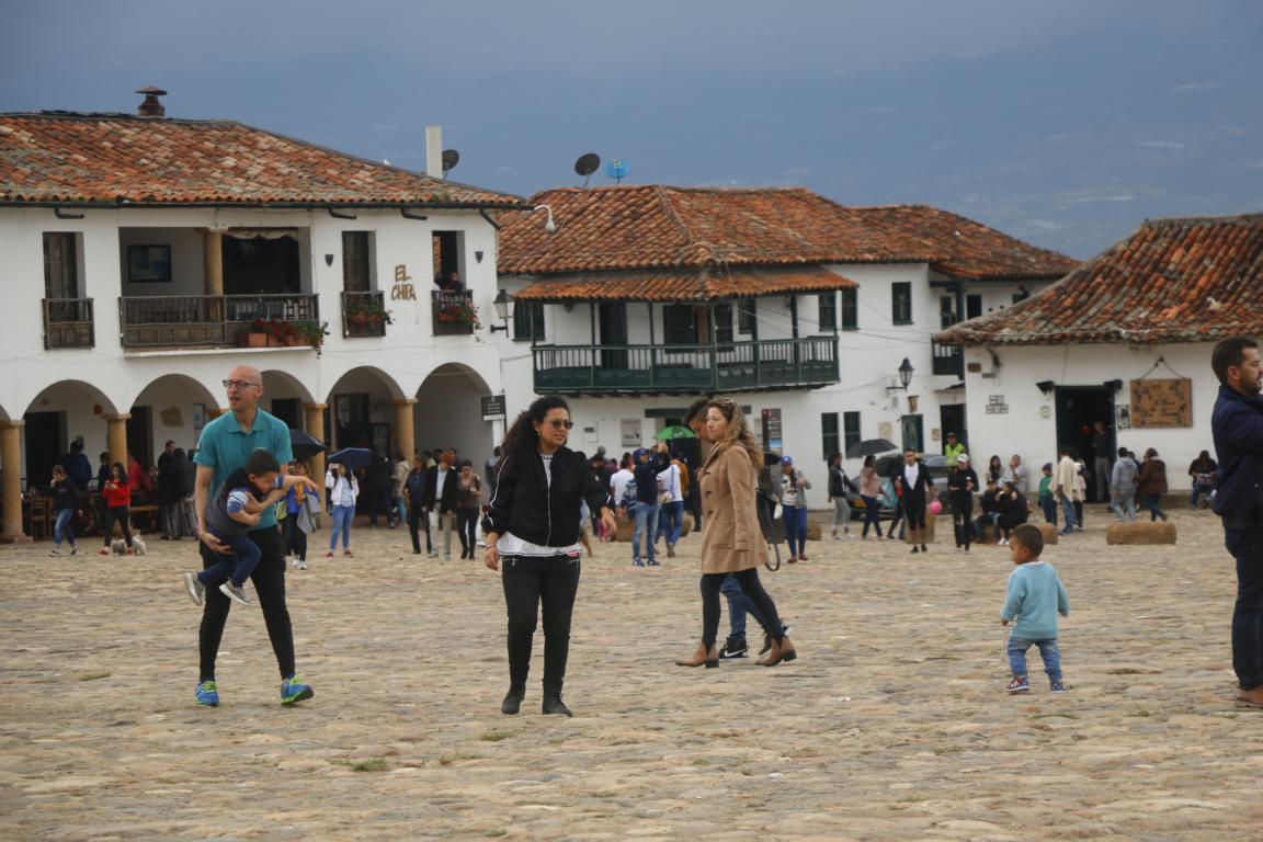
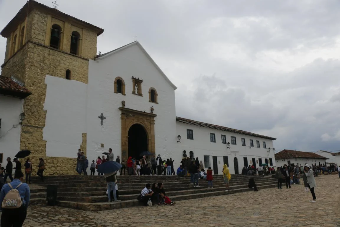
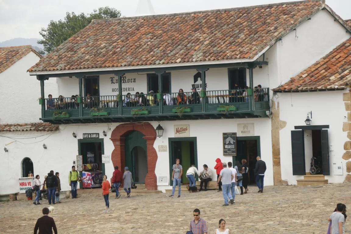
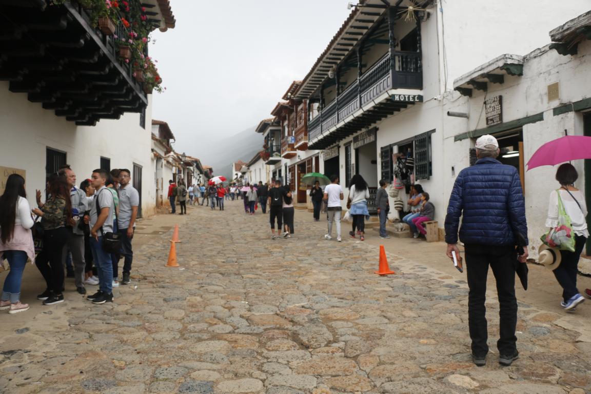
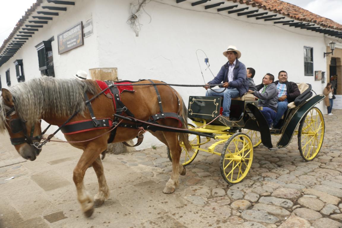
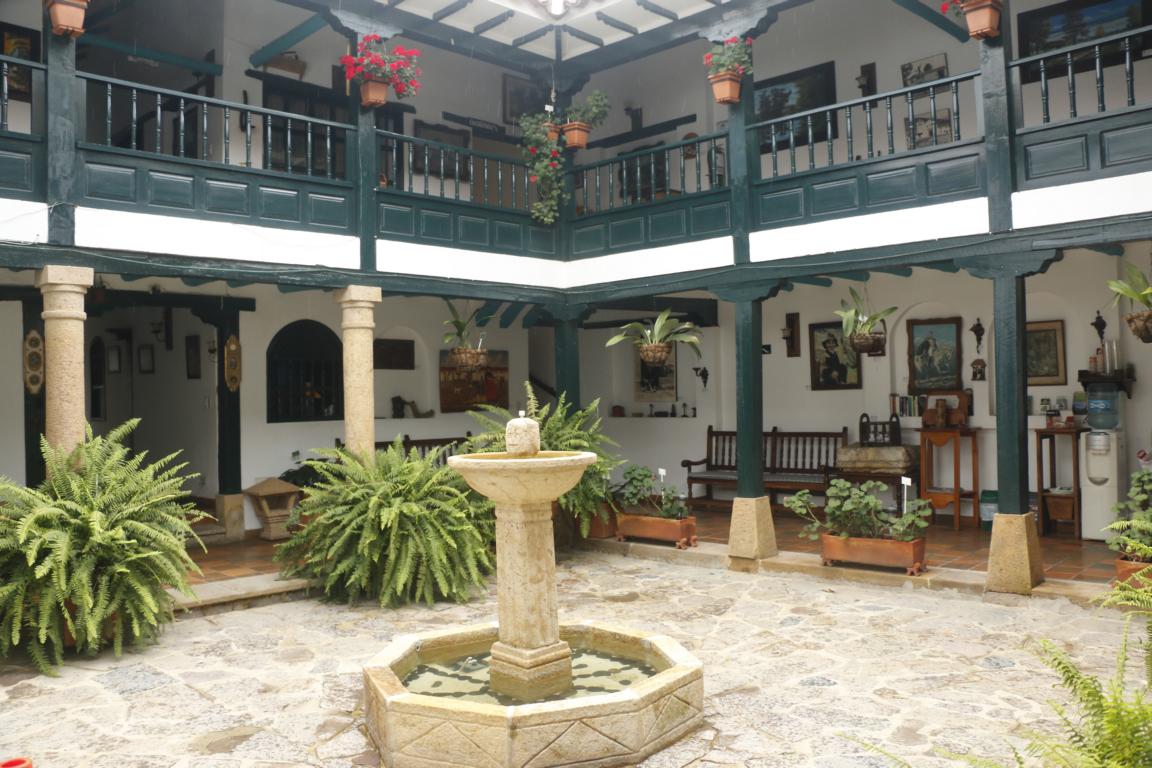
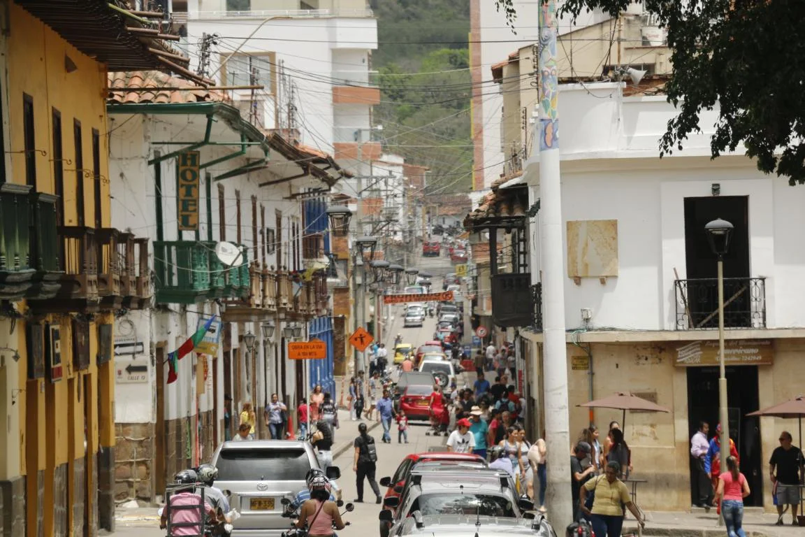
Villa de Leyva is the town where 200 years ago the first Columbian constitution had been written. Today the town is a major tourist attraction as its historic center is still as it was at that time.
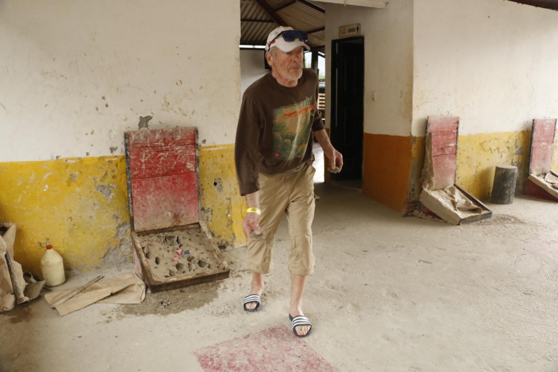
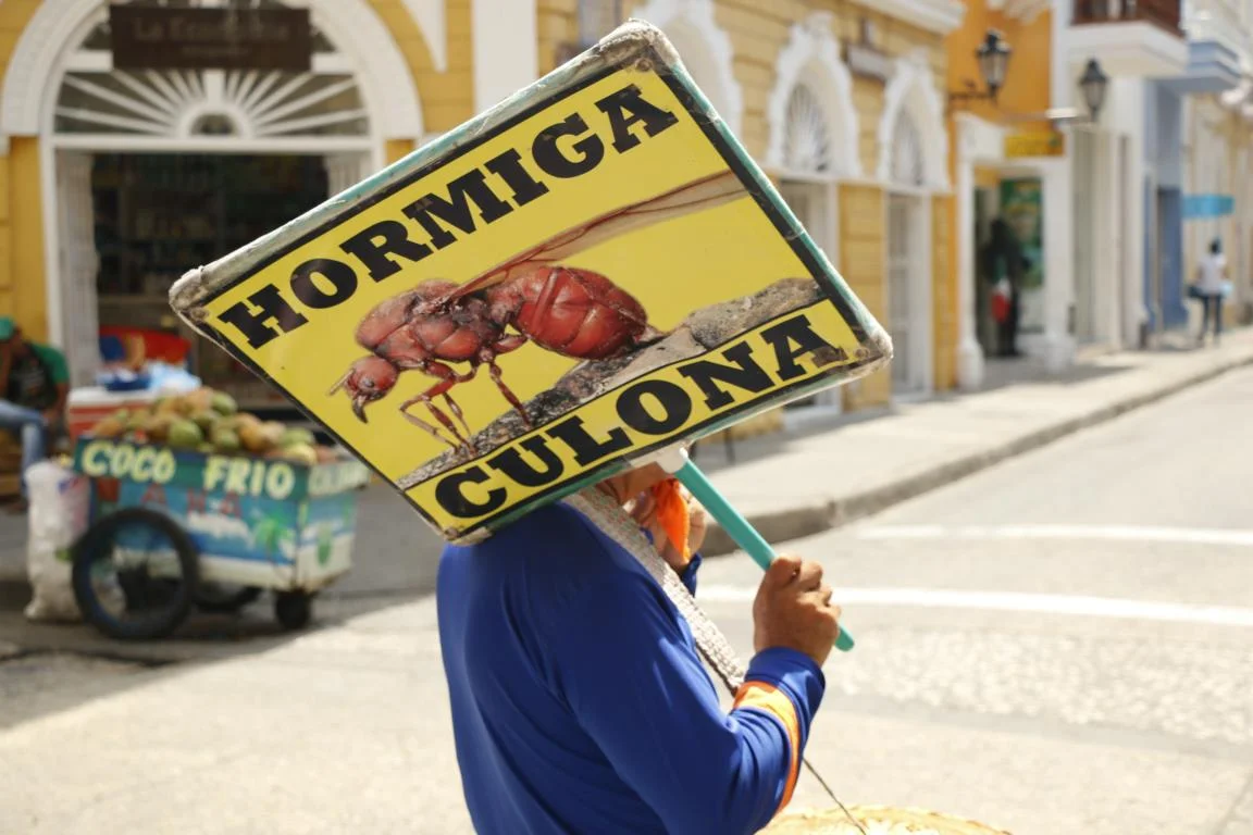
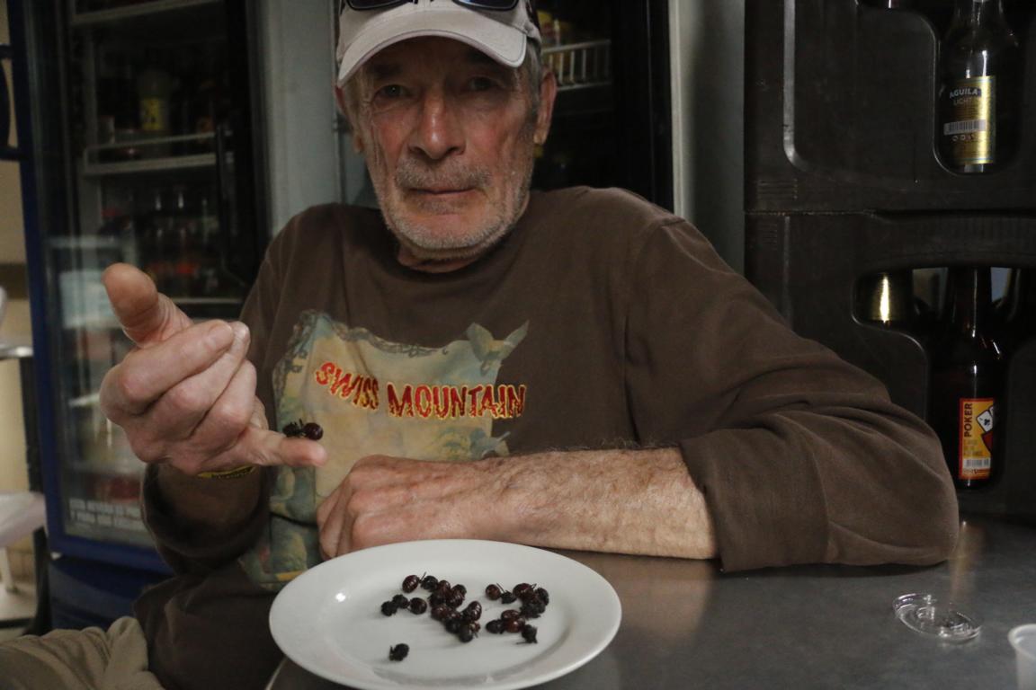
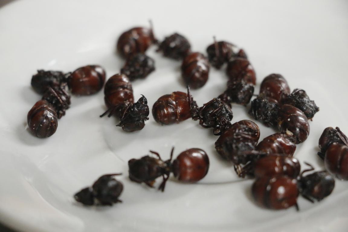
San Gil is a mayor outdoor center (rafting, paragliding…) and beyond that offers some very special attractions: Tejo is some kind of bowling where one has to throw a metal disc some 20 meters to hit and explode a small envelope filled with gun powder. It took us more than an hour until we managed to produce the first explosion. A culinary attraction are the roasted fat-bottom ants offered in various restaurants. They are a bit crunchy and the taste mainly depends of the spices one uses.
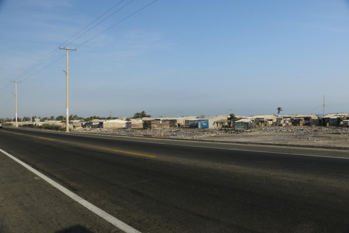
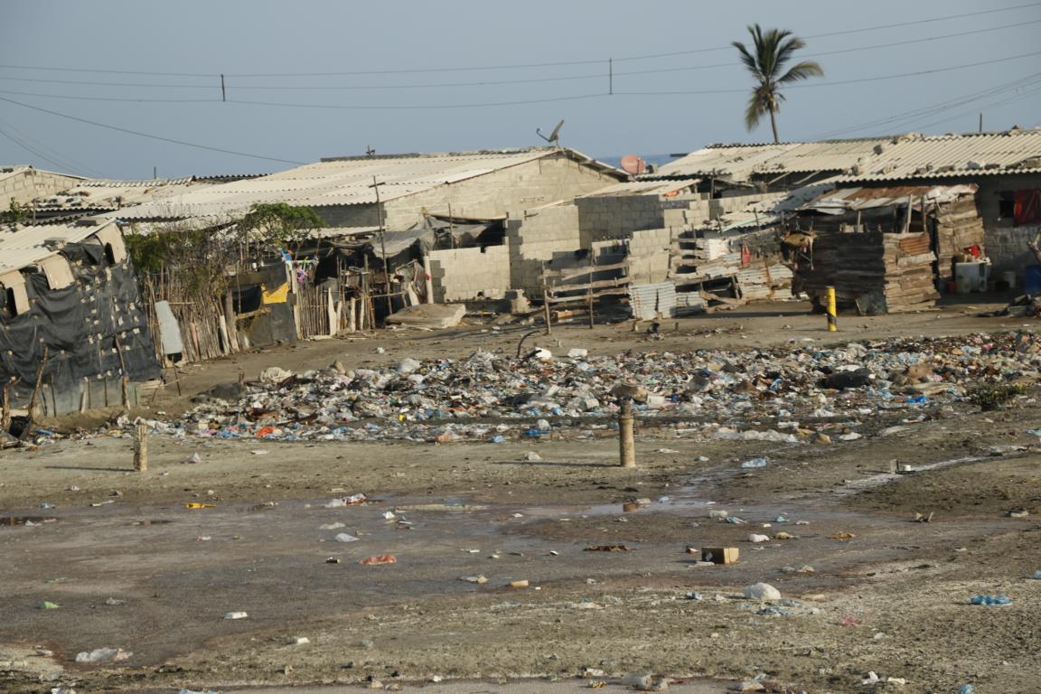
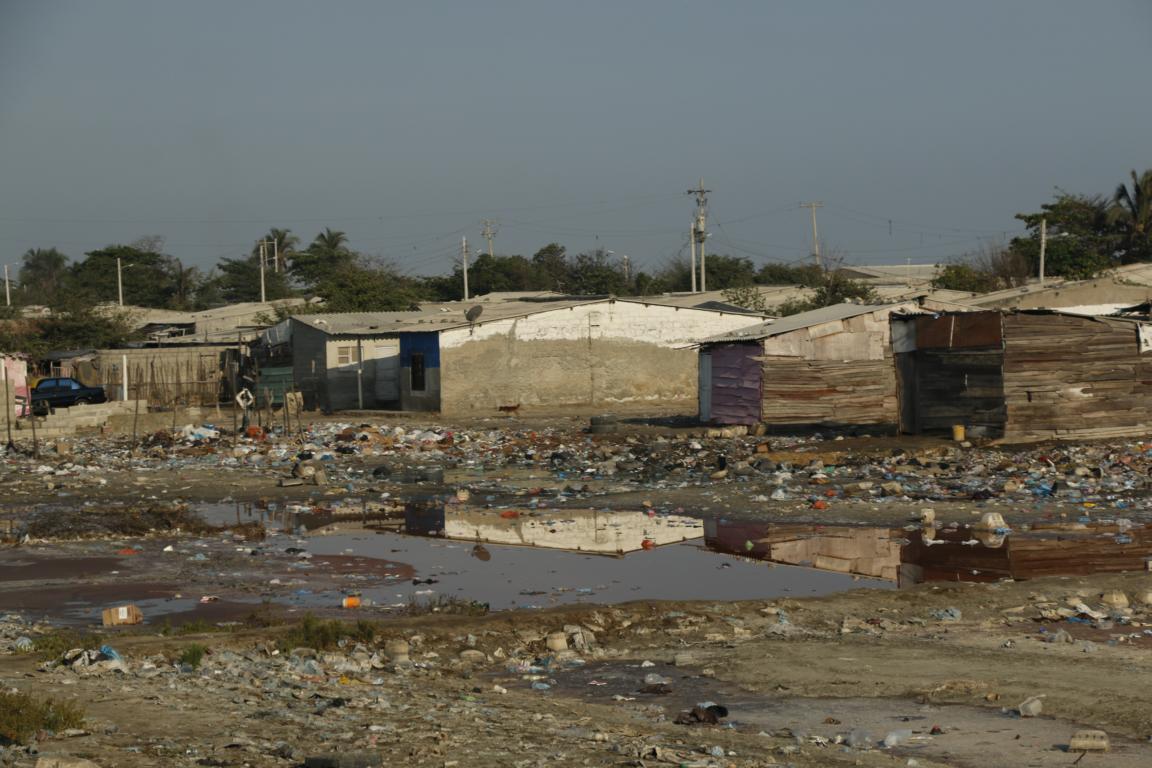
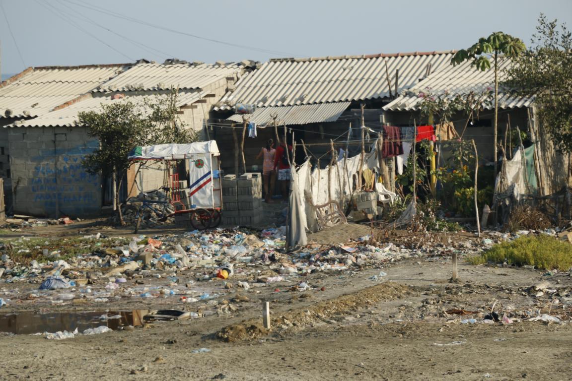
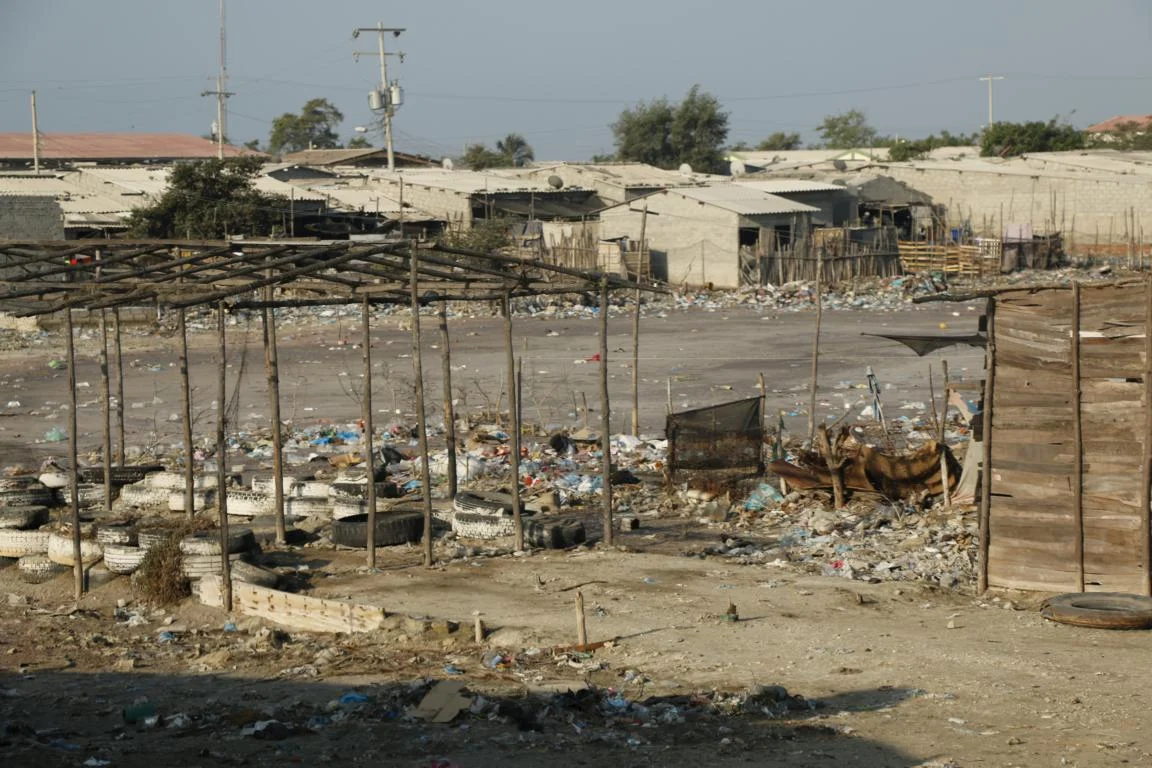
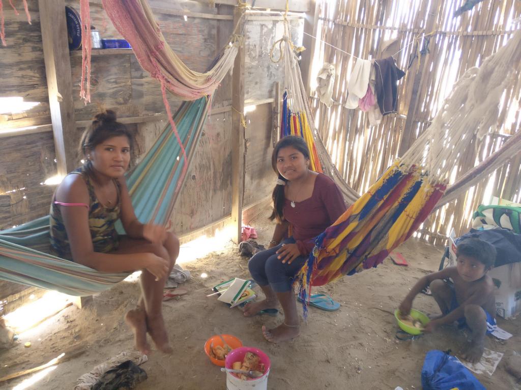
While Colombia is a middle-income country a sizable part of the population still lives in misery. Photos show a slum dwelling near Barranquilla in northern Colombia.
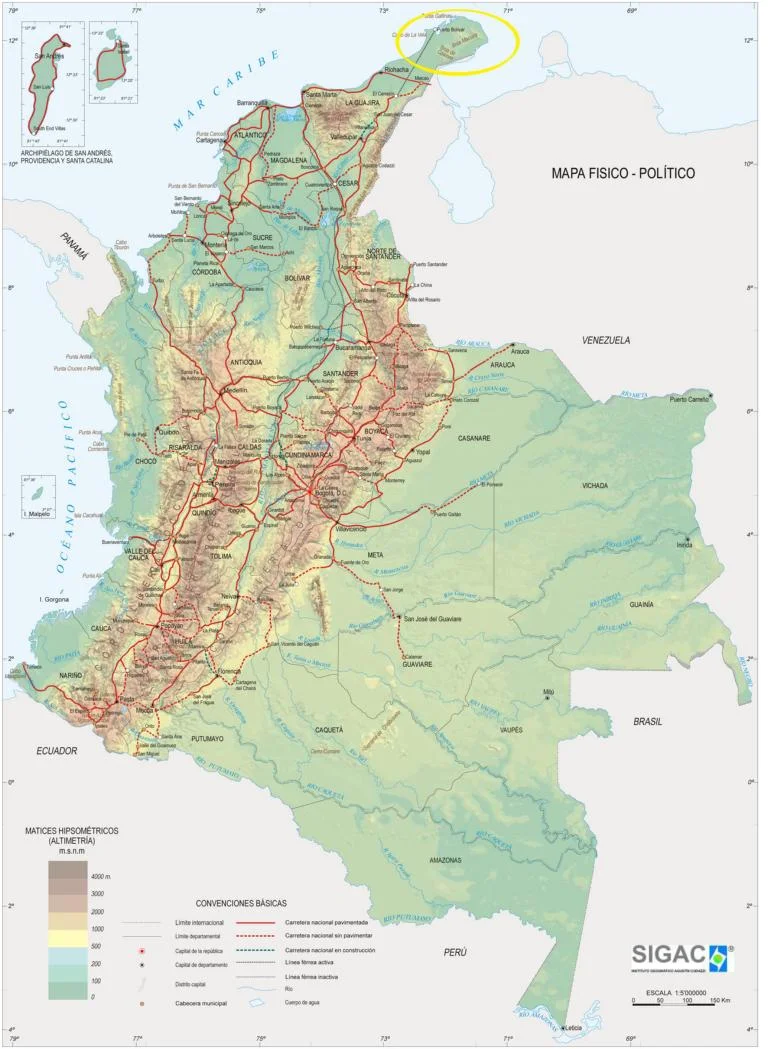
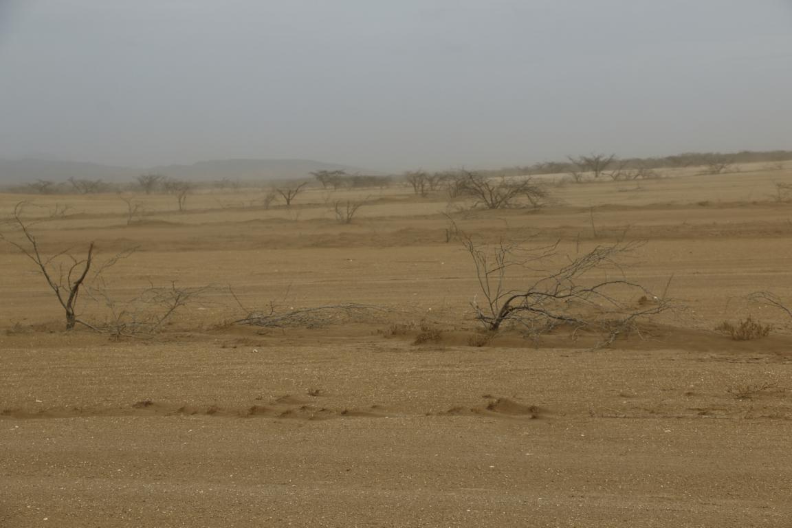
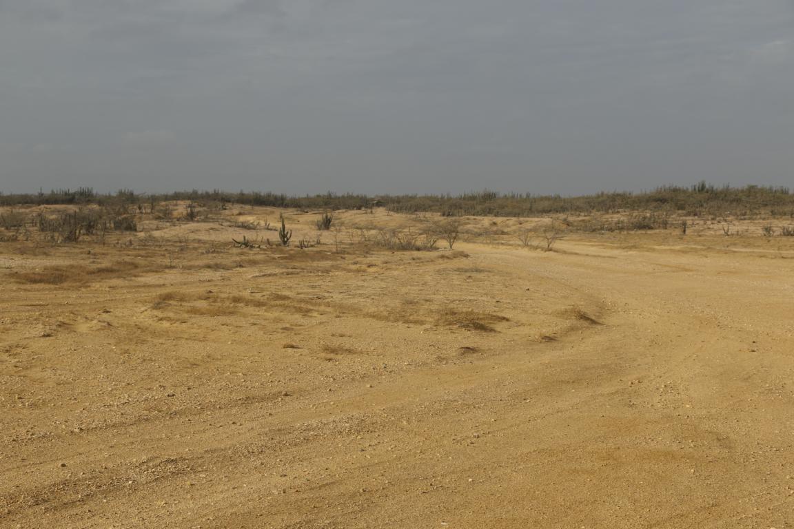
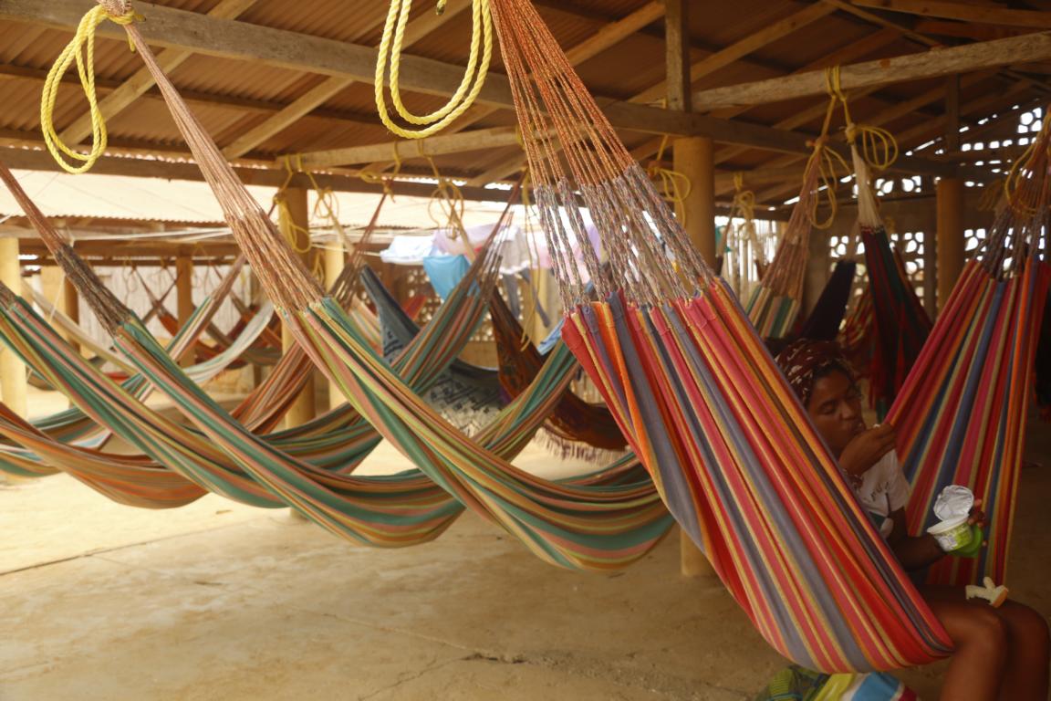
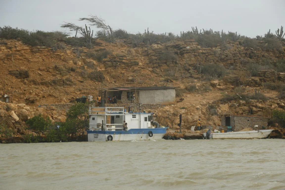
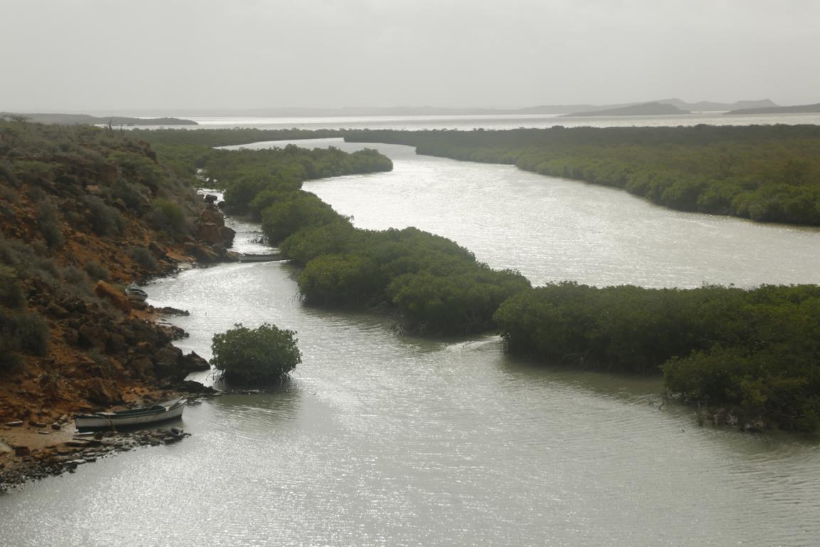
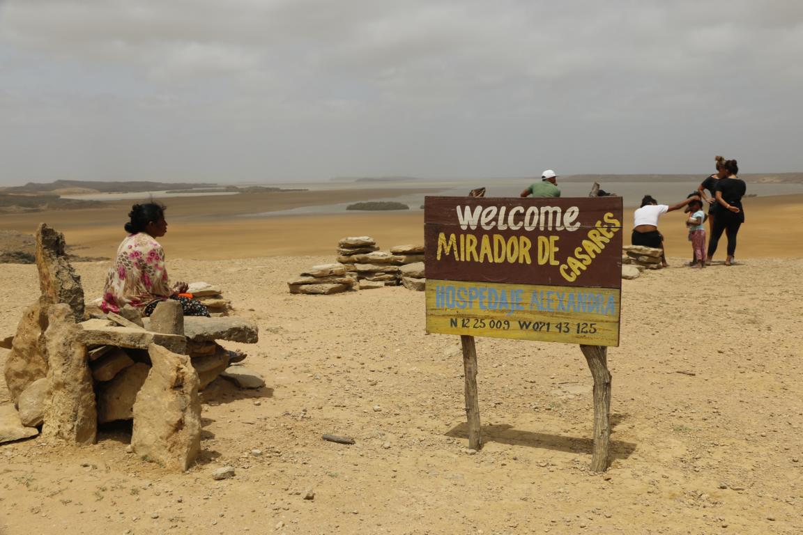
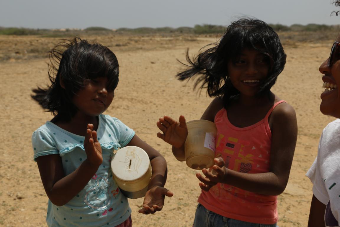
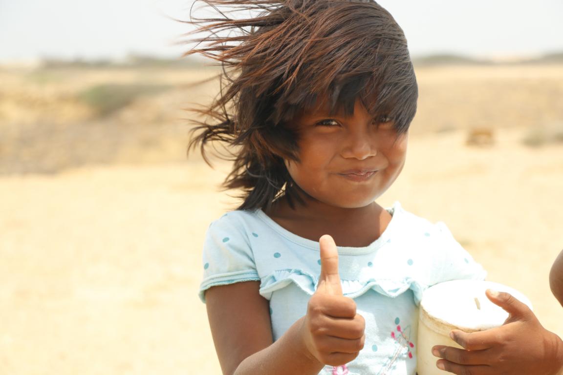
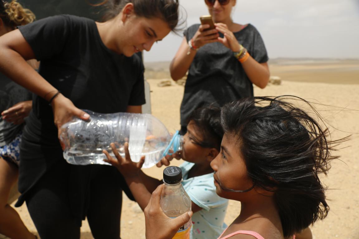
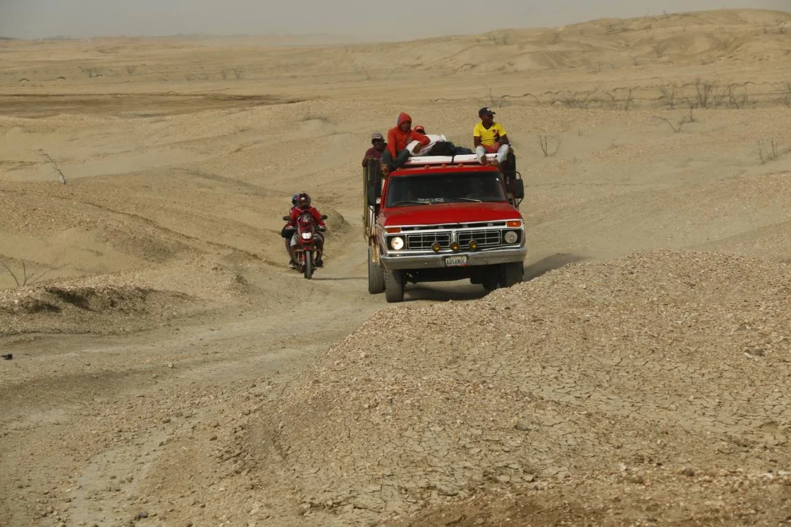
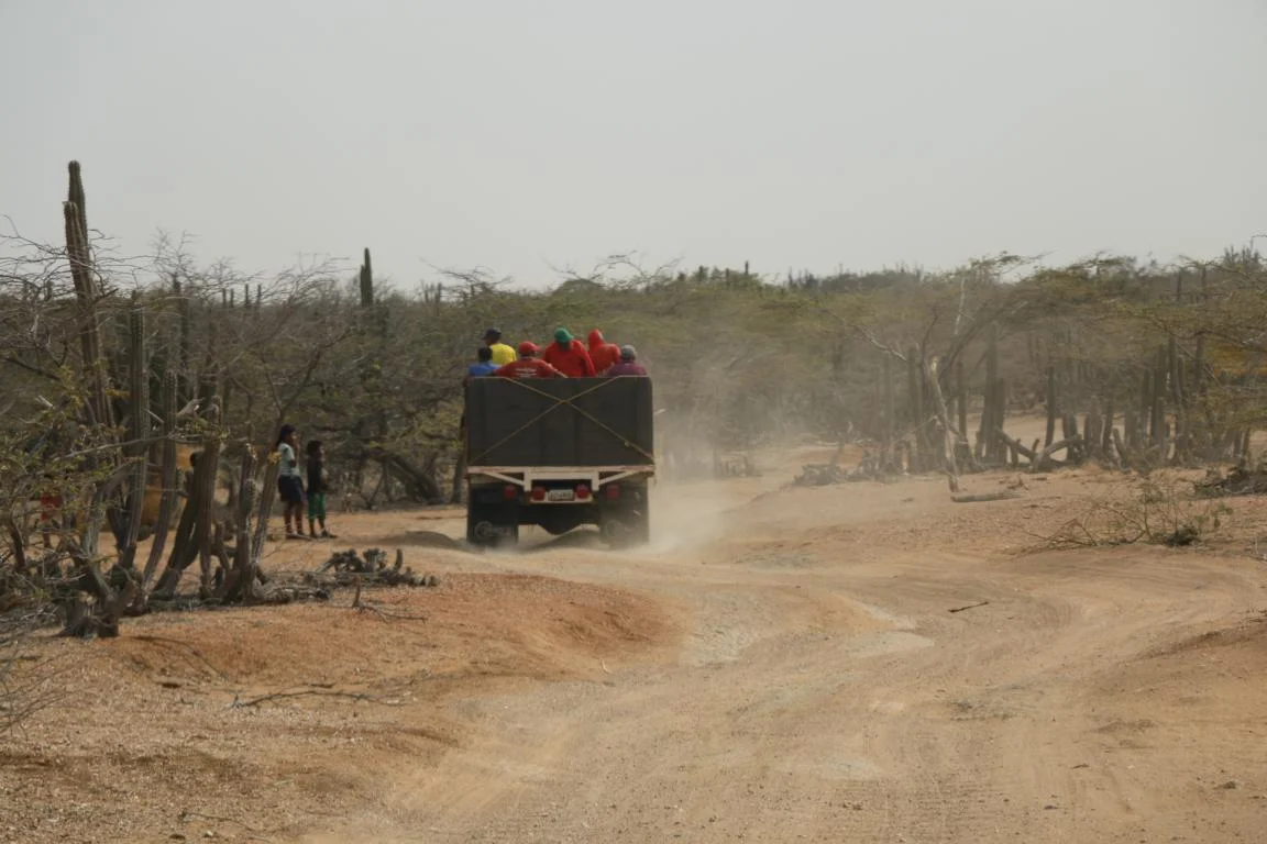
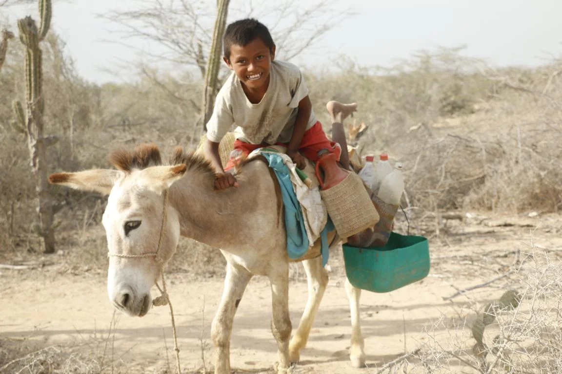
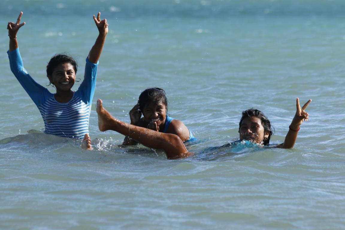
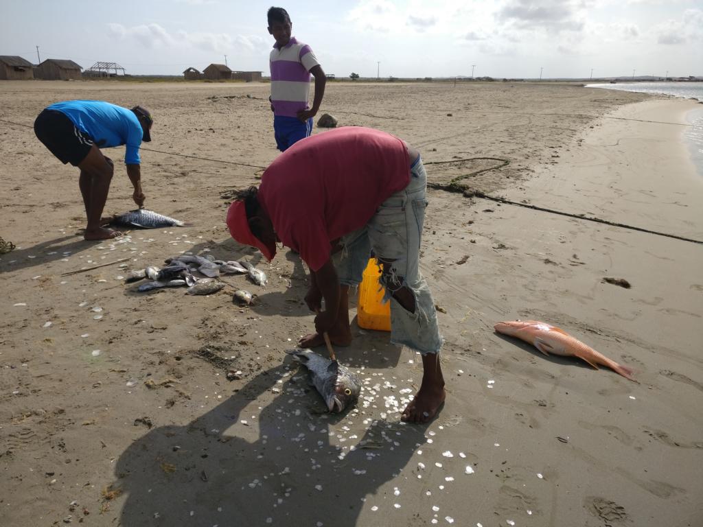
In north-east Colombia there is a large reserve belonging to the Wayuu, an indigenous people which settled down in the Guajira peninsula. They successful resisted the Spanish conquerors for several centuries. Except working in a coal mine the only employment in the arid semi-desert is fishing and raising of sheep and goats. Many Wayuus live below the poverty line.
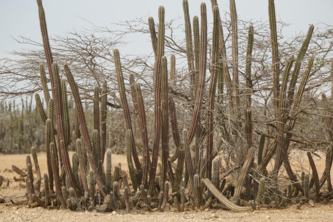
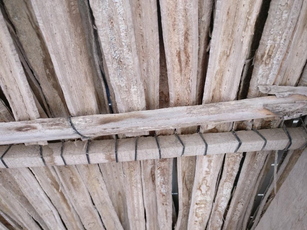
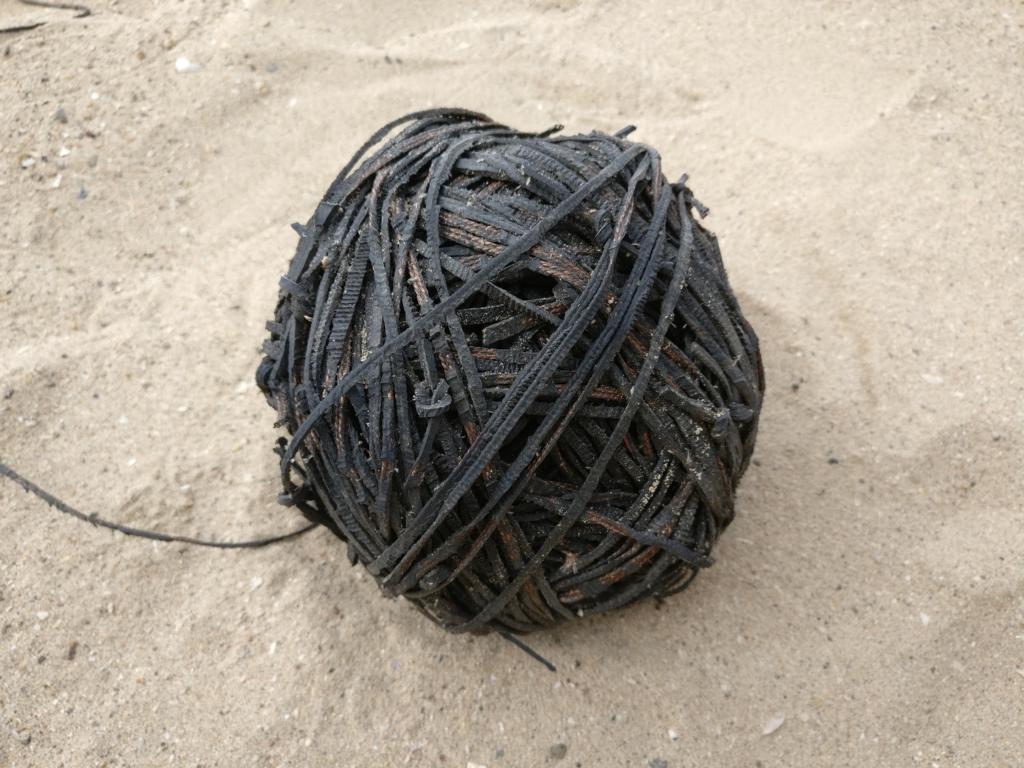
The predominant construction material is wood originating from cactus. The split wood is bound together with black threads made out of fibers pulled out of old car tires which are knitted together.
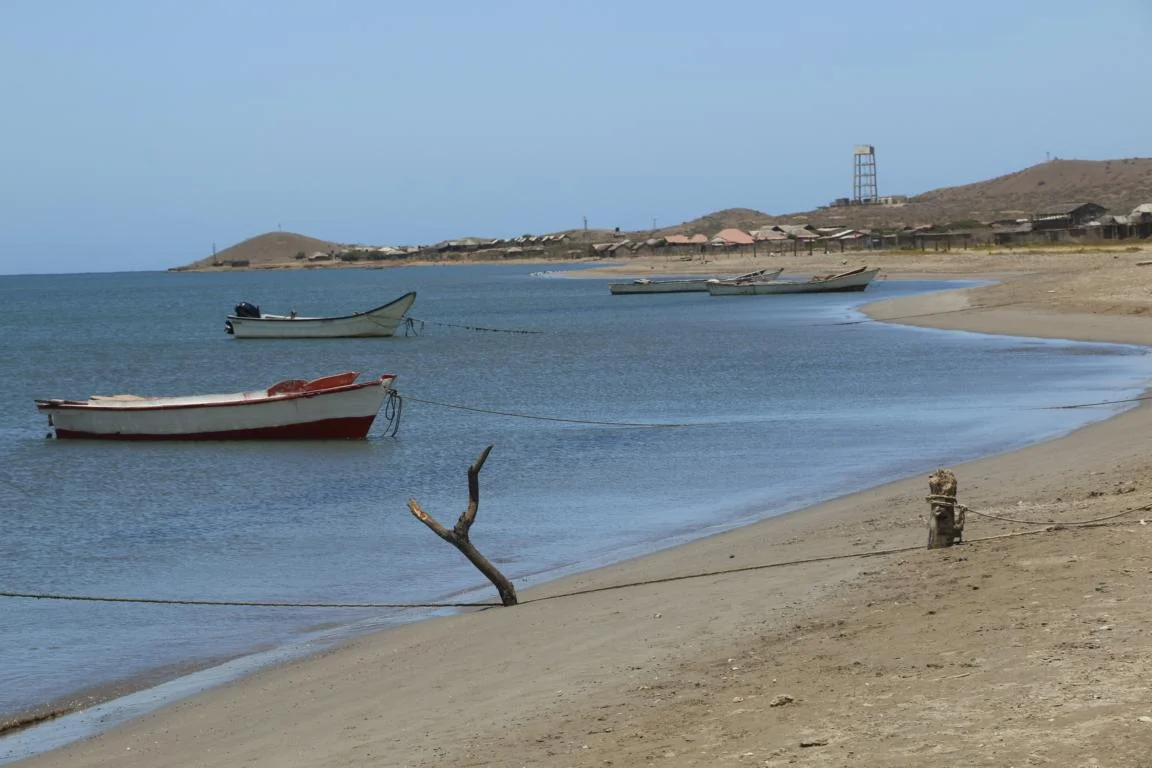
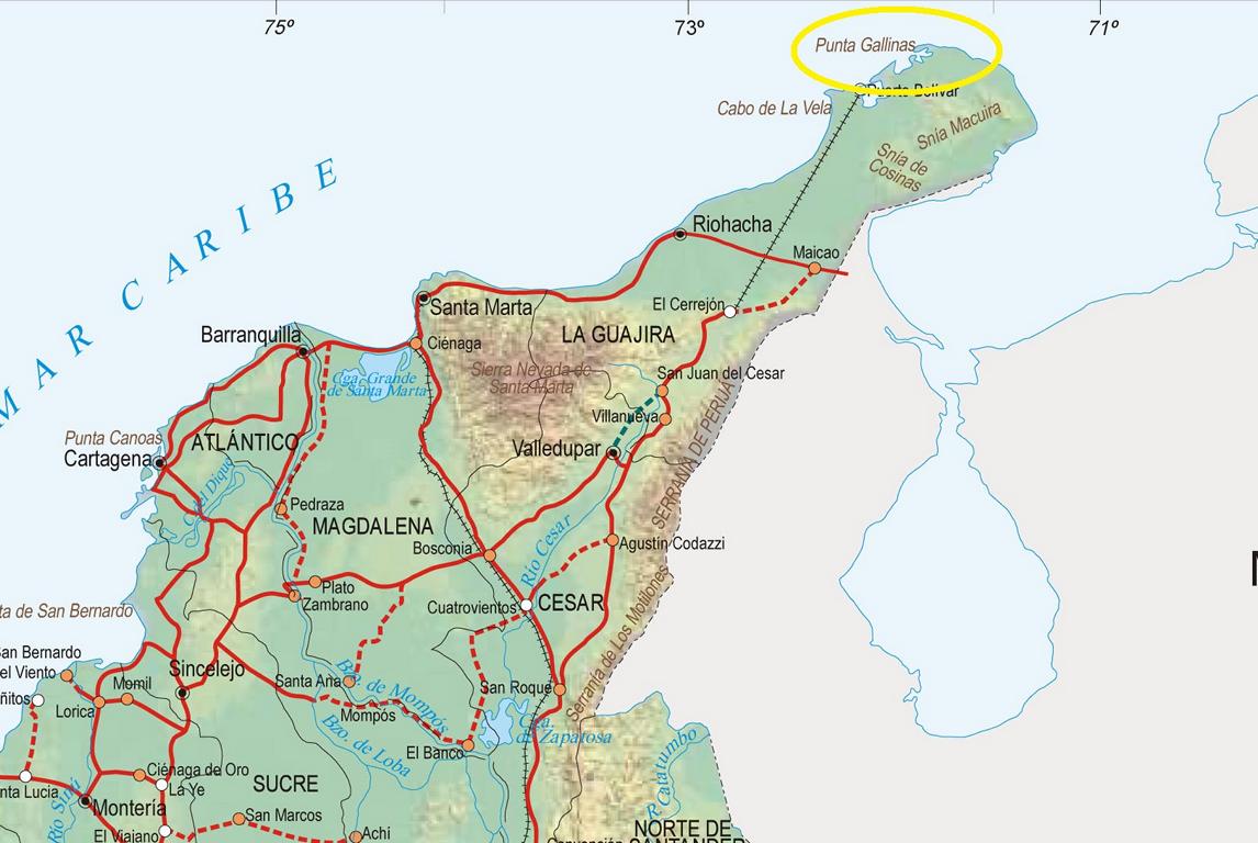
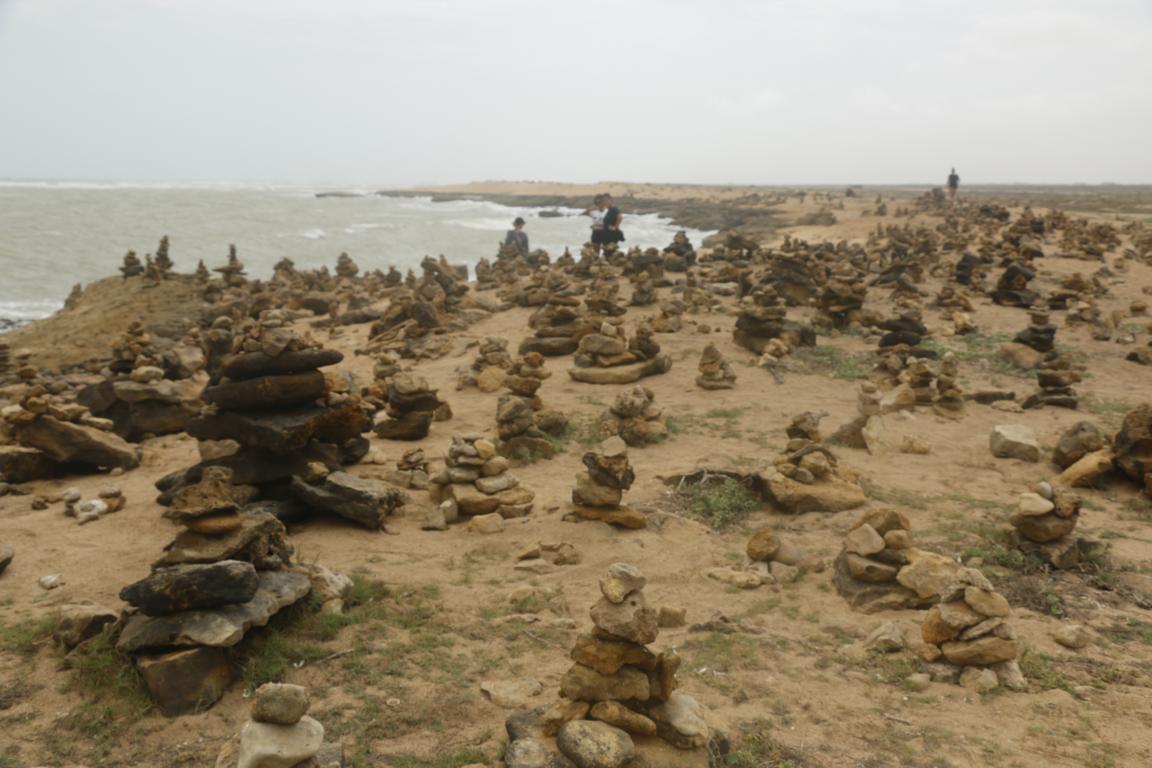
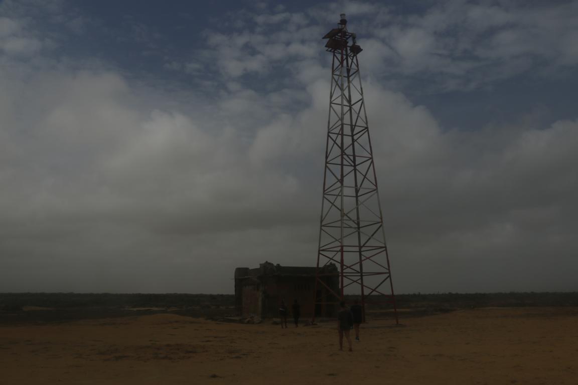
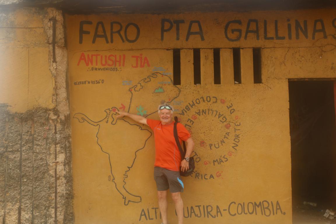
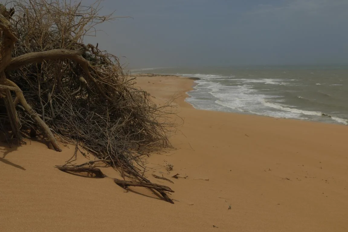
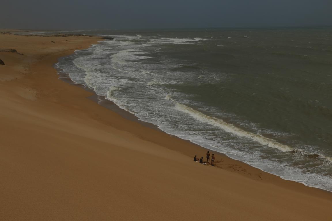
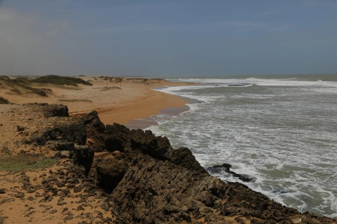
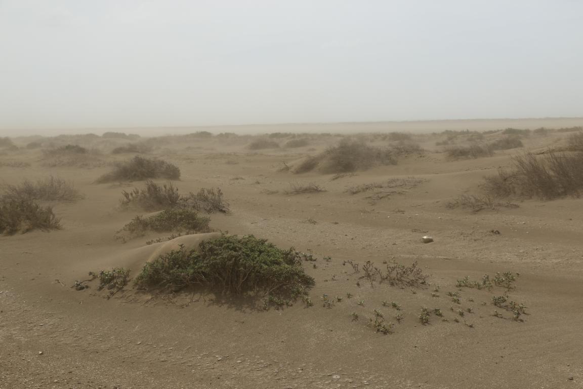
Punta Gallinas (Chicken Point), part of the reserve, is South Americas most northern territory. Main attractions are the light house, the sand dunes and a perfect beach. Due to 60 km wind speed the sea was quite rough and one gets a natural sand peeling.
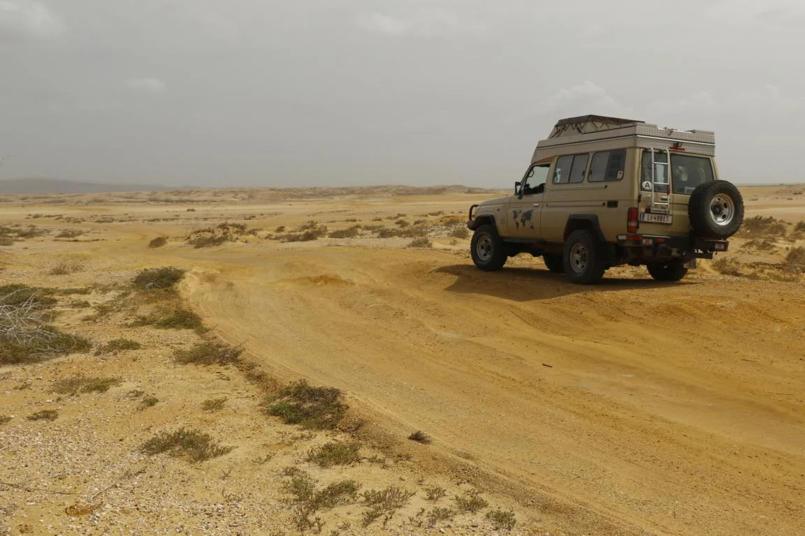
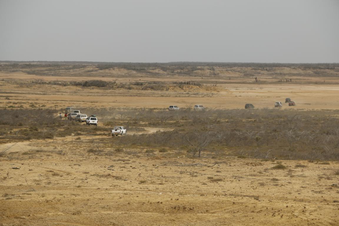
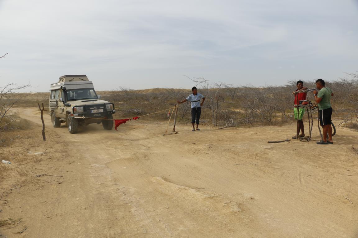
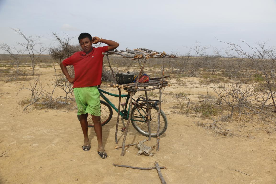
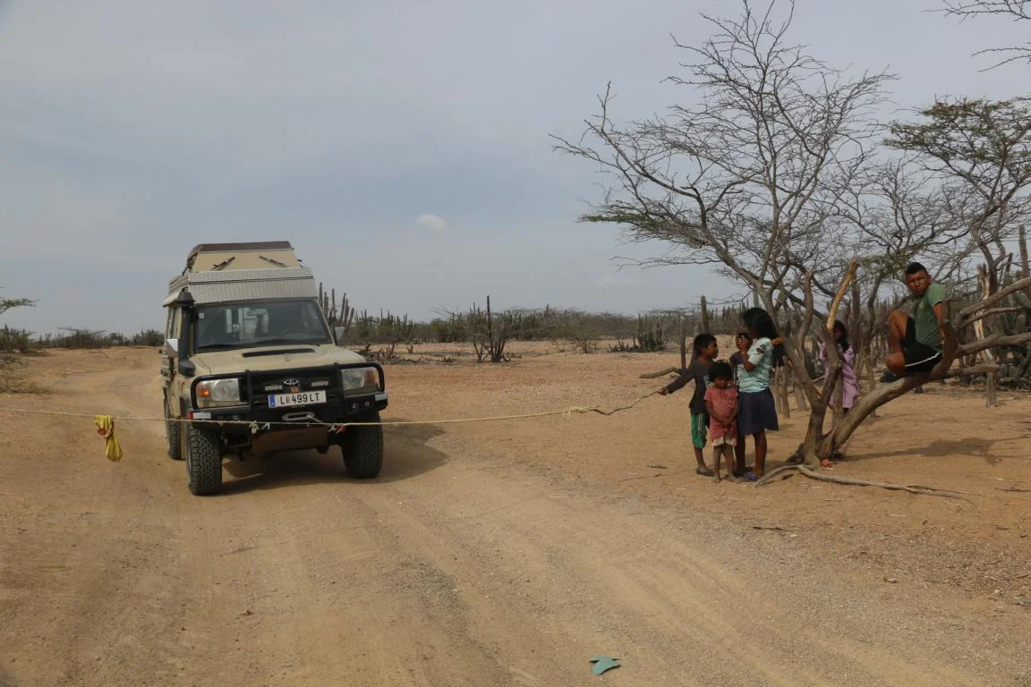
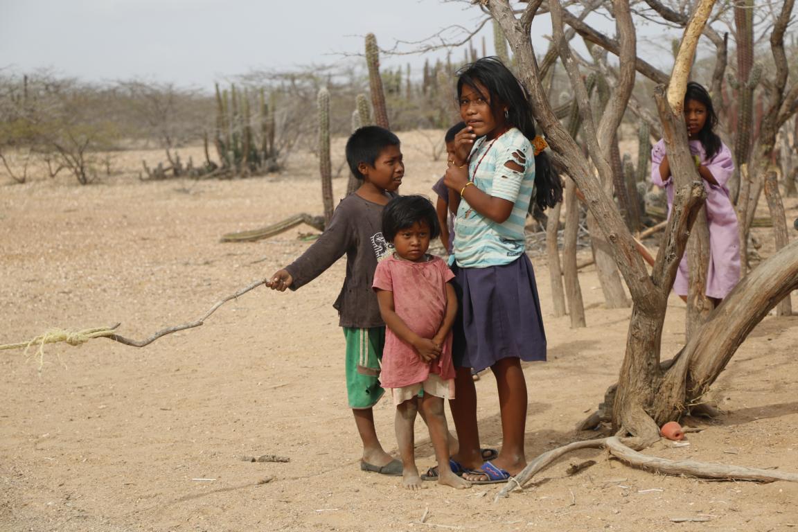
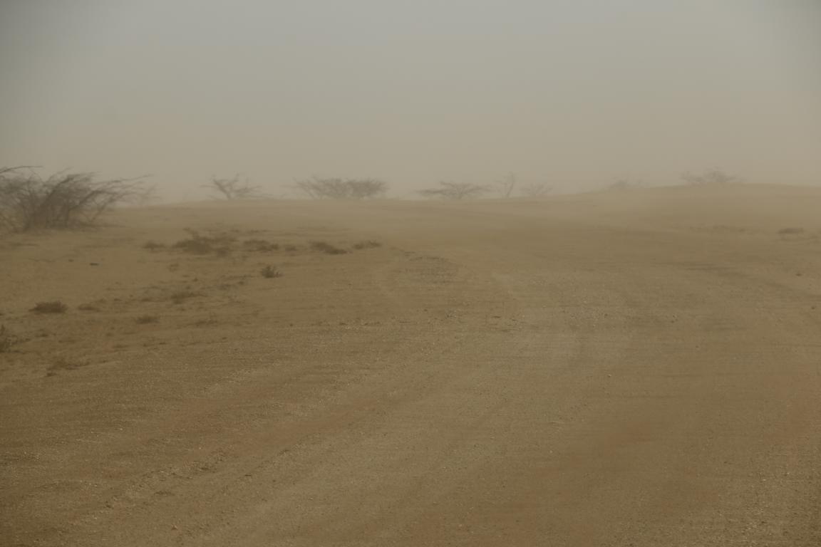
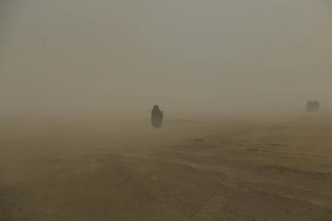
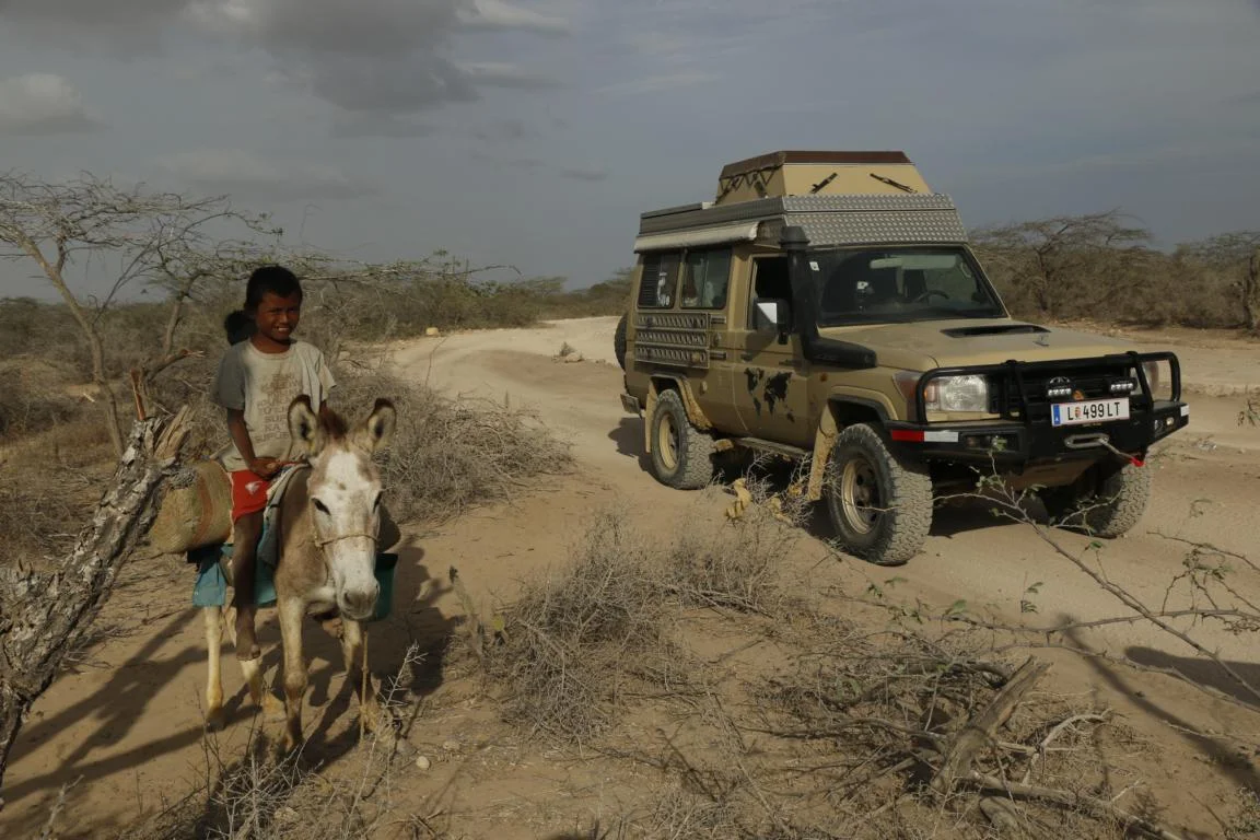
The road to and from Punta Gallinas are 70 km off road on gravel and sand. In the middle of nowhere “highway”-toll road blocks pop up. “Manned” with children we were able to buy our way through by providing candies. On the way back we were caught by a sandstorm which forced us to maneuver by blindly following the GPS.
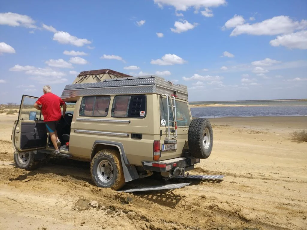
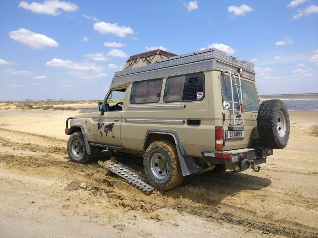
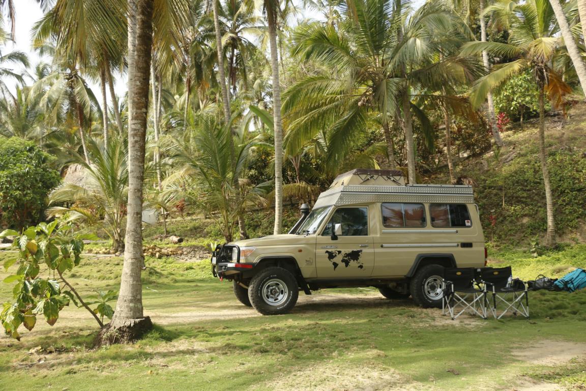
During the last weeks it was also the first time that I needed to use the sand boards to get the car out of the mud. Near a laguna close to Riohacha we got stuck in the mud which was hidden below a layer of sand. Sand boards worked perfectly well.
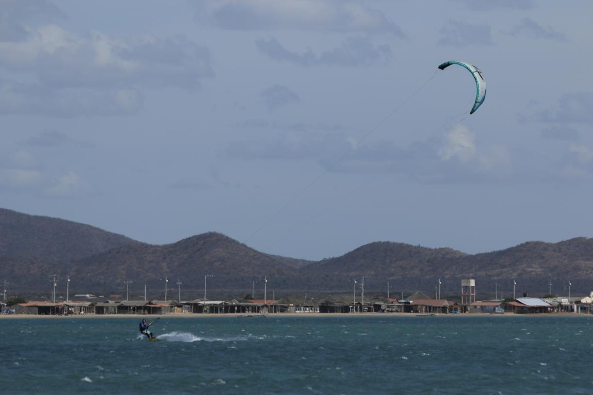
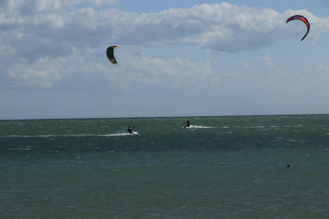
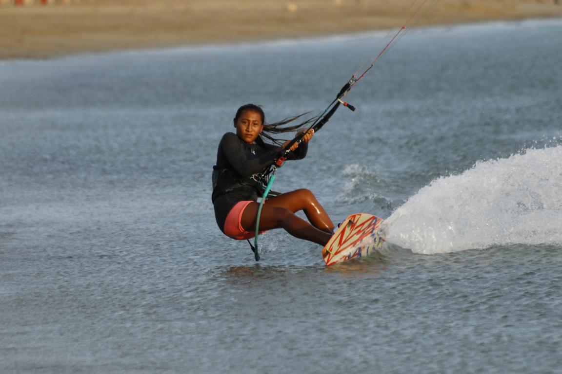
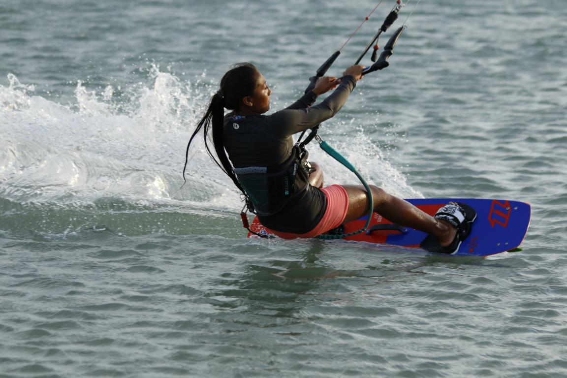
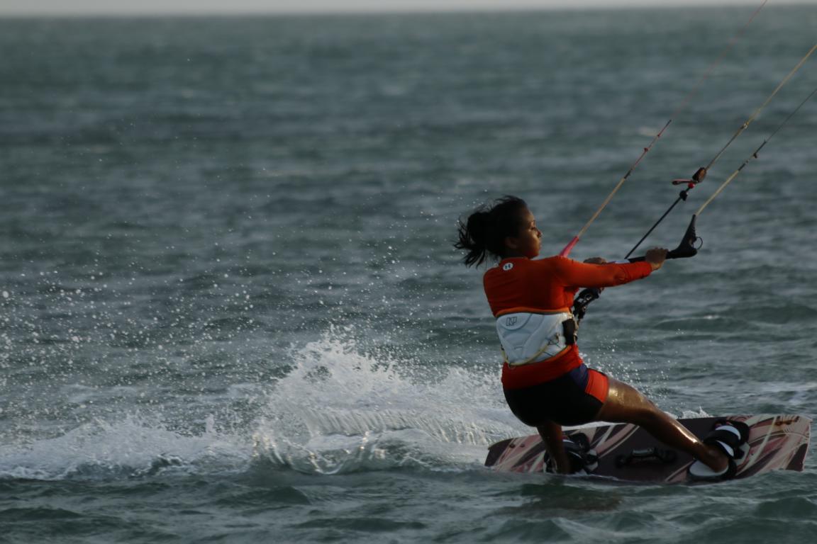
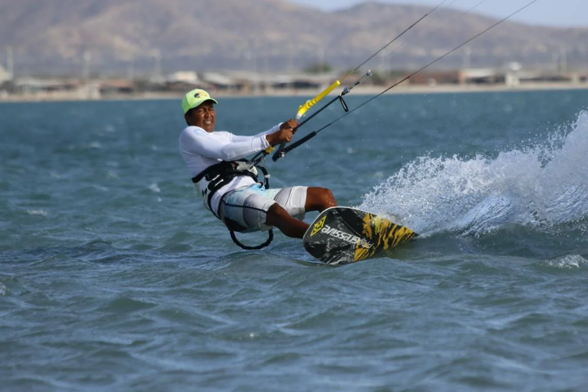
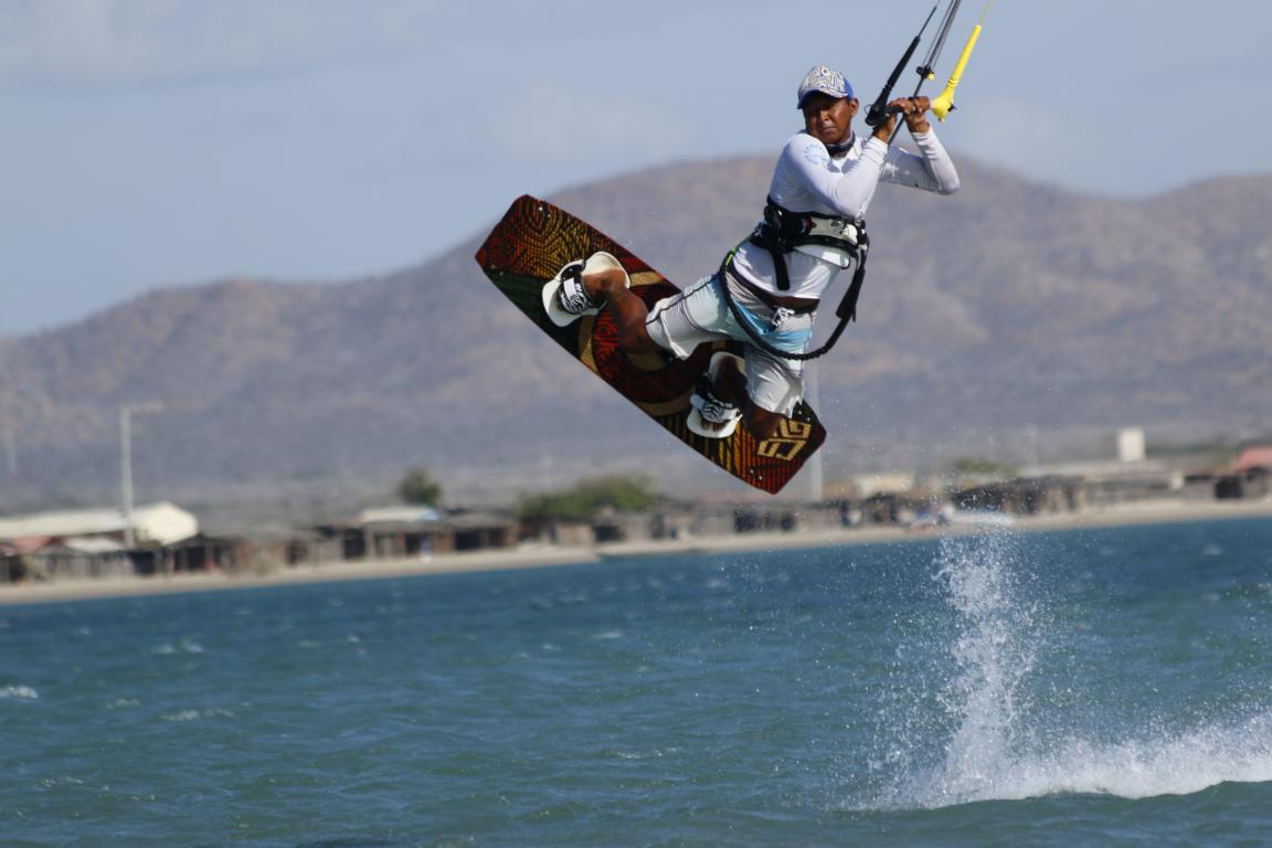
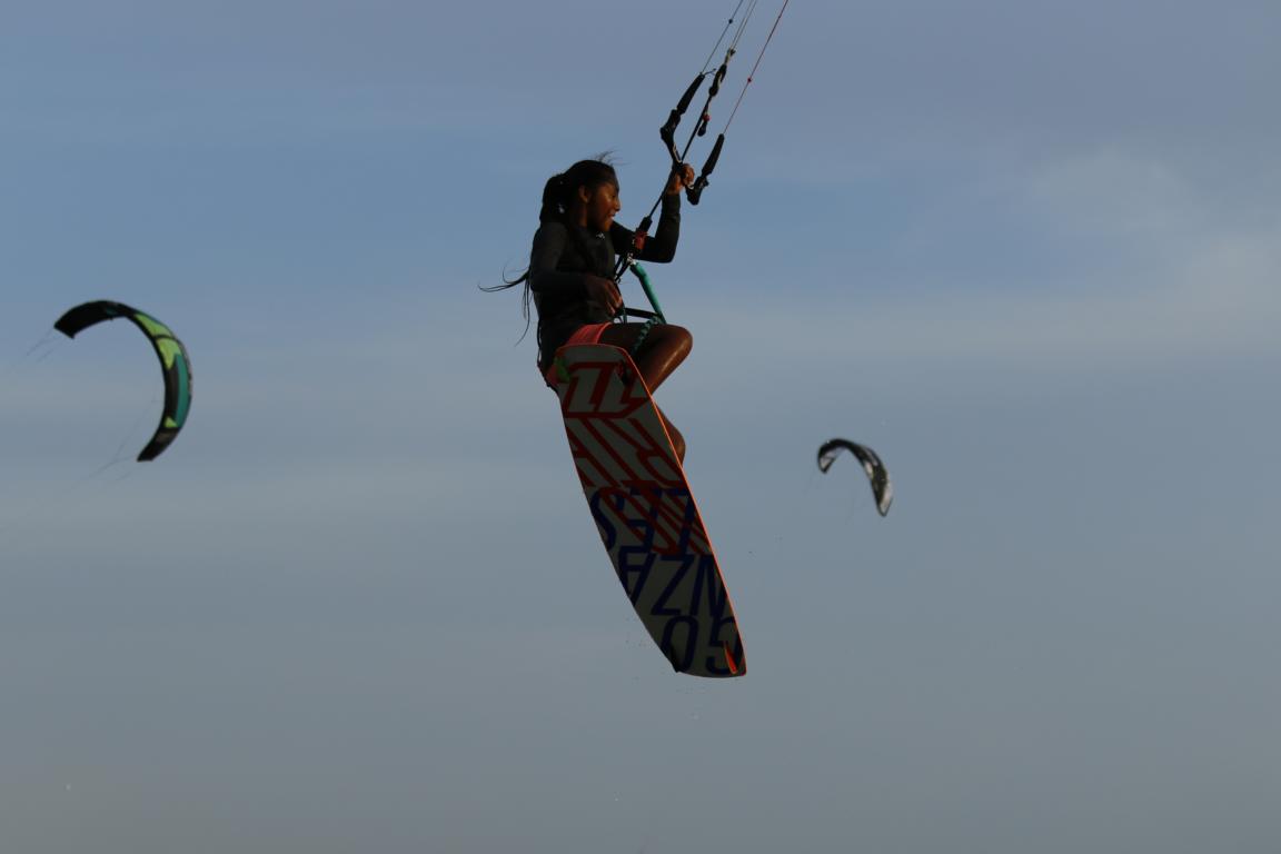
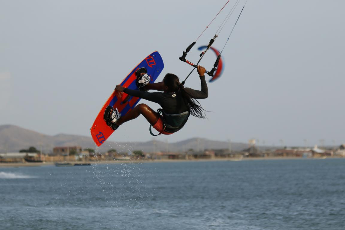
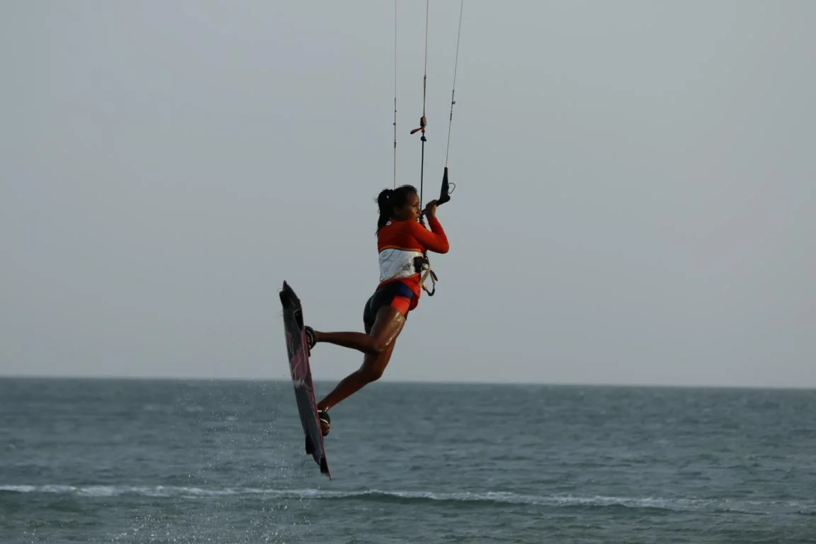
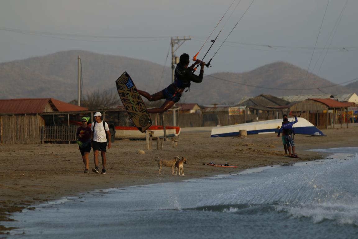
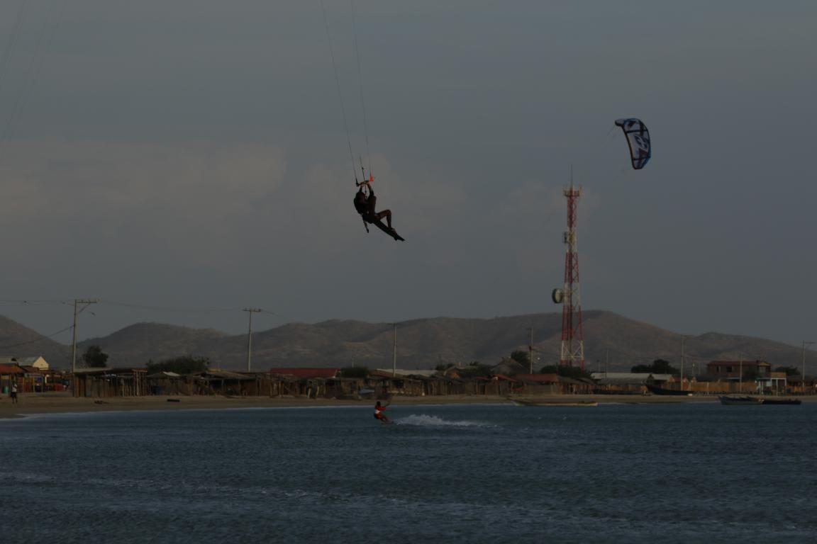
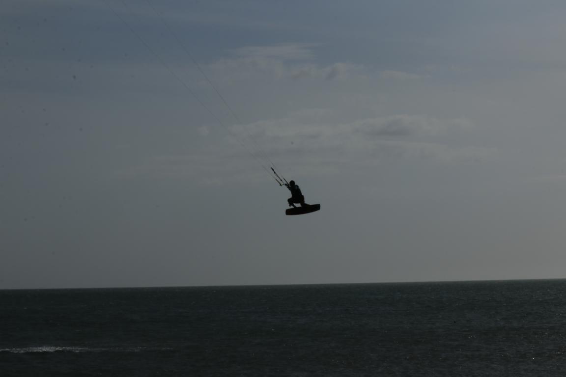
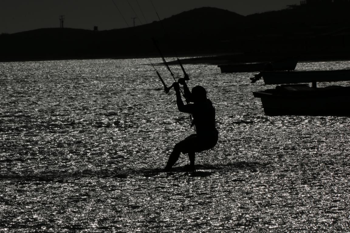
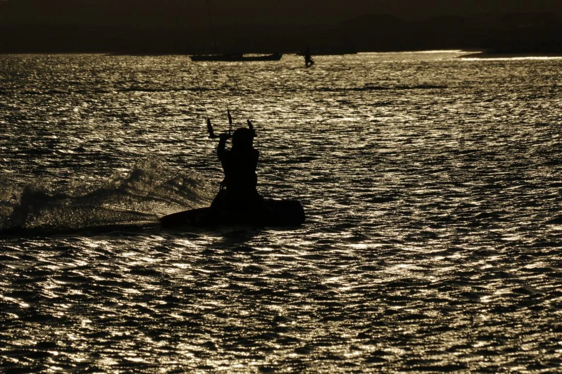
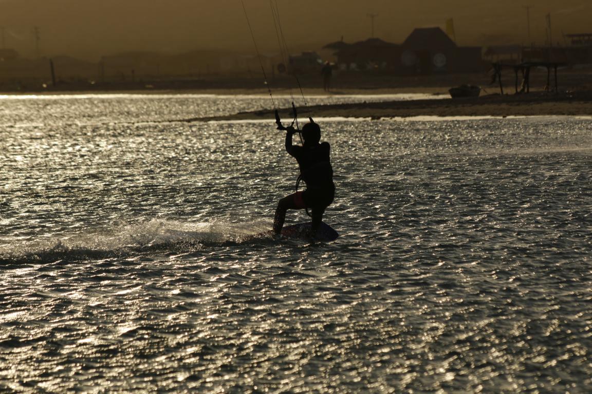
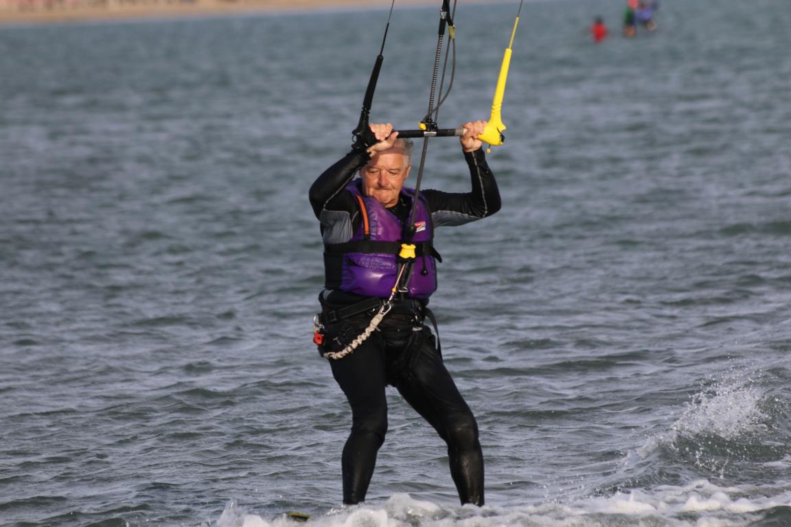
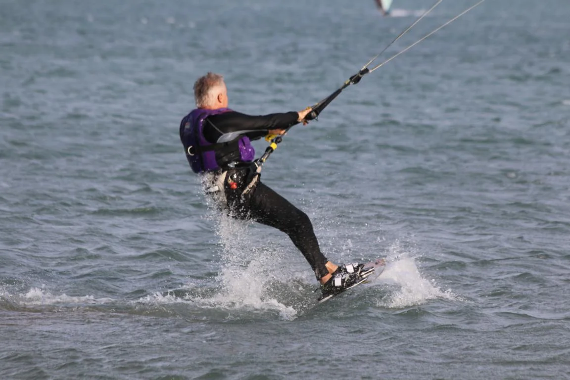
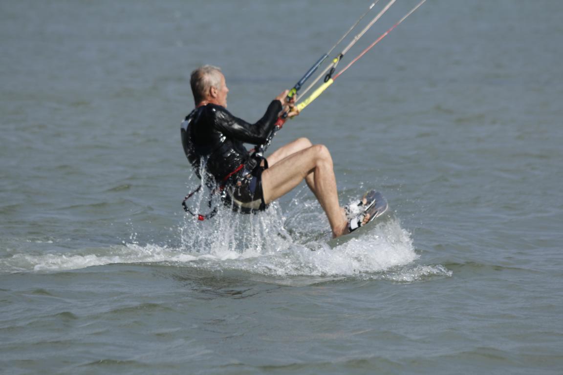
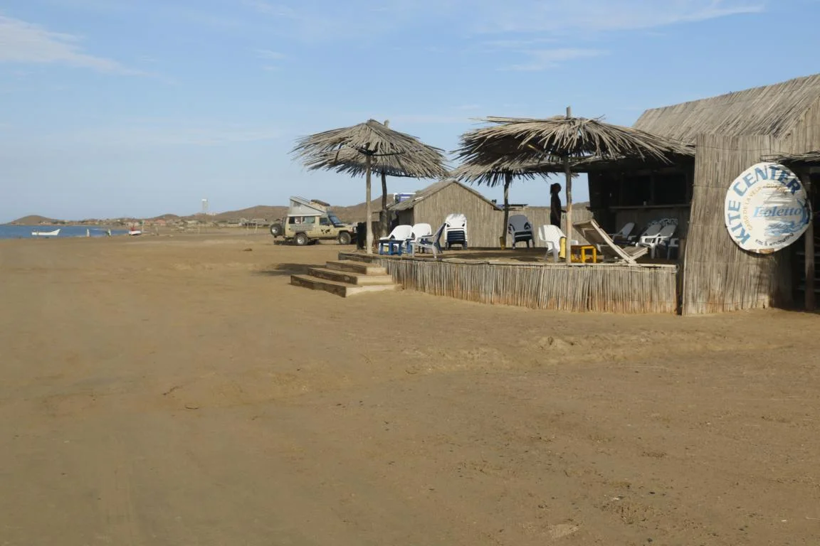
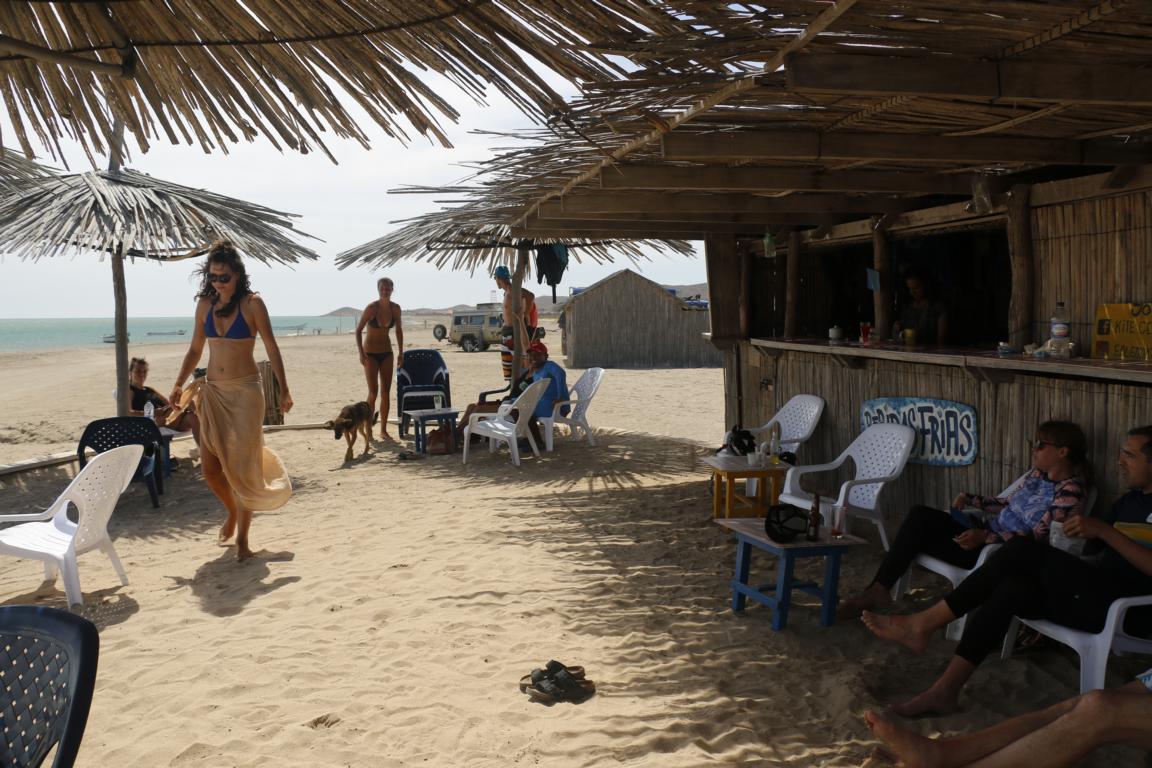
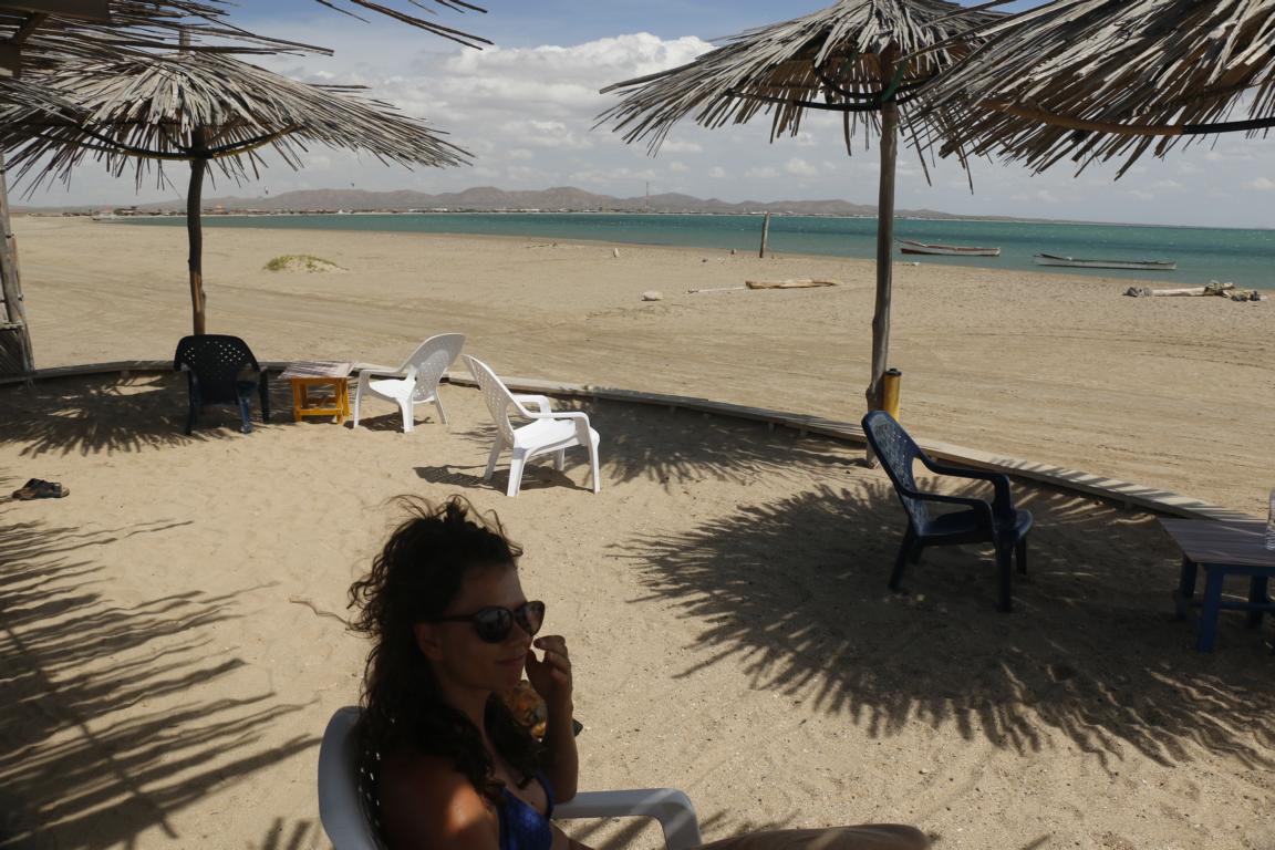
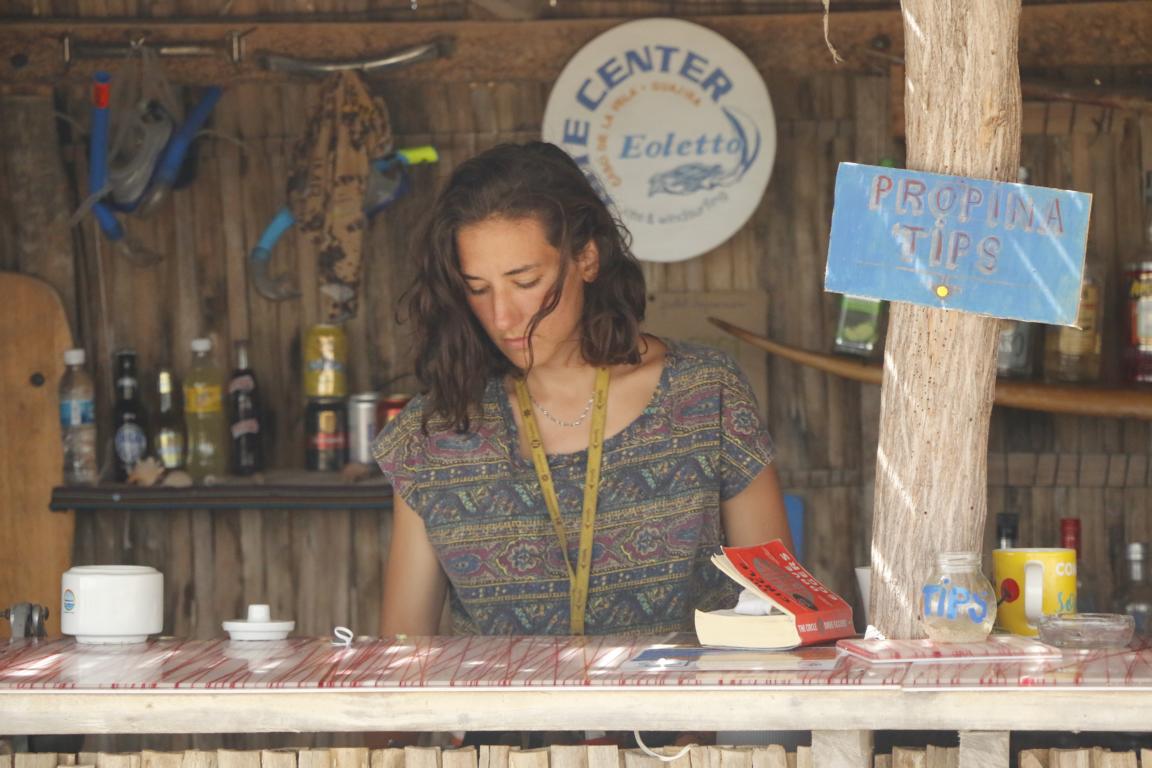
Cabo de la Vela located in the Wayuu reserve is an excellent kitesurf and windsurf spot which has windspeed between 30 and 60 km the whole year round. Compared with the local heroes the performance of Wolf and myself was quite modest. The Kite Center Eoletto is a very good place to learn windsurfing or kiting ( https://www.facebook.com/kitecentereoletto/ ).
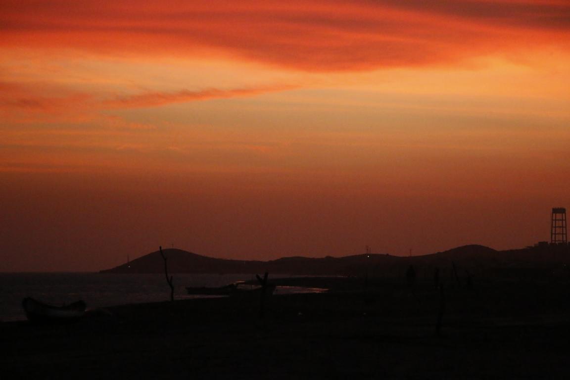
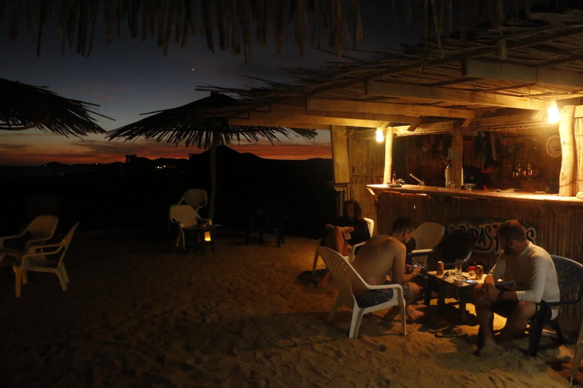
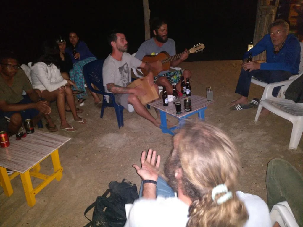
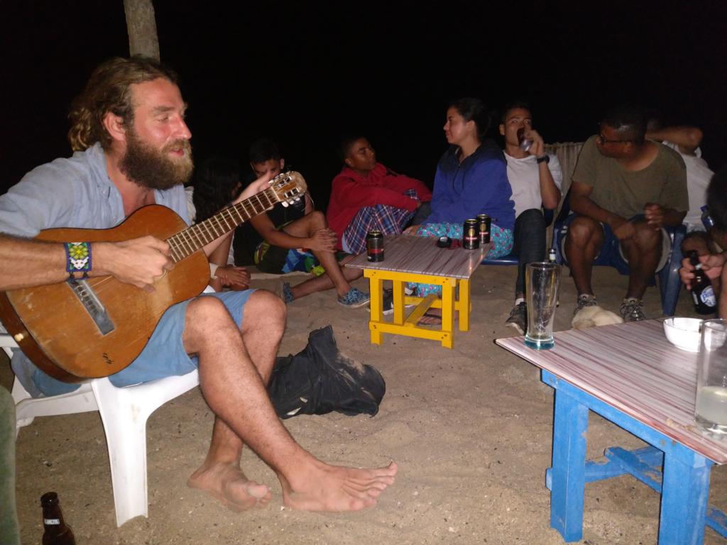
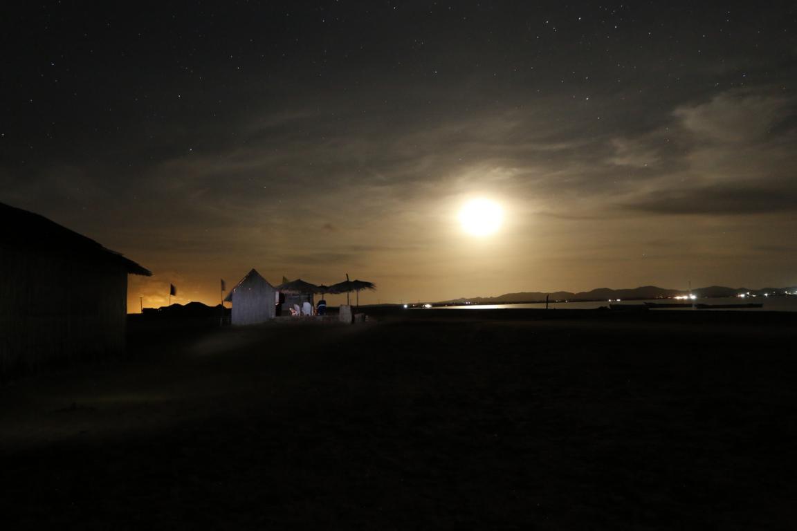
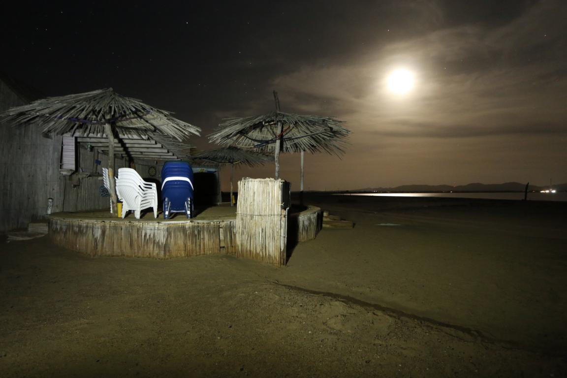
A special place for a sun-downer and to watch the raising moon is the Caleta de Fito Bar. Following the slogan “thirst is stronger than home sickness” we made it our temporary second home.
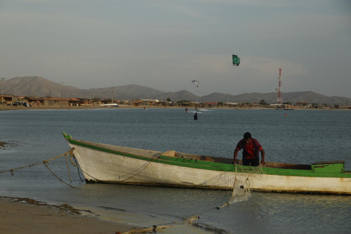
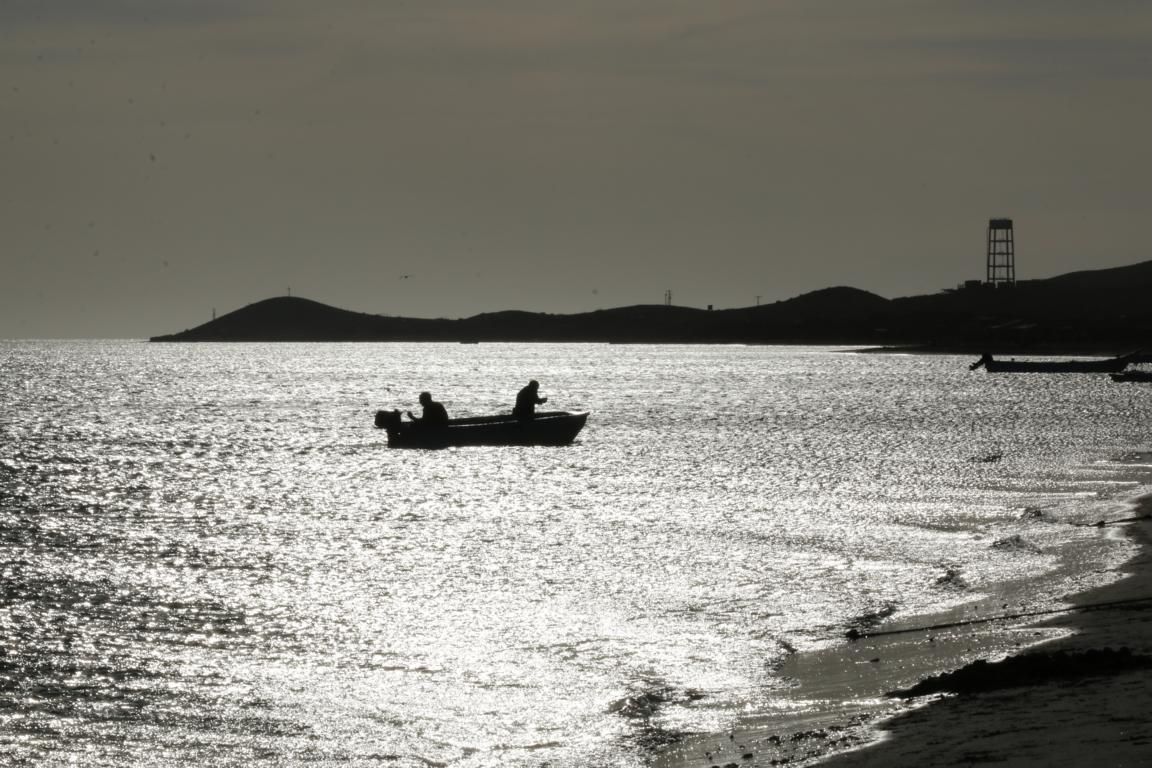
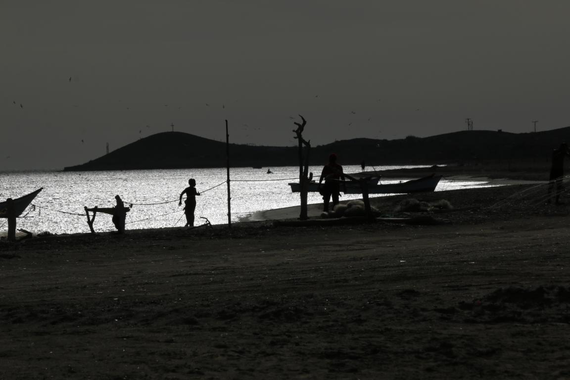
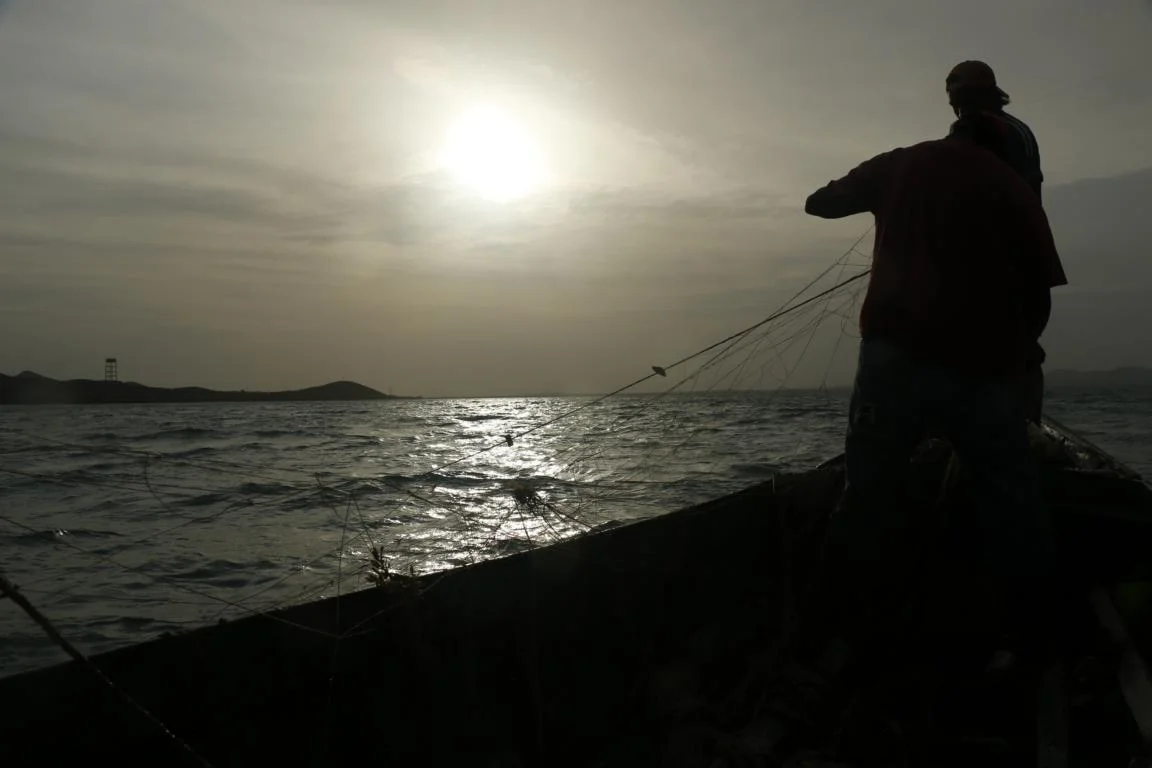
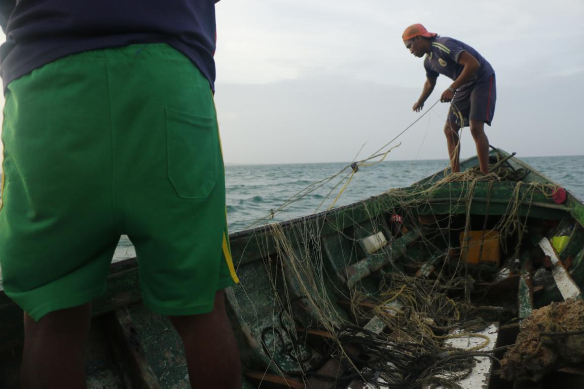
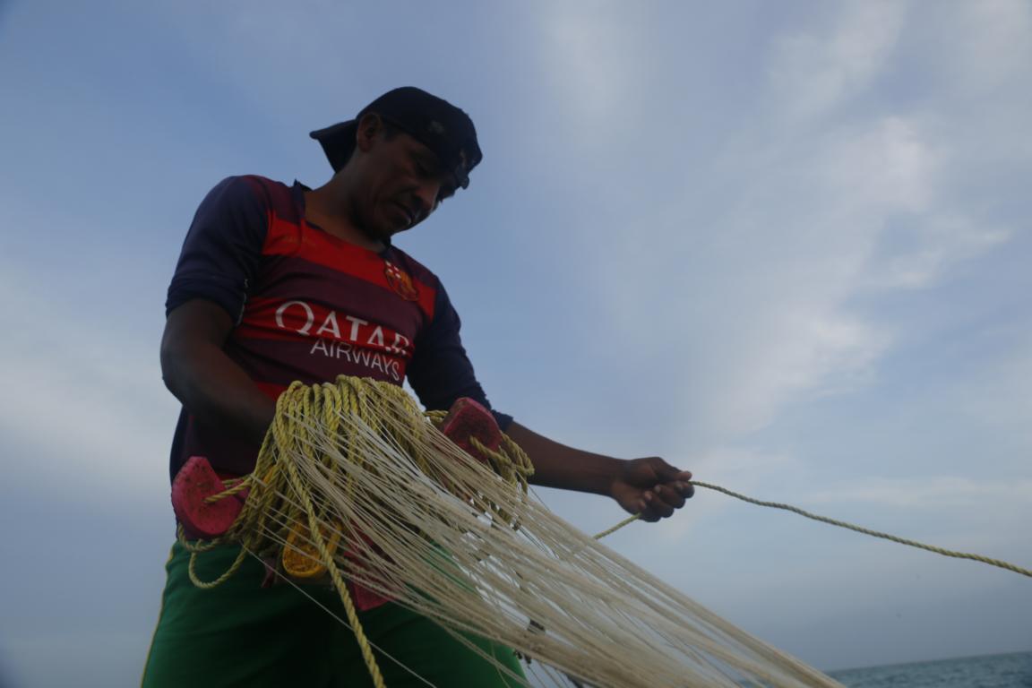
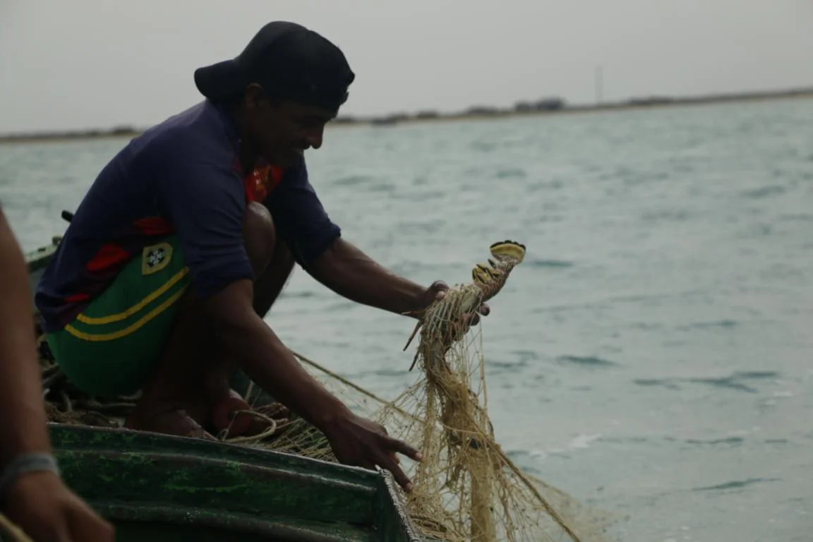
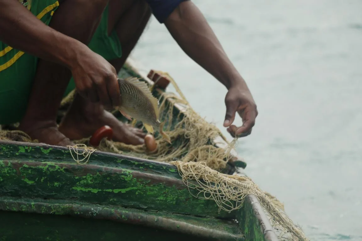
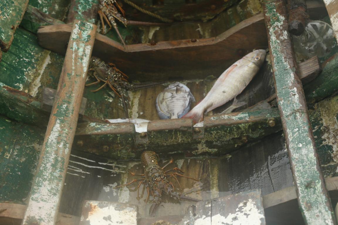
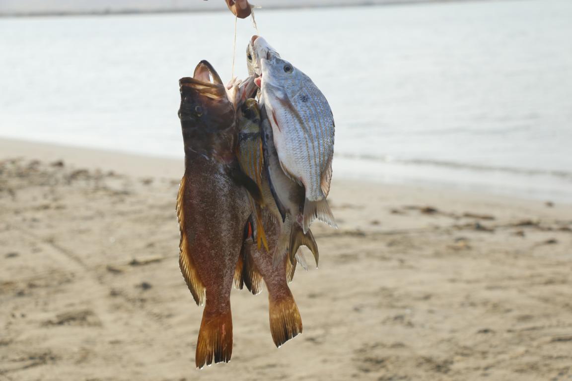
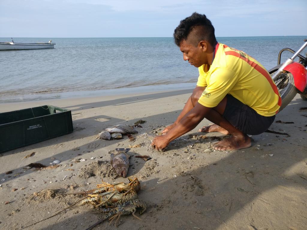
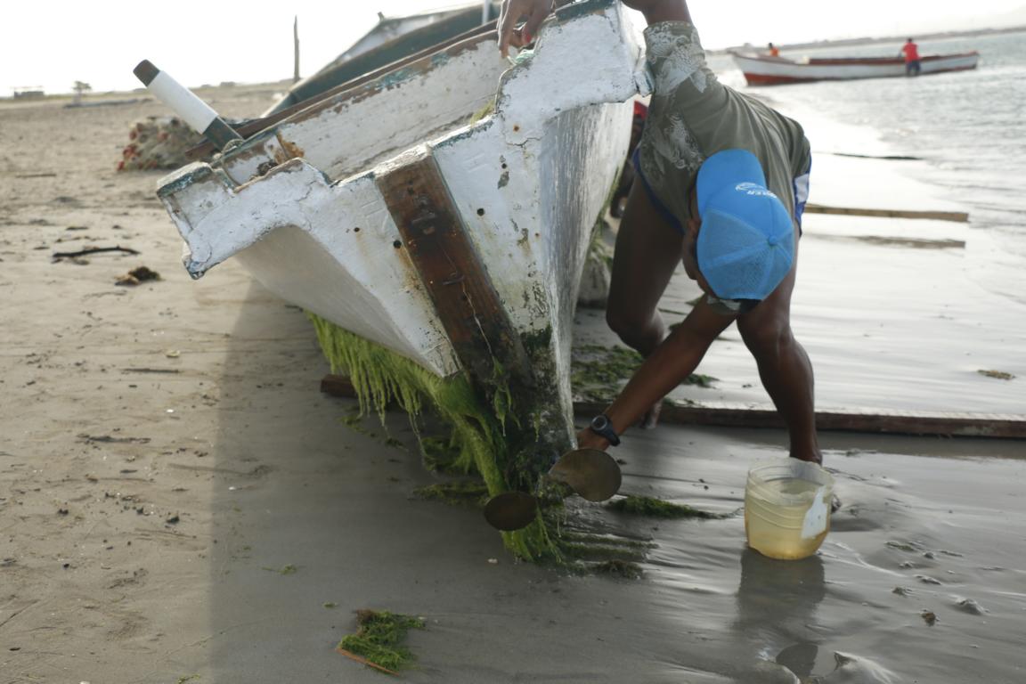
One morning I went out with the local fisherman to watch them fishing with their nets.
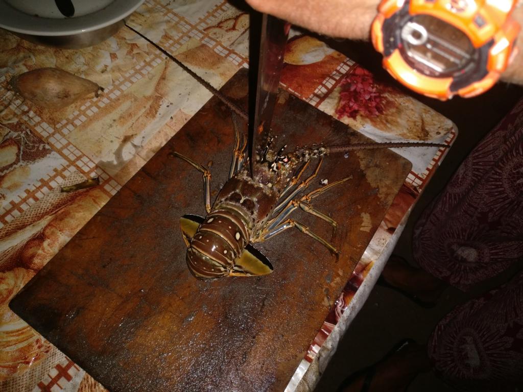
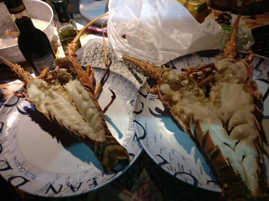
Fresh lobster prepared on the grill.
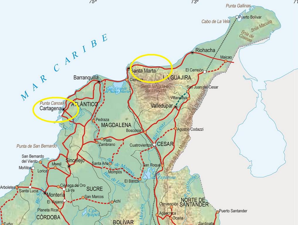
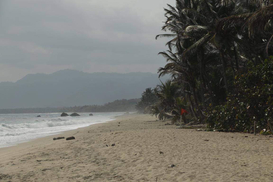
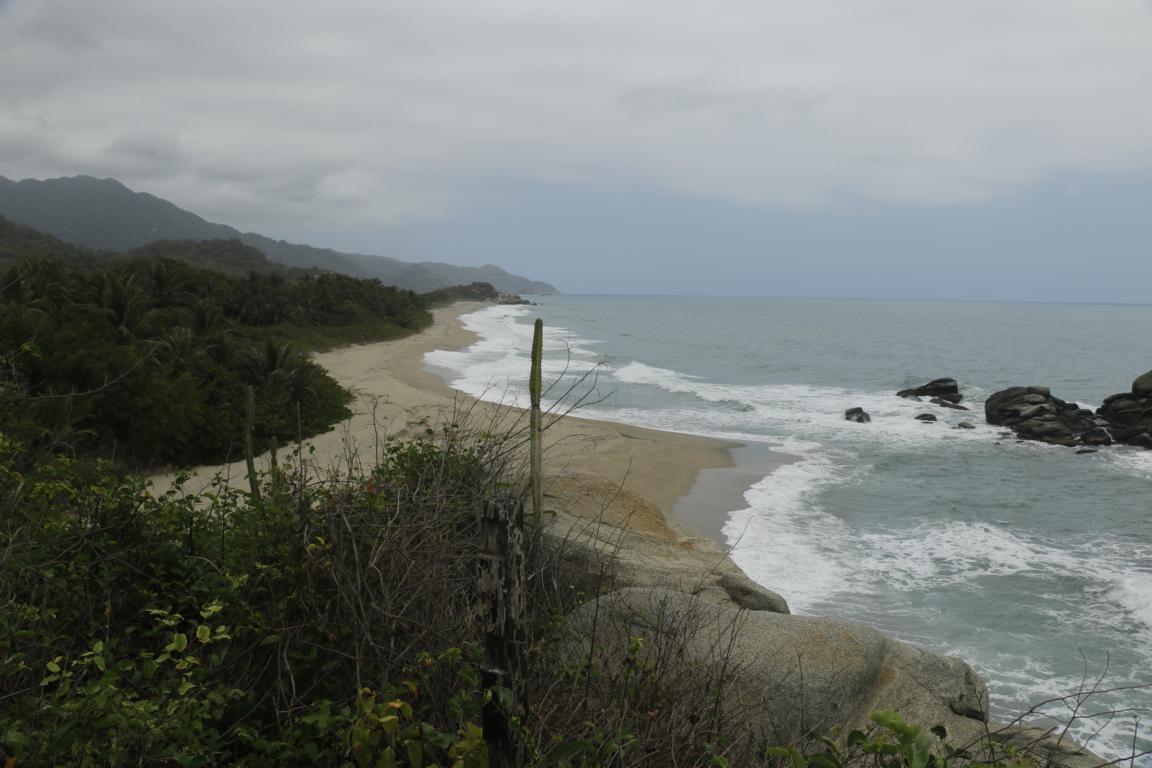
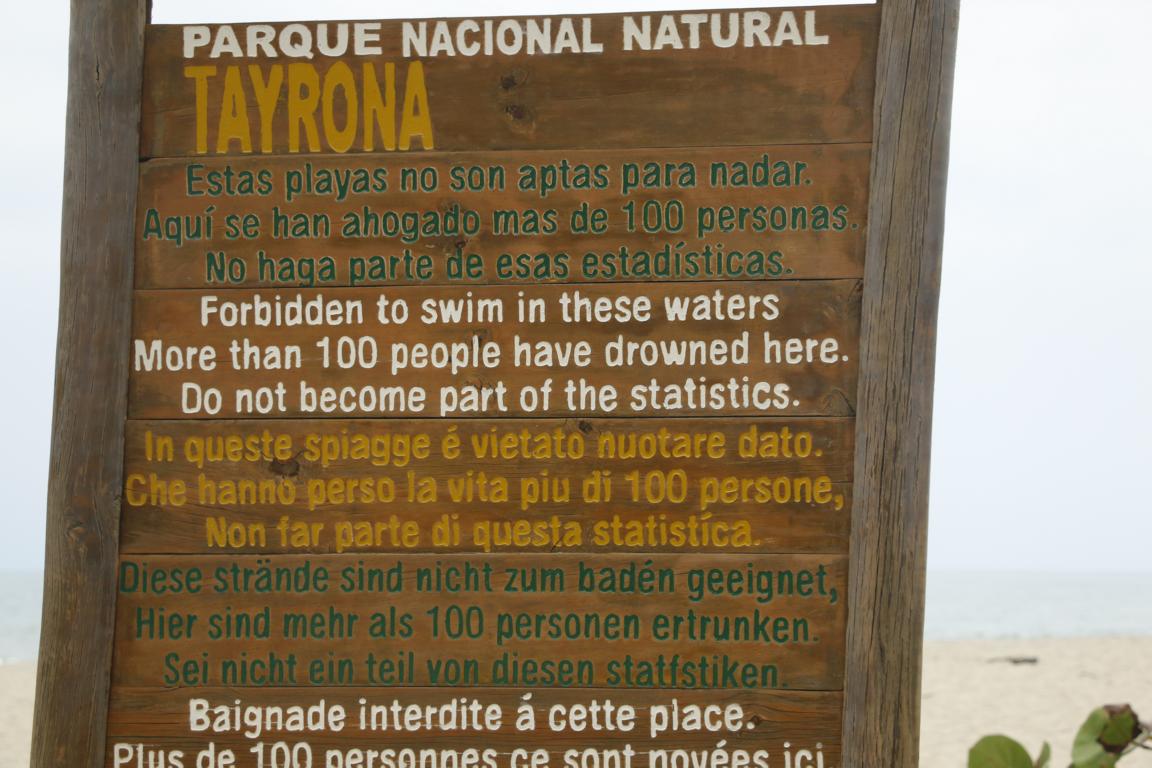
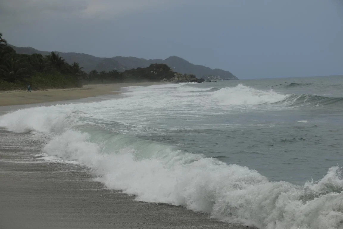
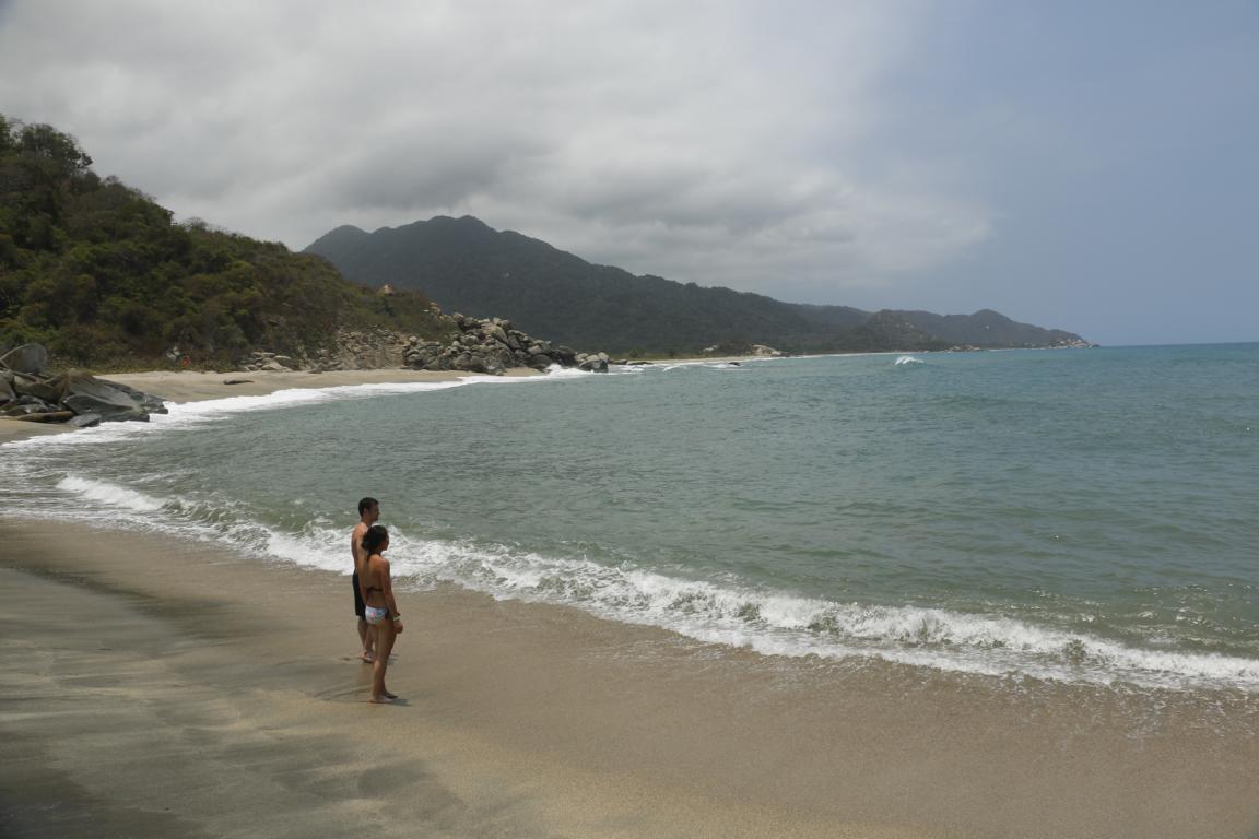
On the way to Cartagena lays the Tayrona National Park. The park is the place where the 7,500 km long Cordillera de los Andes ends in the Caribbean Sea.
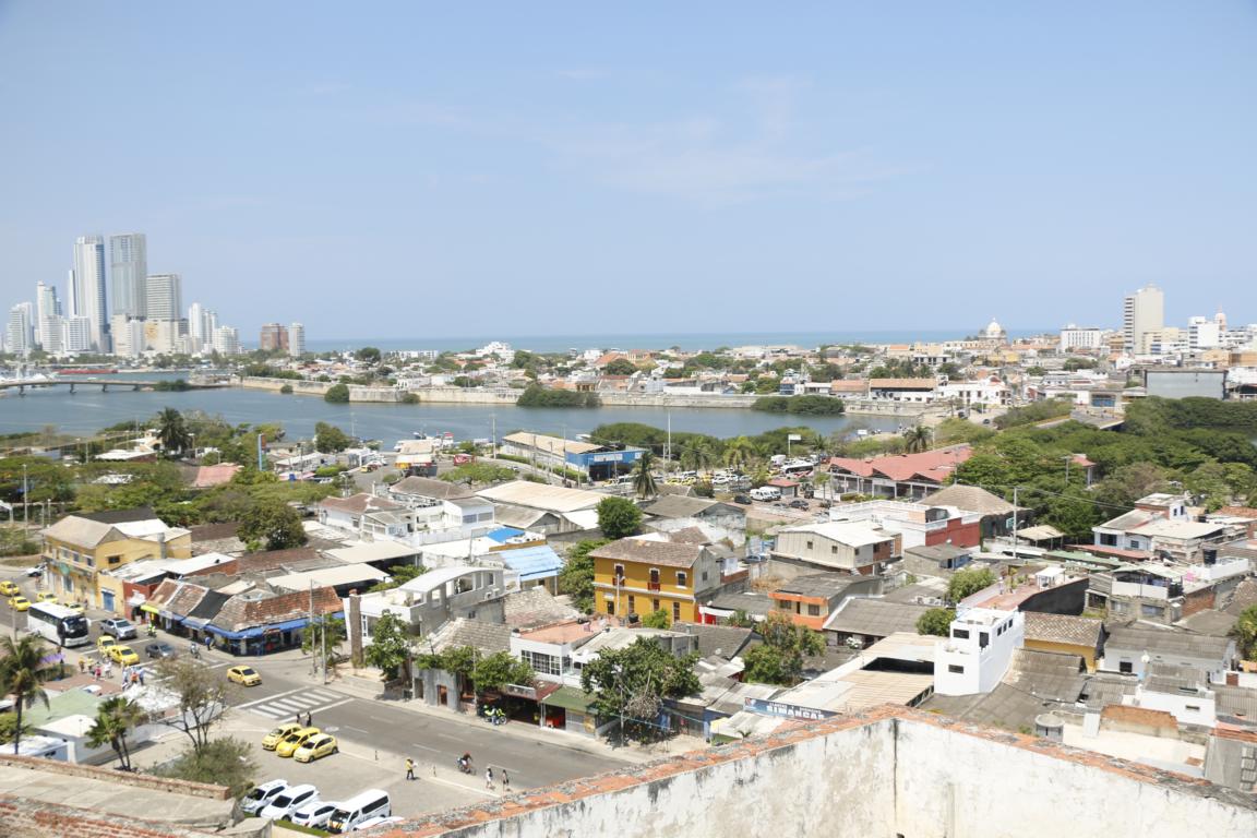
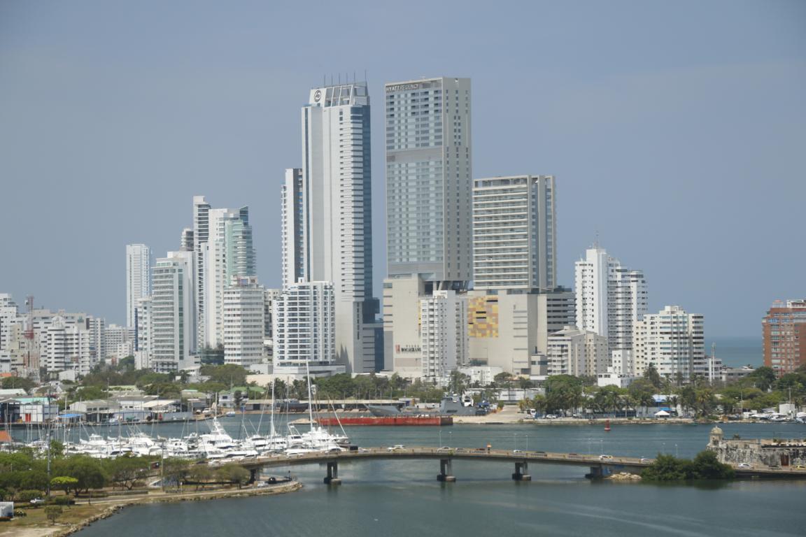
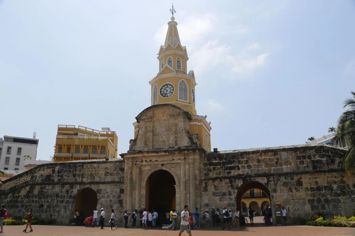
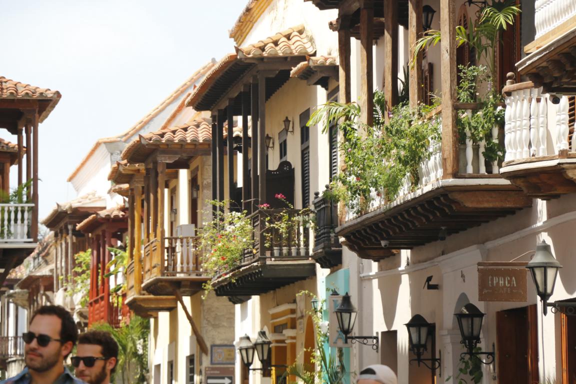
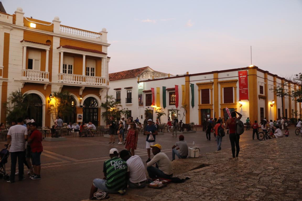
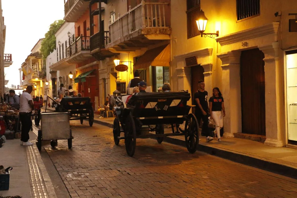
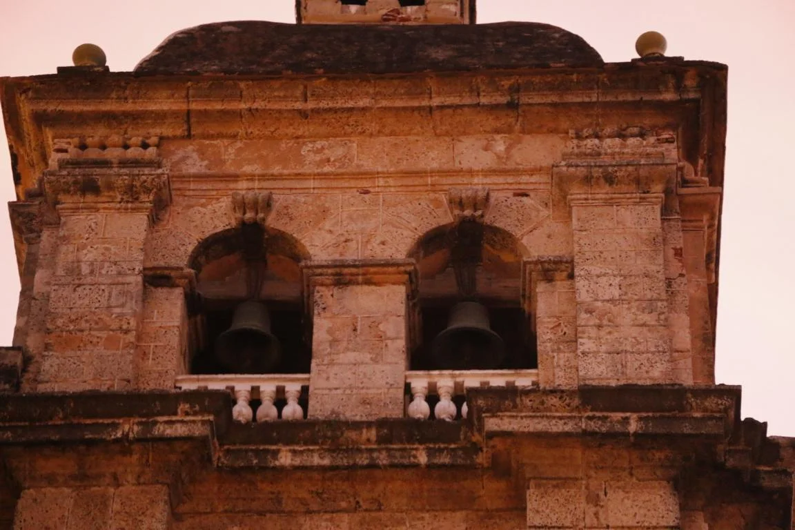
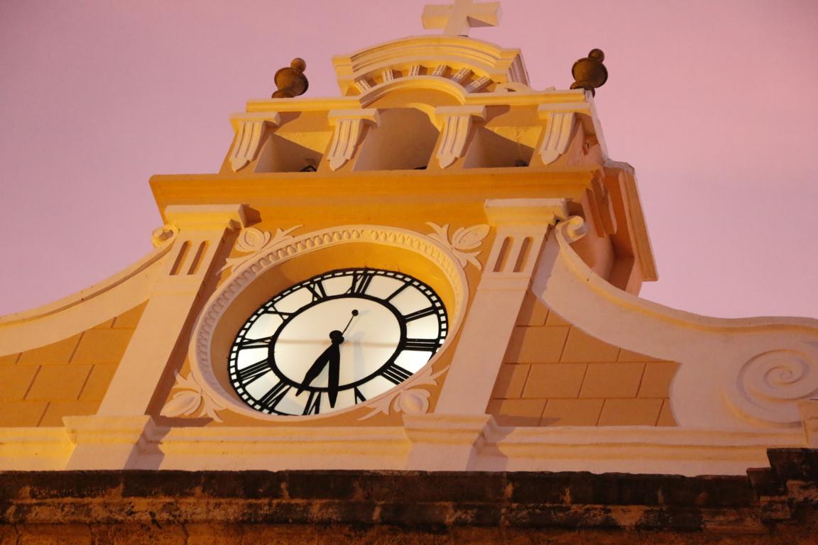
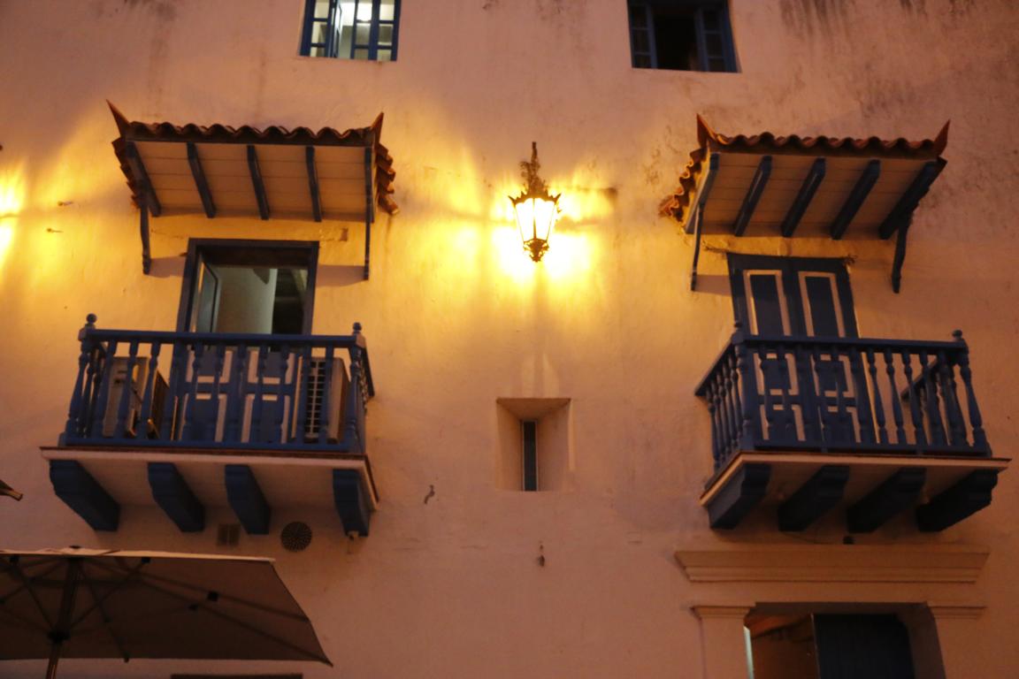
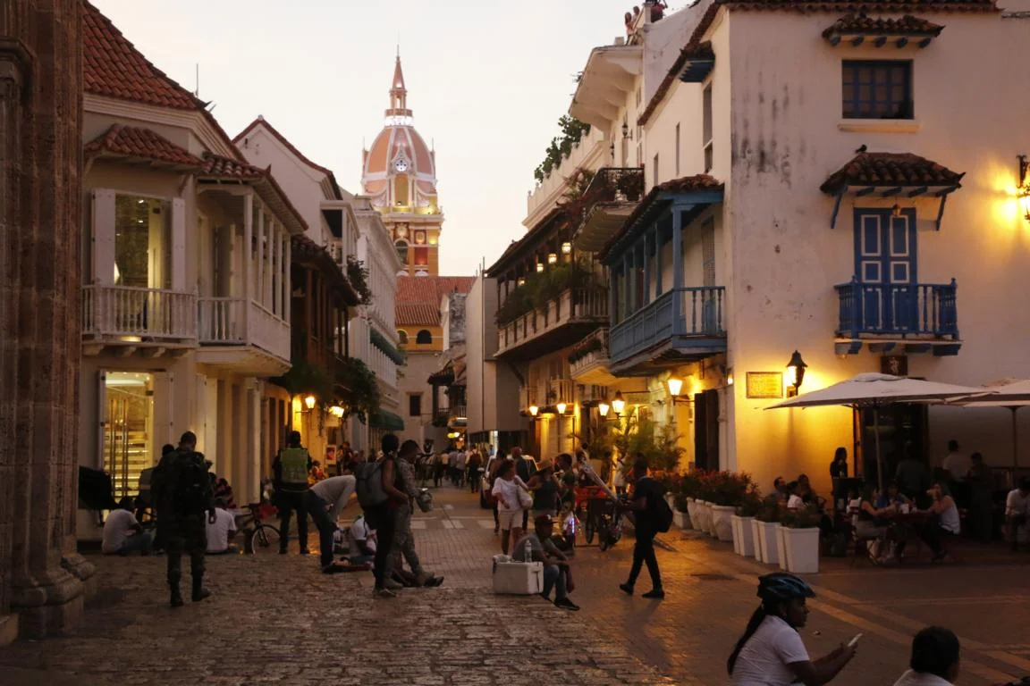
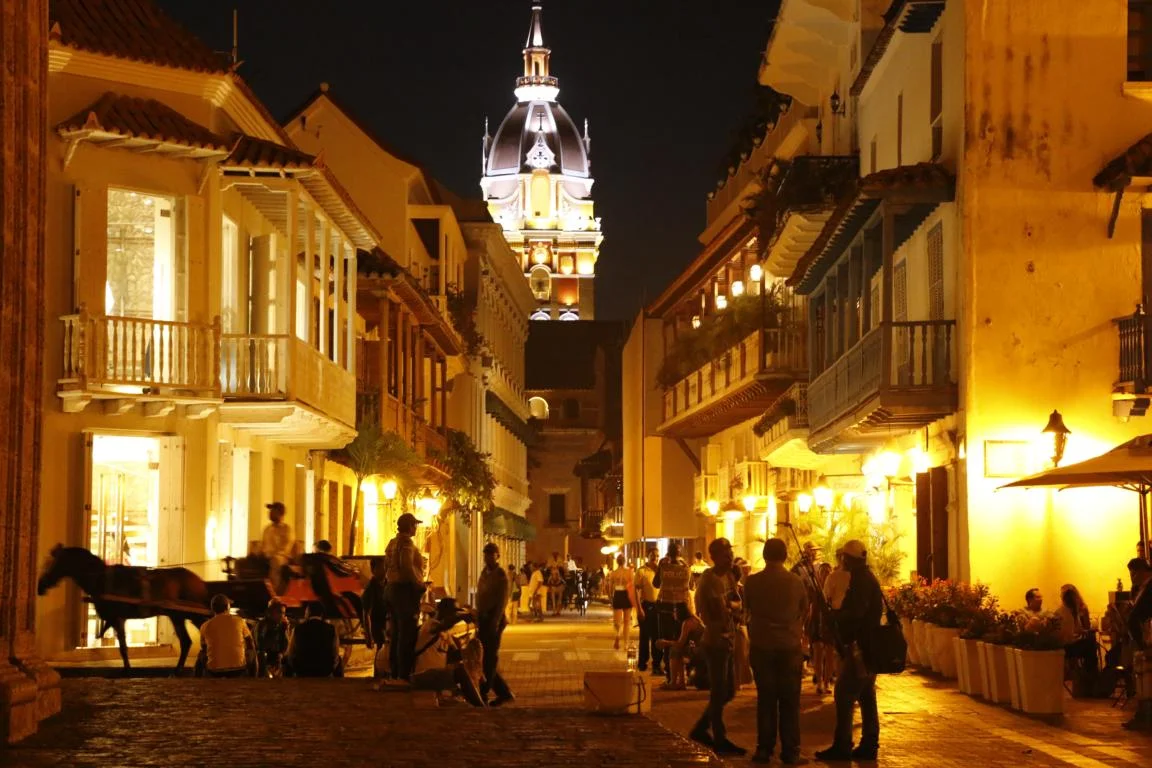
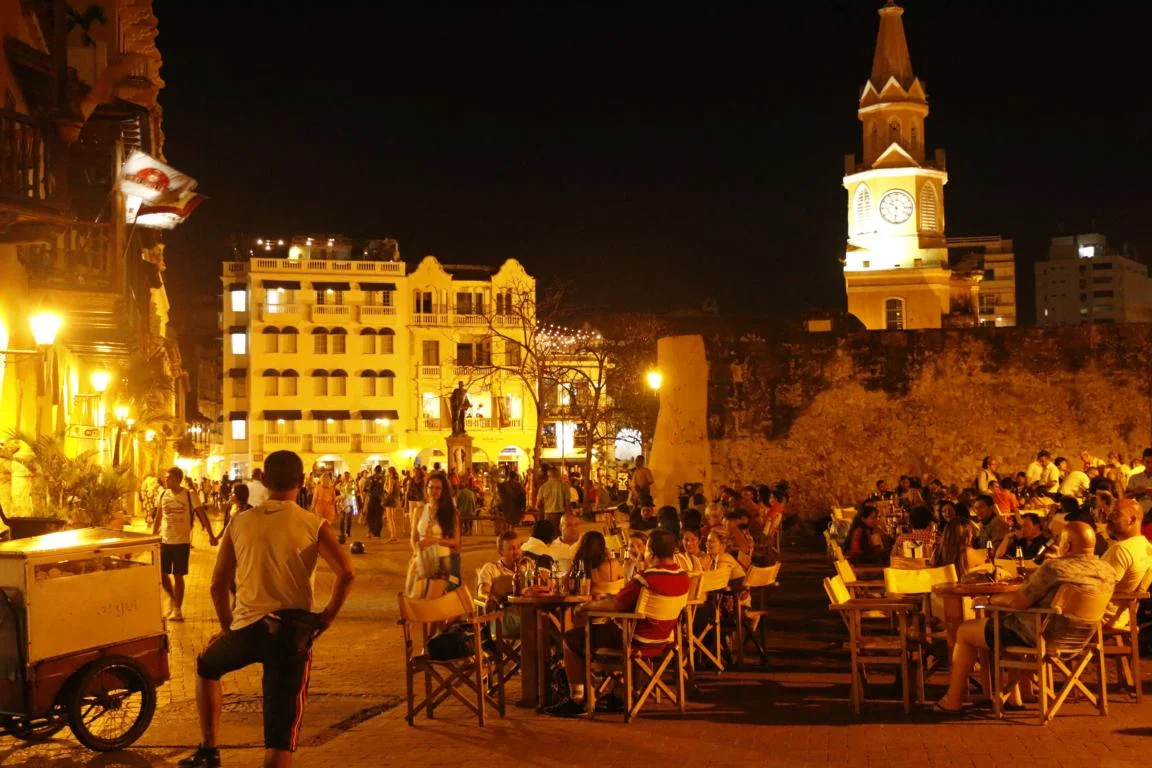
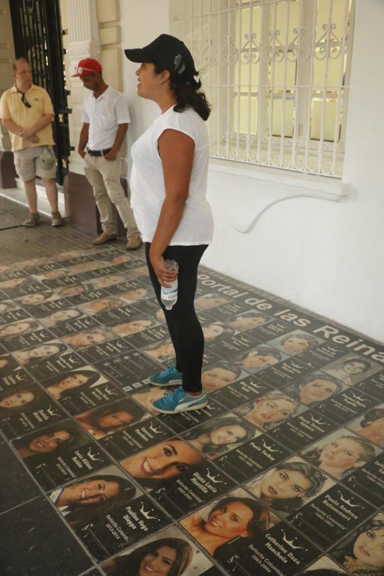
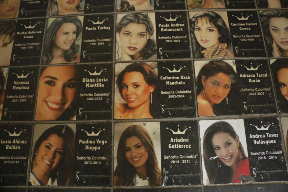
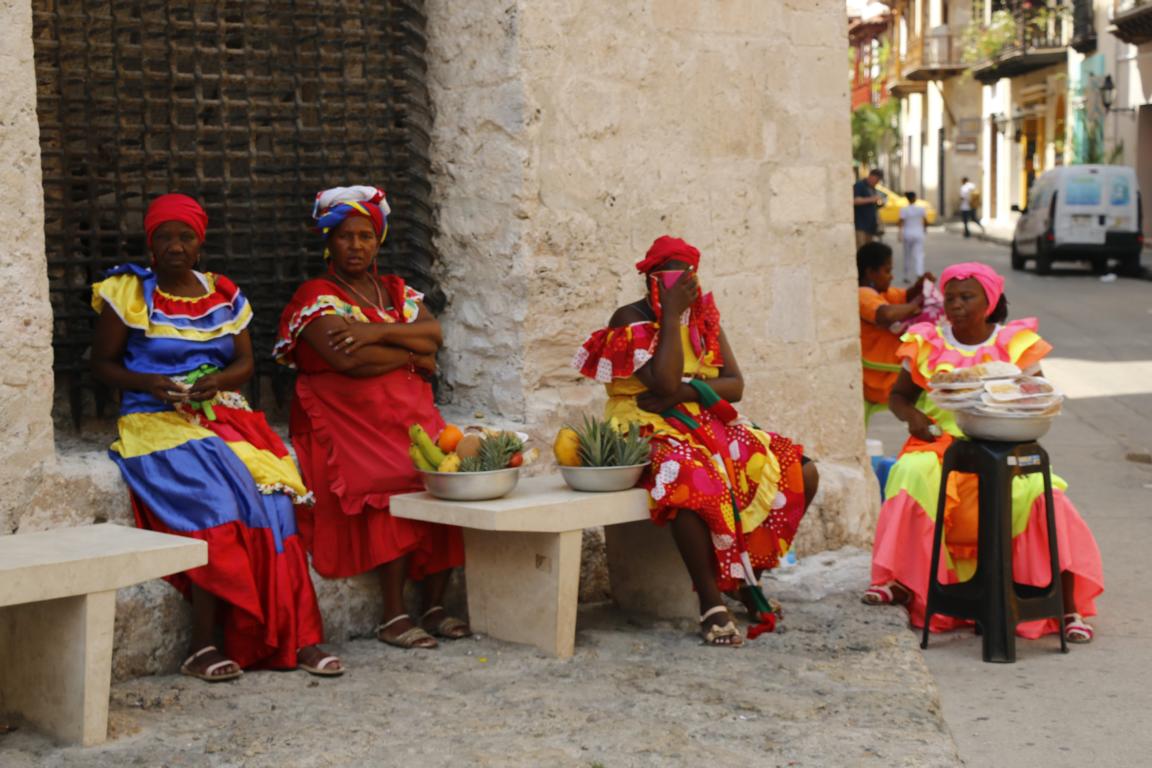
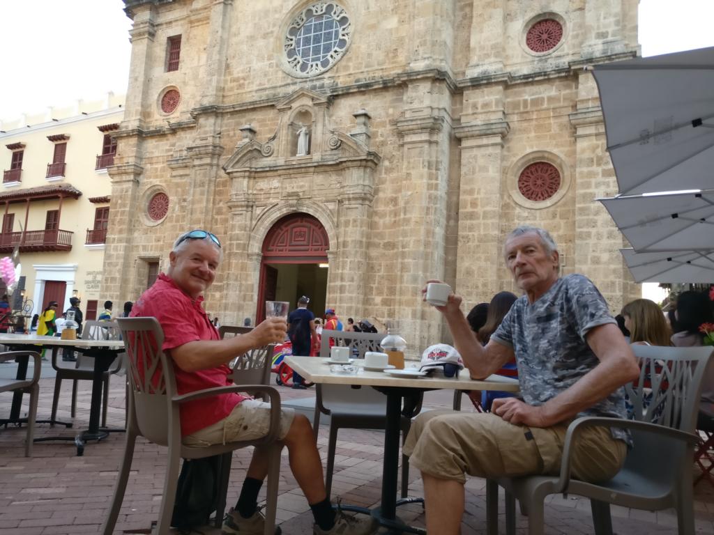
Cartagena, a major Columbian harbor, is famous for its particular beautiful old center. In the 16-18th century the harbor was Spain’s main gateway to ship African slaves to Latin America and to transport gold to Europe. Near the Plaza Bolivar photos of Colombia’s beauty queens are displayed on the pedestrian way.
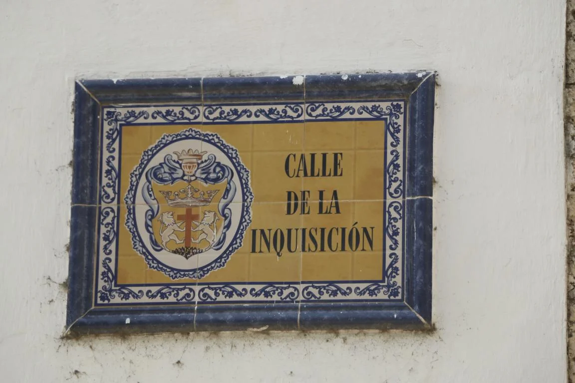
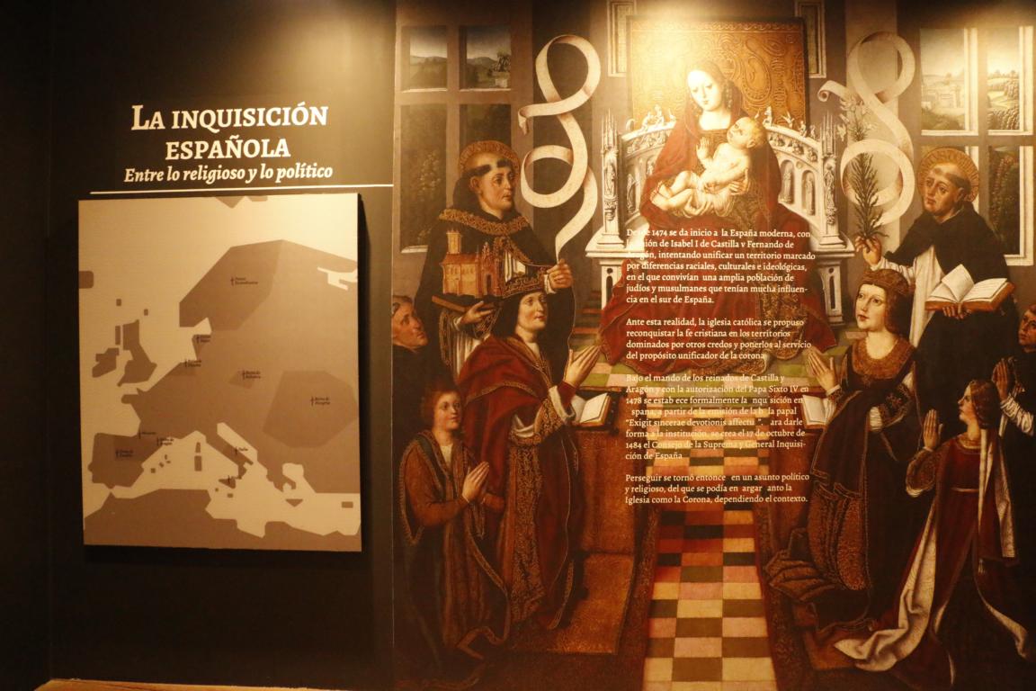
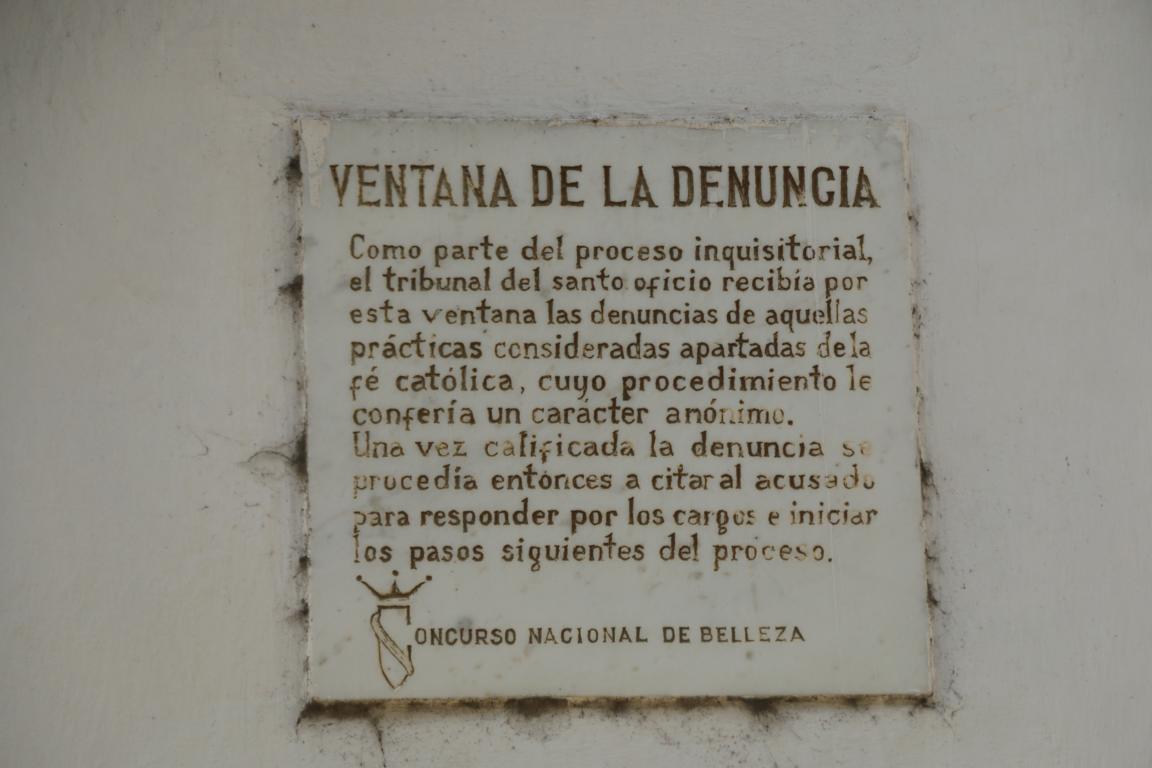
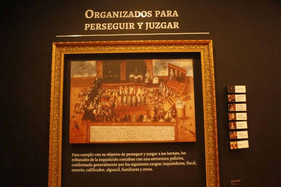
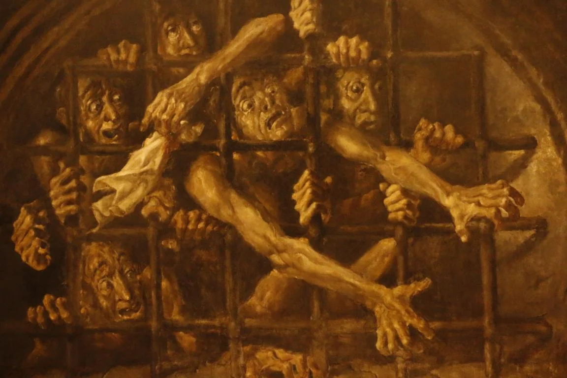
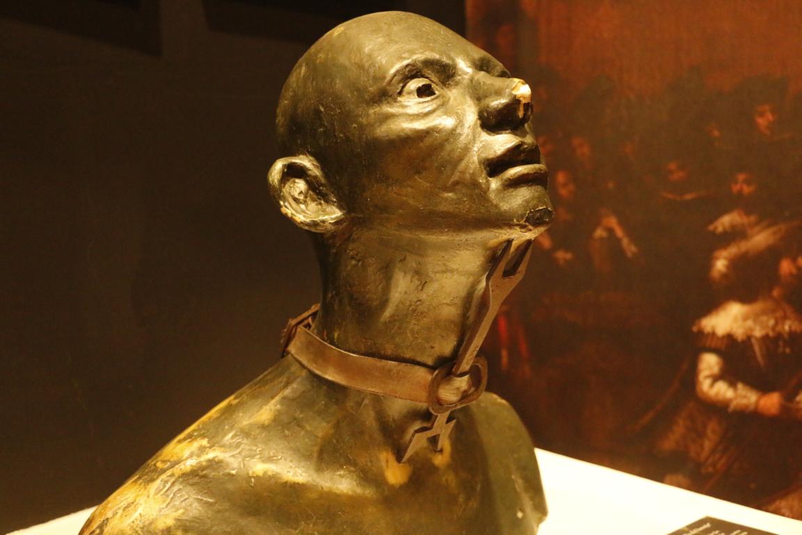
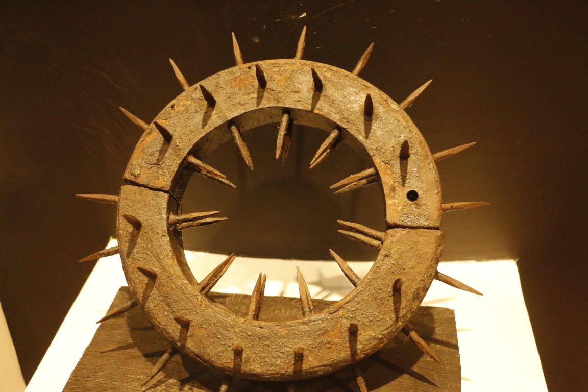
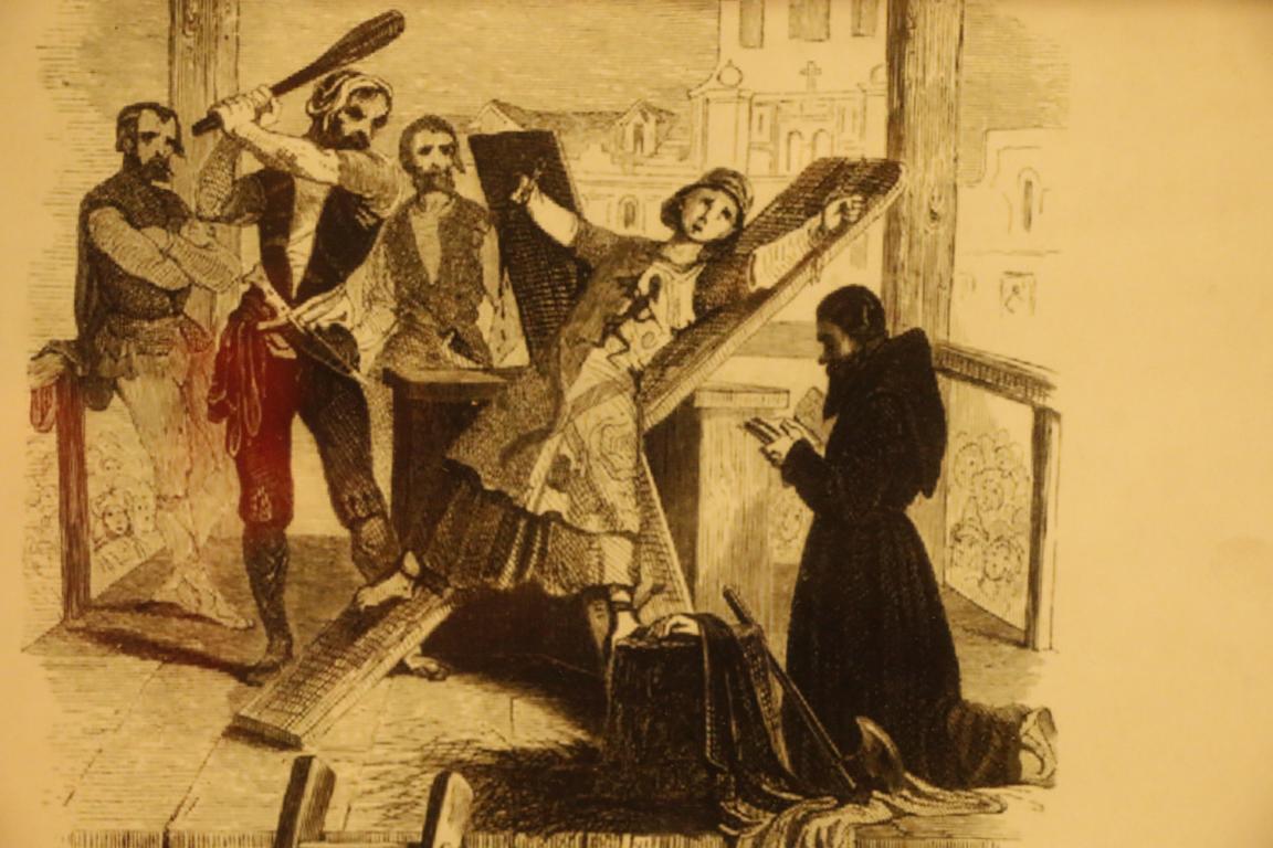
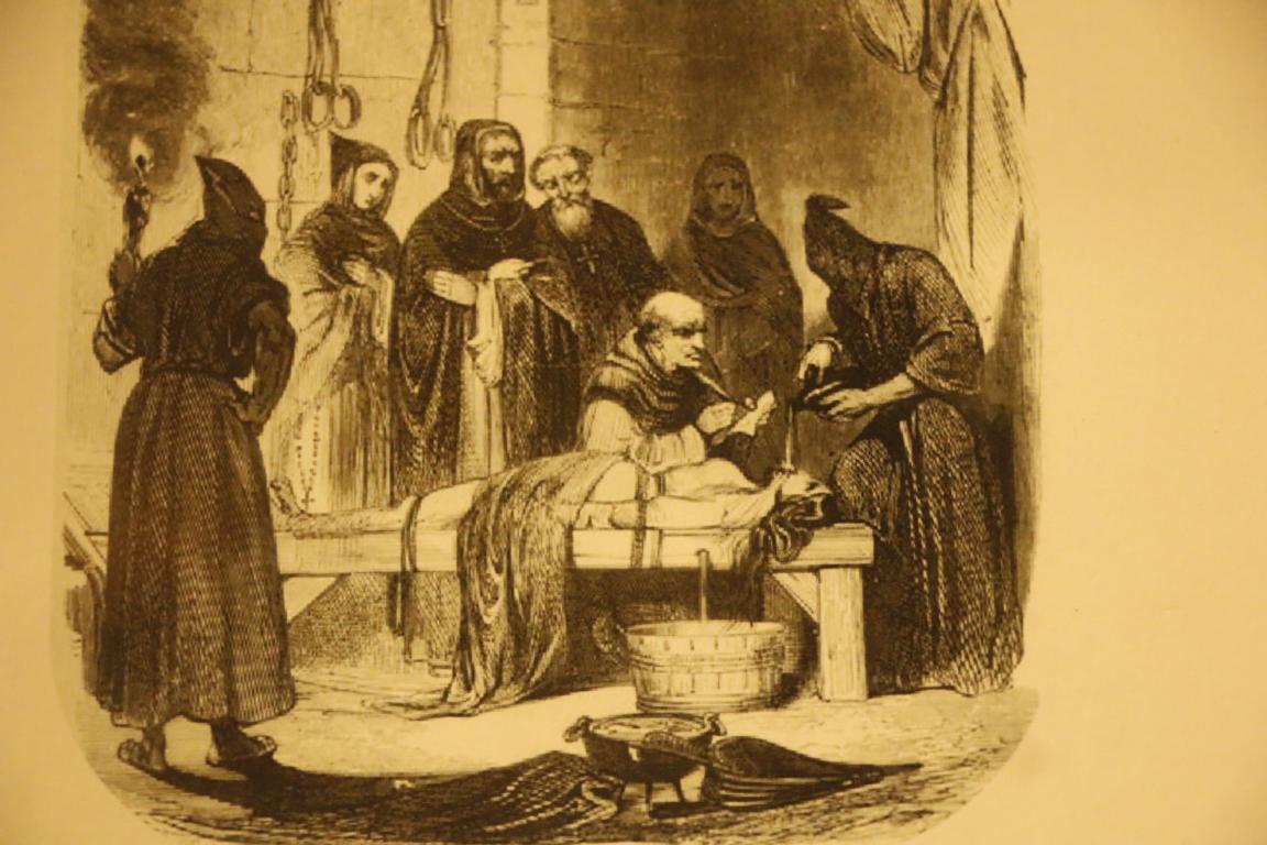
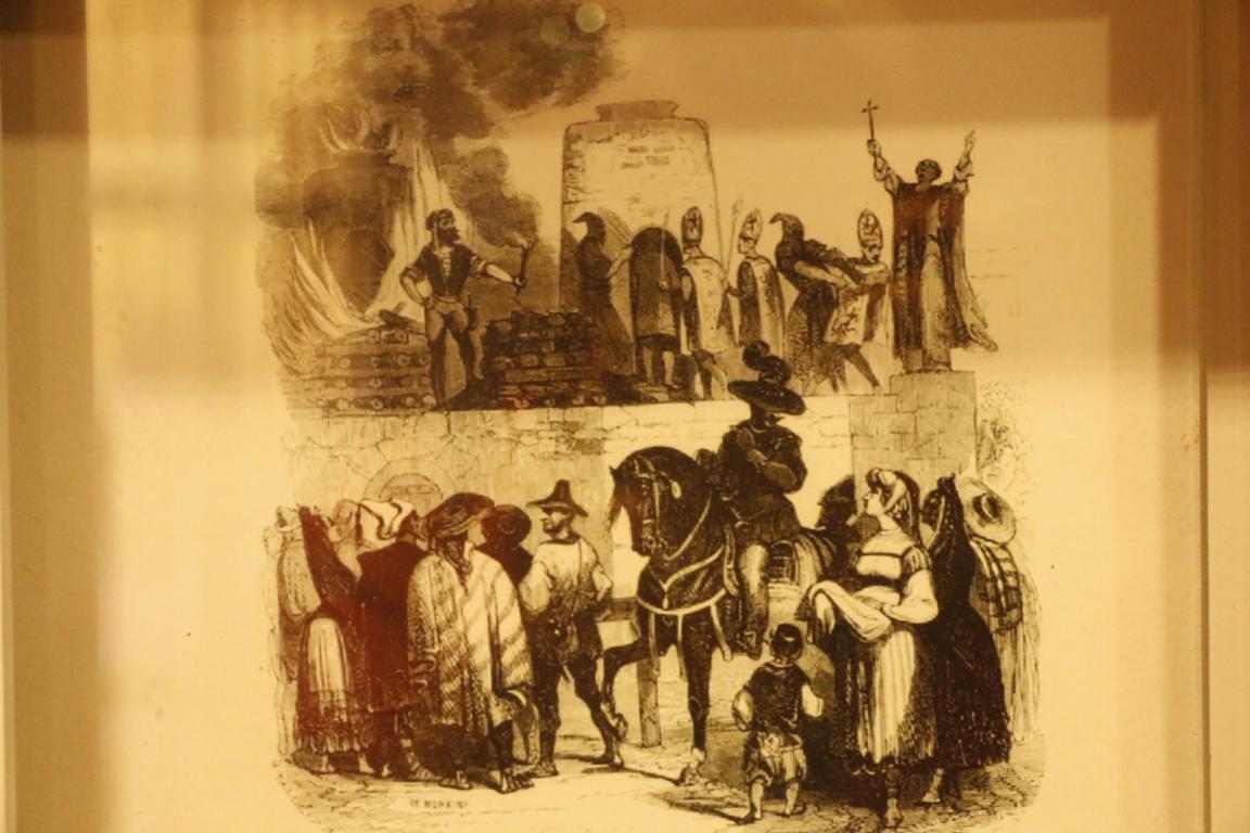
Between 1610 and 1821 Cartagena was also the seat of the Holy Office of the Inquisition which in the name of Catholic faith persecuted any deviation in belief and lifestyle. It was the instrument to eradicate the indigenous religions, the religions brought by the African slaves as well as deviating Christian interpretations coming from Europe. Photos show torture instruments and pictures displayed in the Inquisition museum.
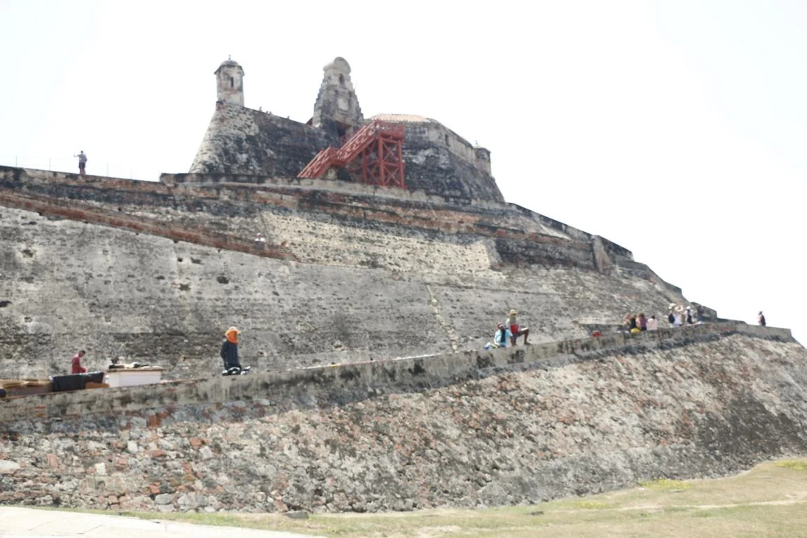
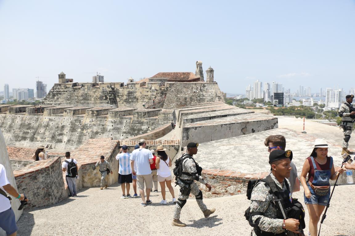
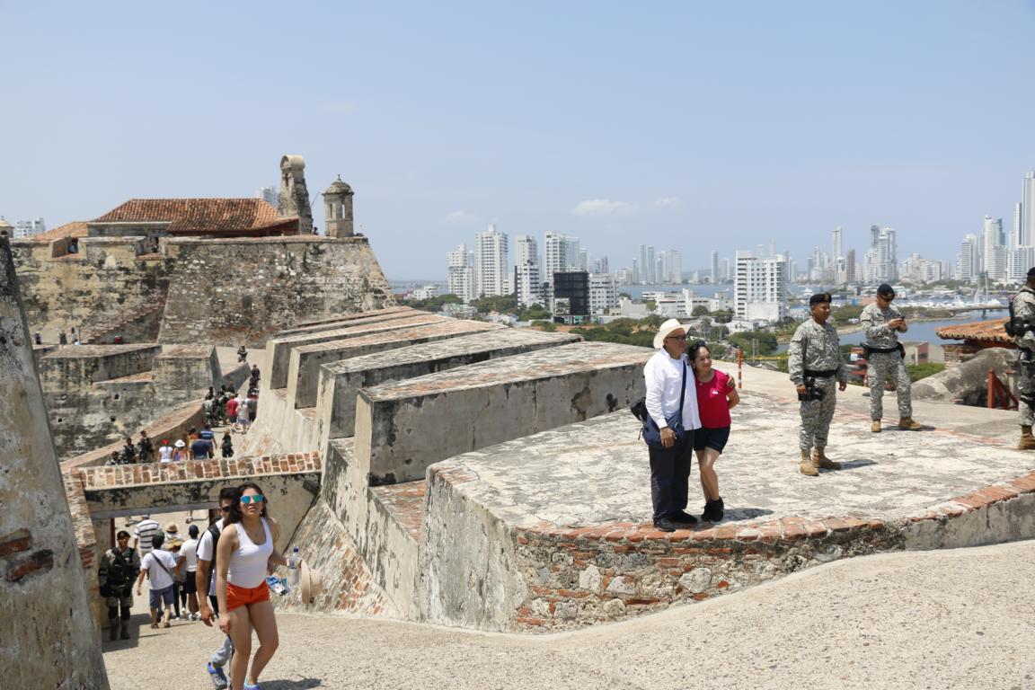
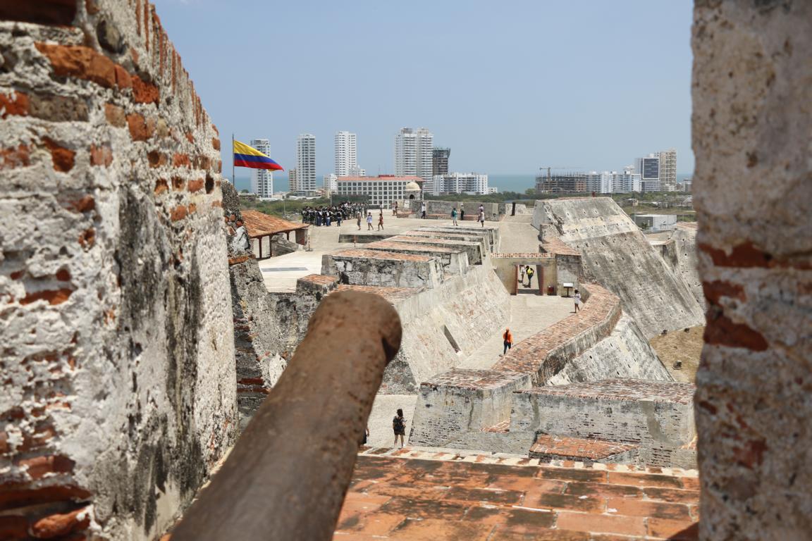
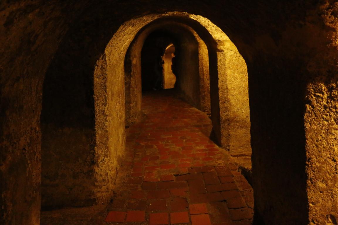
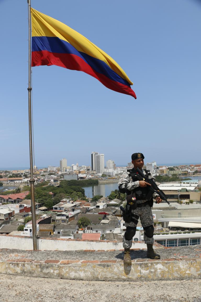
As Cartagena was frequently attacked by pirates and the British Navy Spain in the 17th century started to fortify the city. People of Cartagena today are still proud that in 1621 the town was able to fend off a British navy battle group consisting of 160 ships and 25.000 soldiers which outnumbered Spanish defenders by 10:1. Today the Castillo de San Filipe is a major tourist attraction.
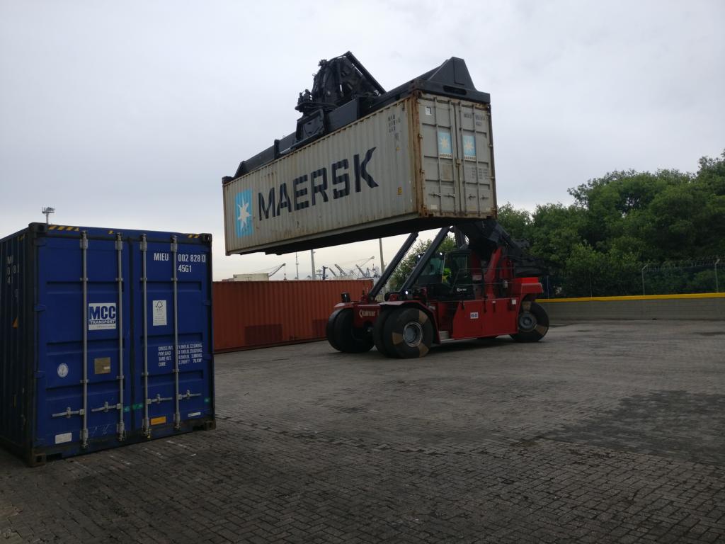
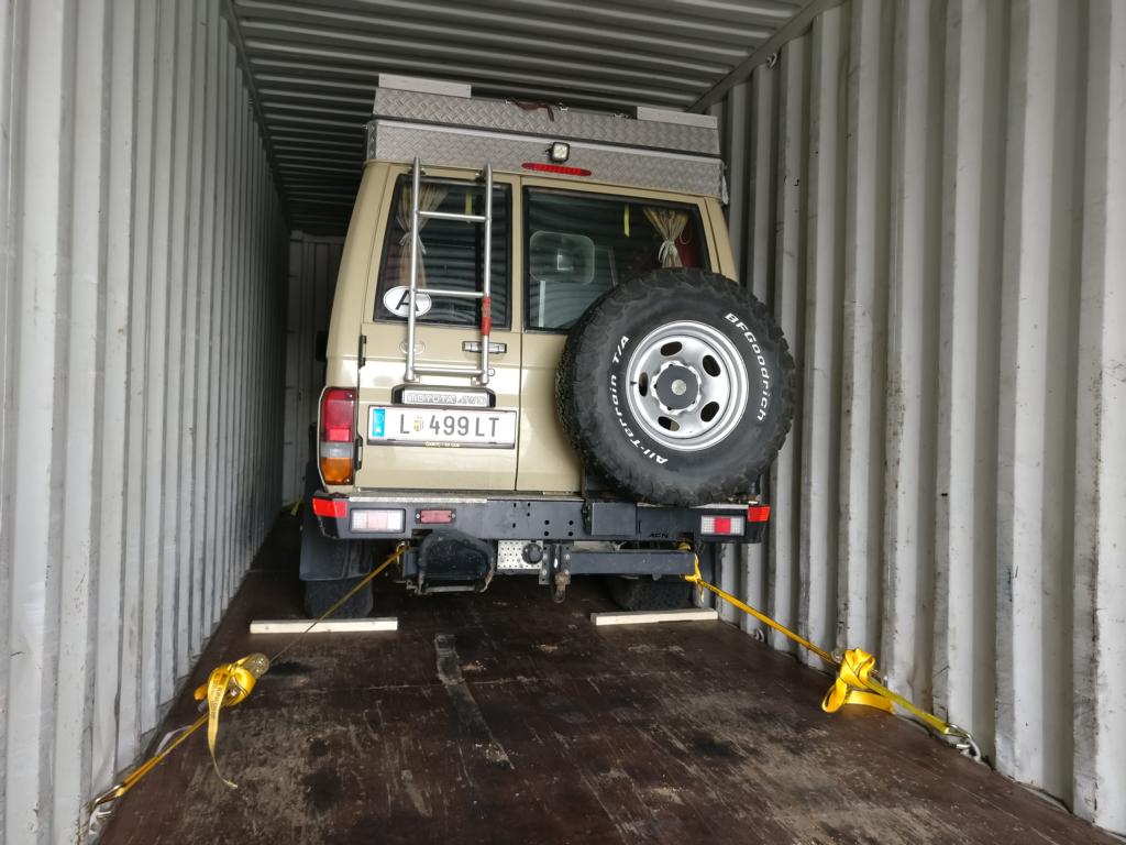
Cartagena was the last city I visited in South America. On 27 April 2018 I started the shipment of the car from Cartagena to Panama. As there is no land route connection between Colombia and Panama (the so-called Darien Gap of the Panamericana) it is necessary to transfer the car by boat to Colon / Panama. Luc, a french overlander who travels a similar route, and I share one 40-foot container for our two cars.
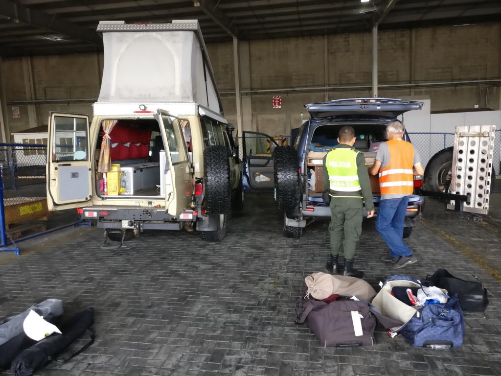
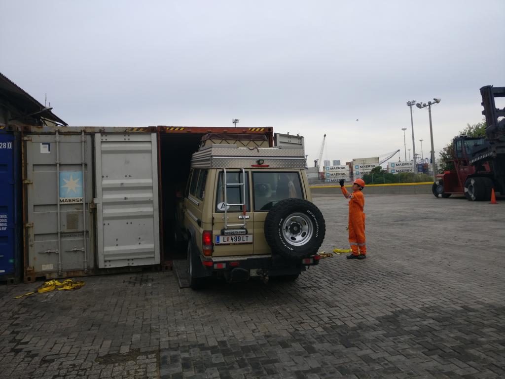
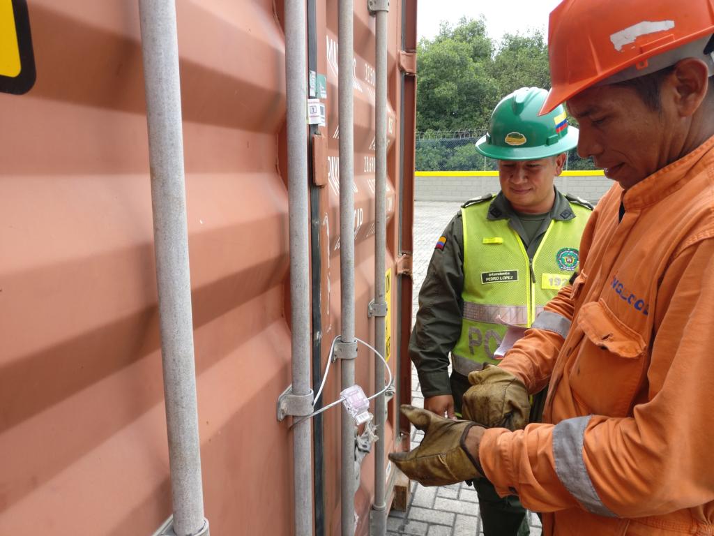
After a careful search by the anti-narcotic police we were permitted to drive the car into a high-cub container which then was sealed by the police.
